Ashburn Wood

Wood, Forest in Yorkshire

England

Ashburn Wood

Not so old Boundary Marker on the west bank of the River Tees Parish Boundary Marker on the south side of a stream running into the River Tees. On the boundary of Hunderthwaite and Romaldkirk parishes. Inscribed HUNDERTHWAITE. The Romaldkirk marker is at NZ 00480 21316 on the north bank of the stream. A list of the boundary markers can be found here <span class="nowrap"><a title="https://1drv.ms/w/s!Apt1XW0zY8DDgcFsnkpupbpYSiiVEQ?e=TaoW1W" rel="nofollow ugc noopener" href="https://1drv.ms/w/s!Apt1XW0zY8DDgcFsnkpupbpYSiiVEQ?e=TaoW1W">Link</a><img style="margin-left:2px;" alt="External link" title="External link - shift click to open in new window" src="https://s1.geograph.org.uk/img/external.png" width="10" height="10"/></span>. Read "Marking Parish Boundaries Along the Teesdale Way" ISBN 0 9520624 2 9.

Milestone Society National ID: YN_TEES10pb
Not so old Boundary Marker on the west bank of the River Tees Credit: Mike Rayner

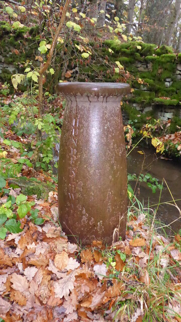
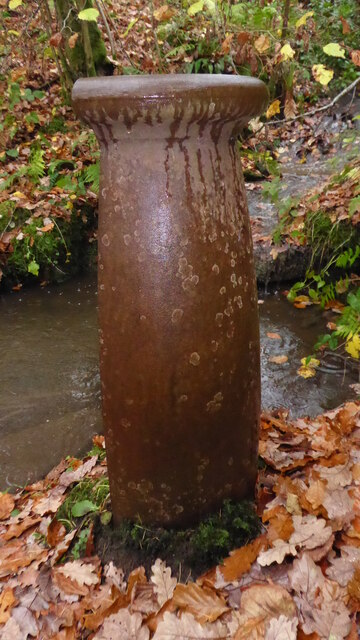
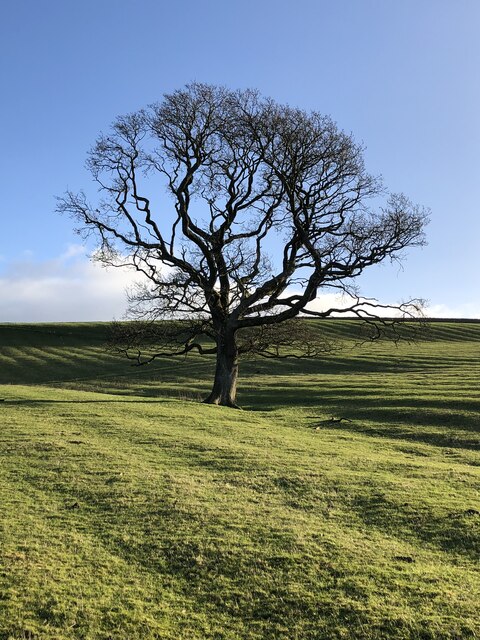
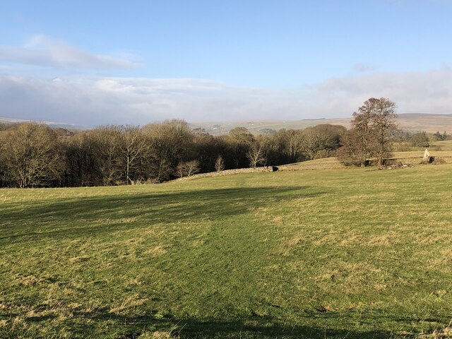
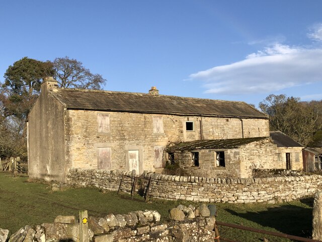
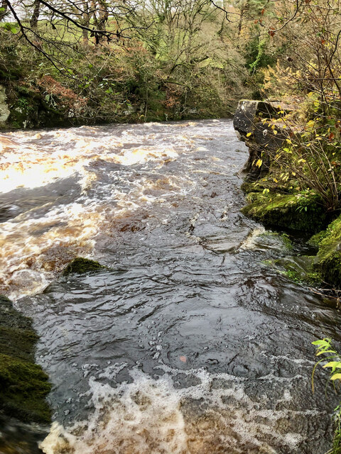
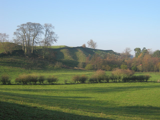
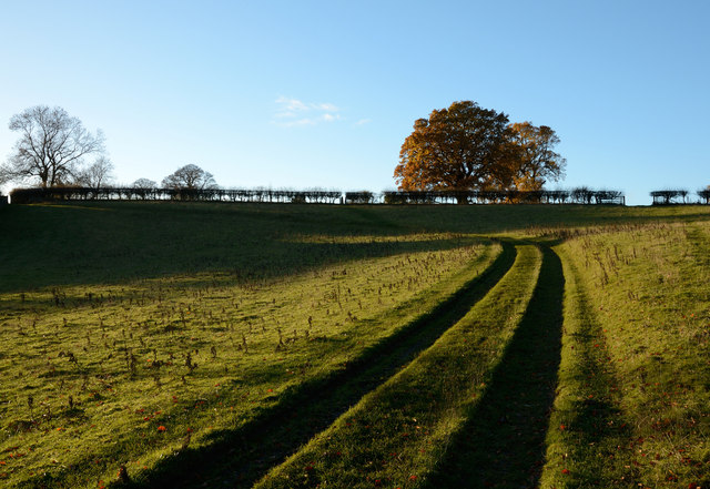
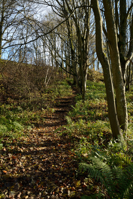
Ashburn Wood is a picturesque woodland located in the county of Yorkshire, England. Situated in the heart of the countryside, it covers an area of approximately 100 acres, making it a significant forested area in the region. The wood is known for its diverse range of flora and fauna, with a variety of tree species including oak, beech, and birch dominating the landscape.

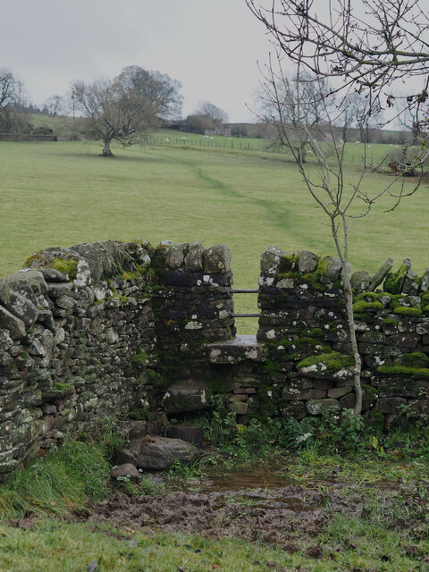
The wood is characterized by its dense canopy, which provides a sheltered habitat for numerous species of birds, mammals, and insects. It is a popular destination for nature enthusiasts and birdwatchers, who come to observe the diverse wildlife that calls Ashburn Wood home. The tranquil atmosphere and peaceful surroundings make it an ideal place for walking, hiking, and picnicking.

Ashburn Wood is also known for its historical significance. It has been a part of the local landscape for centuries and was once used for timber production. Remnants of old sawmills and charcoal burners can still be found within the wood, serving as a reminder of its industrial past.

In recent years, there have been efforts to preserve and protect Ashburn Wood, with the establishment of nature trails and the implementation of sustainable forest management practices. These measures aim to ensure the long-term health and vitality of the woodland, allowing future generations to enjoy its natural beauty and ecological value.

Overall, Ashburn Wood is a cherished natural gem in Yorkshire, offering a peaceful respite from the bustling city life and providing a haven for both wildlife and humans alike.

If you have any feedback on the listing, please let us know in the comments section below.

Ashburn Wood Images

Images are sourced within 2km of 54.587767/-2.0136773 or Grid Reference NY9921. Thanks to Geograph Open Source API. All images are credited.

Not so old Boundary Marker on the west bank of the River Tees Parish Boundary Marker on the south side of a stream running into the River Tees. On the boundary of Hunderthwaite and Romaldkirk parishes. Inscribed HUNDERTHWAITE. The Romaldkirk marker is at NZ 00480 21316 on the north bank of the stream. A list of the boundary markers can be found here <span class="nowrap"><a title="https://1drv.ms/w/s!Apt1XW0zY8DDgcFsnkpupbpYSiiVEQ?e=TaoW1W" rel="nofollow ugc noopener" href="https://1drv.ms/w/s!Apt1XW0zY8DDgcFsnkpupbpYSiiVEQ?e=TaoW1W">Link</a><img style="margin-left:2px;" alt="External link" title="External link - shift click to open in new window" src="https://s1.geograph.org.uk/img/external.png" width="10" height="10"/></span>. Read "Marking Parish Boundaries Along the Teesdale Way" ISBN 0 9520624 2 9.

Milestone Society National ID: YN_TEES10pb
Not so old Boundary Marker on the west bank of the River Tees
Parish Boundary Marker on the south side of a stream running into the River Tees. On the boundary of Hunderthwaite and Romaldkirk parishes. Inscribed HUNDERTHWAITE. The Romaldkirk marker is at NZ 00480 21316 on the north bank of the stream. A list of the boundary markers can be found here LinkExternal link. Read "Marking Parish Boundaries Along the Teesdale Way" ISBN 0 9520624 2 9. Milestone Society National ID: YN_TEES10pb
Not so old Boundary Marker on the west bank of the River Tees Parish Boundary Marker on the north side of a stream running into the River Tees. On the boundary of Hunderthwaite and Romaldkirk parishes. Inscribed ROMALDKIRK. The Hunderthwaite marker is at NZ 00479 21315 on the south bank of the stream. A list of the boundary markers can be found here <span class="nowrap"><a title="https://1drv.ms/w/s!Apt1XW0zY8DDgcFsnkpupbpYSiiVEQ?e=TaoW1W" rel="nofollow ugc noopener" href="https://1drv.ms/w/s!Apt1XW0zY8DDgcFsnkpupbpYSiiVEQ?e=TaoW1W">Link</a><img style="margin-left:2px;" alt="External link" title="External link - shift click to open in new window" src="https://s1.geograph.org.uk/img/external.png" width="10" height="10"/></span>. Read "Marking Parish Boundaries Along the Teesdale Way" ISBN 0 9520624 2 9.

Milestone Society National ID: YN_TEES10pb
Not so old Boundary Marker on the west bank of the River Tees
Parish Boundary Marker on the north side of a stream running into the River Tees. On the boundary of Hunderthwaite and Romaldkirk parishes. Inscribed ROMALDKIRK. The Hunderthwaite marker is at NZ 00479 21315 on the south bank of the stream. A list of the boundary markers can be found here LinkExternal link. Read "Marking Parish Boundaries Along the Teesdale Way" ISBN 0 9520624 2 9. Milestone Society National ID: YN_TEES10pb
Bare tree in rigg-and-furrow field
Course of the Teesdale Way near Barnley
Bare tree beside the Teesdale Way
River Tees in gorge from viewpoint above Shipley Wood
Dairy Cottage at Woden Croft
Derelict farmhouse and buildings at Low Garth
Rear Aspect of Summerhouse Listed as 19th century — for more info. see <span class="nowrap"><a title="https://www.heritagegateway.org.uk/Gateway/Results_Single.aspx?resourceID=5&uid=1160214" rel="nofollow ugc noopener" href="https://www.heritagegateway.org.uk/Gateway/Results_Single.aspx?resourceID=5&uid=1160214">Link</a><img style="margin-left:2px;" alt="External link" title="External link - shift click to open in new window" src="https://s1.geograph.org.uk/img/external.png" width="10" height="10"/></span>
Rear Aspect of Summerhouse
Listed as 19th century — for more info. see LinkExternal link
River Tees in Full Spate by the Unreachable Fairy Cupboards
Stile Struggles: Cornered by an Impassable Quagmire
Oracular Ovines
Oracular Ovines
Gueswick Hills near Romaldkirk
The B6277 crossing Wilden Bridge
Rutted route rising from Low Garth Farm access routes which become rutted are regularly hideously muddied affairs; not so here with this 'machined' way rising from the deserted farm at Low Garth above the west side of the River Tees.
Rutted route rising from Low Garth
Farm access routes which become rutted are regularly hideously muddied affairs; not so here with this 'machined' way rising from the deserted farm at Low Garth above the west side of the River Tees.
Teesdale Way rising through Great Wood The path rises obliquely across the slope on which Great Wood grows, the way being stepped with timbers retaining earth to ease passage and minimise erosion.
Teesdale Way rising through Great Wood
The path rises obliquely across the slope on which Great Wood grows, the way being stepped with timbers retaining earth to ease passage and minimise erosion.
Lone tree beside fence on route of Teesdale Way In this image Teesdale lies below, to the left. The dome of moorland partly obscured by the lowest bough of the tree extends to the west dividing the main Tees valley, which lies unseen in line with the fence, from Lunedale which lies to the left in the photograph.
Lone tree beside fence on route of Teesdale Way
In this image Teesdale lies below, to the left. The dome of moorland partly obscured by the lowest bough of the tree extends to the west dividing the main Tees valley, which lies unseen in line with the fence, from Lunedale which lies to the left in the photograph.
Cottages at Woden Croft There's a collection of buildings at Woden Croft which lies high above the west side of the River Tees. The main house is out of view, behind the camera; of those seen here some, certainly, are used as holiday lets. The route of the Teesdale Way passes the buildings.
Cottages at Woden Croft
There's a collection of buildings at Woden Croft which lies high above the west side of the River Tees. The main house is out of view, behind the camera; of those seen here some, certainly, are used as holiday lets. The route of the Teesdale Way passes the buildings.
Show me another place!

Ashburn Wood is located at Grid Ref: NY9921 (Lat: 54.587767, Lng: -2.0136773)

Division: North Riding

Unitary Authority: County Durham

Police Authority: Durham

What 3 Words

///embellish.unloading.chatted. Near Romaldkirk, Co. Durham

Nearby Locations

Ashburn Wood Phillis Wood

Related Wikis

Hunderthwaite

Hunderthwaite is a village and civil parish in Teesdale, in the Pennines of England. The population of the civil parish taken at the 2011 census was 114...

Romaldkirk railway station

Romaldkirk railway station was situated on the Tees Valley Railway between Barnard Castle and Middleton-in-Teesdale. It served the village of Romaldkirk...

Romaldkirk

Romaldkirk is a village in Teesdale, in the Pennines of England. The village lies within the historic boundaries of the North Riding of Yorkshire, but...

Baldersdale Woodlands

Baldersdale Woodlands is a Site of Special Scientific Interest in the Teesdale district of south-west County Durham, England. It consists primarily of...

Eggleston

Eggleston is a village in County Durham, in England. The population of the civil parish taken at the 2011 Census was 448. It is in the Teesdale, a few...

Shipley and Great Woods

Shipley and Great Woods is a Site of Special Scientific Interest in the Teesdale district of south-west County Durham, England. It occupies a steep ravine...

River Balder

The Balder is an English river that rises on the eastern slope of Stainmore Common in the Pennine Chain and flows eastwards for about 23.4 kilometres...

Eggleston Hall

Eggleston Hall is a privately owned 19th-century English country house in Eggleston, Teesdale, County Durham. It is a Grade II* listed building. ��2�...

Nearby Amenities

Located within 500m of 54.587767,-2.0136773
Wildon Grange
Place: farm
Source: OS 1:25k
Lat/Long: 54.5888006/-2.0067682
Power: pole
Lat/Long: 54.5917868/-2.0146045
Power: pole
Lat/Long: 54.5910602/-2.0142867
Power: pole
Lat/Long: 54.5904627/-2.0140211
Power: pole
Lat/Long: 54.5898775/-2.0137636
Power: pole
Switch: mechanical
Lat/Long: 54.5889163/-2.0135008
Bench
Backrest: yes
Lat/Long: 54.5918761/-2.0107341
Power: pole
Lat/Long: 54.5910719/-2.0142169
Power: pole
Lat/Long: 54.591371/-2.0130126
Power: pole
Lat/Long: 54.5916228/-2.0120189
Leisure: picnic_table
Lat/Long: 54.5898698/-2.01279
Power: pole
Lat/Long: 54.5882161/-2.0109902
Fixme: FP continues
Lat/Long: 54.5853159/-2.0133305
Barrier: stile
Stile: stepover
Lat/Long: 54.5853299/-2.0132661
Bench
Backrest: yes
Lat/Long: 54.5852514/-2.0131373
Power: pole
Lat/Long: 54.583788/-2.0112947
Power: pole
Lat/Long: 54.5843763/-2.0118861
Power: pole
Lat/Long: 54.5849172/-2.0124078
Power: pole
Lat/Long: 54.5856104/-2.0125848
Power: pole
Lat/Long: 54.587338/-2.0130596
Power: pole
Lat/Long: 54.5880549/-2.0132319
Power: pole
Lat/Long: 54.5881369/-2.012043
Power: pole
Lat/Long: 54.5880592/-2.0132688
The data included in this document is from www.openstreetmap.org. The data is made available under ODbL.

Have you been to Ashburn Wood?

Leave your review of Ashburn Wood below (or comments, questions and feedback).