Crownpits
Settlement in Surrey Waverley
England
Crownpits
Crownpits is a small village located in the county of Surrey, in the southeastern part of England. Situated near the town of Leatherhead, Crownpits is nestled within the beautiful Surrey Hills Area of Outstanding Natural Beauty.
The village is known for its picturesque setting, surrounded by rolling hills and lush green countryside. It is a popular destination for outdoor enthusiasts, offering numerous walking and cycling trails that showcase the area's natural beauty. The nearby Norbury Park, a historic estate with woodlands and meadows, provides further opportunities for exploration.
Crownpits has a close-knit community and a tranquil atmosphere, making it an ideal place for those seeking a peaceful rural lifestyle. The village is primarily residential, with a mix of traditional cottages and modern houses. It has a small population and limited amenities, including a local pub and a village hall that serves as a focal point for community events.
Despite its rural setting, Crownpits benefits from its proximity to nearby towns and cities. The town of Leatherhead is just a short drive away, offering a range of amenities including shops, restaurants, and leisure facilities. Additionally, London is easily accessible by both road and rail, making Crownpits an attractive option for commuters looking to escape the hustle and bustle of the city.
Overall, Crownpits is a charming village that offers a peaceful and idyllic lifestyle amidst the stunning landscapes of Surrey.
If you have any feedback on the listing, please let us know in the comments section below.
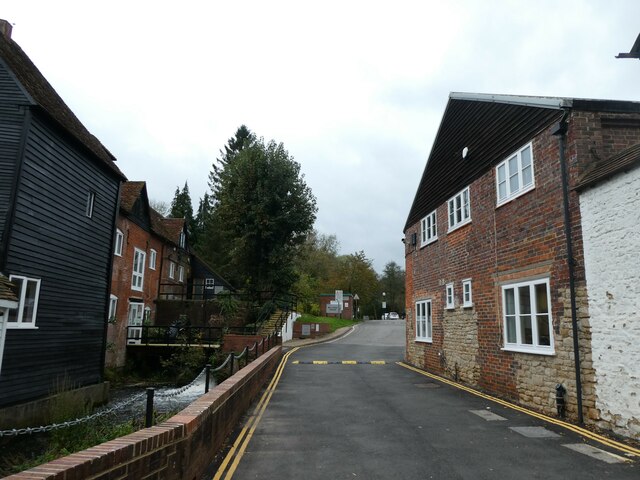
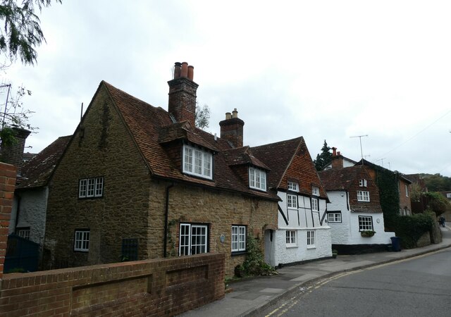
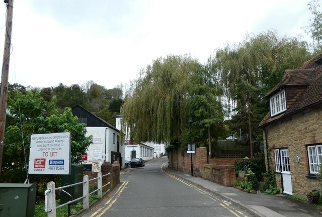
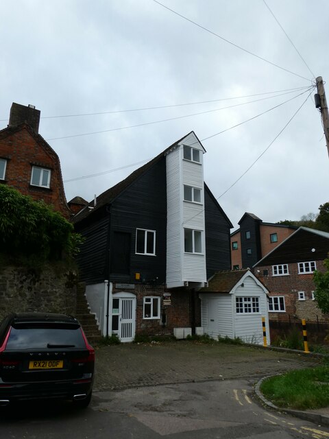
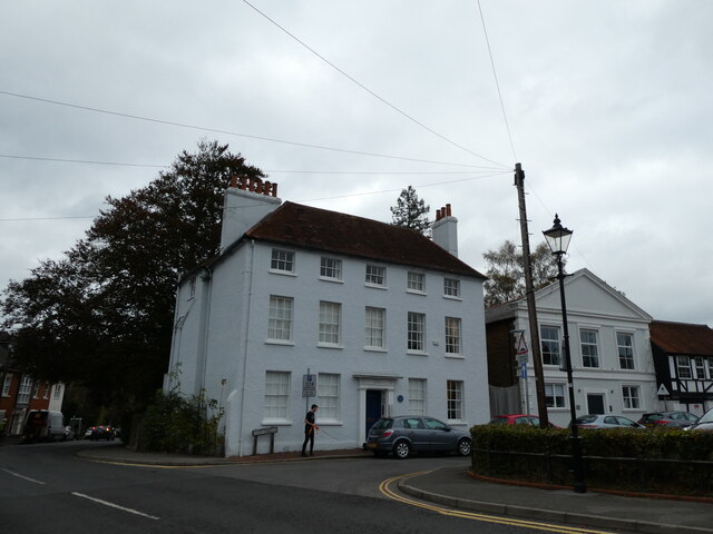
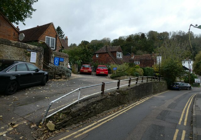
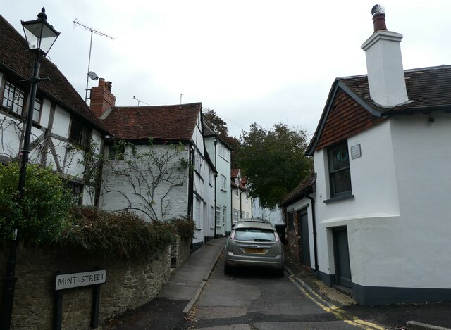
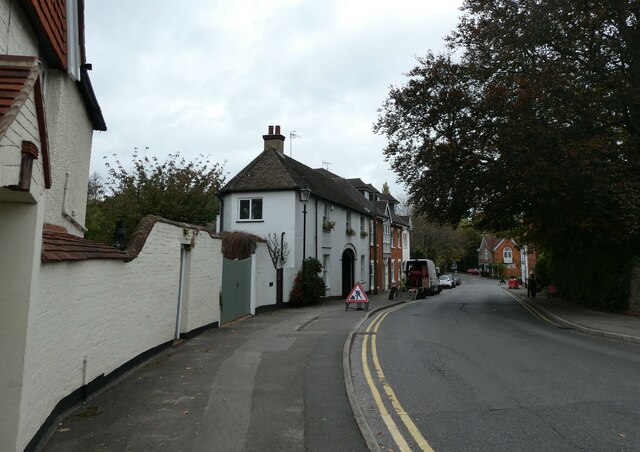
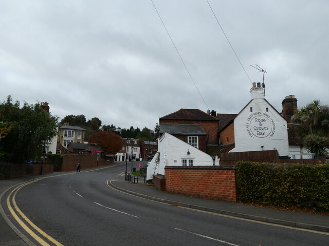
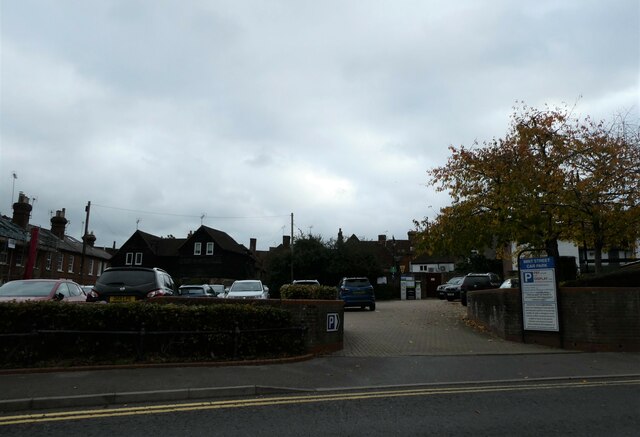
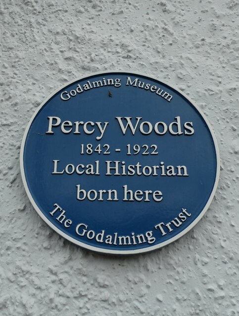
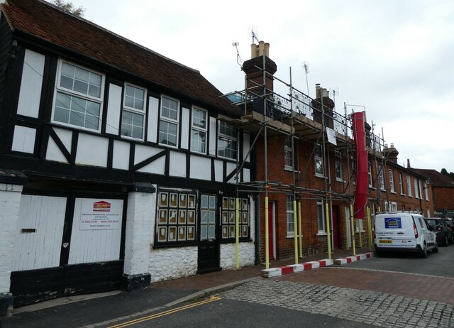
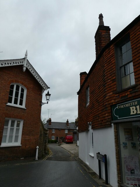
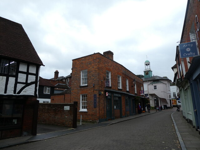
Crownpits Images
Images are sourced within 2km of 51.180403/-0.60762 or Grid Reference SU9743. Thanks to Geograph Open Source API. All images are credited.


Crownpits is located at Grid Ref: SU9743 (Lat: 51.180403, Lng: -0.60762)
Administrative County: Surrey
District: Waverley
Police Authority: Surrey
What 3 Words
///donor.tune.tall. Near Godalming, Surrey
Nearby Locations
Related Wikis
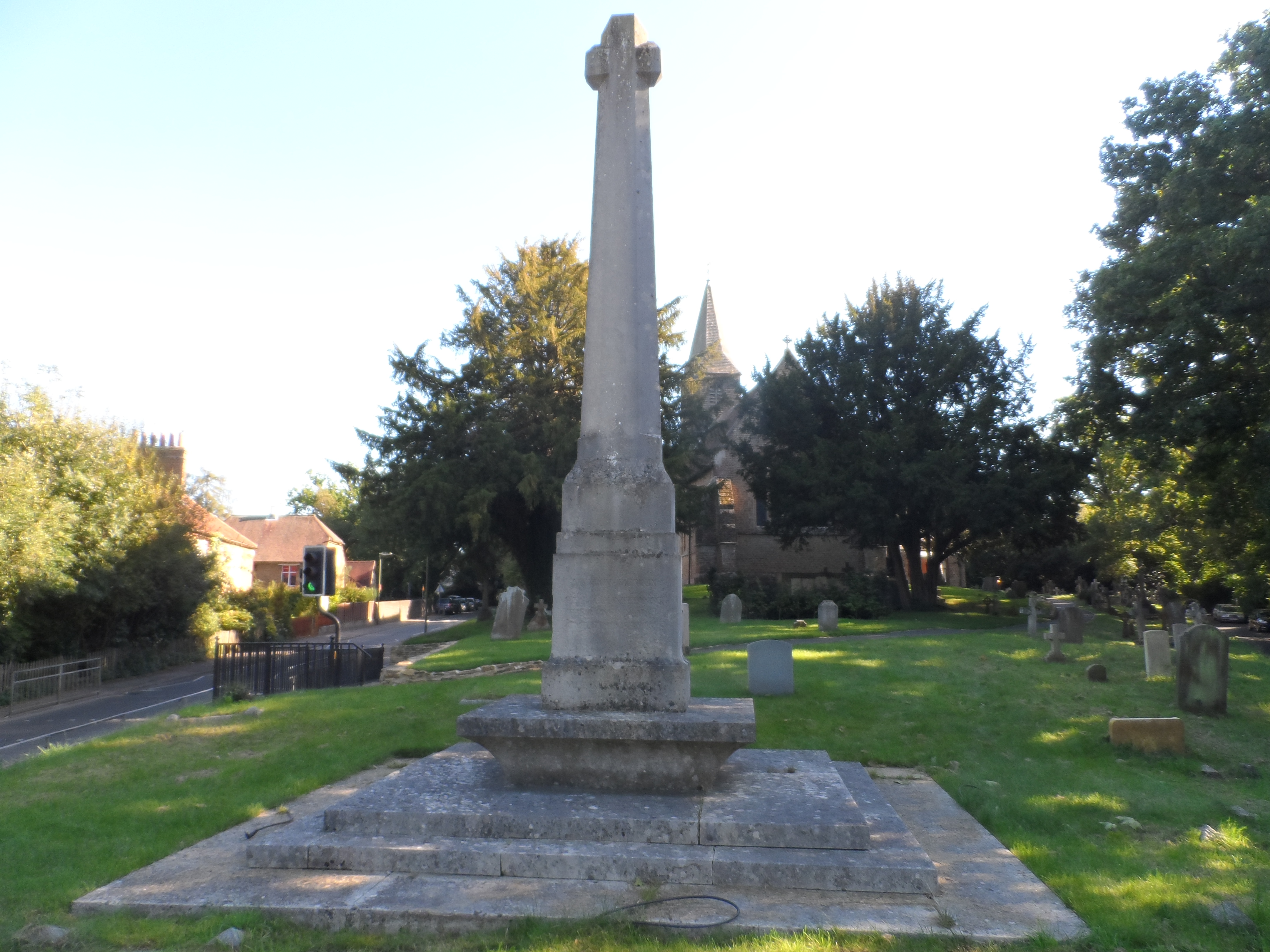
Busbridge War Memorial
Busbridge War Memorial is a First World War memorial in the churchyard of St John's Church in village of Busbridge in Surrey, south-eastern England. Designed...

Busbridge Church
Busbridge Church or St John the Baptist Church, is an evangelical Anglican Church in Busbridge, Godalming, England. Busbridge Church is part of a joint...

Jekyll Memorial, Busbridge
The Jekyll Memorial, Busbridge, Surrey, England, commemorates the gardener Gertrude Jekyll and members of her family. Designed by Jekyll's friend and collaborator...

St Edmund Church, Godalming
St Edmund's Church (in full, The Church of St Edmund King and Martyr) is the Roman Catholic parish church of Godalming, a town in the English county of...
Nearby Amenities
Located within 500m of 51.180403,-0.60762Have you been to Crownpits?
Leave your review of Crownpits below (or comments, questions and feedback).