Cock Wood

Wood, Forest in Cheshire

England

Cock Wood

In Which Myriad? I've wanted to visit this spot for a while.  It's where the four Myriads SD, SE, SJ and SK meet.  Several people have obviously been here before as there's a geocache here.  We signed the visitor book in the box - the last person to have visited it before us today was on 31st. July 2021!  Pedantically, according to my GPS, the box position was about a metre too far north, but we left it where we found it!
In Which Myriad? Credit: Andy Beecroft

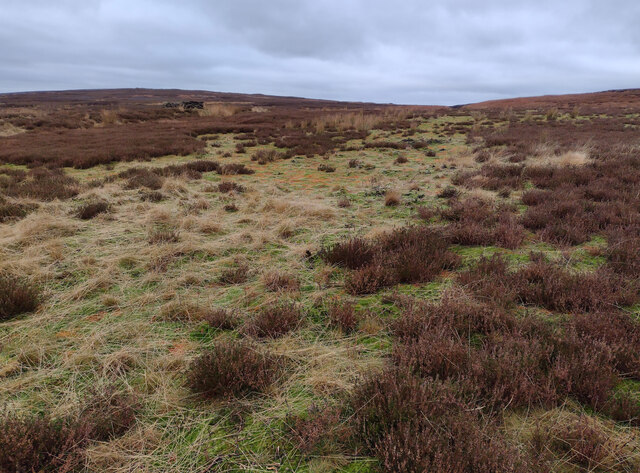
Cock Wood is a picturesque woodland located in the county of Cheshire, England. Situated near the village of Macclesfield, this woodland is a popular destination for nature enthusiasts and hikers alike. Covering an area of approximately 100 acres, Cock Wood is a haven for biodiversity and offers a tranquil escape from the surrounding urban areas.

The woodland is predominantly made up of mixed deciduous trees, including oak, beech, and birch. The dense foliage provides a rich and vibrant habitat for a variety of wildlife species. Visitors may have the opportunity to spot a range of bird species, such as woodpeckers, owls, and various songbirds.

A network of well-maintained footpaths weaves through Cock Wood, allowing visitors to explore its natural beauty at their own pace. These paths wind through the forest, passing by babbling brooks and small ponds, adding to the serene atmosphere of the woodland.

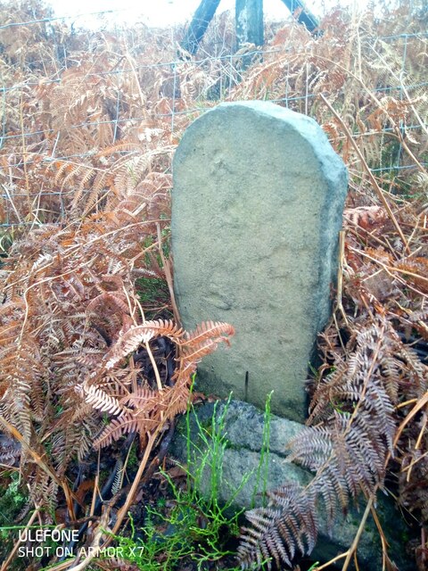
Cock Wood has a rich history, dating back hundreds of years. It was once part of a larger estate and was used for timber production and hunting. Today, remnants of this history can be seen in the form of old stone walls and the occasional abandoned hunting lodge.

The woodland is open to the public year-round, with no admission fee. Visitors are encouraged to respect the natural environment and adhere to any guidelines or signs in place to protect the wildlife and preserve the beauty of Cock Wood for future generations.

If you have any feedback on the listing, please let us know in the comments section below.
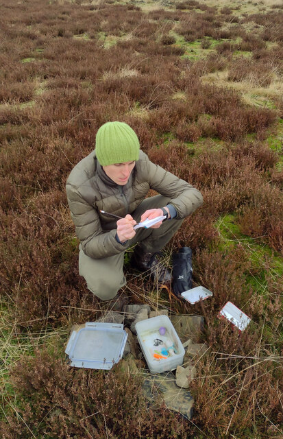
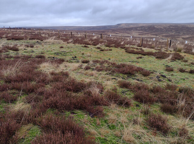
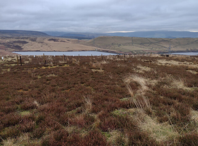
Cock Wood Images

Images are sourced within 2km of 53.48622/-2.0151522 or Grid Reference SJ9998. Thanks to Geograph Open Source API. All images are credited.

In Which Myriad? I've wanted to visit this spot for a while.  It's where the four Myriads SD, SE, SJ and SK meet.  Several people have obviously been here before as there's a geocache here.  We signed the visitor book in the box - the last person to have visited it before us today was on 31st. July 2021!  Pedantically, according to my GPS, the box position was about a metre too far north, but we left it where we found it!
In Which Myriad?
I've wanted to visit this spot for a while. It's where the four Myriads SD, SE, SJ and SK meet. Several people have obviously been here before as there's a geocache here. We signed the visitor book in the box - the last person to have visited it before us today was on 31st. July 2021! Pedantically, according to my GPS, the box position was about a metre too far north, but we left it where we found it!
SE from its South West Extremity The photo was taken just a couple of metres away from the SD, SE, SJ & SK intersection.  The meeting of the myriads had a geocache box in it and we signed the visitors' record book to prove we'd been there! According to my GPS, the box was a metre too far north on my 21 satellite fix, but of course, that doesn't really matter!  Luckily, the intersection was accessible as, just to the east of here, was a new and substantial wire fence with double barbed wire on its top which would have been impossible to climb over!  There was evidence of a former fence as its burnt wooden posts were still in situ - presumably from a moorland fire.
SE from its South West Extremity
The photo was taken just a couple of metres away from the SD, SE, SJ & SK intersection. The meeting of the myriads had a geocache box in it and we signed the visitors' record book to prove we'd been there! According to my GPS, the box was a metre too far north on my 21 satellite fix, but of course, that doesn't really matter! Luckily, the intersection was accessible as, just to the east of here, was a new and substantial wire fence with double barbed wire on its top which would have been impossible to climb over! There was evidence of a former fence as its burnt wooden posts were still in situ - presumably from a moorland fire.
Cache on Land I've wanted to visit this spot for a while.  It's where the four Myriads SD, SE, SJ and SK meet.  Several people have obviously been here before as there's a geocache here.  We signed the visitor book in the box - the last person to have visited it before us today was on 31st. July 2021!  Pedantically, according to my GPS, the box position was about a metre too far north, but we left it where we found it!
Cache on Land
I've wanted to visit this spot for a while. It's where the four Myriads SD, SE, SJ and SK meet. Several people have obviously been here before as there's a geocache here. We signed the visitor book in the box - the last person to have visited it before us today was on 31st. July 2021! Pedantically, according to my GPS, the box position was about a metre too far north, but we left it where we found it!
Swineshaw Reservoirs Taken from the four Myriads SD, SE, SJ and SK intersection looking over to the south east into the rest of SK.
Swineshaw Reservoirs
Taken from the four Myriads SD, SE, SJ and SK intersection looking over to the south east into the rest of SK.
Moorland from the Myriad Intersection Taken just a metre into SD's extreme SE corner.  Not a particularly interesting feature, but an achievement to get here!!
Moorland from the Myriad Intersection
Taken just a metre into SD's extreme SE corner. Not a particularly interesting feature, but an achievement to get here!!
Old Boundary Marker on Slatepit Moor Boundary Marker against a wire fence beside Shire Clough on Slatepit Moor, near Carrbrook. On the former boundary of Staley and Tintwistle townships in Mottram parish in Cheshire, both being parishes from 1866. From 1894 Stalybridge parish in Cheshire and Mossley parish in Lancashire. From 1974 entirely in Tameside. Without an inscription its function and date is hard to decide.

Milestone Society National ID: CH_STAMOS01bm
Old Boundary Marker on Slatepit Moor
Boundary Marker against a wire fence beside Shire Clough on Slatepit Moor, near Carrbrook. On the former boundary of Staley and Tintwistle townships in Mottram parish in Cheshire, both being parishes from 1866. From 1894 Stalybridge parish in Cheshire and Mossley parish in Lancashire. From 1974 entirely in Tameside. Without an inscription its function and date is hard to decide. Milestone Society National ID: CH_STAMOS01bm
Lees Hill Footpath along the side of Lees Hill.
Lees Hill
Footpath along the side of Lees Hill.
Quarry Quarry near Lower Swineshaw Reservoir.
Quarry
Quarry near Lower Swineshaw Reservoir.
Lees Hill Looking across Swineshaw Reservoir to field boundaries on Lees Hill.
Lees Hill
Looking across Swineshaw Reservoir to field boundaries on Lees Hill.
Higher Swineshaw Reservoir View looking across Higher Swineshaw Reservoir.
Higher Swineshaw Reservoir
View looking across Higher Swineshaw Reservoir.
Higher Swineshaw Reservoir Trackway on the dam of Higher Swineshaw Reservoir.
Higher Swineshaw Reservoir
Trackway on the dam of Higher Swineshaw Reservoir.
Lees Hill Footpath junction on Lees Hill.
Lees Hill
Footpath junction on Lees Hill.
Lower Swineshaw Reservoir View looking over Lower Swineshaw Reservoir.
Lower Swineshaw Reservoir
View looking over Lower Swineshaw Reservoir.
National Grid Upgrade works to this high voltage power transmission line.
National Grid
Upgrade works to this high voltage power transmission line.
Lower Swineshaw Reservoir The dam at Lower Swineshaw Reservoir.
Lower Swineshaw Reservoir
The dam at Lower Swineshaw Reservoir.
Higher Swineshaw Reservoir The drawdown tower at Higher Swineshaw Reservoir.
Higher Swineshaw Reservoir
The drawdown tower at Higher Swineshaw Reservoir.
Pack Saddle Stile in the wall near Pack Saddle.
Pack Saddle
Stile in the wall near Pack Saddle.
Hall Farm The entrance to Hall Farm.
Hall Farm
The entrance to Hall Farm.
Show me another place!

Cock Wood is located at Grid Ref: SJ9998 (Lat: 53.48622, Lng: -2.0151522)

Unitary Authority: Tameside

Police Authority: Greater Manchester

What 3 Words

///beast.mealtime.zoomed. Near Longdendale, Manchester

Related Wikis

Brushes Reservoir

Brushes Reservoir is the second lowest reservoir of a series of four in the Brushes valley above Stalybridge in Greater Manchester, England. It was built...

Walkerwood Reservoir

Walkerwood Reservoir is a reservoir in the Brushes valley above Stalybridge in Greater Manchester, built in the 19th century to provide a supply of safe...

Stalybridge South (ward)

Stalybridge South is an electoral ward of Tameside, England. It is represented in Westminster by Jonathan Reynolds Labour Co-operative MP for Stalybridge...

Wild Bank

Wild Bank is a hill in Stalybridge, just outside the Peak District National Park. Its western flank rises from the valley of the River Tame to a height...

Harridge Pike

Harridge Pike is a hill situated within the boundaries of Stalybridge, Greater Manchester just outside the Peak District National Park. Its western flank...

Lower Swineshaw Reservoir

Lower Swineshaw Reservoir is the second reservoir from the top of a series of four in the Brushes valley above Stalybridge in Greater Manchester. It was...

Millbrook, Greater Manchester

Millbrook is a village near Stalybridge, northwest England. It is part of the Stalybridge South ward of Tameside metropolitan borough. It also played...

Higher Swineshaw Reservoir

For the reservoirs near Glossop, in Derbyshire, see Upper Swineshaw Reservoir and Swineshaw Reservoir (Derbyshire) Higher Swineshaw Reservoir is the...

Nearby Amenities

Located within 500m of 53.48622,-2.0151522
Barrier: kissing_gate
Lat/Long: 53.4892691/-2.014517
Barrier: horse_stile
Lat/Long: 53.4893769/-2.0146592
Power: pole
Lat/Long: 53.4897408/-2.0110298
Power: pole
Lat/Long: 53.4896513/-2.0125611
Power: pole
Lat/Long: 53.4896503/-2.0135693
Power: pole
Lat/Long: 53.489614/-2.0148108
Power: pole
Lat/Long: 53.4891782/-2.0159395
Power: pole
Lat/Long: 53.4890613/-2.0169039
Power: pole
Lat/Long: 53.4890803/-2.0179692
Power: pole
Lat/Long: 53.4891119/-2.0196167
Power: pole
Lat/Long: 53.4890118/-2.0206343
The data included in this document is from www.openstreetmap.org. The data is made available under ODbL.

Have you been to Cock Wood?

Leave your review of Cock Wood below (or comments, questions and feedback).