Shewel Wood
Wood, Forest in Gloucestershire Cotswold
England
Shewel Wood

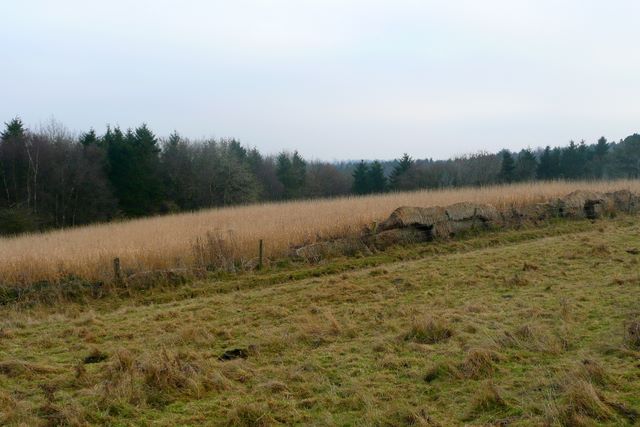
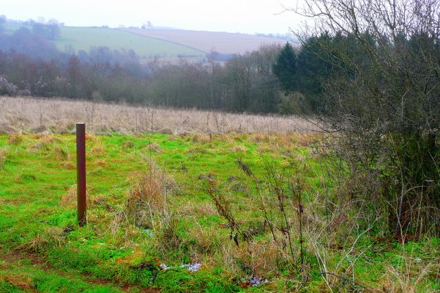
Shewel Wood is a picturesque woodland located in Gloucestershire, England. Covering an area of approximately 100 hectares, it is situated within the larger Forest of Dean, a renowned ancient woodland that spans over 42 square miles. Shewel Wood is nestled in the southwest corner of the Forest, near the village of Whitecroft.
The woodland is predominantly composed of native broadleaf trees, including oak, beech, and birch, creating a diverse and vibrant ecosystem. The dense canopy allows only dappled sunlight to filter through, creating a tranquil and sheltered environment. The forest floor is rich with a variety of flora, such as bluebells, ferns, and wild garlic, adding to the area's natural beauty.
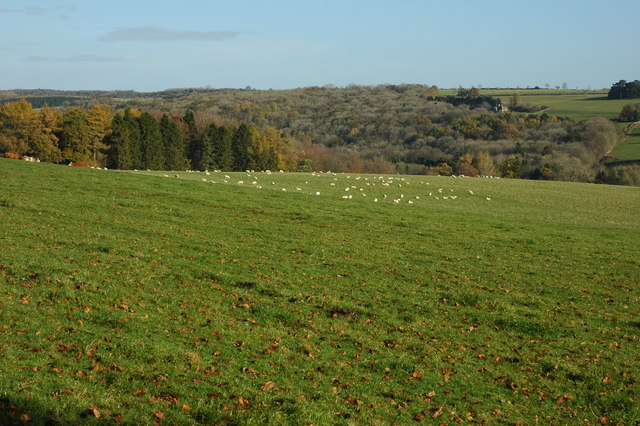
Shewel Wood is home to a wide range of wildlife, including deer, badgers, foxes, and a multitude of bird species. The wood provides an important habitat for these creatures, offering shelter, food, and nesting sites. Birdwatchers can often spot species such as woodpeckers, tawny owls, and buzzards in the area.
The woodland is crisscrossed by a network of footpaths, offering visitors the opportunity to explore and immerse themselves in the natural surroundings. These trails provide access to stunning viewpoints, allowing visitors to admire the breathtaking panoramic views of the surrounding countryside.
Shewel Wood is a haven for nature enthusiasts, walkers, and photographers, who can capture the beauty of this ancient woodland throughout the changing seasons. The serenity and tranquility of Shewel Wood make it a popular destination for those seeking a peaceful escape from the hustle and bustle of everyday life.
If you have any feedback on the listing, please let us know in the comments section below.
Shewel Wood Images
Images are sourced within 2km of 51.796712/-2.0150624 or Grid Reference SO9910. Thanks to Geograph Open Source API. All images are credited.


Shewel Wood is located at Grid Ref: SO9910 (Lat: 51.796712, Lng: -2.0150624)
Administrative County: Gloucestershire
District: Cotswold
Police Authority: Gloucestershire
What 3 Words
///delusions.gourmet.official. Near Stratton, Gloucestershire
Nearby Locations
Related Wikis

Cotswold Hills Geopark
A swathe of the Cotswold Hills almost 60 miles long has been proposed as the Cotswold Hills Geopark. The Geopark project offers educational resources on...
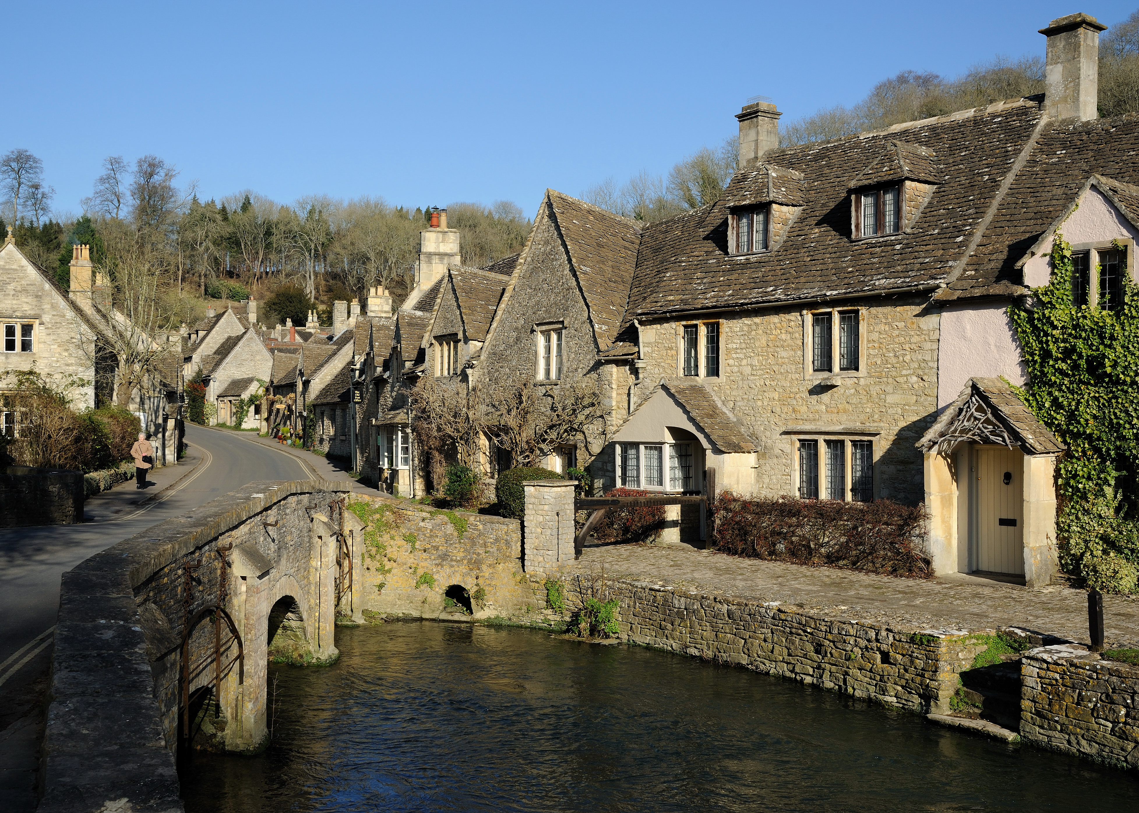
Cotswolds
The Cotswolds ( KOTS-wohldz, KOTS-wəldz) is a region in central-southwest England, along a range of rolling hills that rise from the meadows of the upper...

Five Mile House, Duntisbourne Abbots
The Five Mile House is a former pub on Old Gloucester Road, Duntisbourne Abbots, Gloucestershire, England. It was built in the 17th century and is grade...
Colesbourne
Colesbourne is a village and civil parish in the Cotswold district of Gloucestershire, England. The village and parish lies within the Cotswolds, a designated...

Woodmancote, Cirencester
Woodmancote is a Cotswolds village near Cirencester, Gloucestershire, England. The village lies just off the A435. The village is 0.2 square miles (52...

Elkstone
Elkstone is a village and civil parish in the English county of Gloucestershire. In the 2001 United Kingdom census, the parish had a population of 203...

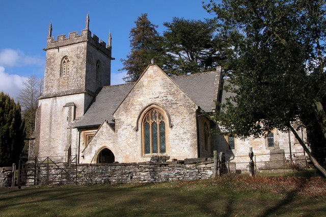
Church of St John the Evangelist, Elkstone
The Anglican Church of St John the Evangelist at Elkstone in the Cotswold District of Gloucestershire, England was built in the 12th century. It is a grade...

Cockleford Marsh
Cockleford Marsh (grid reference SO977133) is a 3.2-hectare (7.9-acre) biological Site of Special Scientific Interest in Gloucestershire, notified in 1991...
Nearby Amenities
Located within 500m of 51.796712,-2.0150624Have you been to Shewel Wood?
Leave your review of Shewel Wood below (or comments, questions and feedback).