Rempstone Heath

Wood, Forest in Dorset

England

Rempstone Heath

Junction at Newton Heath The path on the right is part of the Poole Harbour Trail, the one on the left is a dismantled tramway and cycle route/bridleway.
Junction at Newton Heath Credit: Becky Williamson

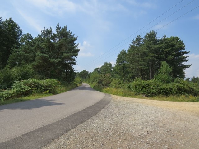
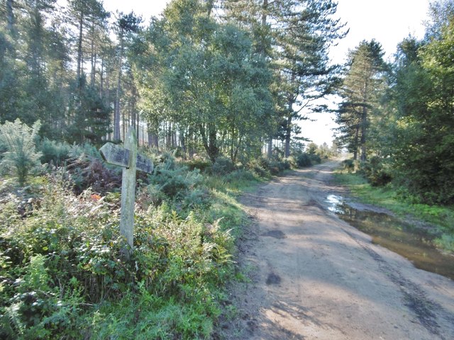
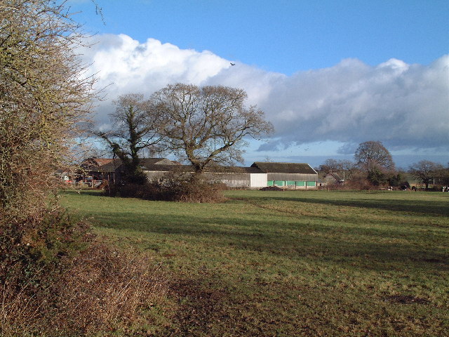
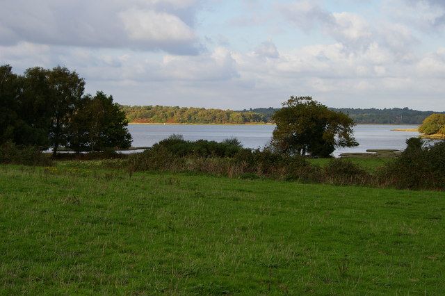
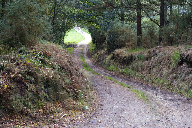
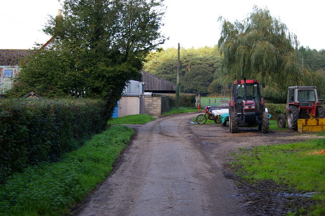
Rempstone Heath is a beautiful and expansive wood located in Dorset, England. Covering an area of approximately 300 acres, it is a haven for nature enthusiasts and those seeking tranquility amidst the stunning natural surroundings. The heath is situated near the village of Rempstone and is easily accessible by foot or by car.

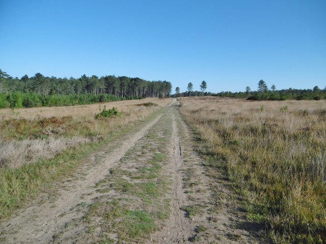
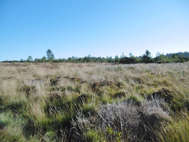
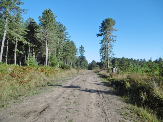
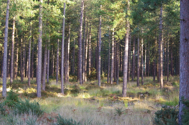
This wood is home to a diverse range of flora and fauna, making it an important site for conservation and biodiversity. The dominant tree species found here include oak, birch, and pine, creating a dense and lush forest canopy that provides shelter and sustenance for various wildlife species. Visitors to Rempstone Heath can expect to encounter a wide array of bird species, including woodpeckers, warblers, and owls, as well as small mammals such as deer, foxes, and rabbits.

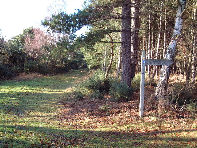
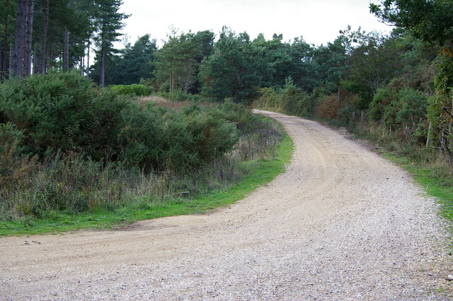
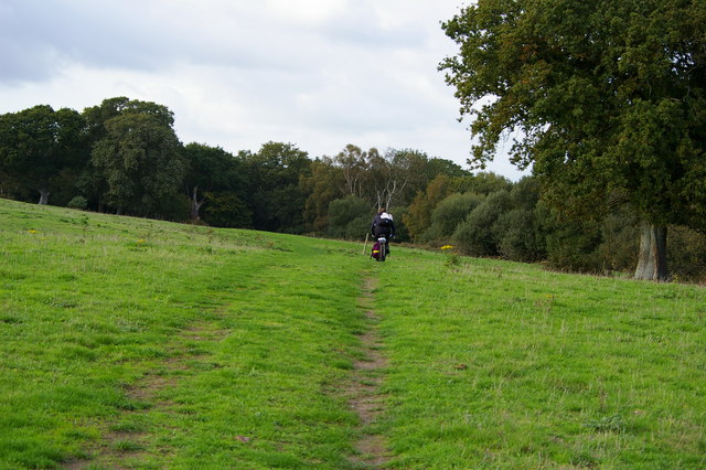
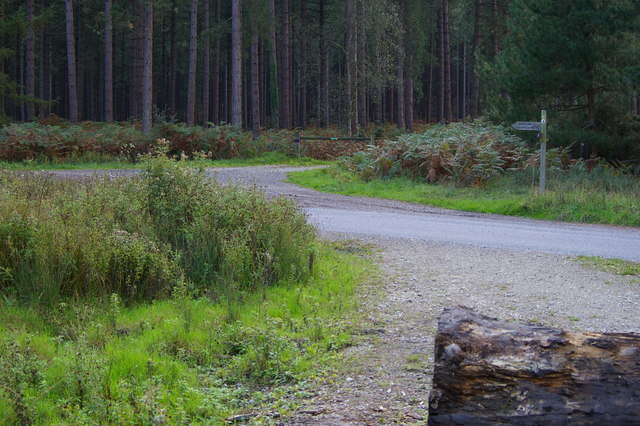
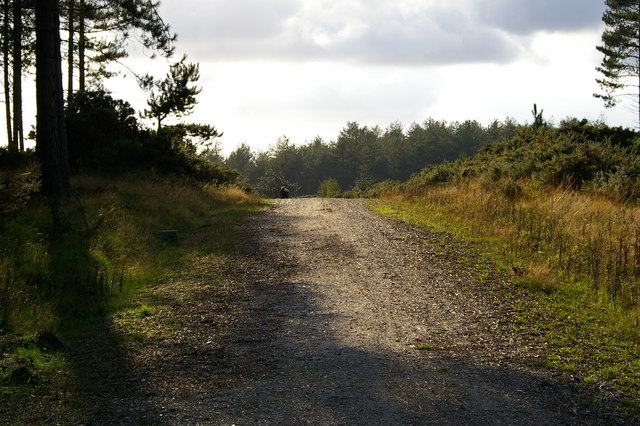
The heath is crisscrossed by a network of well-maintained footpaths, allowing visitors to explore its natural wonders at their own pace. These paths lead to picturesque viewpoints, where one can enjoy panoramic vistas of the surrounding countryside. Additionally, there are designated picnic areas and benches dotted throughout the wood, providing the perfect opportunity to relax and soak in the peaceful atmosphere.

Rempstone Heath is also of historical significance, with remnants of old settlements and archaeological sites scattered throughout the area. These remnants offer a glimpse into the past and add an intriguing layer to the wood's allure.

Overall, Rempstone Heath is a captivating and enchanting wood, offering a sanctuary for wildlife, a retreat for nature lovers, and a place of serenity for all who visit.

If you have any feedback on the listing, please let us know in the comments section below.

Rempstone Heath Images

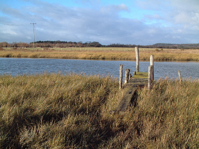
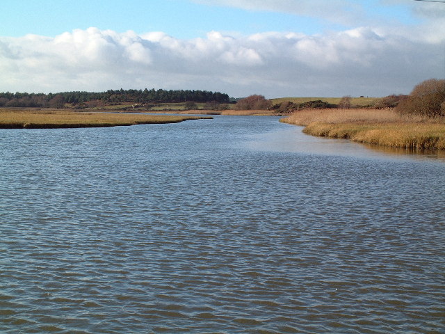
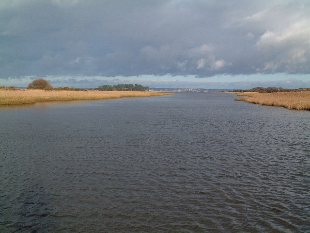
Images are sourced within 2km of 50.661279/-2.0170949 or Grid Reference SY9884. Thanks to Geograph Open Source API. All images are credited.

Junction at Newton Heath The path on the right is part of the Poole Harbour Trail, the one on the left is a dismantled tramway and cycle route/bridleway.
Junction at Newton Heath
The path on the right is part of the Poole Harbour Trail, the one on the left is a dismantled tramway and cycle route/bridleway.
Kingswood Heath, bridleway From Kingswood Farm Cottage to Ower.
Kingswood Heath, bridleway
From Kingswood Farm Cottage to Ower.
Kingswood Heath A sombre scene, now that heather has gone over.
Kingswood Heath
A sombre scene, now that heather has gone over.
Kingswood Heath, bridleway From Kingswood Farm Cottage to Ower.
Kingswood Heath, bridleway
From Kingswood Farm Cottage to Ower.
Newton Heath, signpost On the bridleway from Ower to Kingswood Farm.
Newton Heath, signpost
On the bridleway from Ower to Kingswood Farm.
Wytch Lake Jetty There are relatively few points of access to the southern (quiet) half of Poole Harbour. This is mainly because the harbour on this side is fractured into a series of inlets which have marshy banks. One access point however is just north of Wytch Farm, this jetty being reached across a reed bed at the end of a track. This arm of the sea, which is fed by the Corfe River, is known as Wytch Lake.
Wytch Lake Jetty
There are relatively few points of access to the southern (quiet) half of Poole Harbour. This is mainly because the harbour on this side is fractured into a series of inlets which have marshy banks. One access point however is just north of Wytch Farm, this jetty being reached across a reed bed at the end of a track. This arm of the sea, which is fed by the Corfe River, is known as Wytch Lake.
Wytch Lake Looking west (ie upstream) at high tide. After about 500 metres this arm of Poole Harbour narrows considerably to the point where it is fed by the Corfe River.
Wytch Lake
Looking west (ie upstream) at high tide. After about 500 metres this arm of Poole Harbour narrows considerably to the point where it is fed by the Corfe River.
Wytch Lake Looking north west towards Poole which can just be made out in the distance.
Wytch Lake
Looking north west towards Poole which can just be made out in the distance.
Wytch Farm This typically rural view belies the fact that this is the farm that has given its name to the largest onshore oilfield in Europe.
Wytch Farm
This typically rural view belies the fact that this is the farm that has given its name to the largest onshore oilfield in Europe.
Wytch Heath The path straight ahead is signed "Scotland" - not the northern part of Britain but a farm where old horse drawn carts and waggons are restored. To the right is Hartland Moor National Nature Reserve.
Wytch Heath
The path straight ahead is signed "Scotland" - not the northern part of Britain but a farm where old horse drawn carts and waggons are restored. To the right is Hartland Moor National Nature Reserve.
Bridleway towards Newton
Bridleway across fields near Newton, Purbeck
The shore of Newton Bay, Poole Harbour Taken from the adjacent bridleway
The shore of Newton Bay, Poole Harbour
Taken from the adjacent bridleway
Junction of bridleways, Rempstone Forest
Forestry plantation, Rempstone Forest Photo taken from the adjacent bridleway
Forestry plantation, Rempstone Forest
Photo taken from the adjacent bridleway
Bridleway over forest road, Rempstone Forest
Bridleway, Rempstone Forest This route crosses the north west corner of the square, from a track through forestry plantations to a road between enclosed fields, near a farm to the north of Bushey.
Bridleway, Rempstone Forest
This route crosses the north west corner of the square, from a track through forestry plantations to a road between enclosed fields, near a farm to the north of Bushey.
Lane and farm north of Bushey
Show me another place!

Rempstone Heath is located at Grid Ref: SY9884 (Lat: 50.661279, Lng: -2.0170949)

Unitary Authority: Dorset

Police Authority: Dorset

What 3 Words

///something.clings.tins. Near Corfe Castle, Dorset

Nearby Locations

Rempstone Heath

Related Wikis

Wessex Basin

The Wessex Basin is a petroleum-bearing geological area located along the southern coast of England and extending into the English Channel. The onshore...
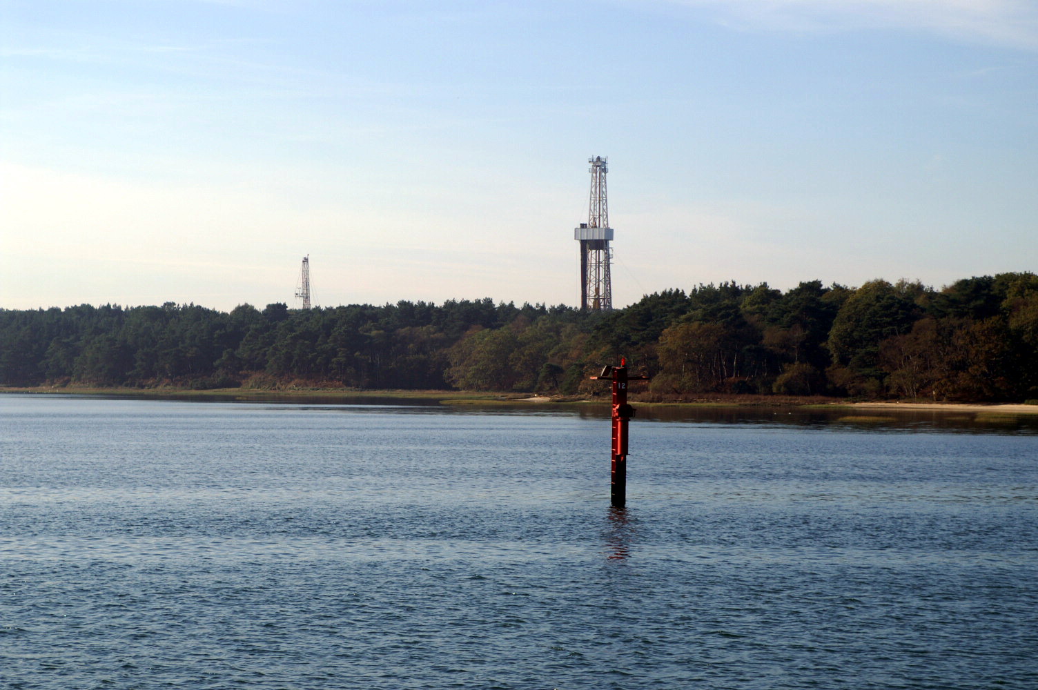
Wytch Farm

Wytch Farm is an oil field and processing facility in the Purbeck district of Dorset, England. It is the largest onshore oil field in Western Europe. The...

Brenscombe Heath

Brenscombe Heath (grid reference SY985829) is a 34.7 hectare biological Site of Special Scientific Interest in Corfe Castle, Dorset, notified in 1985....

Rempstone Stone Circle

Rempstone Stone Circle (grid reference SY994820) is a stone circle located near to Corfe Castle on the Isle of Purbeck in the south-western English county...

Nearby Amenities

Located within 500m of 50.661279,-2.0170949
Rempstone Heath
Place: locality
Source: OS_OpenData_StreetView
Lat/Long: 50.6629879/-2.0175
Barrier: cattle_grid
Lat/Long: 50.6593315/-2.0110189
The data included in this document is from www.openstreetmap.org. The data is made available under ODbL.

Have you been to Rempstone Heath?

Leave your review of Rempstone Heath below (or comments, questions and feedback).