Shardloes Wood
Wood, Forest in Staffordshire Staffordshire Moorlands
England
Shardloes Wood
Shardloes Wood is a picturesque woodland located in the county of Staffordshire, England. Covering an area of approximately 100 acres, it is a popular destination for nature lovers and outdoor enthusiasts alike.
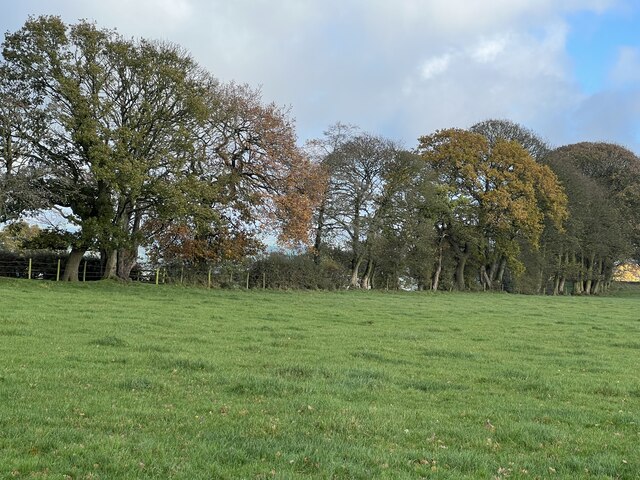
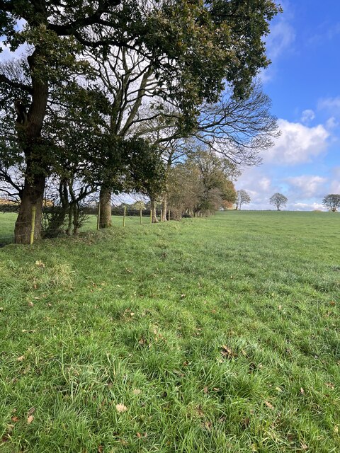
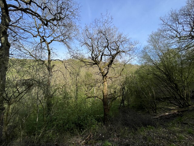
The woodland is characterized by its diverse range of tree species, including oak, beech, birch, and hazel, which create a vibrant and ever-changing landscape throughout the seasons. The dense canopy of trees provides a tranquil and secluded atmosphere, making it an ideal spot for walking, birdwatching, and photography.
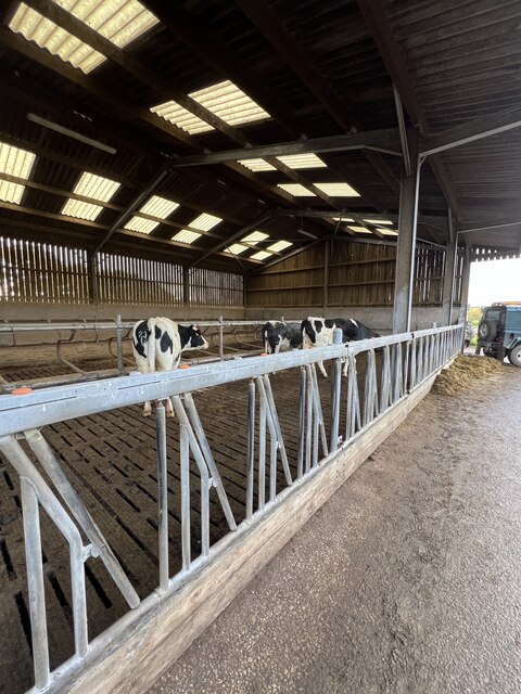
Shardloes Wood is also home to a variety of wildlife, including deer, foxes, badgers, and a rich array of bird species. Bird enthusiasts will have the opportunity to spot woodpeckers, thrushes, and various species of owls, adding to the charm and allure of the woodland.
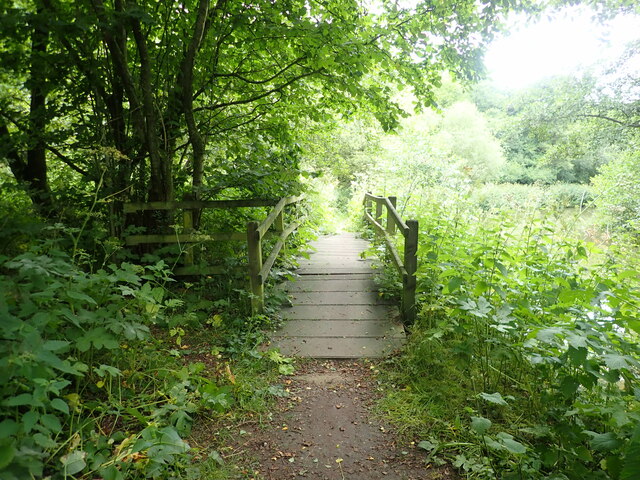
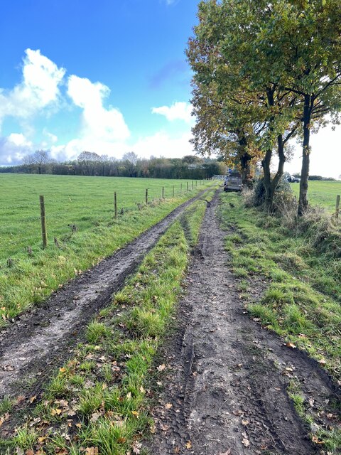
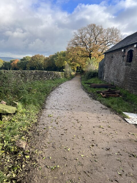
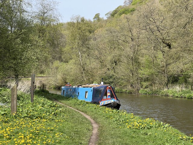
The wood features several well-maintained walking trails, allowing visitors to explore its beauty at their own pace. These paths wind through ancient woodlands, past babbling brooks, and over gentle hills, providing stunning views and a sense of tranquility.
In addition to its natural beauty, Shardloes Wood holds historical significance as well. It is believed to have been a royal hunting ground during medieval times, and remnants of ancient settlements have been discovered within its boundaries.
Overall, Shardloes Wood offers a captivating blend of natural beauty, wildlife, and historical significance. Whether one seeks solace in nature or seeks to delve into the wood's historical past, this enchanting woodland is a must-visit destination in Staffordshire.
If you have any feedback on the listing, please let us know in the comments section below.
Shardloes Wood Images
Images are sourced within 2km of 53.055218/-2.018862 or Grid Reference SJ9850. Thanks to Geograph Open Source API. All images are credited.


Shardloes Wood is located at Grid Ref: SJ9850 (Lat: 53.055218, Lng: -2.018862)
Administrative County: Staffordshire
District: Staffordshire Moorlands
Police Authority: Staffordshire
What 3 Words
///beads.thread.typed. Near Cheddleton, Staffordshire
Nearby Locations
Related Wikis

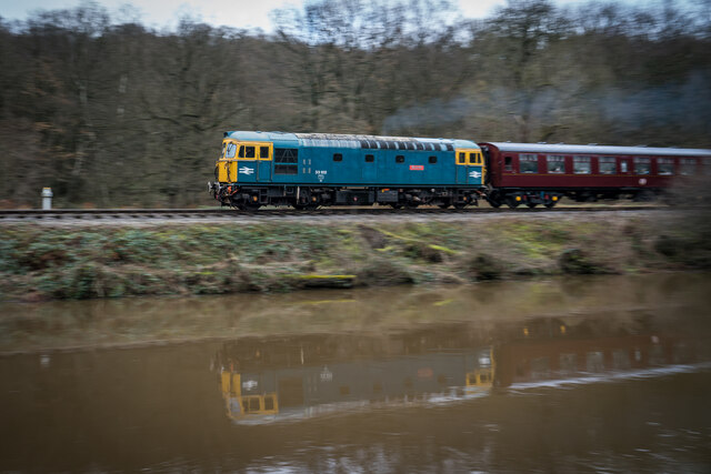
Churnet Valley Railway
The Churnet Valley Railway is a preserved standard gauge heritage railway in the Staffordshire Moorlands of Staffordshire, England. It operates on part...
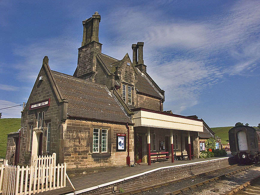
Cheddleton railway station
Cheddleton railway station is a former passenger railway station of the North Staffordshire Railway (NSR) and is now a preserved station on the Churnet...

Ashcombe Park, Staffordshire
Ashcombe Park is a country house and estate near Cheddleton, in Staffordshire, England. The house is a Grade II* listed building, listed on 2 May 1953...

Cheddleton
Cheddleton is an ancient parish and village in the Staffordshire Moorlands, near to the town of Leek, England. == History == The village is divided into...

Consall railway station
Consall railway station is a former passenger railway station of the North Staffordshire Railway (NSR) and is now a preserved station on the Churnet Valley...

Coombes Valley RSPB reserve
Coombes Valley RSPB reserve (grid reference SK005525) is a nature reserve, run by the RSPB, near the town of Leek in Staffordshire, England. It is best...

Cheddleton Flint Mill
Cheddleton Flint Mill is a water mill situated in the village of Cheddleton in the English county of Staffordshire. The mill race takes water from the...

Consall
Consall is a small village situated in the Staffordshire Moorlands, Staffordshire, England. It is approximately 6 miles south of the market town of Leek...
Nearby Amenities
Located within 500m of 53.055218,-2.018862Have you been to Shardloes Wood?
Leave your review of Shardloes Wood below (or comments, questions and feedback).