Four Acre Plantation

Wood, Forest in Gloucestershire Cotswold

England

Four Acre Plantation

Trewsbury Road towards Coates The gates to the very grand Trewsbury Farm are to the left.
Trewsbury Road towards Coates Credit: Robin Webster

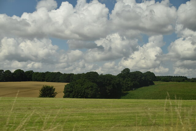
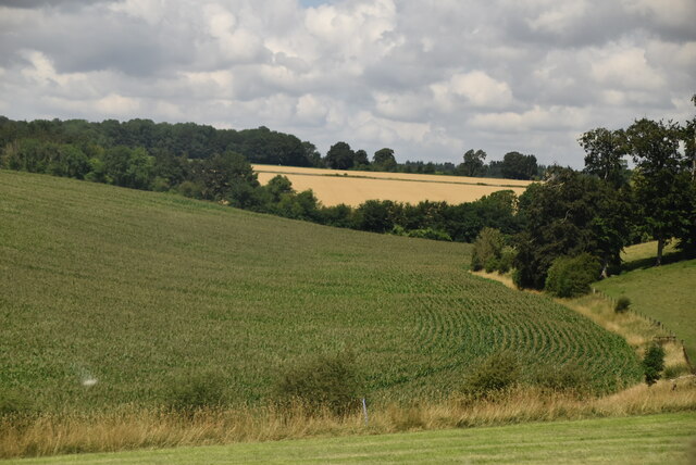
Four Acre Plantation is a scenic woodland located in the county of Gloucestershire, England. Situated near the town of Wood, within the larger Forest of Dean, this plantation spans a total area of four acres, hence its name. It is known for its lush greenery and diverse flora that make it a popular destination for nature enthusiasts and hikers.

The plantation is characterized by a mixture of broadleaf and coniferous trees, creating a unique and picturesque landscape. Oak, beech, and birch trees are prevalent in the area, providing a rich habitat for a variety of wildlife. The forest floor is adorned with a carpet of ferns, wildflowers, and mosses, adding to the enchanting atmosphere.

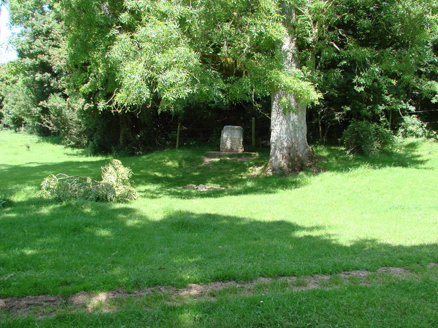
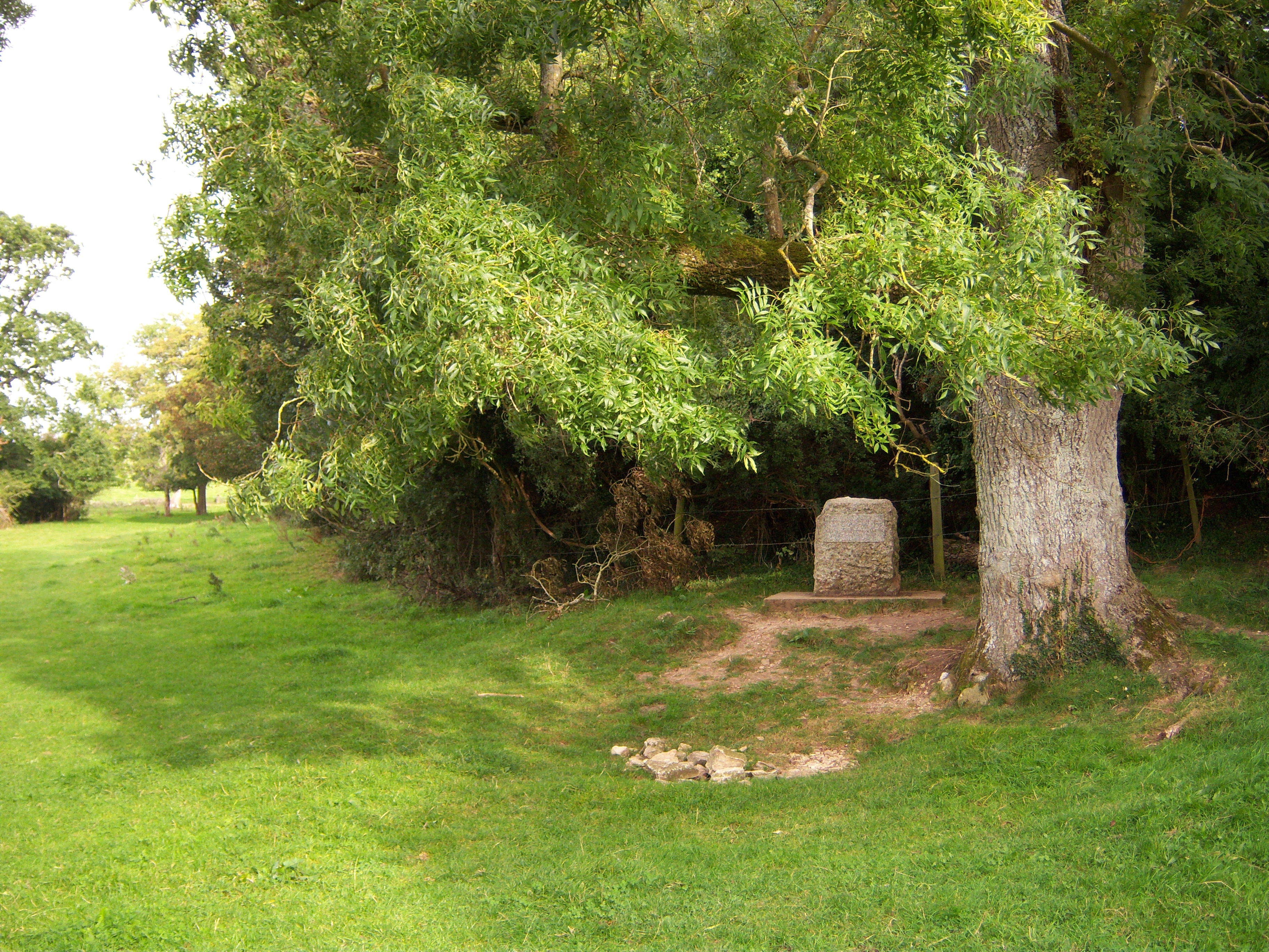
Visitors to Four Acre Plantation can enjoy a tranquil environment away from the hustle and bustle of urban life. The woodland offers several walking trails that wind through its dense foliage, providing opportunities for exploration and relaxation. Along these paths, one can discover hidden streams, small cascades, and charming picnic spots, perfect for a leisurely day out with family or friends.

The plantation is also a haven for birdwatchers, with numerous species of birds calling it their home. From the melodious song of the blackbird to the elusive call of the tawny owl, there is always something to delight the avid bird lover.

Overall, Four Acre Plantation is a captivating woodland that showcases the natural beauty of Gloucestershire. With its diverse flora and fauna, it offers visitors a chance to immerse themselves in the tranquility and serenity of nature.

If you have any feedback on the listing, please let us know in the comments section below.

Four Acre Plantation Images

Images are sourced within 2km of 51.707007/-2.0212115 or Grid Reference SO9800. Thanks to Geograph Open Source API. All images are credited.

Trewsbury Road towards Coates The gates to the very grand Trewsbury Farm are to the left.
Trewsbury Road towards Coates
The gates to the very grand Trewsbury Farm are to the left.
Stone Stile, Kemble Actually at Thames Head, or opposite the nearest access to the source of the Thames from the A433. On Gloucestershire footpath BKE7 (part of the Thames & Severn Way) Looking NE to the road, the view down is <a href="https://www.geograph.org.uk/photo/7300122">ST9898 : Stone Stile, Kemble</a>.
Stone Stile, Kemble
Actually at Thames Head, or opposite the nearest access to the source of the Thames from the A433. On Gloucestershire footpath BKE7 (part of the Thames & Severn Way) Looking NE to the road, the view down is ST9898 : Stone Stile, Kemble.
Stone Stile, Kemble Actually at Thames Head, or opposite the nearest access to the source of the Thames from the A433. On Gloucestershire footpath BKE7 (part of the Thames & Severn Way) Looking NE to the road, the view down is <a href="https://www.geograph.org.uk/photo/7300121">ST9898 : Stone Stile, Kemble</a>.
Stone Stile, Kemble
Actually at Thames Head, or opposite the nearest access to the source of the Thames from the A433. On Gloucestershire footpath BKE7 (part of the Thames & Severn Way) Looking NE to the road, the view down is ST9898 : Stone Stile, Kemble.
Rolling farmland
Rolling farmland
Arable crops by A429
Flooded River Thames at Thames Head On this day the river's source is off into the distance. There were several flood alerts in the area on this day
Flooded River Thames at Thames Head
On this day the river's source is off into the distance. There were several flood alerts in the area on this day
River Thames above Thames Head It was so wet that the source of the river was a few hundred metres upstream from Thames Head - in the flooded field you can see. There was a noticeable flow in the direction of the official source.
River Thames above Thames Head
It was so wet that the source of the river was a few hundred metres upstream from Thames Head - in the flooded field you can see. There was a noticeable flow in the direction of the official source.
Upper Thames completely flooding Wysis Way above Thames Head A very wet day following a very wet few days. There were several flood alerts in the area. Thames Head is downstream to the left. There was a noticeable flow in the direction of the official source.
Upper Thames completely flooding Wysis Way above Thames Head
A very wet day following a very wet few days. There were several flood alerts in the area. Thames Head is downstream to the left. There was a noticeable flow in the direction of the official source.
Flooded very upper reaches of River Thames Boots very necessary on this day. I have walked through this field when it is bone dry. There were several flood alerts in the area. Looking downstream.
Flooded very upper reaches of River Thames
Boots very necessary on this day. I have walked through this field when it is bone dry. There were several flood alerts in the area. Looking downstream.
Flooded very upper reaches of River Thames Looking upstream at the very upper reaches of the River Thames. I have been through here when it is completely dry. There were several flood alerts in the area.
Flooded very upper reaches of River Thames
Looking upstream at the very upper reaches of the River Thames. I have been through here when it is completely dry. There were several flood alerts in the area.
Source of the Thames The Thames rises in the Cotswolds at Trewsbury Mead, 108.5 metres (356 feet) above sea level, though you have to use your imagination to a fair degree as for most of the year there is no sign of water.

The source is marked by a solitary stone with the inscription:


The Conservation of the River Thames
1857 -1974
This Stone was Placed Here to Mark the 
Source of the River Thames
Source of the Thames
The Thames rises in the Cotswolds at Trewsbury Mead, 108.5 metres (356 feet) above sea level, though you have to use your imagination to a fair degree as for most of the year there is no sign of water. The source is marked by a solitary stone with the inscription: The Conservation of the River Thames 1857 -1974 This Stone was Placed Here to Mark the Source of the River Thames
Rape Field by the C road from the A433 to Smerrill Farm
Rape Field
by the C road from the A433 to Smerrill Farm
First water from the source of the Thames This is near the stone marking the official source of the Thames.. but the first location where water can be detected, even in dry spells.  The abandoned harvester adds a feeling of the closeness of nature.
First water from the source of the Thames
This is near the stone marking the official source of the Thames.. but the first location where water can be detected, even in dry spells. The abandoned harvester adds a feeling of the closeness of nature.
The path from the Fosse to the Source of the Thames The bike ride along the Thames pathway was about to begin
The path from the Fosse to the Source of the Thames
The bike ride along the Thames pathway was about to begin
Trewsbury House Screened by trees, on an elevated position, inside the boundaries of an iron-age fort.
Trewsbury House
Screened by trees, on an elevated position, inside the boundaries of an iron-age fort.
The source of the Thames Bone dry in early September
The source of the Thames
Bone dry in early September
Hidden source of a great river
Stone marking the source of the River Thames Looking to the west
Stone marking the source of the River Thames
Looking to the west
Show me another place!

Four Acre Plantation is located at Grid Ref: SO9800 (Lat: 51.707007, Lng: -2.0212115)

Administrative County: Gloucestershire

District: Cotswold

Police Authority: Gloucestershire

What 3 Words

///message.bulky.struggle. Near Coates, Gloucestershire

Related Wikis

Coates, Gloucestershire

Coates is a village and civil parish situated in Cotswold District, Gloucestershire, England. It is around 3 miles (4.8 km) west of Cirencester and close...

A419 road

The A419 road is a primary route between Chiseldon near Swindon at junction 15 of the M4 with the A346 road, and Whitminster in Gloucestershire, England...

Thames Head

Thames Head is a group of seasonal springs that arise near the village of Coates in the Cotswolds, about three miles south-west of the town of Cirencester...

Tetbury Road railway station

Tetbury Road railway station was built by the Cheltenham & Great Western Union Railway to serve the Gloucestershire villages of Kemble and Coates, and...

Cirencester Deer Park School

Cirencester Deer Park School is a secondary school Park. == History == Founded in 1966, the school combined Cirencester Grammar School with the town's...

Cirencester College

Cirencester College is a sixth form college based in the town of Cirencester in the South Cotswolds. It is a specialist sixth form provider serving communities...

Alfred's Hall

Alfred's Hall is a ruined folly in Cirencester Park, Gloucestershire, England. The Grade II* listed building dates from 1721 and is "probably the first...

Kemble, Gloucestershire

Kemble is a village in the civil parish of Kemble and Ewen, in the Cotswold district of Gloucestershire, England. Historically part of Wiltshire, it lies...

Have you been to Four Acre Plantation?

Leave your review of Four Acre Plantation below (or comments, questions and feedback).