Crowgate Street

Settlement in Norfolk North Norfolk

England

Crowgate Street

St Mary's Parish Church, Tunstead St Mary's Parish Church, Tunstead, Norfolk : View from Church Street.

Source: <span class="nowrap"><a title="http://tunsteadpc.norfolkparishes.gov.uk/st-marys-church/" rel="nofollow ugc noopener" href="http://tunsteadpc.norfolkparishes.gov.uk/st-marys-church/">Link</a><img style="margin-left:2px;" alt="External link" title="External link - shift click to open in new window" src="https://s1.geograph.org.uk/img/external.png" width="10" height="10"/></span>
St Mary's Parish Church, Tunstead Credit: Terry Gray

Crowgate Street is a historic street located in the market town of Norfolk, England. Situated in the heart of the town, it is a bustling and vibrant area that offers a glimpse into the region's rich history.

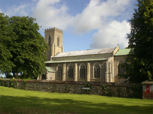
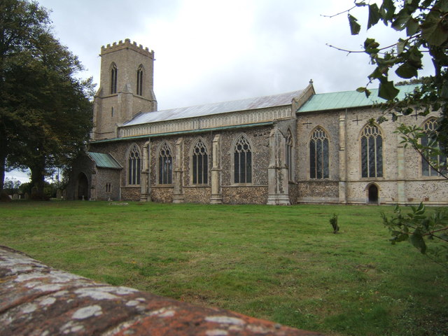
Lined with charming traditional buildings, Crowgate Street exudes a quintessential English charm. The architecture showcases a mix of styles, including Tudor, Georgian, and Victorian, reflecting the street's long-standing presence in the town. Many of the buildings have been well-preserved and are now home to a variety of independent shops, boutiques, cafes, and restaurants.

The street has a lively atmosphere, particularly on market days when local vendors set up stalls selling fresh produce, crafts, and other goods. This makes Crowgate Street a popular destination for locals and tourists alike, who come to soak up the vibrant atmosphere and browse the unique offerings.

In addition to its commercial appeal, Crowgate Street also holds historical significance. It is believed to have been a key route in the town during medieval times, connecting the market square to the main thoroughfare. This historical importance is evident in the street's name, which derives from the Old English word "crowe," meaning crossroads.

Overall, Crowgate Street is a charming and historically significant street in Norfolk. Its blend of architectural styles, thriving local businesses, and vibrant atmosphere make it a must-visit destination for those seeking a taste of traditional English charm and a glimpse into the region's past.

If you have any feedback on the listing, please let us know in the comments section below.

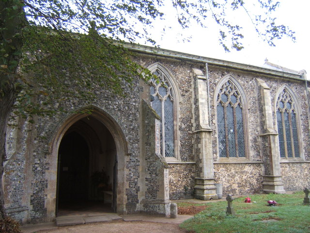
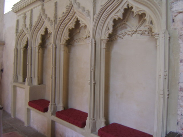
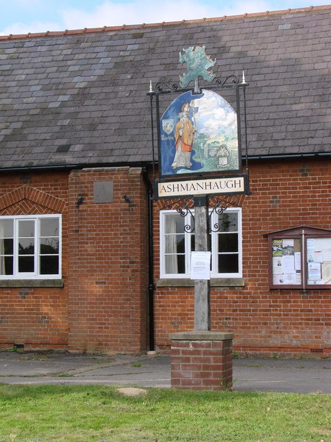
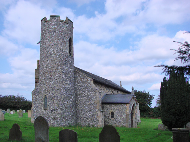
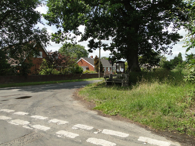
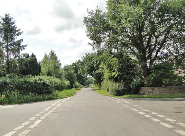
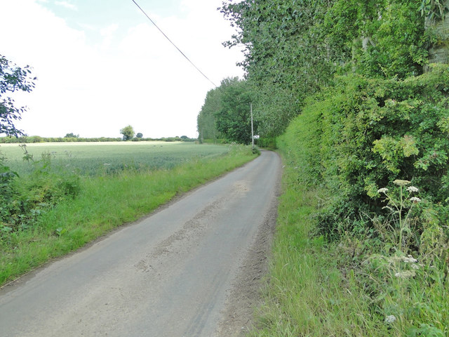
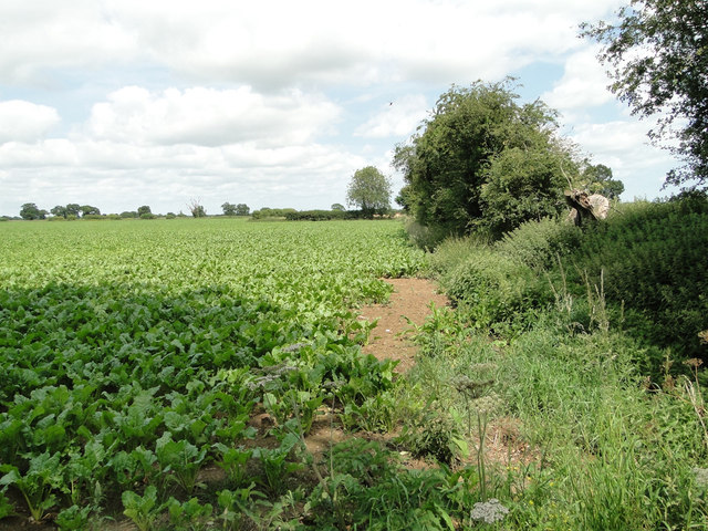
Crowgate Street Images

Images are sourced within 2km of 52.740311/1.421015 or Grid Reference TG3121. Thanks to Geograph Open Source API. All images are credited.

St Mary's Parish Church, Tunstead St Mary's Parish Church, Tunstead, Norfolk : View from Church Street.

Source: <span class="nowrap"><a title="http://tunsteadpc.norfolkparishes.gov.uk/st-marys-church/" rel="nofollow ugc noopener" href="http://tunsteadpc.norfolkparishes.gov.uk/st-marys-church/">Link</a><img style="margin-left:2px;" alt="External link" title="External link - shift click to open in new window" src="https://s1.geograph.org.uk/img/external.png" width="10" height="10"/></span>
St Mary's Parish Church, Tunstead
St Mary's Parish Church, Tunstead, Norfolk : View from Church Street. Source: LinkExternal link
Church of St Mary the Virgin, Tunstead
Victorian post-box The ivy is growing! - compare <a href="https://www.geograph.org.uk/photo/1060488">TG3022 : Victorian postbox</a>.
Victorian post-box
The ivy is growing! - compare TG3022 : Victorian postbox.
Harvest at St Mary's, Tunstead The font decorated with the abundance of the harvest-time.
Harvest at St Mary's, Tunstead
The font decorated with the abundance of the harvest-time.
Entrance to St Mary's, Tunstead Porch of St Mary's Church.
Entrance to St Mary's, Tunstead
Porch of St Mary's Church.
Triple sedilia and piscina, St Mary's Church To the south side of the altar in St Mary's Church, Tunstead.
Triple sedilia and piscina, St Mary's Church
To the south side of the altar in St Mary's Church, Tunstead.
Ashmanhaugh village sign Detail <a title="https://www.geograph.org.uk/photo/6678214" href="https://www.geograph.org.uk/photo/6678214">Link</a>
Ashmanhaugh village sign
Detail Link
Ashmanhaugh St. Swithin's church From the west showing the small diameter tower; only six feet internally.
Ashmanhaugh St. Swithin's church
From the west showing the small diameter tower; only six feet internally.
A seat and notice board under a tree
Stone Lane, Ashmanhaugh
Un-named road leading to Smallburgh, east of Tunstall
Sugarbeet crop at Tunstall
The  old village school and Ashmanhaugh village sign The old school is now called Preston Room and is available for hire by the local community. <a title="https://www.geograph.org.uk/photo/6678214" href="https://www.geograph.org.uk/photo/6678214">Link</a>
The old village school and Ashmanhaugh village sign
The old school is now called Preston Room and is available for hire by the local community. Link
Strawberry picking at one of the county's largest fruit growers
Passing Places on a narrow country road .... near Shoulder of Mutton Plantation
Passing Places on a narrow country road
.... near Shoulder of Mutton Plantation
Tunstead War Memorial The Memorial which stands in the churchyard bears 16 names of men who failed to return to the village at the end of WW1. There are no recorded losses in WW2.
Tunstead War Memorial
The Memorial which stands in the churchyard bears 16 names of men who failed to return to the village at the end of WW1. There are no recorded losses in WW2.
Ashmanhaugh World War One Memorial As can be seen, the Memorial tablet bears four names.
There is no record of any WW2 losses.
Ashmanhaugh World War One Memorial
As can be seen, the Memorial tablet bears four names. There is no record of any WW2 losses.
Show me another place!

Crowgate Street is located at Grid Ref: TG3121 (Lat: 52.740311, Lng: 1.421015)

Administrative County: Norfolk

District: North Norfolk

Police Authority: Norfolk

What 3 Words

///observer.carver.bulldozer. Near Hoveton, Norfolk

Nearby Locations

Crowgate Street

Related Wikis

Ashmanhaugh

Ashmanhaugh is a village and civil parish in the English county of Norfolk, situated some 20 km north east of Norwich. See Inside the churches of St Swithins...

Hoveton Hall

Hoveton Hall in the parish of Hoveton in Norfolk is a Regency-style country house made of gault brick with a slate roof. It was built between 1809 and...

Tunstead, Norfolk

Tunstead is a village and a civil parish in the English county of Norfolk. The village is 10.7 miles north north east of the city of Norwich, 15 miles...

Anchor Street

Anchor Street is a village in Norfolk, England.

Broadland High Ormiston Academy

Broadland High Ormiston Academy is a rural mixed academy in Hoveton, Norfolk for pupils aged 11 to 16. As of August 1, 2018, the school joined Ormiston...
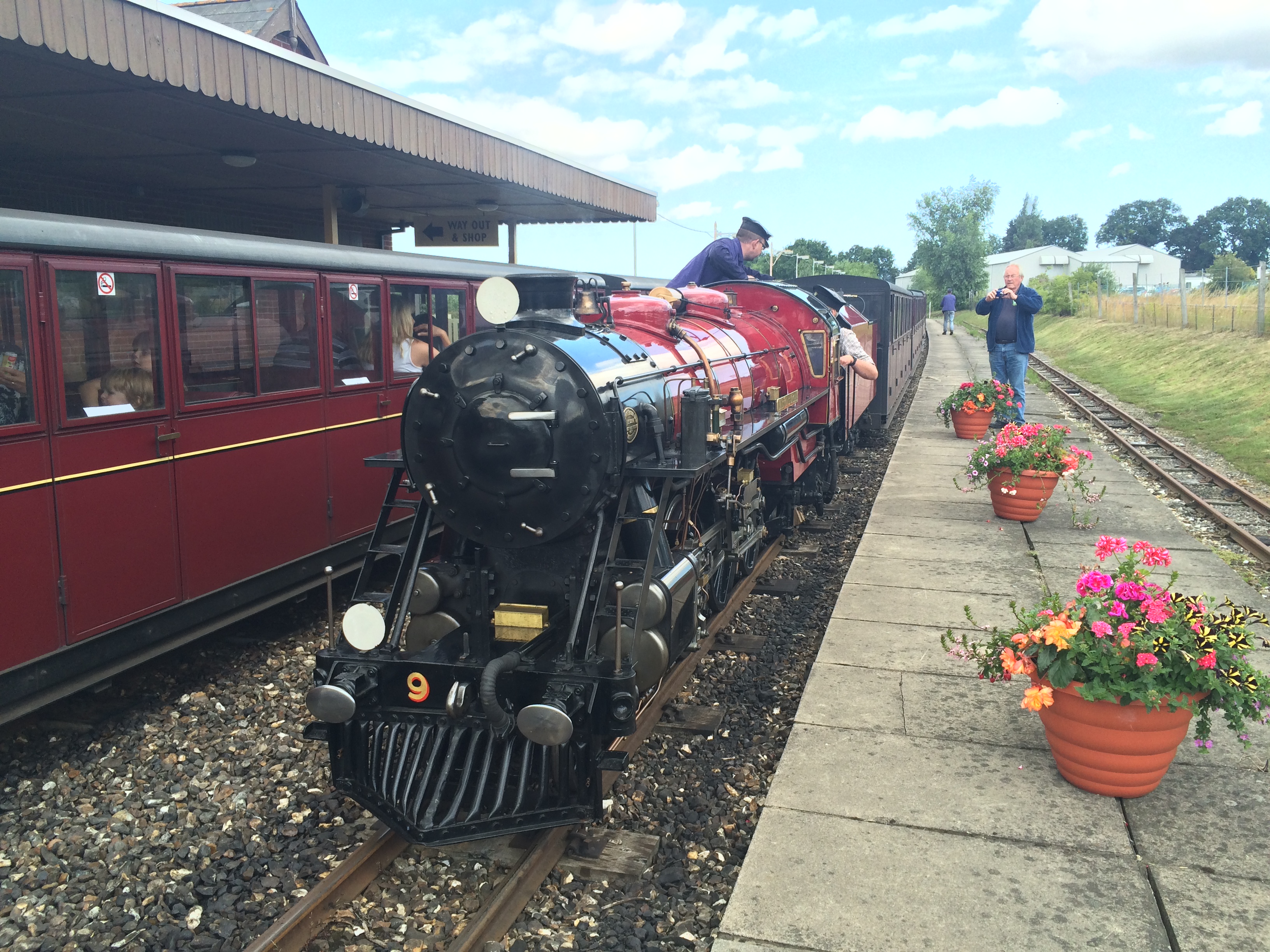
Bure Valley Railway

The Bure Valley Railway is a 15 in (381 mm) minimum gauge visitors' attraction in Norfolk, England. It was created on the original disused full-gauge bed...

Wroxham railway station

Wroxham railway station is located near the villages of Wroxham and Hoveton in Norfolk, and is the southern terminus of the Bure Valley Railway, a minimum...

Hoveton & Wroxham railway station

Hoveton & Wroxham railway station is on the Bittern Line in Norfolk, England, serving the village of Hoveton and the adjacent village of Wroxham (the two...

Nearby Amenities

Located within 500m of 52.740311,1.421015
Crowgate Street
Place: hamlet
Lat/Long: 52.7419309/1.4202168
Entrance: main
Lat/Long: 52.7384451/1.4270981
Disused Entrance: yes
Lat/Long: 52.7385215/1.4270558
Bench
Backrest: yes
Colour: brown
Inscription: yes
Material: wood
Lat/Long: 52.7384804/1.4272054
The data included in this document is from www.openstreetmap.org. The data is made available under ODbL.

Have you been to Crowgate Street?

Leave your review of Crowgate Street below (or comments, questions and feedback).