Thrunton Wood

Wood, Forest in Northumberland

England

Thrunton Wood

Wooler Cricket Club On Brewery Road.
Wooler Cricket Club Credit: Richard Webb

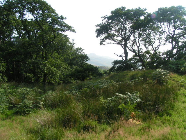
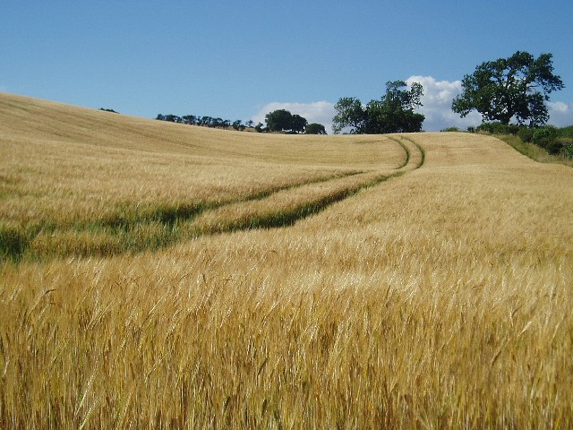
Thrunton Wood is a picturesque forest located in the county of Northumberland, England. Stretching over 1000 acres, it is nestled within the stunning landscape of the Cheviot Hills, offering visitors a tranquil and immersive natural experience.

The wood is predominantly composed of mixed woodland, featuring a diverse range of tree species such as oak, beech, birch, and conifers. These trees create a dense canopy that provides shade and shelter to the various flora and fauna inhabiting the area. The forest floor is adorned with an array of wildflowers, ferns, and mosses, adding to its enchanting beauty.

Thrunton Wood is a haven for wildlife enthusiasts, as it is home to a wide variety of animals and bird species. Visitors may catch glimpses of red squirrels darting among the trees, deer grazing in the clearings, and numerous bird species including woodpeckers, owls, and buzzards. The forest also boasts a rich insect population, with butterflies and dragonflies fluttering around during the warmer months.

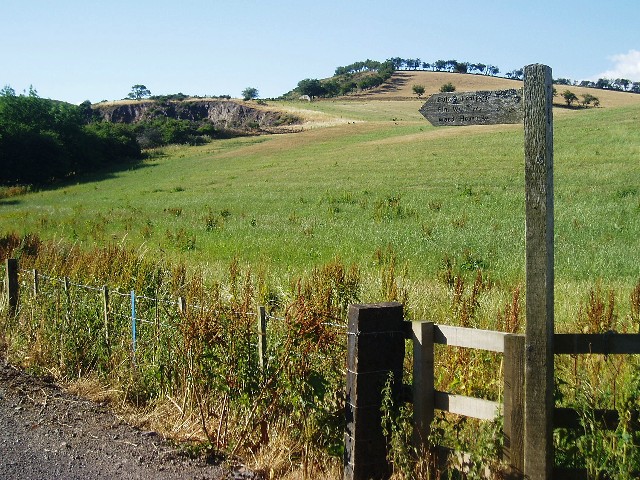
The wood offers a network of well-maintained walking trails, making it an ideal destination for hikers and nature lovers alike. These trails cater to different difficulty levels, ensuring there is something for everyone, from leisurely strolls to more challenging hikes. Along the paths, visitors can discover hidden streams, cascading waterfalls, and breathtaking viewpoints that offer panoramic vistas of the surrounding countryside.

Thrunton Wood is a cherished natural gem in Northumberland, providing an opportunity for visitors to connect with nature, enjoy outdoor activities, and appreciate the beauty of the British woodlands.

If you have any feedback on the listing, please let us know in the comments section below.

Thrunton Wood Images

Images are sourced within 2km of 55.539334/-2.03103 or Grid Reference NT9827. Thanks to Geograph Open Source API. All images are credited.

Wooler Cricket Club On Brewery Road.
Wooler Cricket Club
On Brewery Road.
Wooler Cricket Club Even with the pylons, a scenic ground.
Wooler Cricket Club
Even with the pylons, a scenic ground.
Wooler Cricket Club
Wooler Cricket Club
Old Milepost by the A697, north of Haugh Head, Wooler parish Cast iron post by the A697, in parish of Wooler (Berwick upon Tweed District), North of Haugh Head, on grass verge, on East side of road. MOR/COR iron post, erected by the Percy's Cross to Millfield turnpike trust in the 19th century. 

Inscription reads:-
: MOR / 30 : : L / 317 : : E / 61 : : COR / 14 :
(To Morpeth, London, Edinburgh, Cornhill) 

Grade II listed.
List Entry Number: 1042329 <span class="nowrap"><a title="https://historicengland.org.uk/listing/the-list/list-entry/1042329" rel="nofollow ugc noopener" href="https://historicengland.org.uk/listing/the-list/list-entry/1042329">Link</a><img style="margin-left:2px;" alt="External link" title="External link - shift click to open in new window" src="https://s1.geograph.org.uk/img/external.png" width="10" height="10"/></span>

Milestone Society National ID: NB_MPCH30
Old Milepost by the A697, north of Haugh Head, Wooler parish
Cast iron post by the A697, in parish of Wooler (Berwick upon Tweed District), North of Haugh Head, on grass verge, on East side of road. MOR/COR iron post, erected by the Percy's Cross to Millfield turnpike trust in the 19th century. Inscription reads:- : MOR / 30 : : L / 317 : : E / 61 : : COR / 14 : (To Morpeth, London, Edinburgh, Cornhill) Grade II listed. List Entry Number: 1042329 LinkExternal link Milestone Society National ID: NB_MPCH30
Haugh Head : Toll Cottage Looking towards Toll Cottage off the A697.
Haugh Head : Toll Cottage
Looking towards Toll Cottage off the A697.
Humbleton Hill hill fort The remains of the massive stone ramparts of the hill fort.
Humbleton Hill hill fort
The remains of the massive stone ramparts of the hill fort.
Humbleton Hill hill fort Wooler can be seen in the distance over the ramparts of the hill fort.
Humbleton Hill hill fort
Wooler can be seen in the distance over the ramparts of the hill fort.
Church, Wooler In the north end of Wooler on the road from Humbleton
Church, Wooler
In the north end of Wooler on the road from Humbleton
Shop front, Wooler. Once a filling station.
Shop front, Wooler.
Once a filling station.
Wooler Southern end of the town.
Wooler
Southern end of the town.
In the shelter of The Cheviot Roadside view as you enter the Harthope Valley.
In the shelter of The Cheviot
Roadside view as you enter the Harthope Valley.
Barleyfield near Wooler Field beside a minor road to the south of Wooler
Barleyfield near Wooler
Field beside a minor road to the south of Wooler
Signpost to Waud House Start of the track leading to Waud House, near Wooler.  The disused quarry in the background is just on the northern edge of the square.
Signpost to Waud House
Start of the track leading to Waud House, near Wooler. The disused quarry in the background is just on the northern edge of the square.
Wooler, Northumberland, the Roman Catholic Church of St Ninian
Wooler, Northumberland, St Mary's Church
Wooler Town Centre Time appears to have stood still in this Northumbrian town.
Wooler Town Centre
Time appears to have stood still in this Northumbrian town.
Subsidence at Wooler This row of houses (High Street) were actually in a much worse state than they appear in this photo.
Subsidence at Wooler
This row of houses (High Street) were actually in a much worse state than they appear in this photo.
Walkerwalls This building - originally several cottages now knocked into one - is used as a base for group field trips and the like.  It's used by schools mainly.
Walkerwalls
This building - originally several cottages now knocked into one - is used as a base for group field trips and the like. It's used by schools mainly.
Show me another place!

Thrunton Wood is located at Grid Ref: NT9827 (Lat: 55.539334, Lng: -2.03103)

Unitary Authority: Northumberland

Police Authority: Northumbria

What 3 Words

///legal.seducing.apricot. Near Wooler, Northumberland

Nearby Locations

Thrunton Wood

Related Wikis

Earle, Northumberland

Earle is a village and civil parish in county of Northumberland, England. It has around 20 inhabitants and is about 2 miles (3 km) from Wooler (where from...
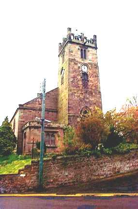
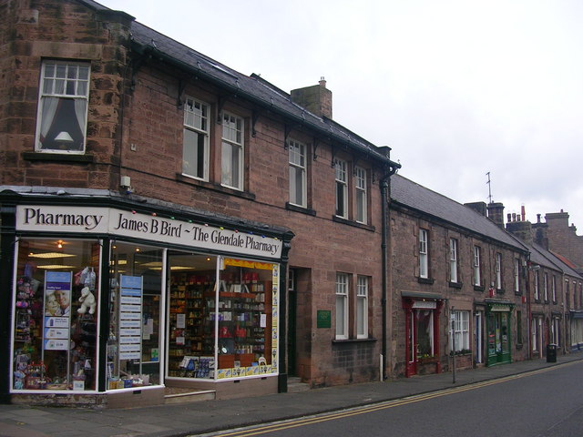
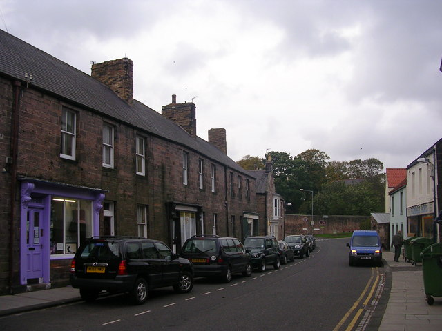
Wooler

Wooler ( WUUL-ə) is a town in Northumberland, England. It lies on the edge of the Northumberland National Park, near the Cheviot Hills. It is a popular...

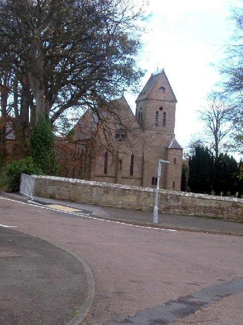
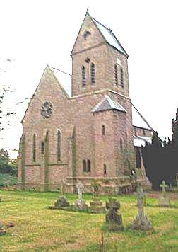
St Ninian's Catholic Church, Wooler

St Ninian’s church is a Catholic place of worship situated on Burnhouse Road in the town of Wooler in Northumberland, England. It is a Grade II listed...

Cheviot Fringe

Cheviot Fringe ( CHEE-vee-ət) is a geographical region and a Natural England designated National Character Area (or NCA) located in the county Northumberland...

Nearby Amenities

Located within 500m of 55.539334,-2.03103
Barrier: cattle_grid
Lat/Long: 55.543341/-2.0302824
Barrier: entrance
Lat/Long: 55.5391335/-2.0381707
King's Chair
Fixme: Confirm exact location
Image: https://www.geograph.org.uk/photo/6424256
Natural: rock
Lat/Long: 55.5377361/-2.0241583
Noexit: yes
Lat/Long: 55.5426098/-2.0256953
Bench
Lat/Long: 55.5392036/-2.0385528
Leisure: picnic_table
Lat/Long: 55.5391969/-2.0379086
Marker: post
Utility: gas
Lat/Long: 55.5432773/-2.0304691
Fixme: Estimated crossover point between forestry track and footway
Lat/Long: 55.5395761/-2.0304081
A Watery World
Board Type: nature
Information: board
Tourism: information
Lat/Long: 55.5407842/-2.0361574
Bench
Backrest: yes
Note: 5 benches
Lat/Long: 55.5403213/-2.0378083
Introducing the Residents
Board Type: nature
Fixme: Confirm exact location
Information: board
Tourism: information
Lat/Long: 55.5402758/-2.0377144
Leisure: picnic_table
Lat/Long: 55.5393925/-2.0376313
Leisure: picnic_table
Lat/Long: 55.5390882/-2.0379518
Hiking: yes
Information: map
Operator: Forestry England
Tourism: information
Lat/Long: 55.5391349/-2.0382676
Kenterdale Hill
Natural: peak
Source Name: OS_OpenData_StreetView
Lat/Long: 55.5370278/-2.0340157
The data included in this document is from www.openstreetmap.org. The data is made available under ODbL.

Have you been to Thrunton Wood?

Leave your review of Thrunton Wood below (or comments, questions and feedback).