Doctor's Coppice
Wood, Forest in Worcestershire Bromsgrove
England
Doctor's Coppice
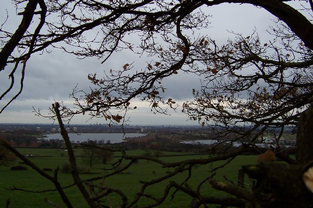
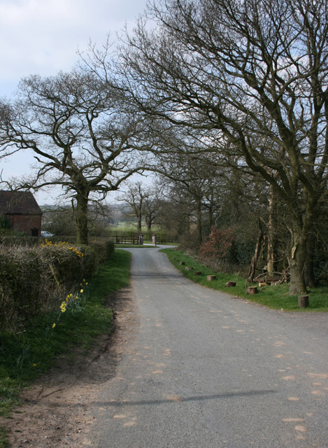
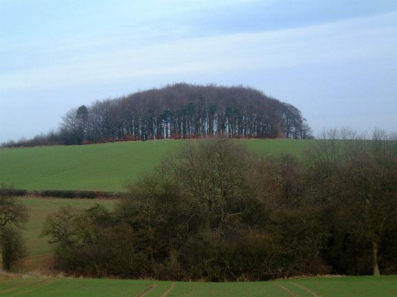
Doctor's Coppice is a woodland area located in the county of Worcestershire, England. Situated near the village of Alvechurch, it covers an area of approximately 30 hectares and is known for its diverse flora and fauna.
The woodland is named after a former owner who was a doctor, and it has been preserved and managed by the Worcestershire Wildlife Trust since 1983. Doctor's Coppice is predominantly composed of deciduous trees, including oak, birch, ash, and beech, which create a rich and varied habitat. The forest floor is abundant with wildflowers such as bluebells, wood anemones, and primroses, creating a vibrant and colorful display during the spring months.
The woodland is home to a wide range of wildlife species, making it an important nature reserve. It provides a habitat for various bird species, including woodpeckers, nuthatches, and tawny owls. Mammals such as badgers, foxes, and deer can also be spotted in the area. Additionally, the woodland is a haven for insects, with butterflies, dragonflies, and beetles thriving in its lush environment.
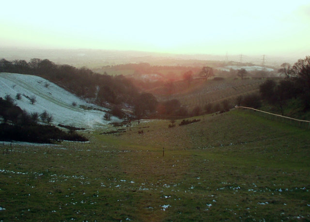
Doctor's Coppice offers opportunities for nature enthusiasts and walkers to explore its beauty and tranquility. It features well-maintained footpaths that wind through the forest, providing access to its different areas and allowing visitors to appreciate its natural wonders. The woodland also has a picnic area, providing a perfect spot for visitors to relax and enjoy the peaceful surroundings.
Overall, Doctor's Coppice in Worcestershire is a remarkable woodland area, offering a haven for wildlife and a serene escape for those seeking to connect with nature.
If you have any feedback on the listing, please let us know in the comments section below.
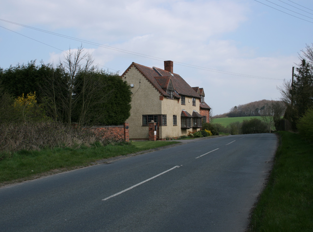
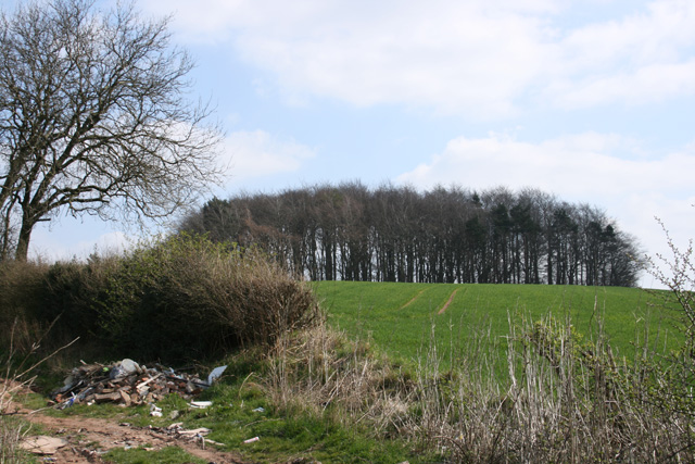
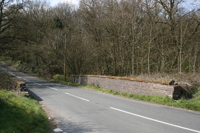
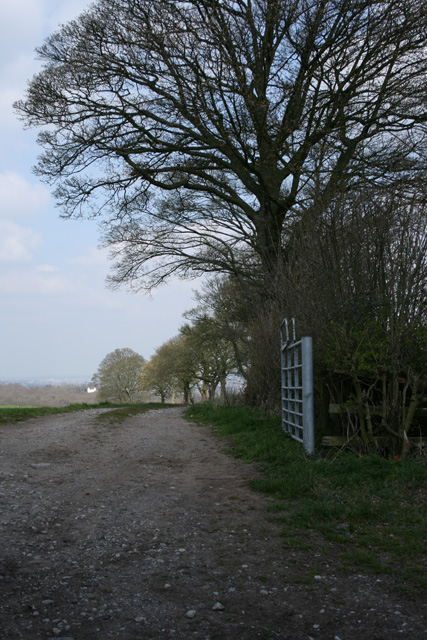
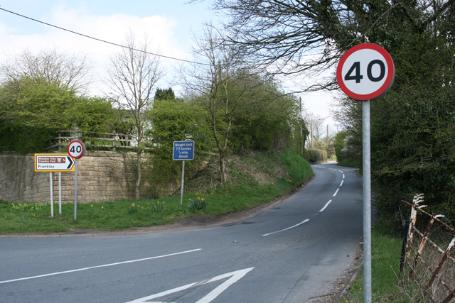
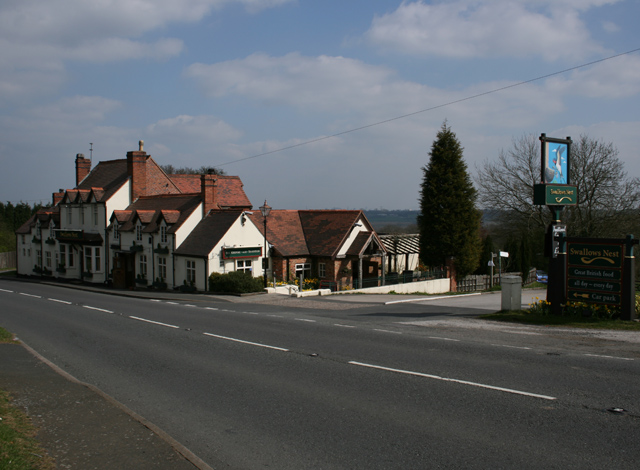
Doctor's Coppice Images
Images are sourced within 2km of 52.41096/-2.0302695 or Grid Reference SO9879. Thanks to Geograph Open Source API. All images are credited.


Doctor's Coppice is located at Grid Ref: SO9879 (Lat: 52.41096, Lng: -2.0302695)
Administrative County: Worcestershire
District: Bromsgrove
Police Authority: West Mercia
What 3 Words
///rigid.reach.influencing. Near Romsley, Worcestershire
Nearby Locations
Related Wikis

New Frankley
New Frankley in Birmingham is a civil parish in Birmingham, England. As such, it has its own parish council. == History == It was established in 2000 in...
King Edward VI Balaam Wood Academy
King Edward VI Balaam Wood Academy is a coeducational secondary school located in the New Frankley area of Birmingham, West Midlands, England.The school...
Waseley Hills Country Park
Waseley Hills Country Park is 150 acres (0.61 km2) a Country Park and Local Nature Reserve owned and managed by Worcestershire County Council's Countryside...

Rubery railway station
Rubery railway station was a railway station in Rubery, Birmingham, England, on the Great Western Railway and Midland Railway's joint Halesowen Railway...
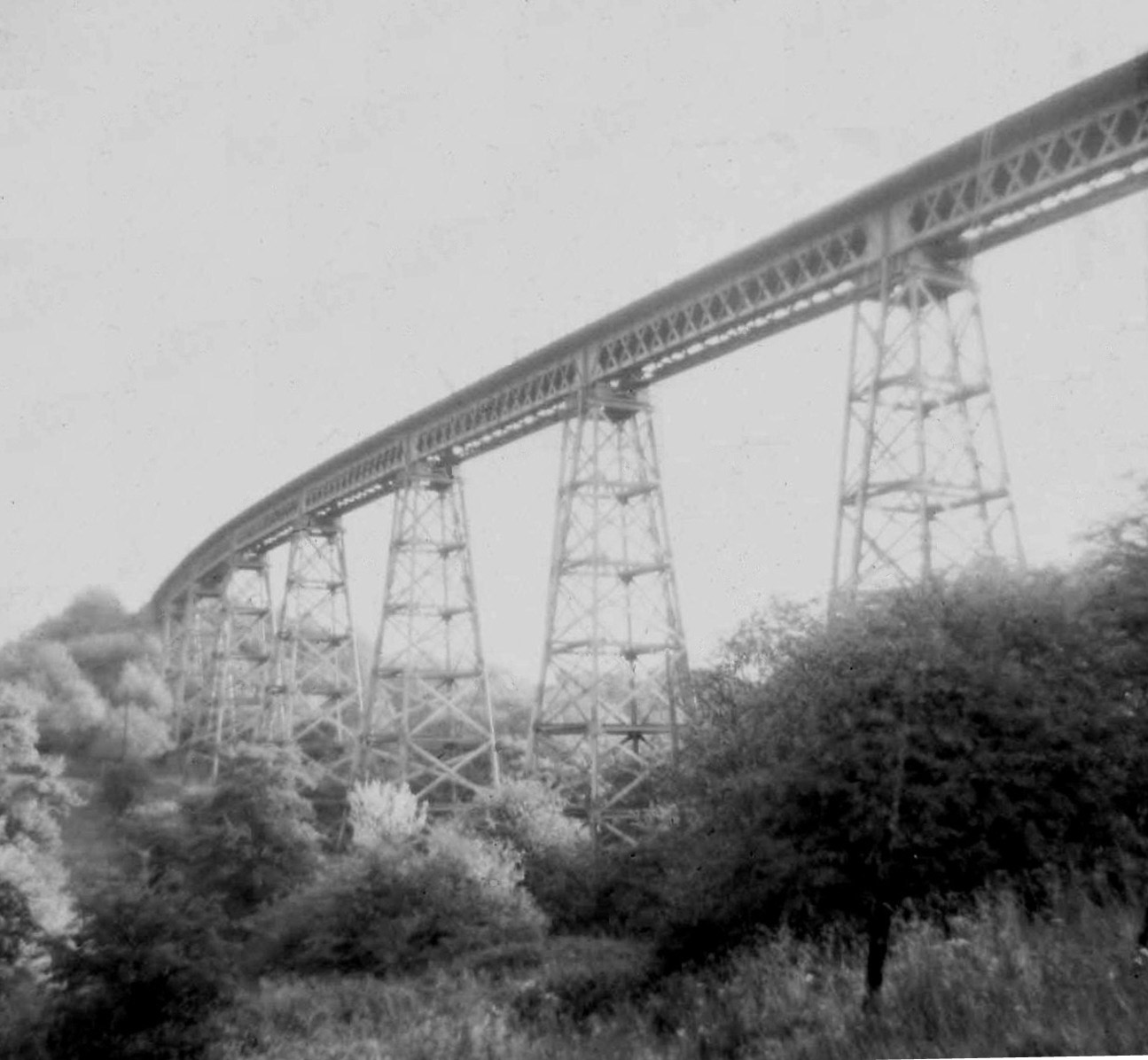
Dowery Dell Viaduct
Dowery Dell, between Rubery and Halesowen in Worcestershire, was a 234 yards (214 m), nine span lattice steel, single-track railway viaduct that carried...

Rubery Hill Hospital
Rubery Hill Hospital was a mental health facility in Birmingham, England. The Chapel, which still survives, is a Grade II listed building. == History... ==

Romsley, Worcestershire
Romsley is a village and civil parish in the Bromsgrove District of Worcestershire, England, on the east side of the Clent Hills about 4 miles south of...
Illey Pastures
Illey Pastures is a 3.5-hectare (8.6-acre) biological site of Special Scientific Interest in the West Midlands. The site was notified in 1989 under the...
Nearby Amenities
Located within 500m of 52.41096,-2.0302695Have you been to Doctor's Coppice?
Leave your review of Doctor's Coppice below (or comments, questions and feedback).