Roughnook Wood

Wood, Forest in Northumberland

England

Roughnook Wood

Harvesting a section of Slaley Forest Signs at the entrance to the eastern end of Slaley Forest warn of a number of closed tracks as a diamond-shaped section of the plantation was being actively clear-cut. The noise of chainsaws filled the air, which a tractor dragged cut logs on a trailer, using a crane to lift these into stacks. A big road-legal timber truck was the other side of the logpile using its own crane to take them off again and away to become glamourous new products like fenceposts or newsprint.
Harvesting a section of Slaley Forest Credit: Andy Waddington

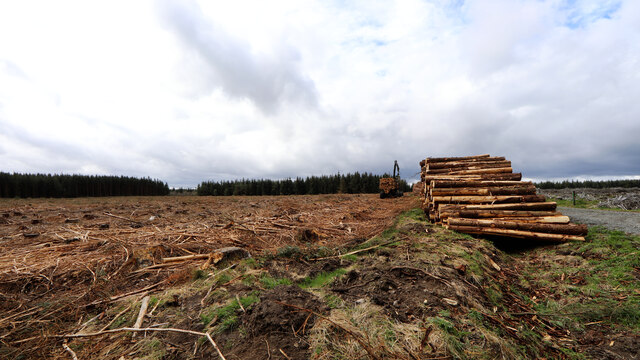
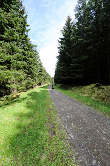
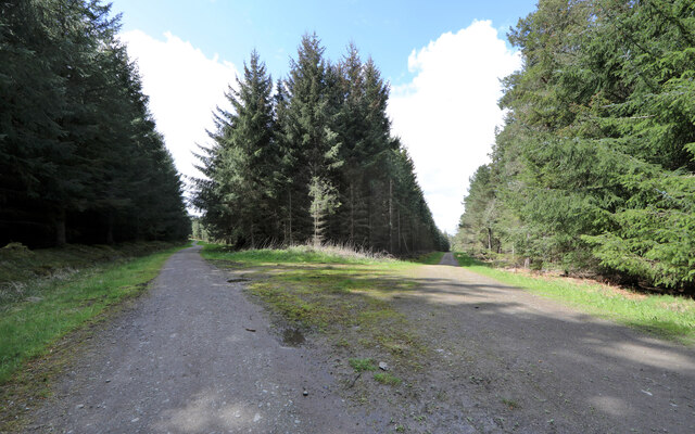
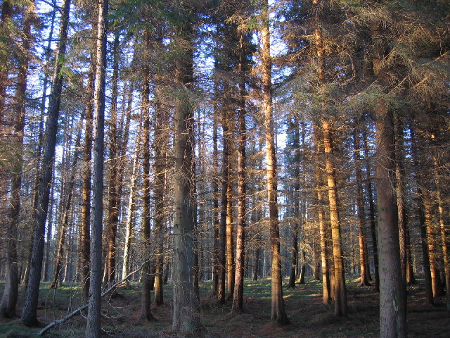
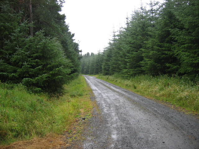
Roughnook Wood is a picturesque forest located in the county of Northumberland, England. Spanning an area of approximately 500 acres, this woodland is renowned for its natural beauty and diverse range of flora and fauna.

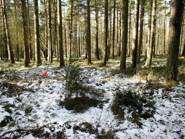
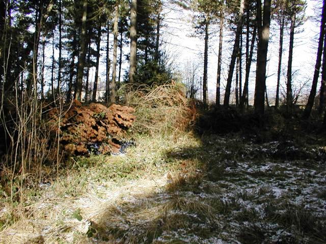
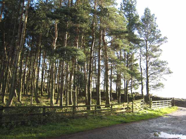
The wood is characterized by its dense canopy of mature trees, including oak, birch, and beech, which provide a haven for various bird species and small mammals. The forest floor is adorned with a carpet of bluebells and wildflowers during the spring, creating a vibrant and enchanting atmosphere.

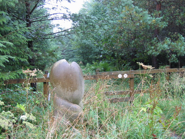
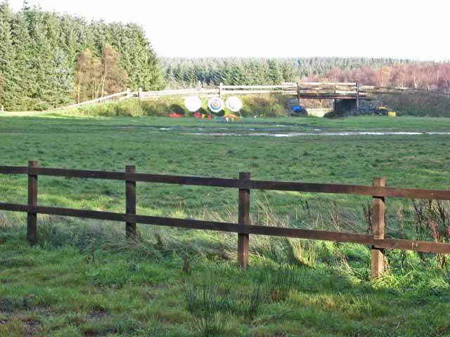
Traversing through Roughnook Wood, visitors can explore a network of well-maintained walking trails that wind their way through the forest. These paths offer stunning views of the surrounding landscape and are suitable for both casual strolls and more adventurous hikes. The wood is also home to a number of charming picnic spots, allowing visitors to relax and enjoy the tranquility of the area.

Wildlife enthusiasts will be delighted by the abundance of animals that call Roughnook Wood their home. Red squirrels can be observed scurrying through the treetops, while deer and badgers can often be spotted foraging in the undergrowth. The wood is also a haven for birdwatchers, with species such as woodpeckers, owls, and warblers frequently sighted.

Overall, Roughnook Wood is a captivating destination for nature lovers, offering a peaceful retreat from the hustle and bustle of everyday life. Whether it be for a leisurely walk, a family picnic, or wildlife spotting, this woodland is sure to leave visitors with a lasting impression of Northumberland's natural beauty.

If you have any feedback on the listing, please let us know in the comments section below.

Roughnook Wood Images

Images are sourced within 2km of 54.90116/-2.0341042 or Grid Reference NY9756. Thanks to Geograph Open Source API. All images are credited.
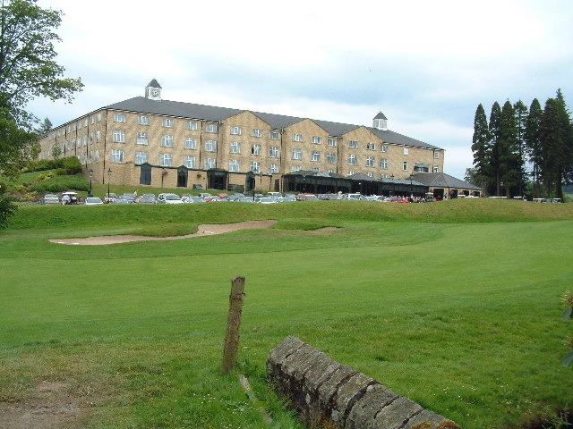
Harvesting a section of Slaley Forest Signs at the entrance to the eastern end of Slaley Forest warn of a number of closed tracks as a diamond-shaped section of the plantation was being actively clear-cut. The noise of chainsaws filled the air, which a tractor dragged cut logs on a trailer, using a crane to lift these into stacks. A big road-legal timber truck was the other side of the logpile using its own crane to take them off again and away to become glamourous new products like fenceposts or newsprint.
Harvesting a section of Slaley Forest
Signs at the entrance to the eastern end of Slaley Forest warn of a number of closed tracks as a diamond-shaped section of the plantation was being actively clear-cut. The noise of chainsaws filled the air, which a tractor dragged cut logs on a trailer, using a crane to lift these into stacks. A big road-legal timber truck was the other side of the logpile using its own crane to take them off again and away to become glamourous new products like fenceposts or newsprint.
Forest track in Slaley Forest A byway is shown on maps running roughly east-west for a kilometre and a half in this area of Slaley Forest, but on the ground, the line it supposedly takes is just densely planted forest. Instead, one is obliged to take a longer route via a number of SW-NE and SE-NW forest tracks such as this one, which are not rights of way of any description (though the bulk of the forest is CROW Access Land).
Forest track in Slaley Forest
A byway is shown on maps running roughly east-west for a kilometre and a half in this area of Slaley Forest, but on the ground, the line it supposedly takes is just densely planted forest. Instead, one is obliged to take a longer route via a number of SW-NE and SE-NW forest tracks such as this one, which are not rights of way of any description (though the bulk of the forest is CROW Access Land).
Forest track branches off byway, Slaley Forest The route to the right is supposedly a byway, though the line of that right of way some way ahead seems to have been wholly effaced by the forest leaving only rather longer routes on the forest tracks (with signage making clear that these are not for vehicles). The route to the left is one of these tracks, and the one we have just taken to reach this point (in the absence of any trace of the byway we'd intended to use starting about two kilometres away).
Forest track branches off byway, Slaley Forest
The route to the right is supposedly a byway, though the line of that right of way some way ahead seems to have been wholly effaced by the forest leaving only rather longer routes on the forest tracks (with signage making clear that these are not for vehicles). The route to the left is one of these tracks, and the one we have just taken to reach this point (in the absence of any trace of the byway we'd intended to use starting about two kilometres away).
Slaley Hall Hotel and Golf Course View of the hotel across the golf course.
Slaley Hall Hotel and Golf Course
View of the hotel across the golf course.
Slaley, St Mary's church The present church of St Mary at Slaley was rebuilt in 1832, although there was a church mentioned here as early as 1239.
Slaley, St Mary's church
The present church of St Mary at Slaley was rebuilt in 1832, although there was a church mentioned here as early as 1239.
Slaley, St. Mary's church entrance
Pry, south of Slaley
Low Kellas Plantation
Hilltop Plantation A spur in the forest, in use as a control site for an orienteering event.
Hilltop Plantation
A spur in the forest, in use as a control site for an orienteering event.
Forest Ride, Hilltop Plantation Taken looking north just south of the house mapped at Hilltop which is just visible left of centre through the trees.
Forest Ride, Hilltop Plantation
Taken looking north just south of the house mapped at Hilltop which is just visible left of centre through the trees.
Burnside Crossroads near Slaley
Sculpture Slaley Forest
Track Slaley Forest
Track Slaley Forest
Archery butts, Winnowshill Plantation
Winnowshill Plantation Scots pine.
Winnowshill Plantation
Scots pine.
Distant view of Slaley Hall Hotel Renowned luxury hotel. <span class="nowrap"><a title="http://www.devere.co.uk/Hotels/Slaley/default.aspx?EQID=01190232-9999999&gclid=CLSj-Iny14gCFSdpEQodMmxJiQ" rel="nofollow ugc noopener" href="http://www.devere.co.uk/Hotels/Slaley/default.aspx?EQID=01190232-9999999&gclid=CLSj-Iny14gCFSdpEQodMmxJiQ">Link</a><img style="margin-left:2px;" alt="External link" title="External link - shift click to open in new window" src="https://s1.geograph.org.uk/img/external.png" width="10" height="10"/></span> Slaley village [<a href="https://www.geograph.org.uk/gridref/NY9757">NY9757</a>] in the distance.
Distant view of Slaley Hall Hotel
Renowned luxury hotel. LinkExternal link Slaley village [NY9757] in the distance.
Colpitts Grange The mail arrives at Colpitts Grange! Whilst there are now no signs of the early 'Coal Pits' which gave the area its name, this hamlet is now almost surrounded by the golf courses of the nearby Slaley Hall Hotel.
Colpitts Grange
The mail arrives at Colpitts Grange! Whilst there are now no signs of the early 'Coal Pits' which gave the area its name, this hamlet is now almost surrounded by the golf courses of the nearby Slaley Hall Hotel.
Pastures near Townfoot, Slaley
Show me another place!

Roughnook Wood is located at Grid Ref: NY9756 (Lat: 54.90116, Lng: -2.0341042)

Unitary Authority: Northumberland

Police Authority: Northumbria

What 3 Words

///relay.otter.drifters. Near Slaley, Northumberland

Nearby Locations

Roughnook Wood

Related Wikis

Colpitts Grange

Colpitts Grange is a hamlet in Northumberland, England. It is about 7 miles (11 km) to the south-east of Hexham. == Governance == Colpitts Grange is in...

Slaley Hall

Slaley Hall is a country house golf resort in Northumberland in North East England, built by local developers Seamus O'Carroll and John Rourke which hosted...

Slaley, Northumberland

Slaley is a village in Northumberland, England. It is situated to the southeast of Hexham. It is surrounded by the following villages: Ruffside, Whitley...

Rowley Burn (Northumberland)

Rowley Burn (also known as Rowley Brook and Ham Burn, NY 9358) is a stream in Northumberland, running around three miles south of Hexham before joining...

Have you been to Roughnook Wood?

Leave your review of Roughnook Wood below (or comments, questions and feedback).