Clint's Plantation
Wood, Forest in Durham
England
Clint's Plantation
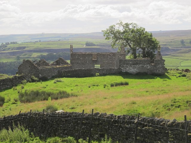
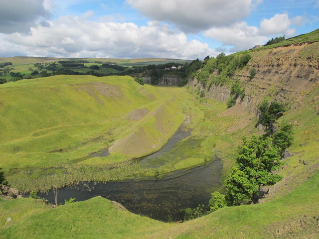
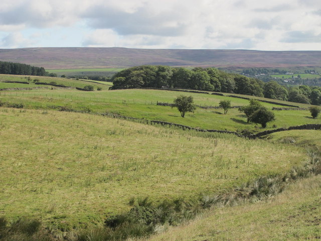
Clint's Plantation, located in Durham, is a picturesque and expansive woodland area known for its rich biodiversity and serene atmosphere. Spanning over a vast expanse of wood and forest, this plantation offers a haven for nature lovers and adventure enthusiasts.
The plantation boasts a diverse range of flora and fauna, with towering trees, vibrant wildflowers, and various species of birds and animals. It is home to numerous ancient oak and maple trees, which provide a stunning canopy of shade during the summer months.
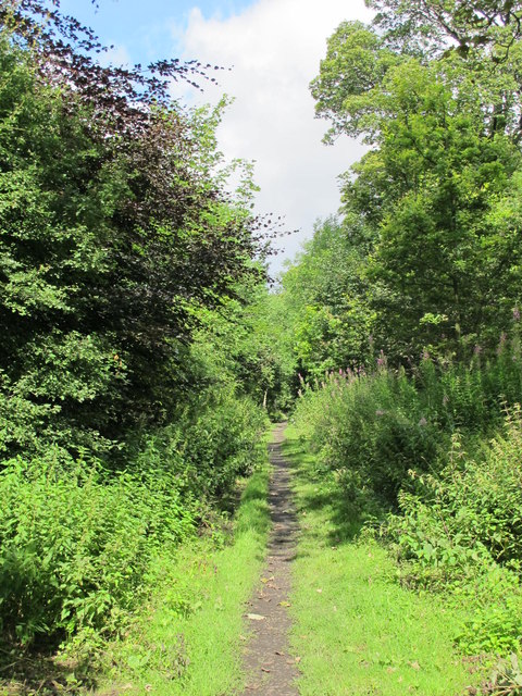
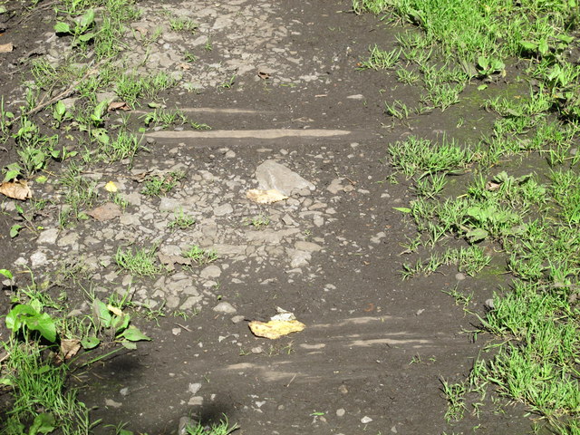
Visitors can explore the plantation through a network of well-maintained trails that wind through the woods, offering an opportunity to immerse themselves in the natural beauty of the area. Nature walks and hikes are popular activities, allowing visitors to discover hidden gems like cascading waterfalls and picturesque viewpoints.
Clint's Plantation is also a hotspot for birdwatching, as it attracts a variety of migratory birds throughout the year. Bird enthusiasts can spot species such as woodpeckers, owls, and warblers in their natural habitat.
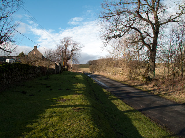
For those seeking a tranquil retreat, Clint's Plantation offers several picnic areas and benches strategically placed to provide breathtaking views of the surrounding forest. It is an ideal spot for families and friends to enjoy a peaceful day out, surrounded by the sights and sounds of nature.
Overall, Clint's Plantation in Durham is a nature lover's paradise, offering a serene escape from the hustle and bustle of city life. With its diverse ecosystem, well-maintained trails, and scenic beauty, it is a must-visit destination for anyone seeking a connection with the natural world.
If you have any feedback on the listing, please let us know in the comments section below.
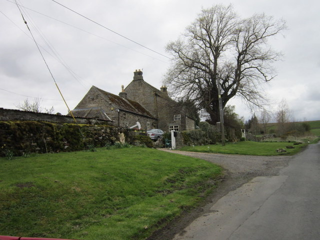
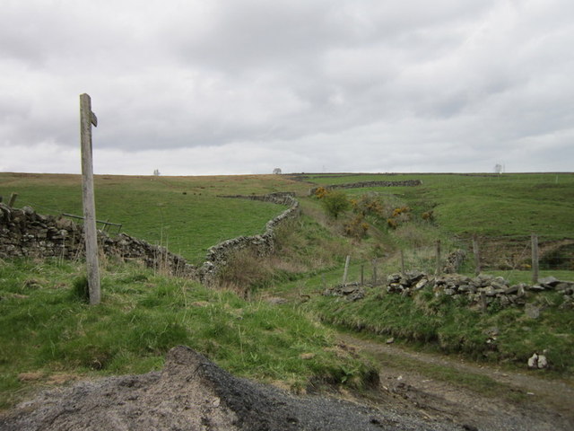
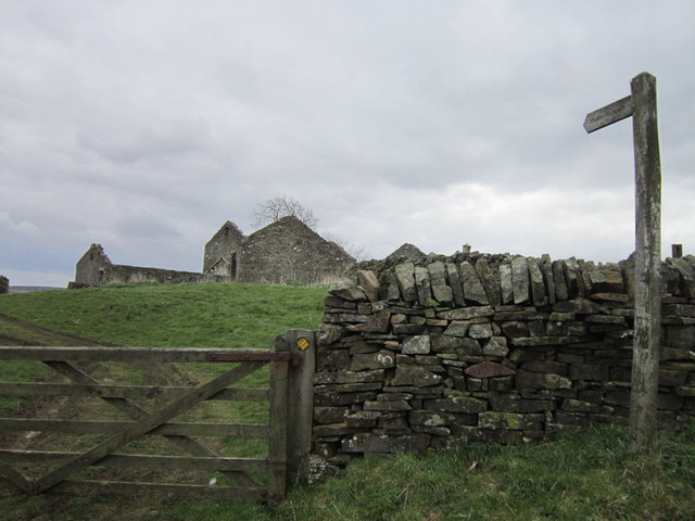
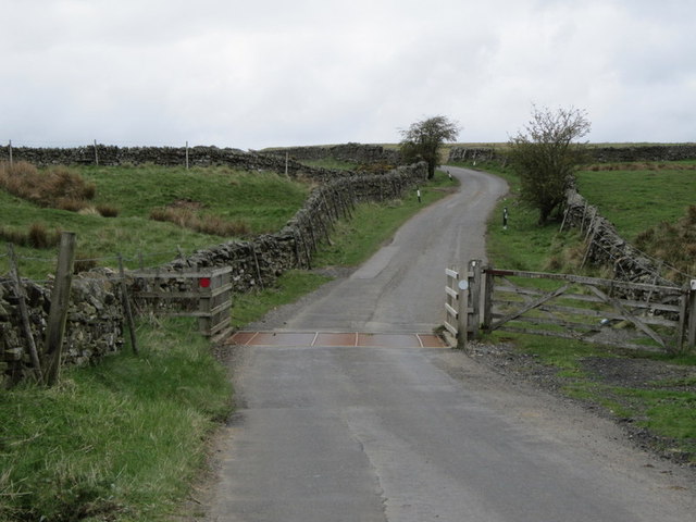
Clint's Plantation Images
Images are sourced within 2km of 54.765051/-2.0341442 or Grid Reference NY9741. Thanks to Geograph Open Source API. All images are credited.


Clint's Plantation is located at Grid Ref: NY9741 (Lat: 54.765051, Lng: -2.0341442)
Unitary Authority: County Durham
Police Authority: Durham
What 3 Words
///lyricism.pausing.plums. Near Stanhope, Co. Durham
Nearby Locations
Related Wikis

Heathery Burn Cave
Heathery Burn Cave is a cave near Stanhope, County Durham, England, in which a large collection of Late Bronze Age weapons and tools was discovered and...

Crawley railway station (Durham)
Crawley railway station served the village of Crawleyside, County Durham, England, from 1845 to 1846 on the Stanhope and Tyne Railway. == History == The...

Crawleyside
Crawleyside is a village in the civil parish of Stanhope, in County Durham, England. It is situated to the north of Stanhope, in Weardale. In the 2001...

Greenfoot Quarry
Greenfoot Quarry is a Site of Special Scientific Interest in the Wear Valley district of west County Durham, England. It is a disused quarry, situated...
Weardale Rural District
Weardale was a rural district in County Durham, England from 1894 to 1974. It was formed under the Local Government Act 1894 as a successor to the Weardale...

Stanhope, County Durham
Stanhope is a market town and civil parish in the County Durham district, in the ceremonial county of Durham, England. It lies on the River Wear between...
Crawley Edge Cairns
The Crawley Edge Cairns are a series of forty-two Bronze Age round barrows, cairns and clearance cairns located in a field in Crawleyside, near Stanhope...

Horsley Hall
Horsley Hall is a 17th-century country house, now in use as a hotel, near Stanhope, County Durham, England. It is a Grade II listed building. The manor...
Nearby Amenities
Located within 500m of 54.765051,-2.0341442Have you been to Clint's Plantation?
Leave your review of Clint's Plantation below (or comments, questions and feedback).