Lower Kite's Wood

Wood, Forest in Worcestershire Wychavon

England

Lower Kite's Wood

Country road near Stock Green This road approaches a t-junction in a small hamlet which is not named on the OS map.
Country road near Stock Green Credit: Philip Halling

Lower Kite's Wood is a picturesque woodland located in Worcestershire, England. Covering an area of approximately 150 acres, it is part of the larger Kite's Wood complex, which includes Upper Kite's Wood and Middle Kite's Wood. The wood is situated within the beautiful countryside of Worcestershire, offering visitors a peaceful and tranquil environment.

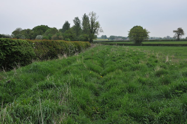
Lower Kite's Wood is predominantly composed of deciduous trees, such as oak, ash, and beech, which create a dense canopy overhead. The woodland floor is adorned with a variety of wildflowers, including bluebells, primroses, and wood anemones, adding bursts of color to the landscape during spring.

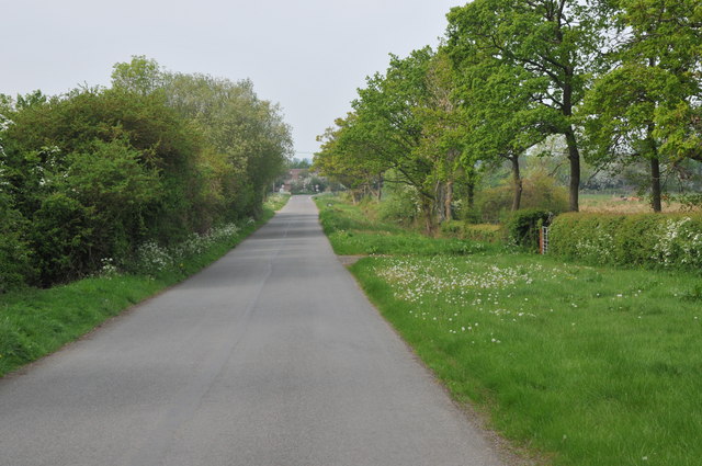
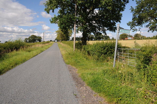
The wood is intersected by a network of well-maintained footpaths, allowing visitors to explore the area and enjoy leisurely walks amidst nature. These paths lead to several viewpoints, from where one can observe the breathtaking vistas of the surrounding countryside.

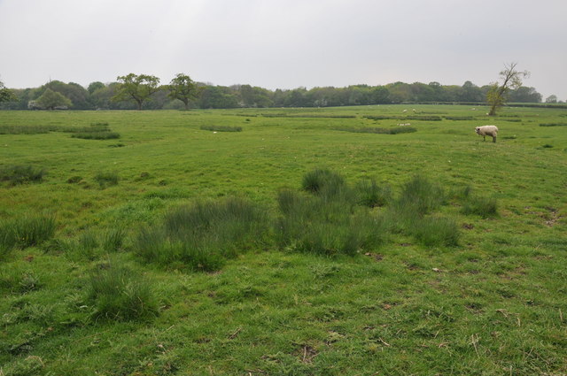
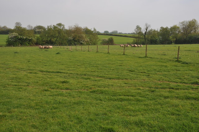
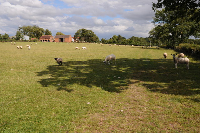
The wood is also home to a diverse range of wildlife, including various bird species, such as woodpeckers and owls, as well as mammals like badgers and foxes. Nature enthusiasts and birdwatchers frequent the area to observe and appreciate the abundant wildlife.

Lower Kite's Wood is a popular destination for outdoor activities, such as hiking, birdwatching, and photography. The wood offers a serene and idyllic setting for those seeking solace in nature, making it an ideal spot for relaxation and rejuvenation.

If you have any feedback on the listing, please let us know in the comments section below.

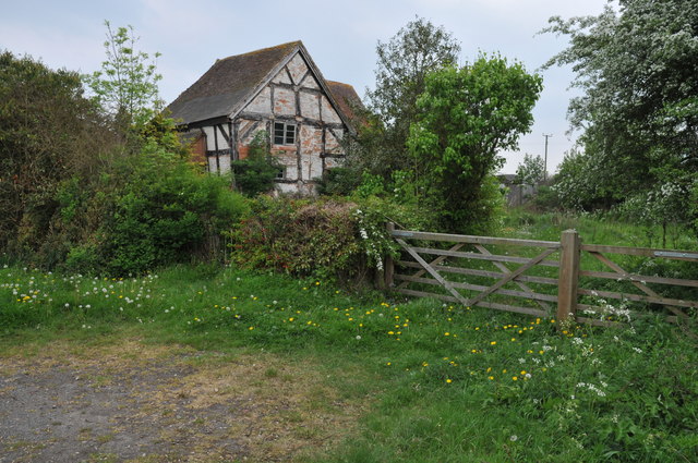
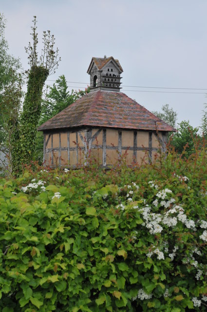
Lower Kite's Wood Images

Images are sourced within 2km of 52.20609/-2.0321776 or Grid Reference SO9756. Thanks to Geograph Open Source API. All images are credited.

Country road near Stock Green This road approaches a t-junction in a small hamlet which is not named on the OS map.
Country road near Stock Green
This road approaches a t-junction in a small hamlet which is not named on the OS map.
Farmland beside Grafton Wood On the far side of this field the Wychavon Way passes beside the Grafton Wood.
Farmland beside Grafton Wood
On the far side of this field the Wychavon Way passes beside the Grafton Wood.
Farmland near Stock Green At present this field is dry however the reeds suggest this field normally lies wet.
Farmland near Stock Green
At present this field is dry however the reeds suggest this field normally lies wet.
Bridleway to Upper Kite's Wood This bridleway passes Upper Kite's Wood and joins the Wychavon Way.
Bridleway to Upper Kite's Wood
This bridleway passes Upper Kite's Wood and joins the Wychavon Way.
Sheep near Cockshot Farm Sheep near Cockshot Farm near Kington.
Sheep near Cockshot Farm
Sheep near Cockshot Farm near Kington.
Old cottage at Dormston An old cottage in a sorry state beside the road to Dormston
Old cottage at Dormston
An old cottage in a sorry state beside the road to Dormston
Dovecot at Dormston Dovecot viewed from the road in Dormston.
Dovecot at Dormston
Dovecot viewed from the road in Dormston.
Bridleway at Dormston Bridleway from Dormston to Stock Green.
Bridleway at Dormston
Bridleway from Dormston to Stock Green.
Sheep and Hill Top Farm Sheep in a field with Hill Top Farm in the background.
Sheep and Hill Top Farm
Sheep in a field with Hill Top Farm in the background.
Climb out of the road,  Flyford Flavell
Climb out of the road, Flyford Flavell
The Flyford Arms through the trees Taken from the footpath towards the village.
The Flyford Arms through the trees
Taken from the footpath towards the village.
Paths cross at the corner Taken at the crossing paths near Flyford Flavell. Lots of hedgerow trees have good colonies of mistletoe.
Paths cross at the corner
Taken at the crossing paths near Flyford Flavell. Lots of hedgerow trees have good colonies of mistletoe.
Wychavon Way through the farm,  Flyford Flavell
Wychavon Way through the farm, Flyford Flavell
Footpath to Hill Top Farm Two footpaths cross farmland to the right one of which leads to Hill Top Farm.
Footpath to Hill Top Farm
Two footpaths cross farmland to the right one of which leads to Hill Top Farm.
Junction for Grafton Flyford From A422
Junction for Grafton Flyford
From A422
North Piddle junction from A422
Junction for Flyford Flavell
Kington turning from A422 at Flyford Flavell
Show me another place!

Lower Kite's Wood is located at Grid Ref: SO9756 (Lat: 52.20609, Lng: -2.0321776)

Administrative County: Worcestershire

District: Wychavon

Police Authority: West Mercia

What 3 Words

///princes.cabs.famed. Near Kington, Worcestershire

Related Wikis

Grafton Wood

Grafton Wood is a nature reserve near the village of Grafton Flyford, about 6 miles (9.7 km) east of Worcester, in Worcestershire, England. == Description... ==

Kington, Worcestershire

Kington is a village in Worcestershire, England, situated near to Flyford Flavell. == History == The earliest known recording of Kington in the Domesday...

Flyford Flavell

Flyford Flavell is a village in Worcestershire , it has a traditional pub in the centre of the village adjacent to the village green and a first school...

Dormston

Dormston is a village and civil parish in Worcestershire about 3 miles (4.8 km) south of Redditch. == Name == Dormston's toponym has evolved from Deormodesealdtune...

Grafton Flyford

Grafton Flyford is a village about 6 miles (9.7 km) east of Worcester, in Worcestershire, England. It neighbours Stock Green, with the large farm house...

North Piddle

North Piddle is a small civil parish in the Wychavon district of Worcestershire, England. It is located within a loop of Piddle Brook. North Piddle is...

Little Inkberrow

Little Inkberrow is a village in Worcestershire, England. Ralph Ardern inherited the Worcestershire manor of Little Inkberrow between 1382 (the death...

Radford, Worcestershire

Radford is a hamlet in the Wychavon district of Worcestershire, England. It is 1 mile SSW of Inkberrow. In 2013, Landscan population maps show there to...

Nearby Amenities

Located within 500m of 52.20609,-2.0321776
Bus Stop
Red Hart
Bus: yes
Naptan AtcoCode: 2000G323356
Naptan Bearing: NE
Naptan BusStopType: CUS
Naptan CommonName: Red Hart
Naptan Crossing: A422
Naptan Indicator: Adj
Naptan Landmark: Red Hart Public House
Naptan NaptanCode: wocgmgat
Naptan Street: Cockshot Lane
Naptan Verified: no
Public Transport: platform
Source: naptan_import
Lat/Long: 52.2024078/-2.0284559
Bus Stop
Red Hart
Bus: yes
Naptan AtcoCode: 2000G323424
Naptan Bearing: N
Naptan BusStopType: CUS
Naptan CommonName: Red Hart
Naptan Crossing: A422
Naptan Indicator: Opp
Naptan Landmark: Red Hart Public House
Naptan NaptanCode: wocgjgwj
Naptan Street: Cockshot Lane
Naptan Verified: no
Public Transport: platform
Source: naptan_import
Lat/Long: 52.2024619/-2.0290018
Barrier: kissing_gate
Foot: yes
Lat/Long: 52.2077901/-2.0367336
Dormston Coalyard
Location Transition: yes
Power: pole
Transformer: distribution
Voltage Primary: 11000
Lat/Long: 52.2041689/-2.0298377
Barrier: stile
Foot: yes
Lat/Long: 52.2088522/-2.0322561
Power: pole
Lat/Long: 52.207113/-2.0293225
Power: pole
Lat/Long: 52.2098852/-2.0287202
Power: pole
Lat/Long: 52.2098744/-2.0302462
Barrier: kissing_gate
Foot: yes
Lat/Long: 52.2035182/-2.0313344
Park Farm Kington
Power: pole
Transformer: distribution
Voltage Primary: 11000
Lat/Long: 52.2051221/-2.0296701
Power: pole
Lat/Long: 52.2102096/-2.0338202
Power: pole
Lat/Long: 52.2079058/-2.0292082
Location Transition: yes
Power: pole
Lat/Long: 52.2055434/-2.029591
Power: pole
Lat/Long: 52.2085328/-2.0291158
Barrier: kissing_gate
Foot: yes
Lat/Long: 52.2032177/-2.0306502
Power: pole
Lat/Long: 52.209852/-2.0315296
Power: pole
Lat/Long: 52.202561/-2.030178
Power: pole
Lat/Long: 52.2022835/-2.0296127
Barrier: stile
Foot: yes
Lat/Long: 52.2094239/-2.0328942
Location Transition: yes
Power: pole
Lat/Long: 52.2063627/-2.0294221
Power: pole
Lat/Long: 52.2090918/-2.0290537
Power: pole
Lat/Long: 52.2100235/-2.0326502
Power: pole
Lat/Long: 52.2033664/-2.0300123
Barrier: kissing_gate
Foot: yes
Lat/Long: 52.2040549/-2.0290316
Turning Circle
Lat/Long: 52.2029571/-2.0282248
Turning Circle
Lat/Long: 52.2044758/-2.0305266
Power: pole
Lat/Long: 52.2105586/-2.0320067
Location Transition: yes
Power: pole
Lat/Long: 52.2046813/-2.0297375
The data included in this document is from www.openstreetmap.org. The data is made available under ODbL.

Have you been to Lower Kite's Wood?

Leave your review of Lower Kite's Wood below (or comments, questions and feedback).