The Coppice
Wood, Forest in Worcestershire Wychavon
England
The Coppice
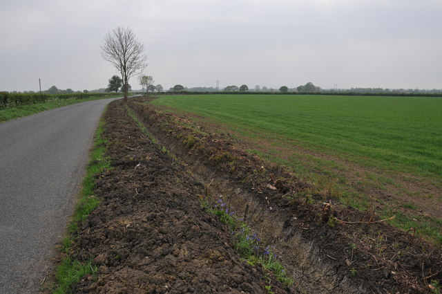
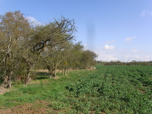
The Coppice, located in Worcestershire, is a picturesque woodland encompassing an area of lush greenery and diverse flora and fauna. Situated in the heart of the county, this forested area is renowned for its natural beauty and tranquil atmosphere.
Covering an extensive area of approximately 200 acres, The Coppice is home to a wide range of tree species, including oak, beech, ash, and birch. The dense canopy of these trees creates a shaded and cool environment, perfect for a leisurely walk or a peaceful picnic amidst nature.
As visitors wander through the forest, they will be captivated by the enchanting wildlife that inhabits the area. Squirrels scamper from tree to tree, while birds chirp melodiously, filling the air with their cheerful tunes. The forest floor is carpeted with an array of wildflowers, adding vibrant pops of color to the green surroundings.
Trails wind their way through the woodland, offering visitors the opportunity to explore its beauty at their own pace. The trails vary in length and difficulty, catering to both casual strollers and avid hikers. Along the way, informative signs provide interesting facts about the local flora and fauna, enhancing the educational aspect of the visit.
The Coppice also features a small visitor center, where visitors can learn more about the history and conservation efforts of the woodland. The center offers interactive exhibits, educational workshops, and guided tours, ensuring a fulfilling experience for all ages.
Overall, The Coppice in Worcestershire is a haven for nature lovers and a sanctuary for those seeking solace in the beauty of the natural world. With its diverse ecosystem and serene atmosphere, it is an idyllic destination for anyone looking to reconnect with nature.
If you have any feedback on the listing, please let us know in the comments section below.
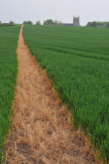
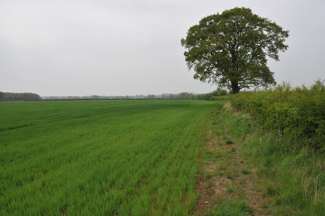
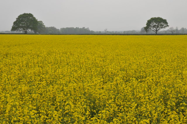
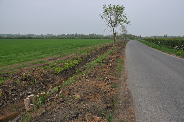
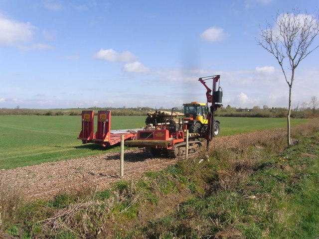
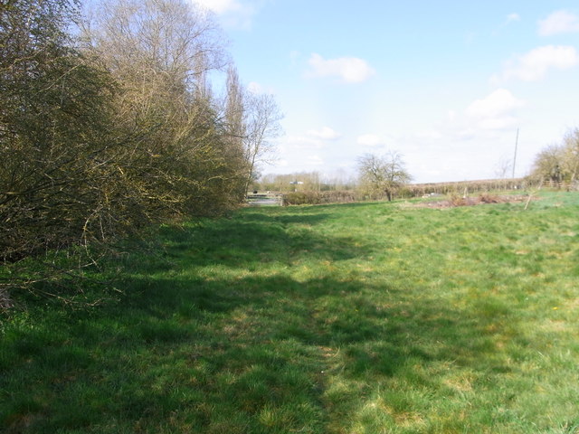
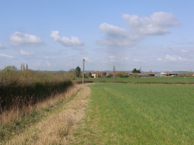
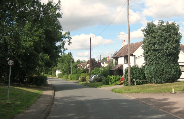
The Coppice Images
Images are sourced within 2km of 52.162172/-2.0333736 or Grid Reference SO9751. Thanks to Geograph Open Source API. All images are credited.


The Coppice is located at Grid Ref: SO9751 (Lat: 52.162172, Lng: -2.0333736)
Administrative County: Worcestershire
District: Wychavon
Police Authority: West Mercia
What 3 Words
///dusty.buggy.puppy. Near Kington, Worcestershire
Nearby Locations
Related Wikis
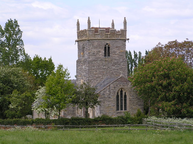
Bishampton
Bishampton is a village and civil parish in the Wychavon district of Worcestershire, England with a population of 625. It contains a church, a village...

Naunton Beauchamp
Naunton Beauchamp (pronounced 'Bo-schomp') is a village and is also a civil parish within Wychavon district in Worcestershire, England. It is in the centre...

Mid Worcestershire (UK Parliament constituency)
Mid Worcestershire is a constituency represented in the House of Commons of the UK Parliament since 2015 by Nigel Huddleston, a Conservative.Under the...
Throckmorton, Worcestershire
Throckmorton is a small village and civil parish in the administrative district of Wychavon, in the county of Worcestershire, England. The village lies...
QinetiQ Pershore
QinetiQ Pershore is a Business Park and Trials Centre operated by QinetiQ. The site is located near the village of Throckmorton, Worcestershire, England...

Abberton, Worcestershire
Abberton is a small village in Worcestershire, England. In 1991, the population was 44, this grew to 67 in 24 households in 2001.The principal house in...

Abberton Hall
Abberton Hall is a small country house in the village of Abberton, Worcestershire, England, near Pershore. == History == It is an irregular two-story...
Flyford Flavell
Flyford Flavell is a village in Worcestershire , it has a traditional pub in the centre of the village adjacent to the village green and a first school...
Have you been to The Coppice?
Leave your review of The Coppice below (or comments, questions and feedback).