The Lake Covert

Wood, Forest in Wiltshire

England

The Lake Covert

Milestone, Idover Demesne, Somerford On Idover Lane that was administered by the Malmesbury Third District Turnpike Trust in the 18/19ᵗʰ C.
The benchmark rivet hole can just be seen (representing 60.6 m ASL).

Inscription (was): Malmesbury 4 / Chippenham 11

Milestone Society National ID: WI_MYCP04
Milestone, Idover Demesne, Somerford Credit: Tom Blanden

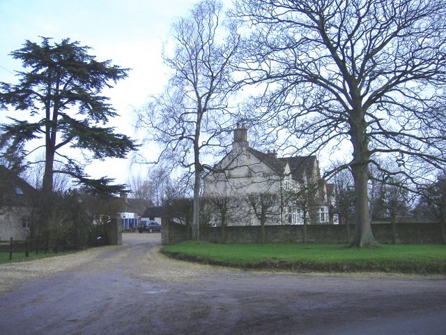
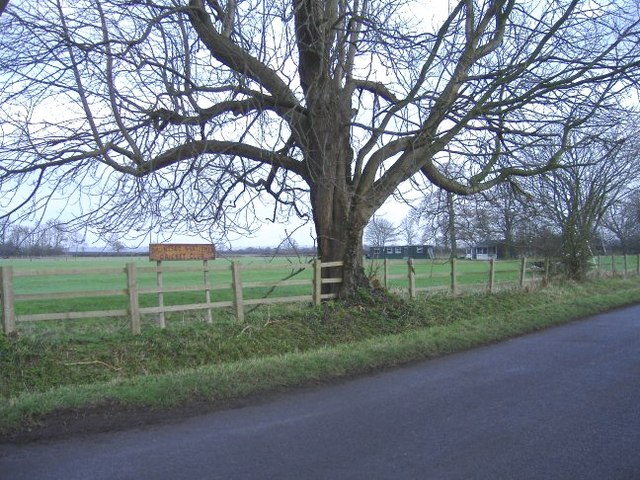
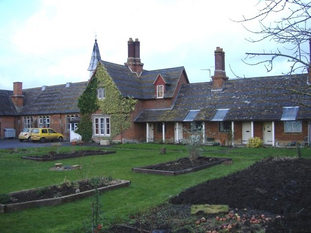
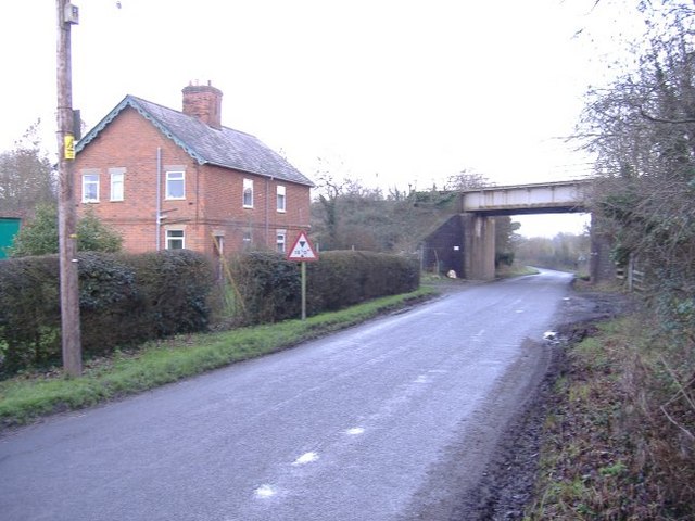
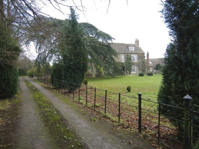
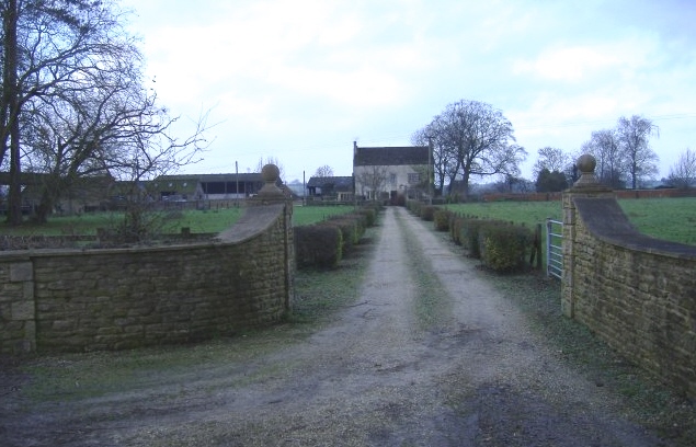
The Lake Covert, located in Wiltshire, England, is a serene and picturesque lake nestled in a dense forest. Covering an area of approximately 10 hectares, it serves as a popular recreational spot for locals and tourists alike. The lake is surrounded by a variety of towering trees, creating a peaceful and secluded atmosphere.

The lake itself is known for its crystal-clear waters, which reflect the vibrant greens of the surrounding forest. It is home to a diverse range of flora and fauna, including water lilies, reeds, and numerous species of fish. Birdwatchers are particularly drawn to the area, as it attracts a plethora of bird species, such as herons, kingfishers, and ducks.

Visitors to The Lake Covert can enjoy a range of activities. Fishing enthusiasts can cast their lines into the lake, hoping to catch species like carp, pike, and perch. Nature lovers can explore the surrounding forest through the various hiking trails, immersing themselves in the beauty and tranquility of the area. Additionally, there are designated picnic areas where families and friends can relax and enjoy a meal amidst nature.

The Lake Covert offers a respite from the hustle and bustle of daily life, providing a haven of peace and serenity. Whether one seeks solitude, adventure, or simply a connection with nature, this scenic location in Wiltshire offers a diverse range of experiences for all.

If you have any feedback on the listing, please let us know in the comments section below.

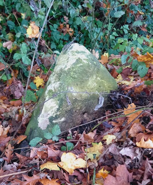
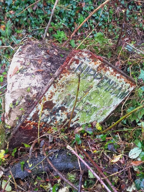
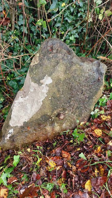
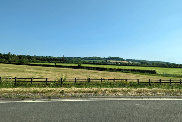
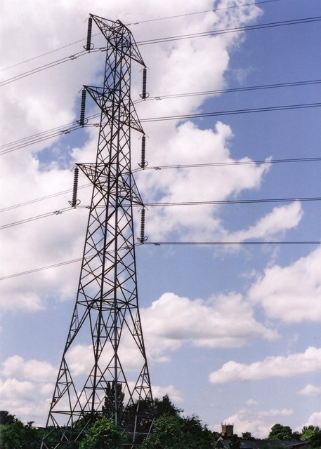
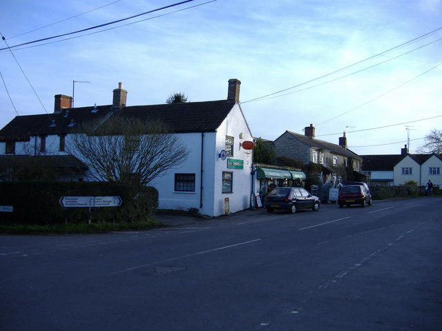
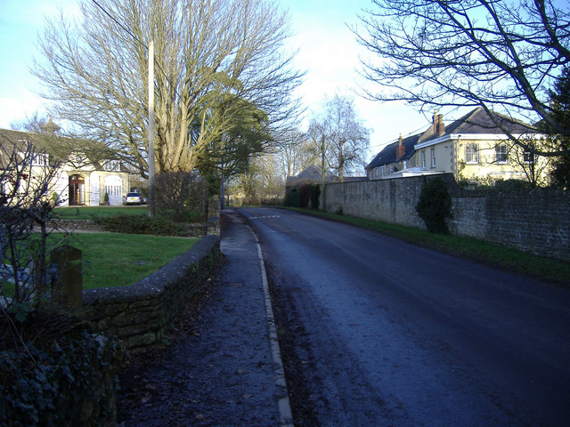
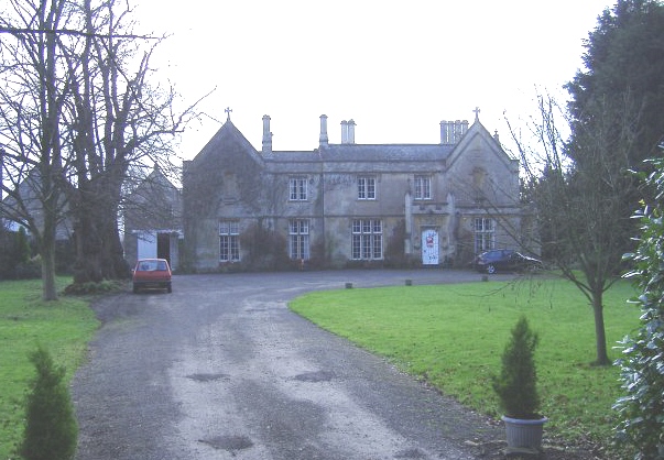
The Lake Covert Images

Images are sourced within 2km of 51.541061/-2.0345143 or Grid Reference ST9782. Thanks to Geograph Open Source API. All images are credited.

Milestone, Idover Demesne, Somerford On Idover Lane that was administered by the Malmesbury Third District Turnpike Trust in the 18/19ᵗʰ C.
The benchmark rivet hole can just be seen (representing 60.6 m ASL).

Inscription (was): Malmesbury 4 / Chippenham 11

Milestone Society National ID: WI_MYCP04
Milestone, Idover Demesne, Somerford
On Idover Lane that was administered by the Malmesbury Third District Turnpike Trust in the 18/19ᵗʰ C. The benchmark rivet hole can just be seen (representing 60.6 m ASL). Inscription (was): Malmesbury 4 / Chippenham 11 Milestone Society National ID: WI_MYCP04
Milestone, Idover Lane, Dauntsey The u/c road is given as Idover Lane, it leads to Idover Demesne Farm and another milestone.
The road was administered by the Malmesbury Third District Turnpike Trust in the 18/19ᵗʰ C.
The rivet benchmark is almost certainly destroyed with weathering (representing 61.3 m ASL).

Inscription: Chippenham / 10 / Miles  / Malmesb,y / 5 / Miles

Grade II Listed November 1987 No 1022490  see <span class="nowrap"><a title="https://historicengland.org.uk/listing/the-list/list-entry/1022490" rel="nofollow ugc noopener" href="https://historicengland.org.uk/listing/the-list/list-entry/1022490">Link</a><img style="margin-left:2px;" alt="External link" title="External link - shift click to open in new window" src="https://s1.geograph.org.uk/img/external.png" width="10" height="10"/></span>

Milestone Society National ID: WI_MYCP05
Milestone, Idover Lane, Dauntsey
The u/c road is given as Idover Lane, it leads to Idover Demesne Farm and another milestone. The road was administered by the Malmesbury Third District Turnpike Trust in the 18/19ᵗʰ C. The rivet benchmark is almost certainly destroyed with weathering (representing 61.3 m ASL). Inscription: Chippenham / 10 / Miles / Malmesb,y / 5 / Miles Grade II Listed November 1987 No 1022490 see LinkExternal link Milestone Society National ID: WI_MYCP05
Old Milestone, Great Somerford On the Eastern side of the road near Seagry Heath. In the parish of Great Somerford. Erected by the Draycot or Upper District Turnpike Trust.
Rivet Benchmark on top  representing 63.3 m ASL.

Inscription (was): Malmesbury 5 / Sutton Benger 2

Milestone Society ID: WI_MYSU05
Old Milestone, Great Somerford
On the Eastern side of the road near Seagry Heath. In the parish of Great Somerford. Erected by the Draycot or Upper District Turnpike Trust. Rivet Benchmark on top representing 63.3 m ASL. Inscription (was): Malmesbury 5 / Sutton Benger 2 Milestone Society ID: WI_MYSU05
Farmland south of M4 near Dauntsey
M4 passing under bridge near Dauntsey A bridleway crosses.
M4 passing under bridge near Dauntsey
A bridleway crosses.
St. Peter & St. Paul Church, Great Somerford
Methodist Church, Great Somerford
The Church of St. James the Great, Dauntsey
Pylon at Great Somerford
Winter afternoon at the crossroads, Great Somerford.
West Street, Great Somerford
Dauntsey rectory A grand house for a very small parish! (Now converted into apartments.)
Dauntsey rectory
A grand house for a very small parish! (Now converted into apartments.)
Idover house Entrance drive from Dauntsey Road.
Idover house
Entrance drive from Dauntsey Road.
Dauntsey gentlemen's cricket club A small pavilion nestles among the trees.
Dauntsey gentlemen's cricket club
A small pavilion nestles among the trees.
Dauntsey primary school This old village school sits alongside a row of former almshouses.
Dauntsey primary school
This old village school sits alongside a row of former almshouses.
The road to Dauntsey The road from Little Somerford passes under the main railway line from Paddington to South Wales.
The road to Dauntsey
The road from Little Somerford passes under the main railway line from Paddington to South Wales.
Home Idover Demesne farm Situated north of the road between Little Somerford and Dauntsey.
Home Idover Demesne farm
Situated north of the road between Little Somerford and Dauntsey.
Idover Demesne farm The shrub-lined entrance to a venerable farmhouse.
Idover Demesne farm
The shrub-lined entrance to a venerable farmhouse.
Show me another place!

The Lake Covert is located at Grid Ref: ST9782 (Lat: 51.541061, Lng: -2.0345143)

Unitary Authority: Wiltshire

Police Authority: Wiltshire

What 3 Words

///contrived.sitting.bothered. Near Sutton Benger, Wiltshire

Related Wikis

Brinkworth Brook

The Brinkworth Brook is a tributary of the Bristol Avon. It rises near Broad Hinton in Wiltshire in the West Country of England, and flows in a north...

Great Somerford

Great Somerford is a village and civil parish within Dauntsey Vale, Wiltshire, England, near the south bank of the river Avon. It lies approximately 3...

Great Somerford Halt railway station

Great Somerford Halt was a station on the Malmesbury Branch Line of the Great Western Railway in Wiltshire, England. It was open from 1877 to 1933 for...

Dauntsey

Dauntsey is a small village and civil parish in the county of Wiltshire, England. It gives its name to the Dauntsey Vale in which it lies and takes its...

Little Somerford railway station

Little Somerford railway station served the village of Little Somerford, Wiltshire, England from 1903 to 1963. It was on the South Wales Main Line and...

Little Somerford

Little Somerford is a village and civil parish in Wiltshire, England, 3 miles (4.8 km) southeast of Malmesbury and 7.5 miles (12.1 km) northeast of Chippenham...

Dauntsey Vale

The Dauntsey Vale is a geographical feature in the north of the English county of Wiltshire. It is characterised by a wide, flat, clay floodplain of the...

Royal Agricultural University

The Royal Agricultural University (RAU), formerly the Royal Agricultural College, is a public university in Cirencester, Gloucestershire, England. Established...

Related Videos

KP06GXC Drunk driver wrong way on a one way road.

Clack Hill in Brinkworth Wiltshire is a one-way road downhill. At the bottom of the hill, the opposite carriage way is closed off with a ...

Nearby Amenities

Located within 500m of 51.541061,-2.0345143
The data included in this document is from www.openstreetmap.org. The data is made available under ODbL.

Have you been to The Lake Covert?

Leave your review of The Lake Covert below (or comments, questions and feedback).