Winkworth Plantation
Wood, Forest in Wiltshire
England
Winkworth Plantation
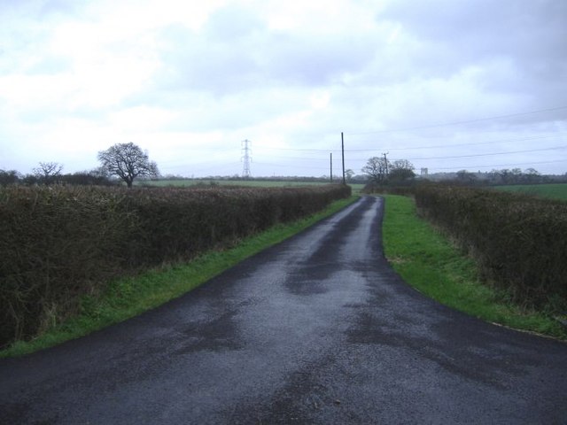
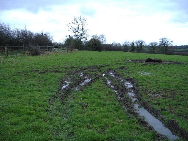
Winkworth Plantation is a picturesque woodland located in Wiltshire, England. Covering an area of approximately 100 acres, this enchanting forest is a haven for nature lovers and those seeking tranquility amidst the bustling city life.
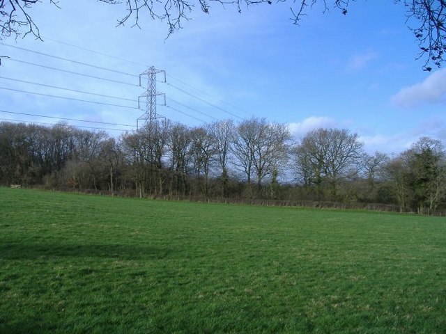
The plantation is primarily composed of ancient oak and beech trees, which provide a stunning canopy of greenery and shade. The woodland floor is adorned with a diverse range of flora, including bluebells, wild garlic, and ferns, creating a vibrant and colorful display throughout the year.
As visitors wander through the plantation, they can explore a network of well-maintained walking trails that wind through the forest, offering glimpses of wildlife such as deer, rabbits, and a variety of bird species. The pathways are suitable for all levels of fitness, making it an ideal destination for families, hikers, and nature enthusiasts alike.
Winkworth Plantation also boasts a beautiful lake, which is nestled amidst the trees. The tranquil waters reflect the surrounding foliage, creating a picture-perfect scene that is often frequented by photographers and artists. Visitors can enjoy a leisurely stroll around the lake or find a peaceful spot to have a picnic and soak in the serene atmosphere.
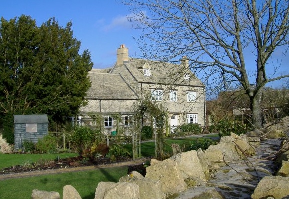
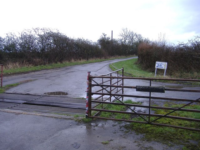
Managed by the National Trust, Winkworth Plantation offers educational programs and events throughout the year, allowing visitors to learn more about the woodland ecosystem and the importance of conservation. The site is easily accessible by car, with ample parking available, and there are facilities such as toilets and a visitor center to enhance the visitor experience.
If you have any feedback on the listing, please let us know in the comments section below.
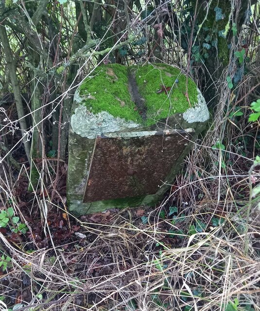
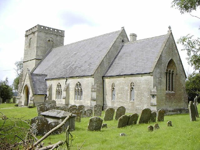
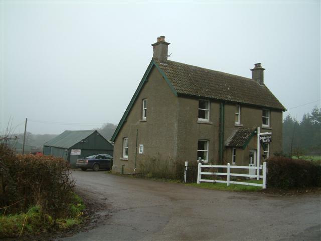
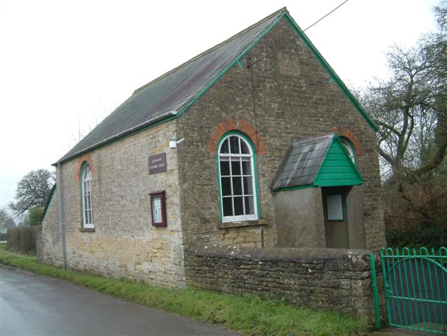
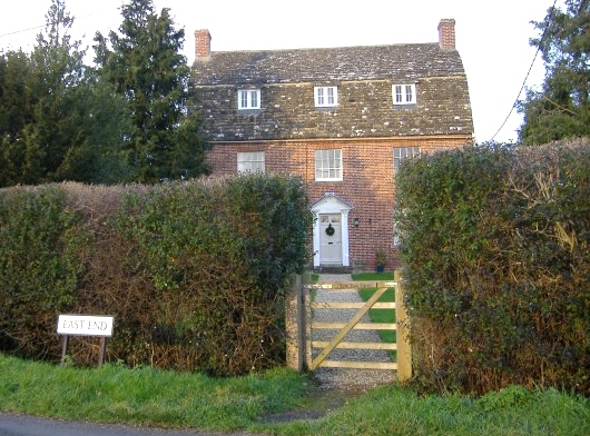
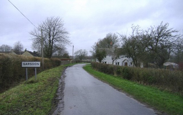
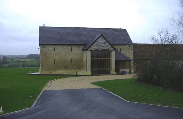
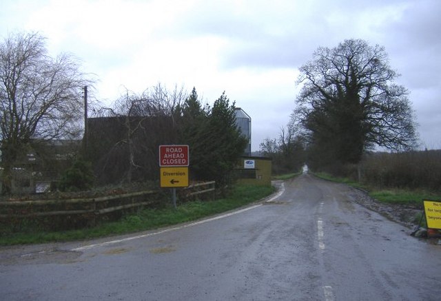
Winkworth Plantation Images
Images are sourced within 2km of 51.576657/-2.0346136 or Grid Reference ST9786. Thanks to Geograph Open Source API. All images are credited.


Winkworth Plantation is located at Grid Ref: ST9786 (Lat: 51.576657, Lng: -2.0346136)
Unitary Authority: Wiltshire
Police Authority: Wiltshire
What 3 Words
///letter.hopping.mistaking. Near Charlton, Wiltshire
Nearby Locations
Related Wikis

Lea, Wiltshire
Lea is a village in Wiltshire, England, lying approximately 1.5 miles (2.4 km) east of Malmesbury. It is part of the civil parish of Lea and Cleverton...

Little Somerford
Little Somerford is a village and civil parish in Wiltshire, England, 3 miles (4.8 km) southeast of Malmesbury and 7.5 miles (12.1 km) northeast of Chippenham...

Little Somerford railway station
Little Somerford railway station served the village of Little Somerford, Wiltshire, England from 1903 to 1963. It was on the South Wales Main Line and...
Charlton, Brinkworth
Charlton is a village and civil parish in North Wiltshire, England, about 2 miles (3 km) northeast of Malmesbury and 4 miles (6.4 km) northwest of the...

Woodbridge Brook
The Woodbridge Brook is a tributary of the Bristol Avon. It rises near Lydiard Millicent in Wiltshire in the west of England and flows in a generally...

Cowbridge House
Cowbridge House, 3⁄4 mile (1.2 km) southeast of Malmesbury, Wiltshire, England, was an 18th-century country house that was demolished in 2007.During the...

Great Somerford Halt railway station
Great Somerford Halt was a station on the Malmesbury Branch Line of the Great Western Railway in Wiltshire, England. It was open from 1877 to 1933 for...

Brinkworth Brook
The Brinkworth Brook is a tributary of the Bristol Avon. It rises near Broad Hinton in Wiltshire in the West Country of England, and flows in a north...
Nearby Amenities
Located within 500m of 51.576657,-2.0346136Have you been to Winkworth Plantation?
Leave your review of Winkworth Plantation below (or comments, questions and feedback).