Chicksgrove Wood

Wood, Forest in Wiltshire

England

Chicksgrove Wood

Thatched cottages at Teffont Magna
Thatched cottages at Teffont Magna Credit: David Martin

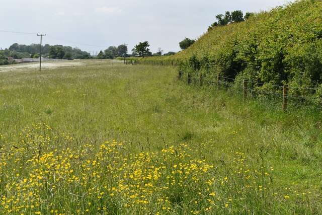
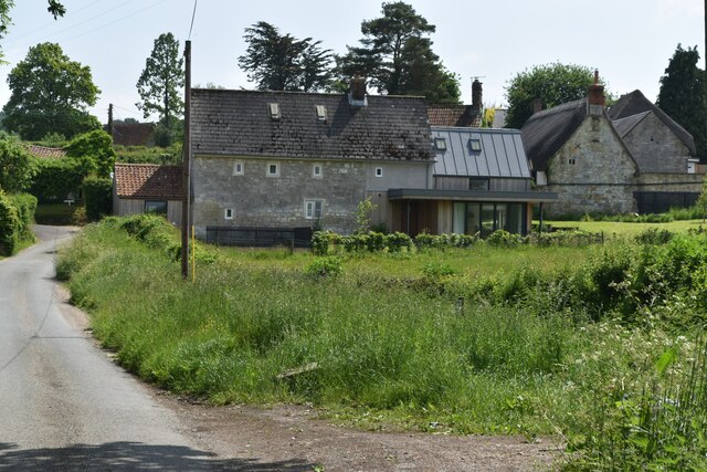
Chicksgrove Wood is a picturesque woodland located in the county of Wiltshire, England. Covering an area of approximately 30 acres, this charming forest is known for its natural beauty and rich biodiversity. It is situated near the village of Tisbury, about 15 miles west of Salisbury.

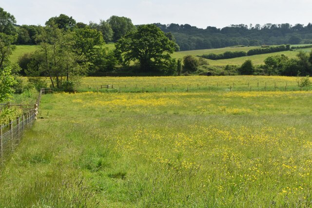
The wood is predominantly composed of broadleaf trees, including oak, beech, and ash, creating a dense canopy that provides shade and shelter for a variety of wildlife. The forest floor is carpeted with a diverse range of wildflowers, ferns, and mosses, adding to its enchanting atmosphere.

Chicksgrove Wood is a popular destination for nature enthusiasts, hikers, and birdwatchers. The area is home to numerous bird species, including woodpeckers, tits, and finches, making it a haven for birdwatching enthusiasts. Additionally, the forest provides habitat for mammals such as deer, foxes, and badgers.

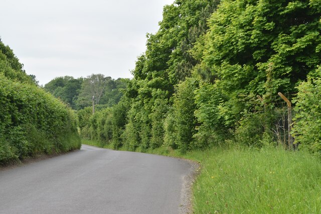
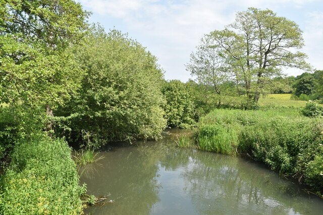
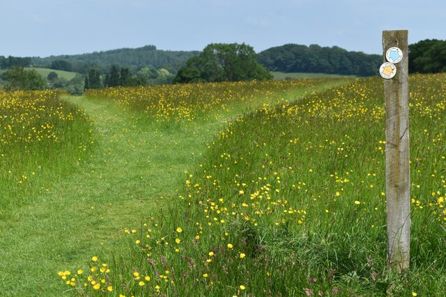
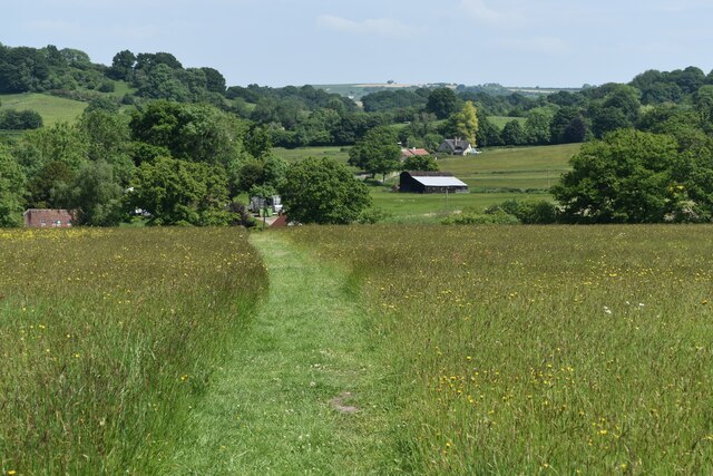
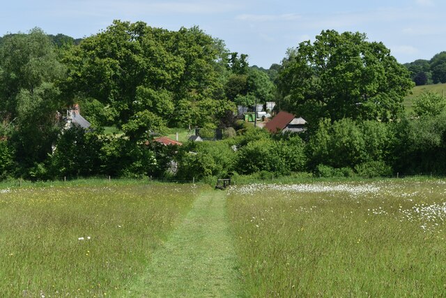
The wood is crisscrossed by a network of well-maintained footpaths and trails, allowing visitors to explore its beauty at their leisure. These paths wind through the forest, providing glimpses of its stunning scenery, tranquil glades, and hidden streams. The wood also features a small pond, attracting a variety of aquatic and amphibious species.

Chicksgrove Wood is a place of serenity and natural wonder, offering a peaceful escape from the hustle and bustle of everyday life. Its unique ecosystem and beautiful landscapes make it a must-visit destination for those seeking to connect with nature in the heart of Wiltshire.

If you have any feedback on the listing, please let us know in the comments section below.

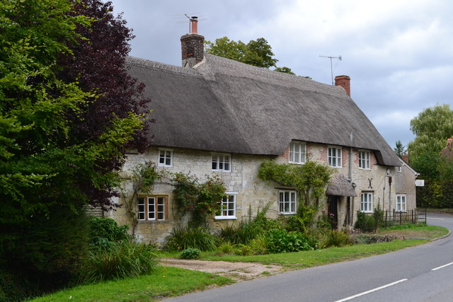
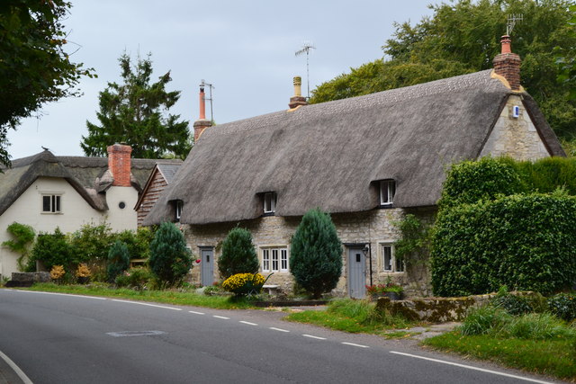
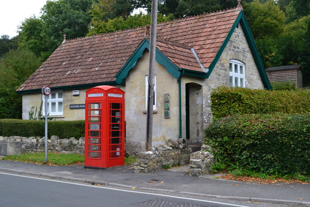
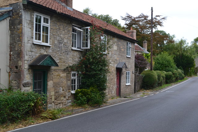
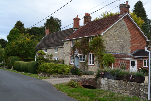
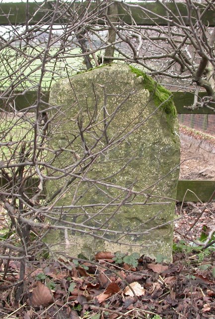
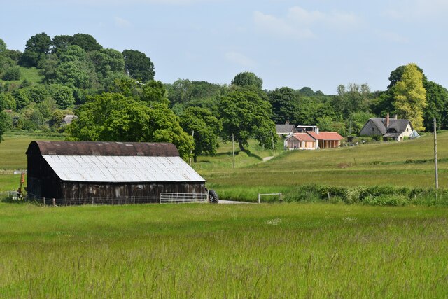
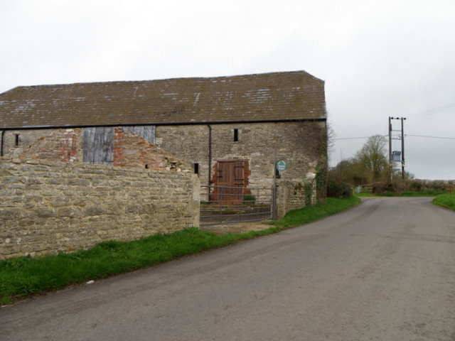
Chicksgrove Wood Images

Images are sourced within 2km of 51.07562/-2.0344211 or Grid Reference ST9730. Thanks to Geograph Open Source API. All images are credited.

Thatched cottages at Teffont Magna
Teffont Magna reading room And a telephone box that still contains a telephone!
Teffont Magna reading room
And a telephone box that still contains a telephone!
Roadside houses at Teffont Magna
Houses near the school in Chilmark
Old Milestone by the B3089, Hindon Road, Teffont parish Carved stone post by the B3089, in parish of TEFFONT (SALISBURY District), Hindon Road; 50m East Clarendon Stud, in hedgerow, on South side of road. Hindon stone, erected by the Fisherton, Wilton, Heytesbury, Willoughby Hedge & Redhone turnpike trust in the 19th century. 

Inscription reads:-
SARUM
XI
HINDON
V

Grade II listed.  
List Entry Number: 1146299 <span class="nowrap"><a title="https://historicengland.org.uk/listing/the-list/list-entry/1146299" rel="nofollow ugc noopener" href="https://historicengland.org.uk/listing/the-list/list-entry/1146299">Link</a><img style="margin-left:2px;" alt="External link" title="External link - shift click to open in new window" src="https://s1.geograph.org.uk/img/external.png" width="10" height="10"/></span>

Milestone Society National ID: WI_SAMR11.
Old Milestone by the B3089, Hindon Road, Teffont parish
Carved stone post by the B3089, in parish of TEFFONT (SALISBURY District), Hindon Road; 50m East Clarendon Stud, in hedgerow, on South side of road. Hindon stone, erected by the Fisherton, Wilton, Heytesbury, Willoughby Hedge & Redhone turnpike trust in the 19th century. Inscription reads:- SARUM XI HINDON V Grade II listed. List Entry Number: 1146299 LinkExternal link Milestone Society National ID: WI_SAMR11.
Lush roadside vegetation at Ham Cross
Buttercup meadow in Nadder Valley
Footpath beside road, Lower Chicksgrove The footpath enters the field just west of Lower Chicksgrove and provides an off-road route to the west.
Footpath beside road, Lower Chicksgrove
The footpath enters the field just west of Lower Chicksgrove and provides an off-road route to the west.
The Three Compasses Inn
River Nadder just above Coleman's Farm
Railway south of Coleman's Farm The single-track line west towards Tisbury and Exeter.
Railway south of Coleman's Farm
The single-track line west towards Tisbury and Exeter.
Houses at Chicksgrove
Y-shaped path junction above Apshill House
Path descending towards Sutton Mandeville Mill Fovant Badges just visible on the far hillside.
Path descending towards Sutton Mandeville Mill
Fovant Badges just visible on the far hillside.
Path approaching Sutton Mandeville Mill
Farm buildings at Sutton Mandeville
Minor road near Teffont Evias The minor road passes the farm buildings of Ley Farm.  There is an Ordnance Survey bench mark on the angle of the barn.
Minor road near Teffont Evias
The minor road passes the farm buildings of Ley Farm. There is an Ordnance Survey bench mark on the angle of the barn.
Show me another place!

Chicksgrove Wood is located at Grid Ref: ST9730 (Lat: 51.07562, Lng: -2.0344211)

Unitary Authority: Wiltshire

Police Authority: Wiltshire

What 3 Words

///relaxed.radio.looms. Near Tisbury, Wiltshire

Nearby Locations

Chicksgrove Wood

Related Wikis

Chilmark Quarries

Chilmark Quarries (grid reference ST974312) is a 9.65 hectare biological and geological Site of Special Scientific Interest (SSSI), in the ravine south...

Lower Chicksgrove

Lower Chicksgrove is a hamlet on the north bank of the River Nadder in the south of the county of Wiltshire, England, within the Vale of Wardour. It is...

Teffont Evias

Teffont Evias is a small village and former civil parish, now in the parish of Teffont, on the Nadder valley in the south of Wiltshire, England. Edric...

Lady Down Quarry

Lady Down Quarry (grid reference ST961307) is a 2,300 square metre geological Site of Special Scientific Interest in the northeast of Tisbury parish in...

Teffont

Teffont is a civil parish in the south of Wiltshire, England, consisting of the villages of Teffont Magna and Teffont Evias. It is in the Nadder valley...

Chicksgrove Quarry

Chicksgrove Quarry (grid reference ST962296) is a 14 acres (5.7 ha) geological Site of Special Scientific Interest south of Upper Chicksgrove in Wiltshire...

Teffont Magna

Teffont Magna, sometimes called Upper Teffont, is a small village and former civil parish, now in the parish of Teffont, in the Nadder valley in the south...

Sutton Mandeville

Sutton Mandeville is a small village and civil parish in Wiltshire, England, in the Nadder valley and towards the east end of the Vale of Wardour. The...

Nearby Amenities

Located within 500m of 51.07562,-2.0344211
Power: pole
Lat/Long: 51.0734407/-2.033777
Power: pole
Lat/Long: 51.073191/-2.0355098
Power: pole
Lat/Long: 51.0729197/-2.0372774
Power: pole
Lat/Long: 51.0736949/-2.0320953
Power: pole
Lat/Long: 51.0726484/-2.0390637
Serve On
Office: disaster_response
Lat/Long: 51.0800272/-2.0352932
Post Box
Operator: Royal Mail
Post Box Type: lamp
Ref: SP3 385
Royal Cypher: GVIR
Royal Cypher Wikidata: Q33102169
Lat/Long: 51.0795445/-2.0371673
The data included in this document is from www.openstreetmap.org. The data is made available under ODbL.

Have you been to Chicksgrove Wood?

Leave your review of Chicksgrove Wood below (or comments, questions and feedback).