Horsley Burn Wood

Wood, Forest in Durham

England

Horsley Burn Wood

Bewdley Plain and Black Hill
Bewdley Plain and Black Hill Credit: Mike Quinn

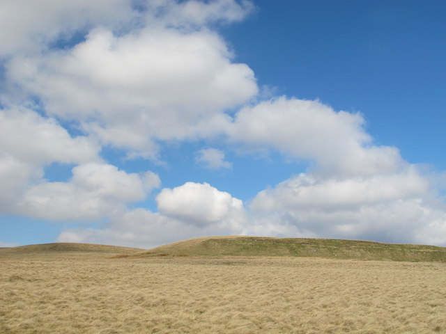
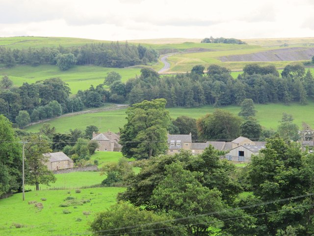
Horsley Burn Wood is a picturesque forest located in the county of Durham, England. Covering an area of approximately 200 hectares, it is a popular destination for nature enthusiasts and hikers alike. The wood is situated in close proximity to the village of Horsley, adding to its accessibility and allure.

The woodland is characterized by its diverse range of flora and fauna. It consists predominantly of broadleaf tree species, including oak, birch, and beech, which create a rich and vibrant canopy during the warmer months. The forest floor is adorned with an array of wildflowers, such as bluebells and primroses, adding bursts of color to the landscape.

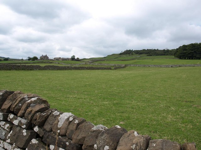
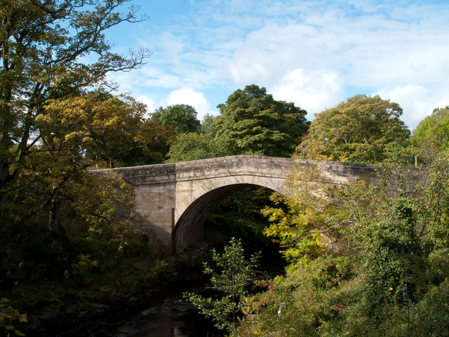
Horsley Burn, a small stream that meanders through the wood, lends its name to the forest and provides a tranquil backdrop to the surroundings. The stream not only adds to the aesthetic appeal of the wood but also supports a variety of aquatic life.

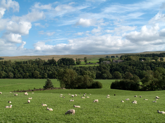
The forest is home to numerous species of wildlife, making it a haven for nature enthusiasts and birdwatchers. Visitors may be fortunate enough to spot a range of birds, including woodpeckers and tawny owls, as well as mammals such as deer and foxes.

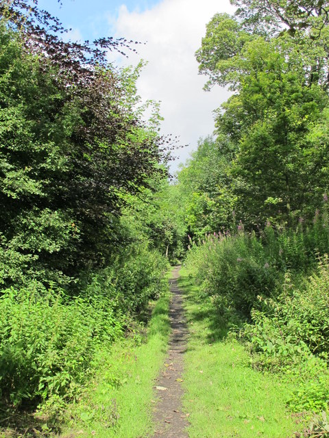
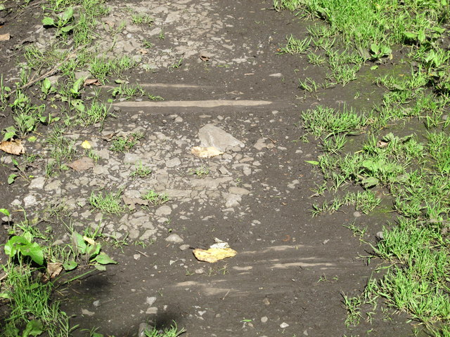
With well-maintained walking trails and footpaths, Horsley Burn Wood offers visitors the opportunity to explore its beauty and tranquility. Whether it is a leisurely stroll or a more adventurous hike, the wood caters to all levels of fitness and interest.

Horsley Burn Wood is a true gem of Durham, providing a serene escape into nature and an opportunity to appreciate the natural beauty of the region.

If you have any feedback on the listing, please let us know in the comments section below.

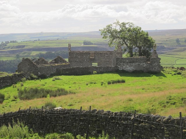
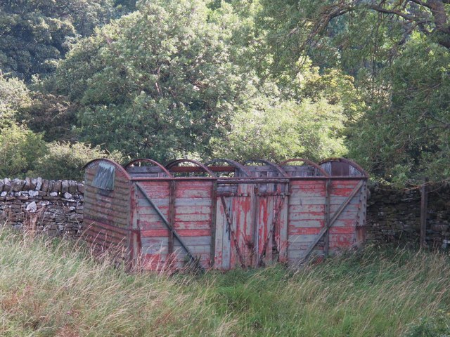
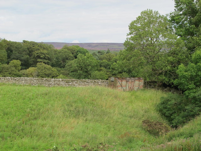
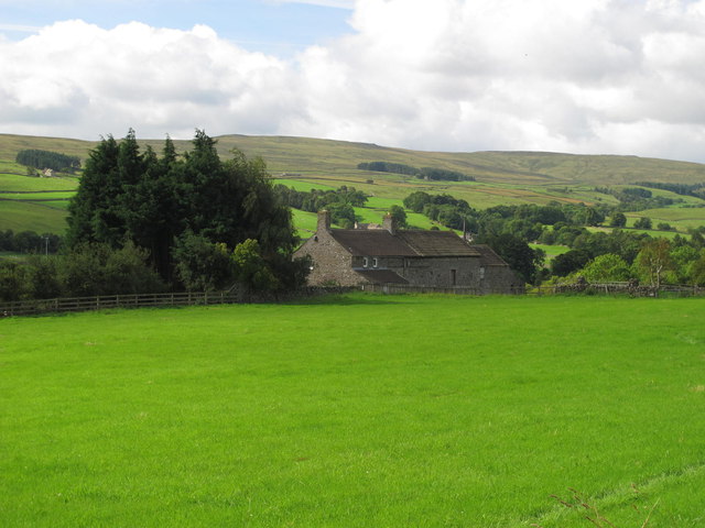
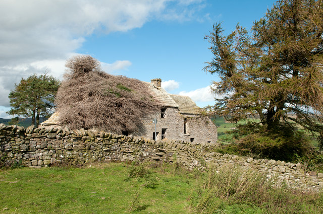
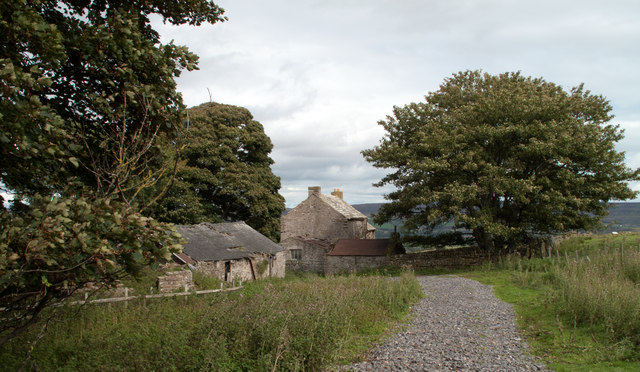
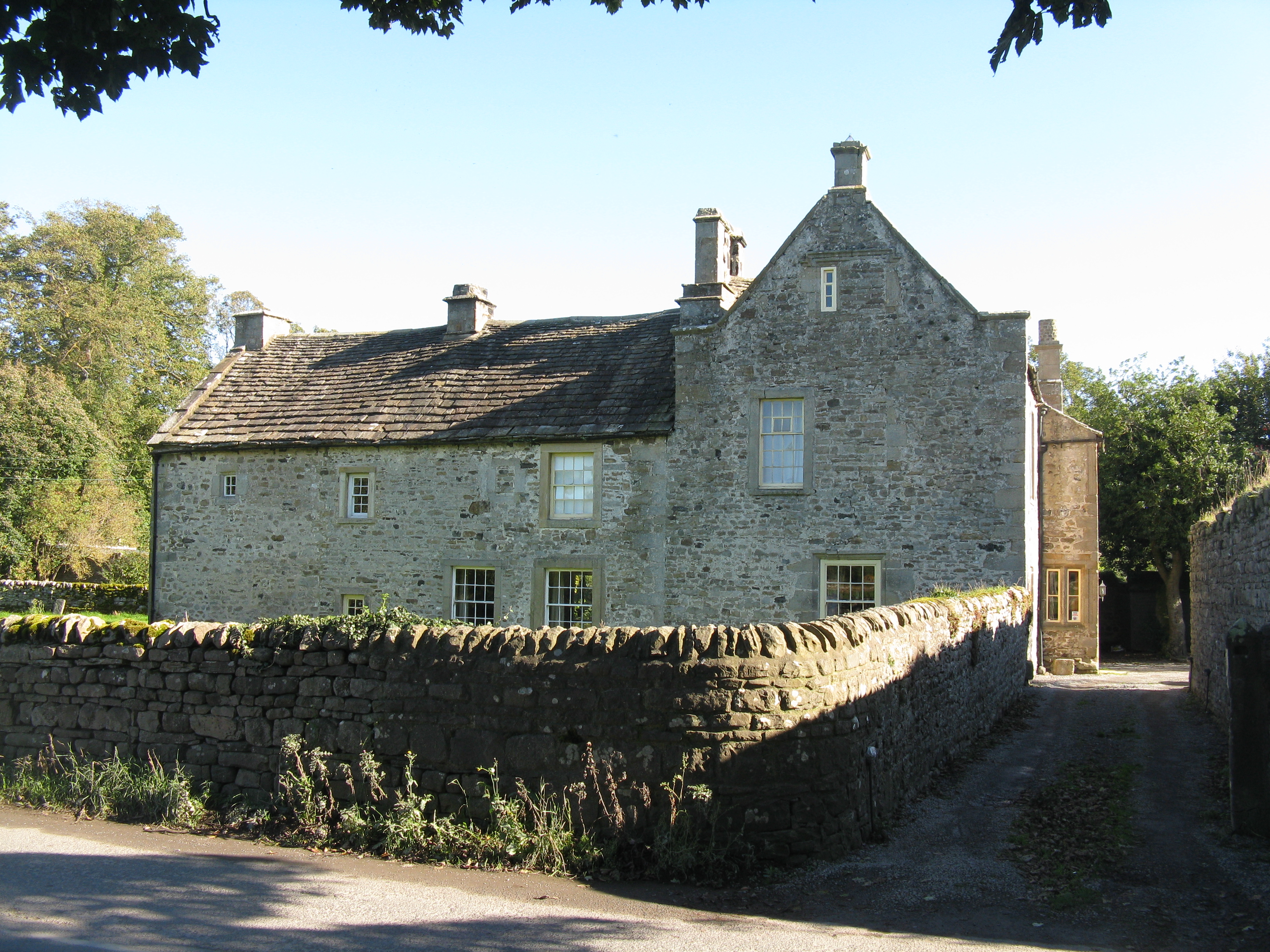
Horsley Burn Wood Images

Images are sourced within 2km of 54.743824/-2.0380406 or Grid Reference NY9738. Thanks to Geograph Open Source API. All images are credited.

Bewdley Plain and Black Hill
Moor House beside B6278 Moor House is a small, deserted property beside the B6278 south of Stanhope. Scurfield House is partly hidden by the right hand tree.
Moor House beside B6278
Moor House is a small, deserted property beside the B6278 south of Stanhope. Scurfield House is partly hidden by the right hand tree.
Pastures and dry stone walls next to A689
White House Farm, on the A689
Field west of Howl John The field with grazing sheep is in Weardale between the villages of Eastgate and Stanhope; it lies immediately west of the curiously named farm at Howl John. Other fields and clumps of trees lie beyond to the south before a slope rises to grassy moorland.
Field west of Howl John
The field with grazing sheep is in Weardale between the villages of Eastgate and Stanhope; it lies immediately west of the curiously named farm at Howl John. Other fields and clumps of trees lie beyond to the south before a slope rises to grassy moorland.
East Bewdley
East Bewdley
Old railway goods van near Greenhead Farm The location of this old railway goods van is shown in <a href="https://www.geograph.org.uk/photo/2559305">NY9739 : The valley of Allerton Burn near Greenhead Farm</a>.
Old railway goods van near Greenhead Farm
The location of this old railway goods van is shown in NY9739 : The valley of Allerton Burn near Greenhead Farm.
The valley of Allerton Burn near Greenhead Farm Shows the location of <a href="https://www.geograph.org.uk/photo/2559299">NY9739 : Old railway goods van near Greenhead Farm</a>.
The valley of Allerton Burn near Greenhead Farm
Weardale near Greenfoot
Weardale around Allerton bridge west of Stanhope Looking south across the valley towards <a href="https://www.geograph.org.uk/photo/1226084">NY9838 : Newlandside Quarry</a> photographed by Peter McDermott.
Weardale around Allerton bridge west of Stanhope
Looking south across the valley towards NY9838 : Newlandside Quarry photographed by Peter McDermott.
Trackbed of the former mineral railway between Ashes Quarry and Crawleyside See <a href="https://www.geograph.org.uk/photo/2559354">NY9939 : Ashes Quarry (2)</a>.
Trackbed of the former mineral railway between Ashes Quarry and Crawleyside
Wooden sleepers in the trackbed of the former mineral railway between Ashes Quarry and Crawleyside See <a href="https://www.geograph.org.uk/photo/2562753">NY9939 : Trackbed of the former mineral railway between Ashes Quarry and Crawleyside</a>.
Wooden sleepers in the trackbed of the former mineral railway between Ashes Quarry and Crawleyside
Stanhope Bridge Stanhope Bridge is a grade II* listed building: 'Medieval and early C19 with C20 restoration' as the website British Listed Buildings tells - <span class="nowrap"><a title="http://britishlistedbuildings.co.uk/en-407548-stanhope-bridge-over-river-wear-stanhope" rel="nofollow ugc noopener" href="http://britishlistedbuildings.co.uk/en-407548-stanhope-bridge-over-river-wear-stanhope">Link</a><img style="margin-left:2px;" alt="External link" title="External link - shift click to open in new window" src="https://s1.geograph.org.uk/img/external.png" width="10" height="10"/></span> . The bridge provides a crossing of the River Wear just west of the town of Stanhope.
Stanhope Bridge
Stanhope Bridge is a grade II* listed building: 'Medieval and early C19 with C20 restoration' as the website British Listed Buildings tells - LinkExternal link . The bridge provides a crossing of the River Wear just west of the town of Stanhope.
Aller Gill House Aller Gill House lies on the south side of the River Wear and north of the minor road there.
Aller Gill House
Aller Gill House lies on the south side of the River Wear and north of the minor road there.
Minor road passing Snowsfield Two roads travel the stretch of Weardale west of Stanhope; most traffic of course uses the main road, the A689, on the north side of the river. This road is on the south side of the River Wear and was photographed here passing the house at Snowsfield.
Minor road passing Snowsfield
Two roads travel the stretch of Weardale west of Stanhope; most traffic of course uses the main road, the A689, on the north side of the river. This road is on the south side of the River Wear and was photographed here passing the house at Snowsfield.
Birkshaw Birkshaw is one of an number of old farmsteads in the vicinity which have been abandoned or at least are deserted. Another abandoned feature seen here is a public footpath: below the centre of the image the through stones of a stile can be seen in the wall, and above them a notice attached to a pole. The notice tells that a path heading east from Birkshaw is not useable due to quarrying; this is odd! This notice and others were erected just a few years ago and yet the quarrying operation ended many decades ago, possibly in the 1940s.
Birkshaw
Birkshaw is one of an number of old farmsteads in the vicinity which have been abandoned or at least are deserted. Another abandoned feature seen here is a public footpath: below the centre of the image the through stones of a stile can be seen in the wall, and above them a notice attached to a pole. The notice tells that a path heading east from Birkshaw is not useable due to quarrying; this is odd! This notice and others were erected just a few years ago and yet the quarrying operation ended many decades ago, possibly in the 1940s.
Snape Gate Horsley Burn is a tributary stream to the River Wear flowing north-east to join it west of Stanhope. Enclosures rise on the south side of the burn eventually giving way to grassy moorland; among the enclosures on that slope there's a surprising number of old farmsteads no longer in use. Some of the buildings are now ruins others merely abandoned; Snape Gate is one of that last group.
Snape Gate
Horsley Burn is a tributary stream to the River Wear flowing north-east to join it west of Stanhope. Enclosures rise on the south side of the burn eventually giving way to grassy moorland; among the enclosures on that slope there's a surprising number of old farmsteads no longer in use. Some of the buildings are now ruins others merely abandoned; Snape Gate is one of that last group.
The ford at Stanhope
Show me another place!

Horsley Burn Wood is located at Grid Ref: NY9738 (Lat: 54.743824, Lng: -2.0380406)

Unitary Authority: County Durham

Police Authority: Durham

What 3 Words

///exotic.denser.intrigues. Near Stanhope, Co. Durham

Related Wikis

Greenfoot Quarry

Greenfoot Quarry is a Site of Special Scientific Interest in the Wear Valley district of west County Durham, England. It is a disused quarry, situated...

Horsley Hall

Horsley Hall is a 17th-century country house, now in use as a hotel, near Stanhope, County Durham, England. It is a Grade II listed building. The manor...

West Newlandside Meadows

West Newlandside Meadows is a Site of Special Scientific Interest in the Wear Valley district of County Durham, England. It lies 3 km south-west of the...

Crawley railway station (Durham)

Crawley railway station served the village of Crawleyside, County Durham, England, from 1845 to 1846 on the Stanhope and Tyne Railway. == History == The...

Unthank, Stanhope

Unthank is a collection of houses in the civil parish of Stanhope, in County Durham, England. Unthank can be found just over Stanhope Ford and at the bottom...

Eastgate railway station

Eastgate railway station, also known as Eastgate-in-Weardale, served the village of Eastgate in County Durham, North East England from 1895 to 1953 as...

Stanhope, County Durham

Stanhope is a market town and civil parish in the County Durham district, in the ceremonial county of Durham, England. It lies on the River Wear between...

Crawleyside

Crawleyside is a village in the civil parish of Stanhope, in County Durham, England. It is situated to the north of Stanhope, in Weardale. In the 2001...

Nearby Amenities

Located within 500m of 54.743824,-2.0380406
Barrier: stile
Source: survey;gps
Lat/Long: 54.747885/-2.0354661
Turning Loop
Lat/Long: 54.7407186/-2.0380097
Power: pole
Lat/Long: 54.7437125/-2.0308493
Power: pole
Lat/Long: 54.7435151/-2.0317371
Power: pole
Lat/Long: 54.7432457/-2.0330447
Power: pole
Lat/Long: 54.7428865/-2.0339593
Power: pole
Lat/Long: 54.7425211/-2.0348445
Power: pole
Lat/Long: 54.7421696/-2.0357269
Power: pole
Lat/Long: 54.7416354/-2.0370425
Power: pole
Lat/Long: 54.74115/-2.0382227
Power: pole
Lat/Long: 54.7411167/-2.0395759
Power: pole
Lat/Long: 54.7410861/-2.0407393
Power: pole
Lat/Long: 54.7410393/-2.0422098
Power: pole
Lat/Long: 54.7410076/-2.0435415
Railway: level_crossing
Lat/Long: 54.7449511/-2.0374417
Historic: milestone
Wikidata: Q111793703
Wikimedia Commons: File:Old Milepost by the A689, Hare Law (geograph 5624116).jpg
Lat/Long: 54.7455038/-2.0419858
The data included in this document is from www.openstreetmap.org. The data is made available under ODbL.

Have you been to Horsley Burn Wood?

Leave your review of Horsley Burn Wood below (or comments, questions and feedback).