Shordon Brae
Wood, Forest in Northumberland
England
Shordon Brae
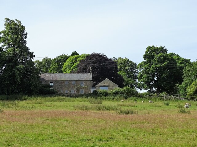
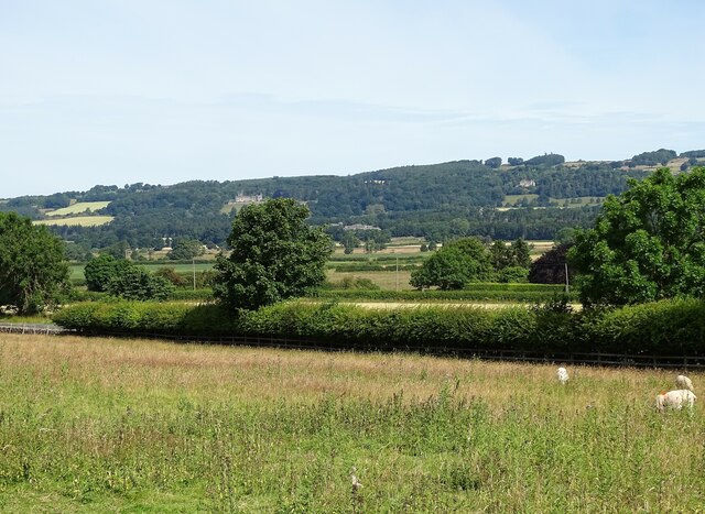
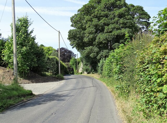
Shordon Brae is a picturesque woodland area located in the county of Northumberland, England. Nestled in the heart of the Northumbrian countryside, this serene forest is a haven for nature lovers and outdoor enthusiasts.
Covering an area of approximately 500 acres, Shordon Brae is characterized by its dense canopy of towering trees, predominantly consisting of ancient oak and beech varieties. These magnificent trees create a lush green landscape that is home to a diverse range of flora and fauna.
The forest floor is adorned with a carpet of wildflowers, ferns, and moss, providing a vibrant contrast to the towering trees above. The woodland is also home to a variety of wildlife, including deer, foxes, badgers, and numerous bird species, making it a popular spot for birdwatching and wildlife photography.
Shordon Brae offers a network of well-maintained footpaths and trails, allowing visitors to explore the forest at their own pace. These paths wind through the woodland, leading to hidden glades, tranquil ponds, and stunning viewpoints. The forest also features a small stream that meanders through its heart, adding to the tranquility and natural beauty of the surroundings.
With its peaceful ambiance and unspoiled natural beauty, Shordon Brae is an ideal destination for those seeking solace and a connection with nature. Whether it is a leisurely stroll, a family picnic, or a chance to observe wildlife in its natural habitat, this enchanting woodland never fails to captivate and inspire its visitors.
If you have any feedback on the listing, please let us know in the comments section below.
Shordon Brae Images
Images are sourced within 2km of 54.97879/-2.0386546 or Grid Reference NY9764. Thanks to Geograph Open Source API. All images are credited.


Shordon Brae is located at Grid Ref: NY9764 (Lat: 54.97879, Lng: -2.0386546)
Unitary Authority: Northumberland
Police Authority: Northumbria
What 3 Words
///perfected.strength.mouths. Near Corbridge, Northumberland
Nearby Locations
Related Wikis

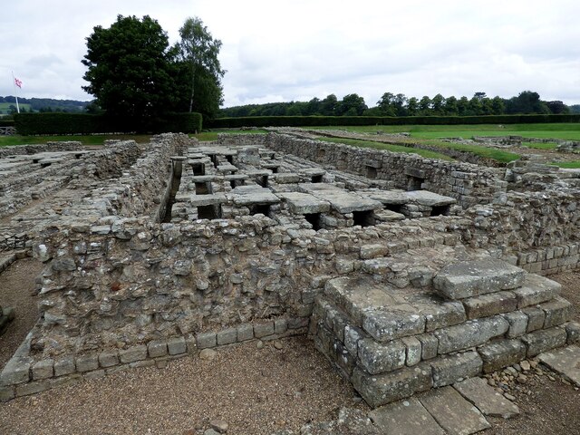
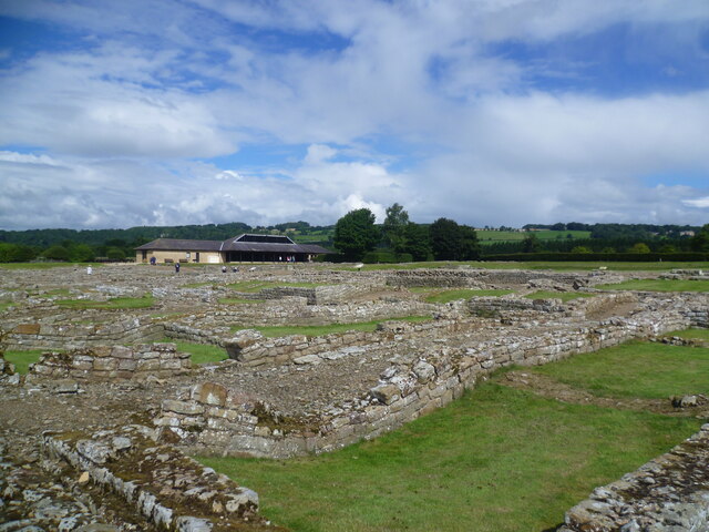
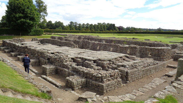
Coria (Corbridge)
Coria was a fort and town 2.5 miles (4.0 km) south of Hadrian's Wall, in the Roman province of Britannia at a point where a big Roman north–south road...

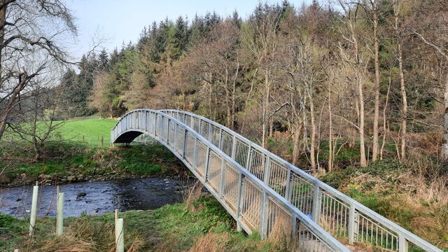
Devil's Water
Devil's Water is a narrow, powerful river in Northumberland, England fed by many streams. A right-bank firmly north-flowing tributary of the Tyne, it ends...
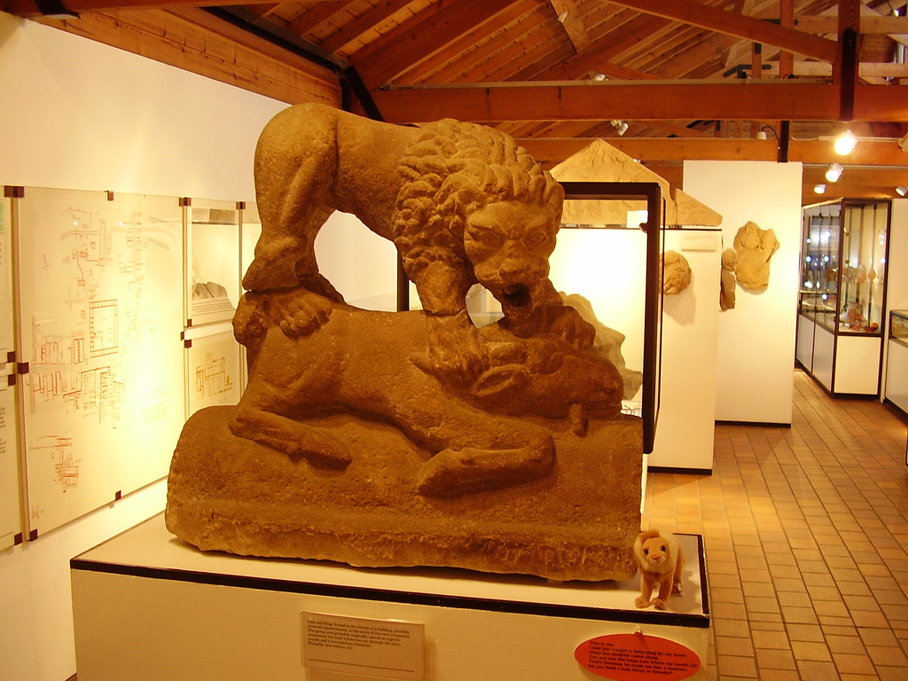
Corbridge Lion
The Corbridge Lion, Northumberland, England, is an ancient Roman free-standing sandstone sculpture of a male lion standing on a prone animal (possibly...

Corbridge Vicar's Pele
Corbridge Vicar's Pele is a pele tower in the village of Corbridge, Northumberland, England. It was a three-storey defensive pele tower, with one room...

Sandhoe Hall
Sandhoe Hall, also once known as Sandhoe House, is a 19th-century country house situated at Sandhoe, Northumberland. It is a Grade II listed building.The...

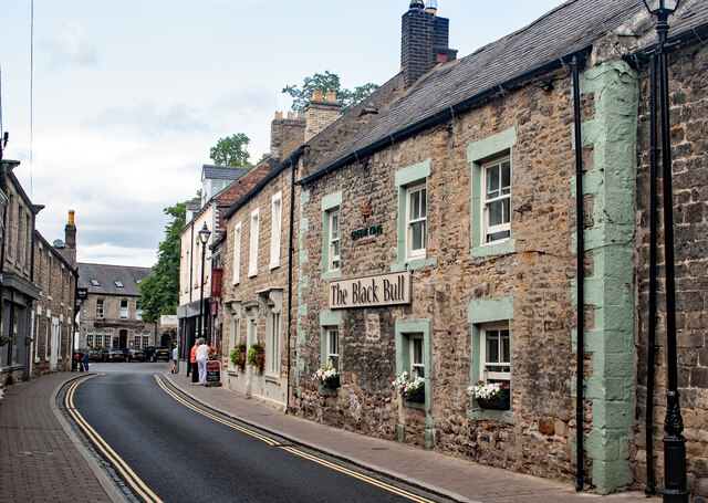
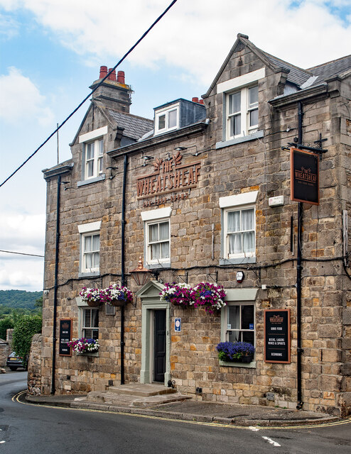
Corbridge
Corbridge is a village in Northumberland, England, 16 miles (26 km) west of Newcastle and 4 miles (6 km) east of Hexham. Villages nearby include Halton...

Corbridge Town Hall
Corbridge Town Hall is a municipal building in Princes Street in Corbridge, Northumberland, England. The building, which is now in commercial use, is a...

Corbridge Bridge
Corbridge Bridge is a 17th-century stone bridge across the River Tyne at Corbridge, Northumberland, England. The bridge used to carry the A68 road over...
Nearby Amenities
Located within 500m of 54.97879,-2.0386546Have you been to Shordon Brae?
Leave your review of Shordon Brae below (or comments, questions and feedback).