Chatcombe Wood
Wood, Forest in Gloucestershire Cotswold
England
Chatcombe Wood
Chatcombe Wood is a picturesque woodland located in the county of Gloucestershire, England. Covering an area of approximately 100 acres, it is nestled within the stunning Cotswolds region. This ancient woodland is known for its diverse range of flora and fauna, making it a popular destination for nature enthusiasts and hikers alike.
The wood is predominantly made up of deciduous trees, including oak, beech, and birch, creating a beautiful canopy during the summer months. Bluebells carpet the forest floor in the spring, adding a vibrant burst of color to the landscape. There are also several clearings within the wood, where sun-drenched glades offer a tranquil spot for picnics or simply soaking up the natural surroundings.
Chatcombe Wood is home to a wide variety of wildlife, including deer, foxes, and badgers. Birdwatchers can spot a range of species, such as woodpeckers, owls, and thrushes. The wood also boasts a rich insect population, with butterflies and dragonflies flitting between the trees.
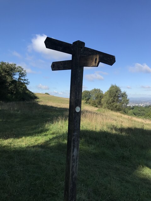
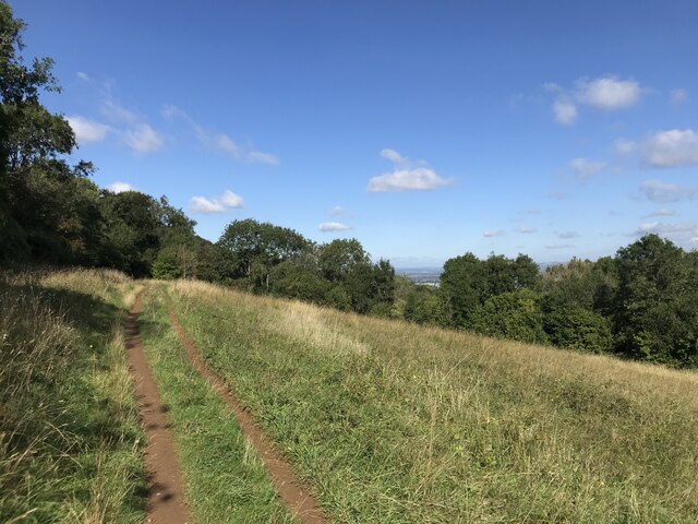
The woodland is crisscrossed with a network of well-maintained footpaths, allowing visitors to explore its beauty at their own pace. These paths lead to scenic viewpoints and provide access to the nearby villages, allowing for longer hikes or cycling routes for those seeking a more active adventure.
Overall, Chatcombe Wood offers a peaceful escape from the hustle and bustle of everyday life, providing visitors with an opportunity to immerse themselves in the natural beauty of the Gloucestershire countryside.
If you have any feedback on the listing, please let us know in the comments section below.
Chatcombe Wood Images
Images are sourced within 2km of 51.854708/-2.036251 or Grid Reference SO9717. Thanks to Geograph Open Source API. All images are credited.


Chatcombe Wood is located at Grid Ref: SO9717 (Lat: 51.854708, Lng: -2.036251)
Administrative County: Gloucestershire
District: Cotswold
Police Authority: Gloucestershire
What 3 Words
///cost.diplomat.gullible. Near Charlton Kings, Gloucestershire
Nearby Locations
Related Wikis

Seven Springs, Gloucestershire
Seven Springs is a hamlet in the heavily wooded parish of Coberley in the Cotswold District of Gloucestershire in England, 4 miles (6.4 km) south of Cheltenham...

Lineover Wood
Lineover Wood (grid reference SO987187) is a 20.3-hectare (50-acre) biological Site of Special Scientific Interest in Gloucestershire, notified in 1986...
Coberley
Coberley is a village and civil parish in the Cotswold District of Gloucestershire in England, 4 miles (6.4 km) south of Cheltenham. It lies at the confluence...

DoubleTree by Hilton Cheltenham
DoubleTree by Hilton Cheltenham (earlier known as Cheltenham Park Hotel), Charlton Kings, is a Regency building of historical significance. It was previously...

A40 road
The A40 is a trunk road which runs between London and Goodwick (Fishguard), Wales, and officially called The London to Fishguard Trunk Road (A40) in all...

Charlton Kings railway station
Charlton Kings railway station was a small station in Gloucestershire serving the village of Charlton Kings and the southern outskirts of Cheltenham Spa...

Dowdeswell Reservoir
Dowdeswell Reservoir and former water treatment works lie below the parish of Dowdeswell in Gloucestershire. They were originally built by Cheltenham...
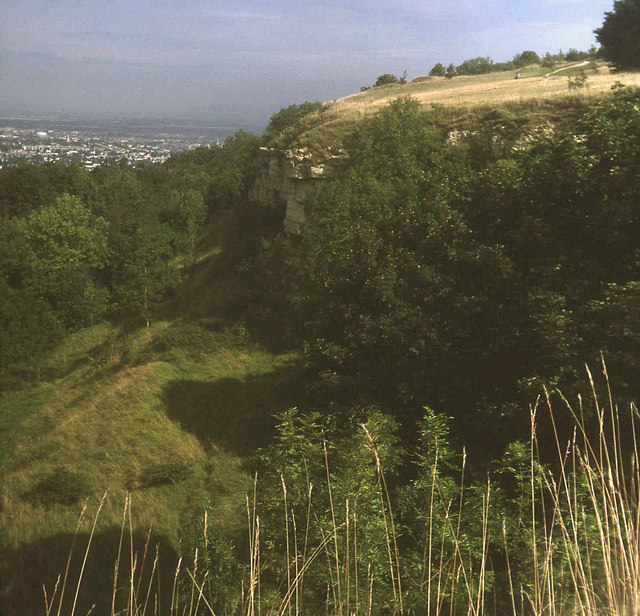
Leckhampton Hill and Charlton Kings Common
Leckhampton Hill and Charlton Kings Common (grid reference SO952187) is a 63.8-hectare (158-acre) biological and geological Site of Special Scientific...
Nearby Amenities
Located within 500m of 51.854708,-2.036251Have you been to Chatcombe Wood?
Leave your review of Chatcombe Wood below (or comments, questions and feedback).