Gallows Rough

Wood, Forest in Staffordshire Stafford

England

Gallows Rough

All Saint's Church, Milwich The first record of a church on this site is dated about 1140. The tower of the present building dates from the late 15th century, although the remainder of the church was rebuilt in the 1790s after the south walls and roof collapsed. The windows and casements look 15th century recycled.  

1857 water colour of the church 
 >> <span class="nowrap"><a title="https://www.search.staffspasttrack.org.uk/Details.aspx?&ResourceID=27995&PageIndex=4&SearchType=2&ThemeID=147" rel="nofollow ugc noopener" href="https://www.search.staffspasttrack.org.uk/Details.aspx?&ResourceID=27995&PageIndex=4&SearchType=2&ThemeID=147">Link</a><img style="margin-left:2px;" alt="External link" title="External link - shift click to open in new window" src="https://s1.geograph.org.uk/img/external.png" width="10" height="10"/></span>
All Saint's Church, Milwich Credit: Brian Deegan

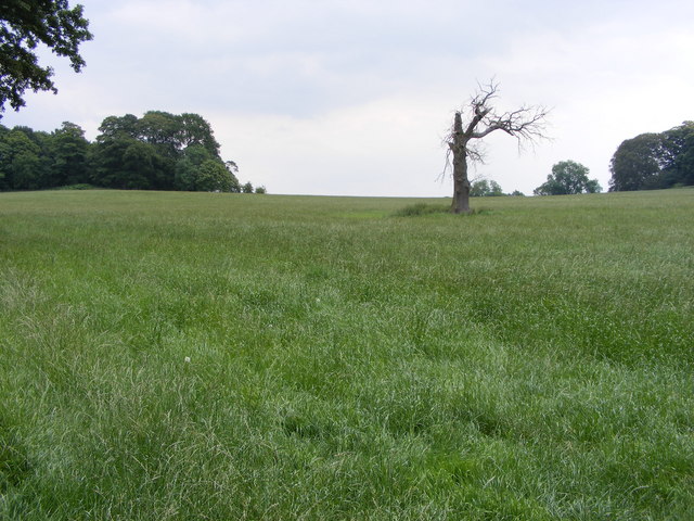
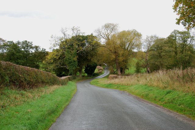
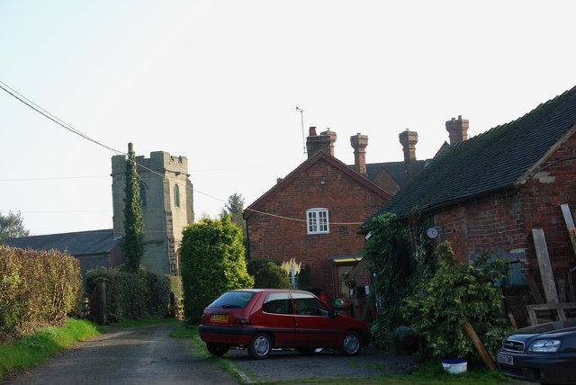
Gallows Rough is a picturesque wooded area located in Staffordshire, England. Situated amidst the rolling hills and idyllic countryside, this forested expanse is known for its natural beauty and tranquil surroundings.

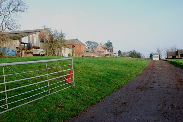
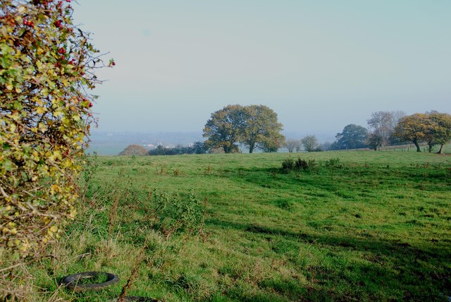
Covering an area of approximately 100 acres, Gallows Rough is predominantly characterized by its dense woodland of mixed deciduous and coniferous trees. The forest is home to a variety of tree species, including oak, beech, birch, and pine, which create a diverse and vibrant landscape throughout the year. The towering trees provide ample shade and shelter for an array of wildlife, making it a popular spot for nature enthusiasts and birdwatchers.

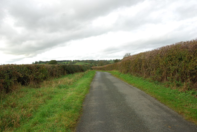
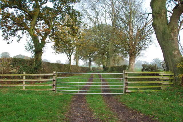
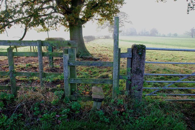
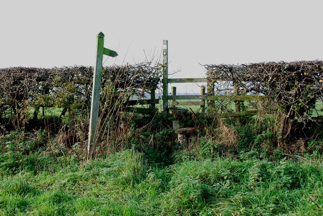
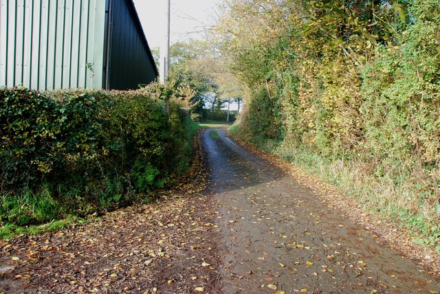
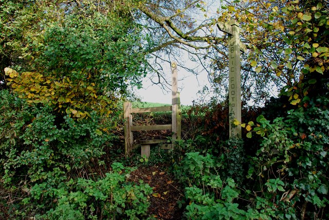
Traversing through the heart of Gallows Rough is a network of well-maintained walking paths and trails, allowing visitors to explore the forest at their own pace. These paths wind through the woodland, offering breathtaking views of the surrounding countryside and providing opportunities for peaceful strolls or invigorating hikes.

Aside from its natural beauty, Gallows Rough also boasts historical significance. The forest derived its name from the gallows that once stood in the area during medieval times. Although no longer present, the name serves as a reminder of the site's intriguing past.

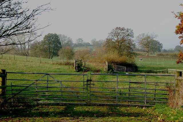
Gallows Rough is easily accessible, with ample parking facilities nearby. Whether seeking a peaceful retreat, a recreational outdoor activity, or an opportunity to connect with nature, this woodland sanctuary in Staffordshire offers a delightful escape from the hustle and bustle of everyday life.

If you have any feedback on the listing, please let us know in the comments section below.

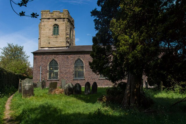
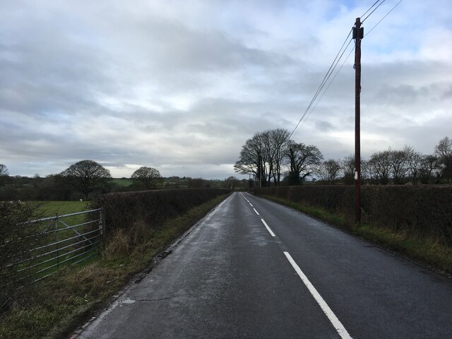
Gallows Rough Images

Images are sourced within 2km of 52.875671/-2.0404753 or Grid Reference SJ9730. Thanks to Geograph Open Source API. All images are credited.

All Saint's Church, Milwich The first record of a church on this site is dated about 1140. The tower of the present building dates from the late 15th century, although the remainder of the church was rebuilt in the 1790s after the south walls and roof collapsed. The windows and casements look 15th century recycled.  

1857 water colour of the church 
 >> <span class="nowrap"><a title="https://www.search.staffspasttrack.org.uk/Details.aspx?&ResourceID=27995&PageIndex=4&SearchType=2&ThemeID=147" rel="nofollow ugc noopener" href="https://www.search.staffspasttrack.org.uk/Details.aspx?&ResourceID=27995&PageIndex=4&SearchType=2&ThemeID=147">Link</a><img style="margin-left:2px;" alt="External link" title="External link - shift click to open in new window" src="https://s1.geograph.org.uk/img/external.png" width="10" height="10"/></span>
All Saint's Church, Milwich
The first record of a church on this site is dated about 1140. The tower of the present building dates from the late 15th century, although the remainder of the church was rebuilt in the 1790s after the south walls and roof collapsed. The windows and casements look 15th century recycled. 1857 water colour of the church >> LinkExternal link
B5027 near Milwich
B5027 near Milwich
Sandon Lone Tree A view in the Sandon Estate.
Sandon Lone Tree
A view in the Sandon Estate.
Impressive Entrance to Fradswell Hall Farm
The Road from Fradswell to Wallbrook road
Wallbrook  Road as it drops down to the Wall Brook Take a look at the hedges in this photo, they have been cut to perfection.
Wallbrook Road as it drops down to the Wall Brook
Take a look at the hedges in this photo, they have been cut to perfection.
Coton Green Farm, Coton The lovely red brick buildings on this farm look as if they have been converted to housing.
Coton Green Farm, Coton
The lovely red brick buildings on this farm look as if they have been converted to housing.
Burnt out remains of The Wheatsheaf at Coton
Farm Track and Footpath This footpath crosses other footpaths on its way towards Fradswell, joining the Wallbrook road at the Hawkins lane junction.     <a title="https://www.geograph.org.uk/photo/2700053" href="https://www.geograph.org.uk/photo/2700053">Link</a>
Farm Track and Footpath
This footpath crosses other footpaths on its way towards Fradswell, joining the Wallbrook road at the Hawkins lane junction. Link
Stone Circles Challenge Footpath near the Gamkeepers cottage The Stone Circles Challenge joins twenty or more walks around the Stone area.   <span class="nowrap"><a title="http://www.bbc.co.uk/stoke/content/articles/2008/07/14/stone_circles_feature.shtml" rel="nofollow ugc noopener" href="http://www.bbc.co.uk/stoke/content/articles/2008/07/14/stone_circles_feature.shtml">Link</a><img style="margin-left:2px;" alt="External link" title="External link - shift click to open in new window" src="https://s1.geograph.org.uk/img/external.png" width="10" height="10"/></span>
Stone Circles Challenge Footpath near the Gamkeepers cottage
The Stone Circles Challenge joins twenty or more walks around the Stone area. LinkExternal link
The Doglands Farm  near Fradswell
The Doglands Farm near Fradswell
Footpath with Stile on the Wallbrook Road near Fradswell This Footpath leads to the Stone Circles Challenge Footpath.       <a title="https://www.geograph.org.uk/photo/2698679" href="https://www.geograph.org.uk/photo/2698679">Link</a>       <a title="https://www.geograph.org.uk/photo/2698694" href="https://www.geograph.org.uk/photo/2698694">Link</a>
Footpath with Stile on the Wallbrook Road near Fradswell
This Footpath leads to the Stone Circles Challenge Footpath. Link Link
Short Footpath at Coton This footpath only cuts the corner off the field.
Short Footpath at Coton
This footpath only cuts the corner off the field.
Farm Buildings on Mill Lane, Coton Looking up Mill Lane towards Coton, this is about as far as you can go down this lane without a 4x4.
Farm Buildings on Mill Lane, Coton
Looking up Mill Lane towards Coton, this is about as far as you can go down this lane without a 4x4.
Footpath on a bank in Mill Lane This footpath goes to join Wallbrook Road.
Footpath on a bank in Mill Lane
This footpath goes to join Wallbrook Road.
Access to Milwich Church
Farm Track into the Valley near Milwich
Across Pasture towards Dayhills
Show me another place!

Gallows Rough is located at Grid Ref: SJ9730 (Lat: 52.875671, Lng: -2.0404753)

Administrative County: Staffordshire

District: Stafford

Police Authority: Staffordshire

What 3 Words

///ally.prospered.haggle. Near Great Haywood, Staffordshire

Related Wikis

Milwich

Milwich is a village and a civil parish in the English county of Staffordshire. == Location == The village is 7.8 miles (12.6 km) north east of the town...

Fradswell

Fradswell is a village in Staffordshire, England, approximately 7 miles (10 km) north-east of the town of Stafford and 7 miles (11 km) north of Colwich...

Coton Hill, Staffordshire

Coton Hill is a hamlet in the English county of Staffordshire. Coton Hill is located east of the village of Milwich on the B5027 road between Stone and...

Gayton, Staffordshire

Gayton is a small rural village and civil parish in Staffordshire, located approximately 1 mile from the A51 between Stone and Stafford. In 2001 it had...

Sandon Hall

Sandon Hall is a 19th-century country mansion, the seat of the Earl of Harrowby, at Sandon, Staffordshire, 5 miles (8.0 km) northeast of Stafford. It is...

Sandon, Staffordshire

Sandon is a village in the civil parish of Sandon and Burston, in the Stafford district, in the county of Staffordshire, England. It is about 4.5 miles...

Sandon railway station

Sandon railway station was a railway station opened by the North Staffordshire Railway to serve the village of Sandon, Staffordshire, England. For some...

Salt, Staffordshire

Salt is a village in the Borough of Stafford in Staffordshire, England. It is three miles northeast of Stafford situated half a mile southwest of the A51...

Have you been to Gallows Rough?

Leave your review of Gallows Rough below (or comments, questions and feedback).