Bednall Belt Plantation

Wood, Forest in Staffordshire South Staffordshire

England

Bednall Belt Plantation

'Turn right along the track' The Heart of England Way at Brocton Field, Cannock Chase. The quote comes from Staffordshire County Council's 'Cannock Chase Circular Walk'.
'Turn right along the track' Credit: Christine Johnstone

Bednall Belt Plantation is a picturesque woodland located in the county of Staffordshire, England. Situated near the village of Bednall, the plantation covers an area of approximately 30 acres and is renowned for its diverse range of plant and animal species.

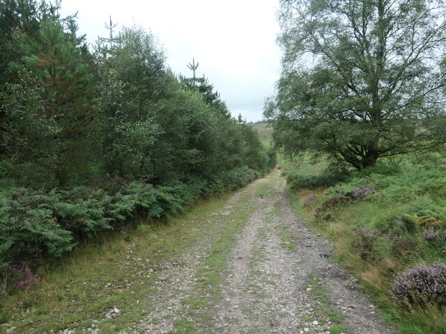
The woodland is primarily composed of deciduous trees, including oak, ash, and beech, which create a dense canopy that offers shade and shelter to a variety of wildlife. The forest floor is covered in a rich carpet of mosses, ferns, and wildflowers, adding to the area's natural beauty.

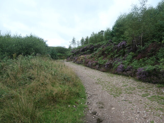
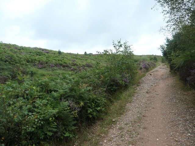
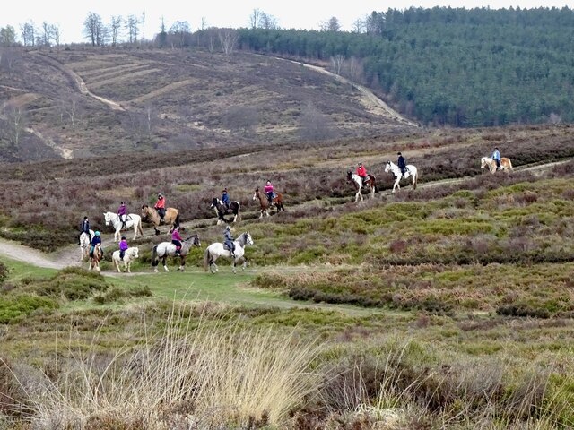
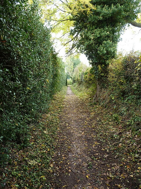
Bednall Belt Plantation is a popular destination for nature enthusiasts and hikers due to its well-maintained network of walking trails. These trails wind through the plantation, allowing visitors to explore the woodland's different habitats and enjoy the peaceful surroundings. Along the way, visitors may encounter a range of bird species, such as woodpeckers, warblers, and owls, as well as small mammals like foxes, badgers, and squirrels.

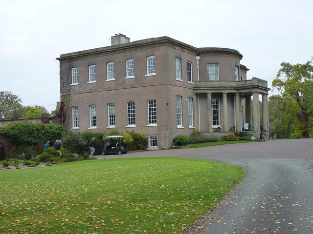
The woodland is also known for its historical significance. It was once part of the extensive estate of Bednall Hall, a grand country house that dates back to the 18th century. Today, only remnants of the hall remain, but the plantation stands as a testament to the area's rich past.

Overall, Bednall Belt Plantation offers a tranquil escape from the bustling modern world, providing visitors with an opportunity to connect with nature and experience the beauty of Staffordshire's woodlands.

If you have any feedback on the listing, please let us know in the comments section below.

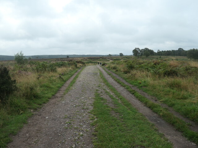
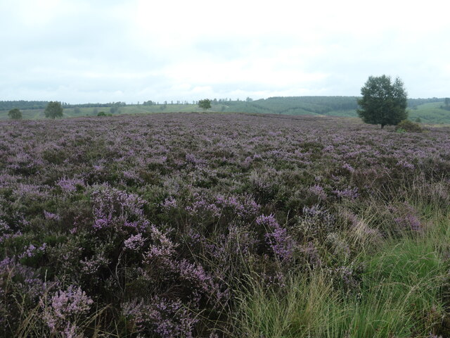
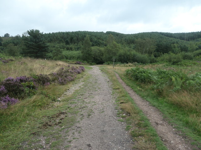
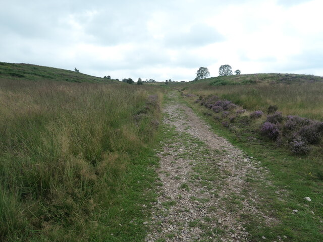
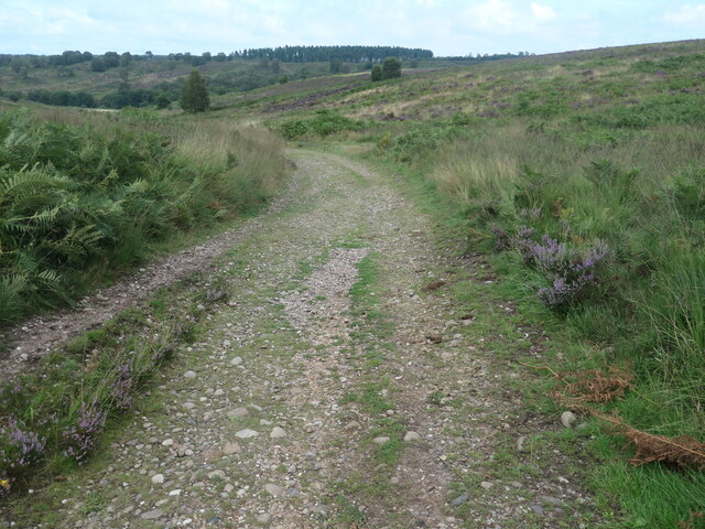
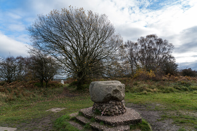
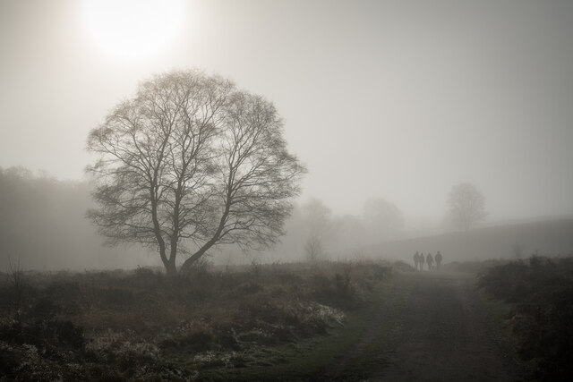
Bednall Belt Plantation Images

Images are sourced within 2km of 52.75905/-2.0418926 or Grid Reference SJ9717. Thanks to Geograph Open Source API. All images are credited.
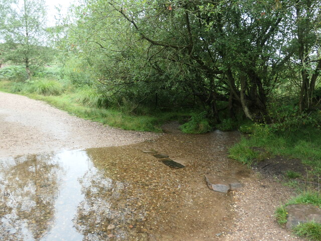
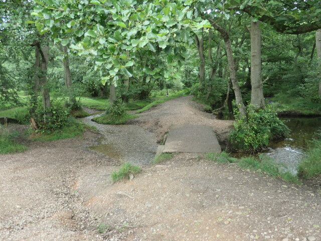
'Turn right along the track' The Heart of England Way at Brocton Field, Cannock Chase. The quote comes from Staffordshire County Council's 'Cannock Chase Circular Walk'.
'Turn right along the track'
The Heart of England Way at Brocton Field, Cannock Chase. The quote comes from Staffordshire County Council's 'Cannock Chase Circular Walk'.
Flowering heather, Cannock Chase The heathland west of Sher Brook.
Flowering heather, Cannock Chase
The heathland west of Sher Brook.
'You reach a fingerpost at the bottom of the slope' Bridleway descending east towards Sher Brook. The quote comes from Staffordshire County Council's 'Cannock Chase Circular Walk'.
'You reach a fingerpost at the bottom of the slope'
Bridleway descending east towards Sher Brook. The quote comes from Staffordshire County Council's 'Cannock Chase Circular Walk'.
Sher Brook, at the stepping stones Looking upstream [locally south].
Sher Brook, at the stepping stones
Looking upstream [locally south].
'Take the stepping stones over Sher Brook' Hardly necessary when the water level is this low. The quote comes from Staffordshire County Council's 'Cannock Chase Circular Walk'.
'Take the stepping stones over Sher Brook'
Hardly necessary when the water level is this low. The quote comes from Staffordshire County Council's 'Cannock Chase Circular Walk'.
'The left-hand path around the edge of the pine plantation' On the east bank of Sher Brook. The quote comes from Staffordshire County Council's 'Cannock Chase Circular Walk'.
'The left-hand path around the edge of the pine plantation'
On the east bank of Sher Brook. The quote comes from Staffordshire County Council's 'Cannock Chase Circular Walk'.
'Walk straight on up the hill' Bridleway on the boundary of a pine plantation. The quote comes from Staffordshire County Council's 'Cannock Chase Circular Walk'.
'Walk straight on up the hill'
Bridleway on the boundary of a pine plantation. The quote comes from Staffordshire County Council's 'Cannock Chase Circular Walk'.
Bridleway on northern boundary of a pine plantation Looking west, towards the valley of Sher Brook.
Bridleway on northern boundary of a pine plantation
Looking west, towards the valley of Sher Brook.
Sher Brook, looking downstream [locally north] The brook is a civil parish boundary here, between Brocton and Rugeley.
Sher Brook, looking downstream [locally north]
The brook is a civil parish boundary here, between Brocton and Rugeley.
'Cross the footbridge over Sher Brook' A parish boundary on Cannock Chase. The quote comes from Staffordshire County Council's 'Cannock Chase Circular Walk'.
'Cross the footbridge over Sher Brook'
A parish boundary on Cannock Chase. The quote comes from Staffordshire County Council's 'Cannock Chase Circular Walk'.
'Ascend the hill following ... the Staffordshire Way' The western side of Sherbrook valley, Cannock Chase. The quote comes from Staffordshire County Council's 'Cannock Chase Circular Walk'.
'Ascend the hill following ... the Staffordshire Way'
The western side of Sherbrook valley, Cannock Chase. The quote comes from Staffordshire County Council's 'Cannock Chase Circular Walk'.
Staffordshire Way, Cannock Chase Descending Sherbrook Banks.
Staffordshire Way, Cannock Chase
Descending Sherbrook Banks.
Glacial Boulder and Trigpoint, Cannock Chase Set upon a pedestal of Triassic pebbles, the boulder is of Granite which is out of place here on the Moorlands of South Staffordshire, there being no granite outcrops anywhere in the Midlands. The boulder has been matched however, to the intrusive rock outcrop at Cniffel in Dumfries & Galloway, which is over 170 miles (280km) away from the Chase in the Southern Uplands of Scotland. This granite 'erratic' is marked on the OS map as the "Glacial Boulder", which gives some idea how it got here. The boulder was ripped from its parent mountain sometime during the last Ice-Age, and was transported by glacial action to its present location, the journey perhaps taking ten-thousand years during which the edges of the rock were worn down, giving its present rounded appearance.
Glacial Boulder and Trigpoint, Cannock Chase
Set upon a pedestal of Triassic pebbles, the boulder is of Granite which is out of place here on the Moorlands of South Staffordshire, there being no granite outcrops anywhere in the Midlands. The boulder has been matched however, to the intrusive rock outcrop at Cniffel in Dumfries & Galloway, which is over 170 miles (280km) away from the Chase in the Southern Uplands of Scotland. This granite 'erratic' is marked on the OS map as the "Glacial Boulder", which gives some idea how it got here. The boulder was ripped from its parent mountain sometime during the last Ice-Age, and was transported by glacial action to its present location, the journey perhaps taking ten-thousand years during which the edges of the rock were worn down, giving its present rounded appearance.
Misty Staffordshire Way, Brocton, Cannock Chase The staffs way looking pretty in the mist and sun.
Misty Staffordshire Way, Brocton, Cannock Chase
The staffs way looking pretty in the mist and sun.
Horse riding on Sherbrook Banks
Southern end of the bridleway The track from Walton on the Hill, which runs in a generally southeasterly direction, emerges here onto Sawpit Lane at Brocton.
Southern end of the bridleway
The track from Walton on the Hill, which runs in a generally southeasterly direction, emerges here onto Sawpit Lane at Brocton.
Dovecot at Brocton Hall In the grounds of Brocton Hall, which is now the golf club, this 18th century former dovecot was Grade II listed <span class="nowrap"><a title="https://britishlistedbuildings.co.uk/101116692-dovecote-at-brocton-hall-brocton#.Yle9wOjMI2w" rel="nofollow ugc noopener" href="https://britishlistedbuildings.co.uk/101116692-dovecote-at-brocton-hall-brocton#.Yle9wOjMI2w">Link</a><img style="margin-left:2px;" alt="External link" title="External link - shift click to open in new window" src="https://s1.geograph.org.uk/img/external.png" width="10" height="10"/></span> & <span class="nowrap"><a title="https://historicengland.org.uk/listing/the-list/list-entry/1116692" rel="nofollow ugc noopener" href="https://historicengland.org.uk/listing/the-list/list-entry/1116692">Link</a><img style="margin-left:2px;" alt="External link" title="External link - shift click to open in new window" src="https://s1.geograph.org.uk/img/external.png" width="10" height="10"/></span> in 1968.
Dovecot at Brocton Hall
In the grounds of Brocton Hall, which is now the golf club, this 18th century former dovecot was Grade II listed LinkExternal link & LinkExternal link in 1968.
Brocton Hall Originally the 18th century hall had a third floor, but this was lost to a fire around the start of WWII, and was never rebuilt. The hall is now the clubhouse of the golf club, and attracted a Grade II listing <span class="nowrap"><a title="https://britishlistedbuildings.co.uk/101116688-brocton-hall-brocton#.Yle__ujMI2w" rel="nofollow ugc noopener" href="https://britishlistedbuildings.co.uk/101116688-brocton-hall-brocton#.Yle__ujMI2w">Link</a><img style="margin-left:2px;" alt="External link" title="External link - shift click to open in new window" src="https://s1.geograph.org.uk/img/external.png" width="10" height="10"/></span> & <span class="nowrap"><a title="https://historicengland.org.uk/listing/the-list/list-entry/1116688" rel="nofollow ugc noopener" href="https://historicengland.org.uk/listing/the-list/list-entry/1116688">Link</a><img style="margin-left:2px;" alt="External link" title="External link - shift click to open in new window" src="https://s1.geograph.org.uk/img/external.png" width="10" height="10"/></span> in 1953.
Brocton Hall
Originally the 18th century hall had a third floor, but this was lost to a fire around the start of WWII, and was never rebuilt. The hall is now the clubhouse of the golf club, and attracted a Grade II listing LinkExternal link & LinkExternal link in 1953.
Show me another place!

Bednall Belt Plantation is located at Grid Ref: SJ9717 (Lat: 52.75905, Lng: -2.0418926)

Administrative County: Staffordshire

District: South Staffordshire

Police Authority: Staffordshire

What 3 Words

///clinic.pods.genius. Near Colwich, Staffordshire

Related Wikis

Brocton, Staffordshire

Brocton is a village and civil parish in the English county of Staffordshire. It is within the borough of Stafford. The village describes itself as the...

Bednall

Bednall is a village in Staffordshire, England. == Location == Bednall lies somewhat remote from main roads, in dairy-farming countryside some 2.5 miles...

Cannock Chase German Military Cemetery

The Cannock Chase German Military Cemetery (grid reference SJ984157) is on Cannock Chase, Staffordshire, England. The cemetery contains nearly 5,000 burials...

Acton Trussell and Bednall

Acton Trussell and Bednall is a civil parish in the South Staffordshire district of Staffordshire, England. As the name indicates, it contains the two...

Cannock Chase

Cannock Chase (grid reference SK000165), often referred to locally as The Chase, is a mixed area of countryside in the county of Staffordshire, England...

Milford, Staffordshire

Milford is a village in the county of Staffordshire, England. It lies at the edge of Cannock Chase, on the A513 road between Stafford and Rugeley. Just...

Teddesley Hall

Teddesley Hall was a large Georgian English country house located close to Penkridge in Staffordshire, now demolished. It was the main seat firstly of...

Milford Hall

Milford Hall is a privately owned 18th-century English country house at Milford, near Stafford. It is the family seat of the Levett Haszard family and...

Nearby Amenities

Located within 500m of 52.75905,-2.0418926
The data included in this document is from www.openstreetmap.org. The data is made available under ODbL.

Have you been to Bednall Belt Plantation?

Leave your review of Bednall Belt Plantation below (or comments, questions and feedback).