Gibbons Cliff Wood
Wood, Forest in Cheshire
England
Gibbons Cliff Wood
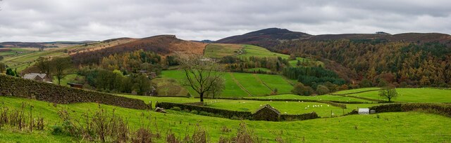
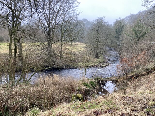
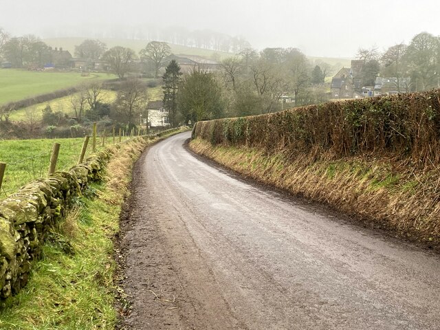
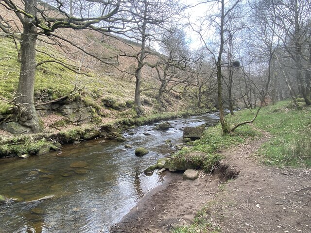
Gibbons Cliff Wood is a picturesque woodland located in the county of Cheshire, England. Nestled within the larger Delamere Forest, this particular area is known for its serene beauty and diverse wildlife. The wood covers an expansive area, stretching across rolling hills and valleys, providing visitors with a truly immersive nature experience.
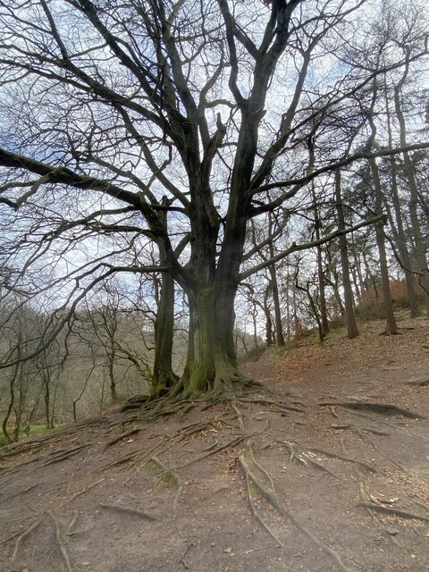
As one explores Gibbons Cliff Wood, they will encounter a variety of tree species, including oak, birch, and beech, which create a lush and vibrant canopy overhead. The forest floor is adorned with a rich carpet of ferns, wildflowers, and mosses, adding to the overall enchantment of the surroundings.
Wildlife is abundant in Gibbons Cliff Wood, with numerous bird species making their homes among the treetops. Visitors may catch a glimpse of woodpeckers, buzzards, and owls, while lucky observers may even spot a red squirrel or roe deer. The woodland also boasts a diverse range of insect life, from butterflies and dragonflies to beetles and spiders.
For those who enjoy outdoor activities, Gibbons Cliff Wood offers a network of footpaths and trails that wind through the forest, allowing visitors to explore the area at their own pace. The wood is also a popular destination for nature lovers and photographers, providing ample opportunities to capture the beauty of the surrounding landscape.
Overall, Gibbons Cliff Wood in Cheshire is a tranquil and biodiverse woodland that offers a peaceful retreat for those seeking to connect with nature. With its stunning scenery, abundant wildlife, and recreational opportunities, this forest is a true gem within the heart of England.
If you have any feedback on the listing, please let us know in the comments section below.
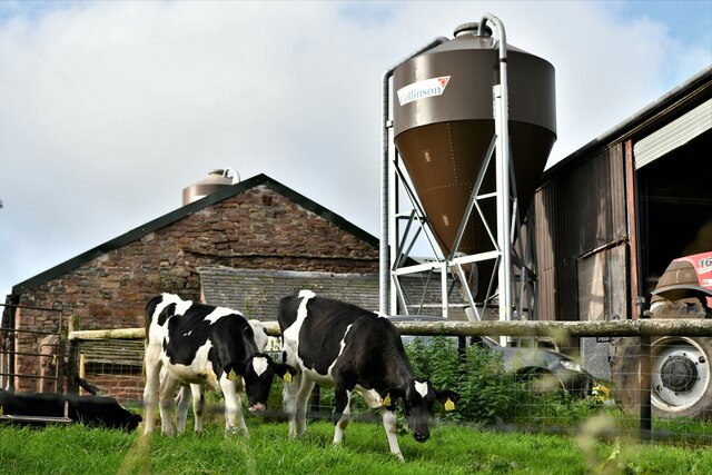
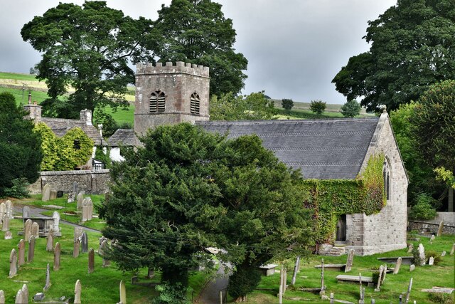
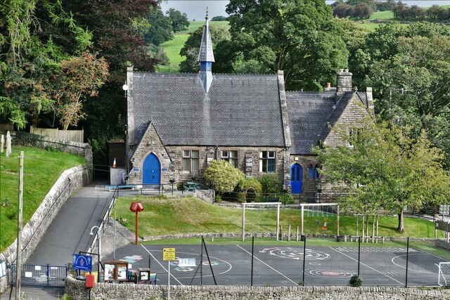
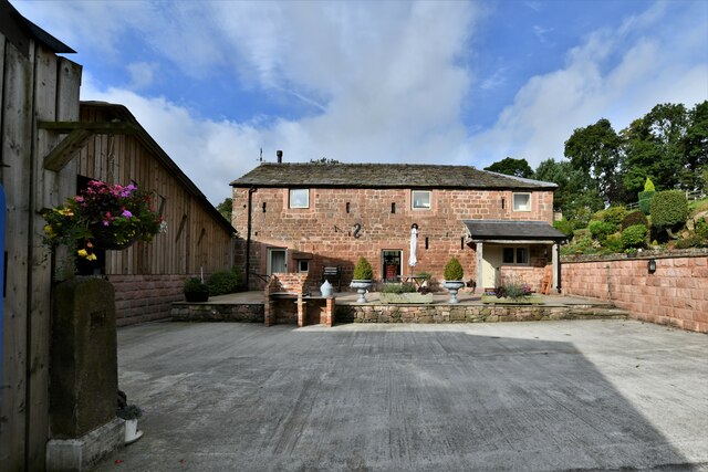
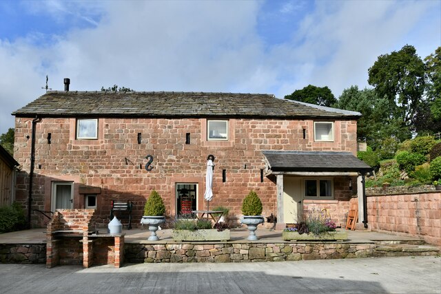
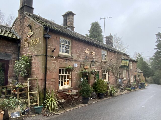
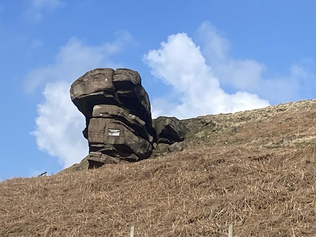
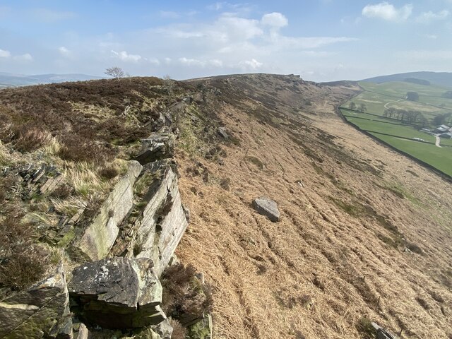
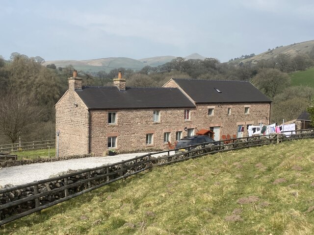
Gibbons Cliff Wood Images
Images are sourced within 2km of 53.195826/-2.0430533 or Grid Reference SJ9766. Thanks to Geograph Open Source API. All images are credited.

Gibbons Cliff Wood is located at Grid Ref: SJ9766 (Lat: 53.195826, Lng: -2.0430533)
Unitary Authority: Cheshire East
Police Authority: Cheshire
What 3 Words
///drape.apartment.vitals. Near Macclesfield, Cheshire
Nearby Locations
Related Wikis

Allgreave
Allgreave is a village in Cheshire, England. It lies on the A54 (Buxton to Congleton) road, near to the border with Staffordshire. Allgreave Methodist...

Wincle
Wincle is a village and civil parish in the Cheshire East district of Cheshire, England. It holds parish meetings, rather than parish council meetings...
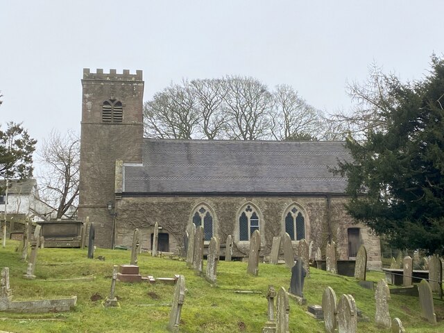
St Michael's Church, Wincle
St Michael's Church is in the village of Wincle, Cheshire, England. It is an active Anglican parish church in the diocese of Chester, the archdeaconry...

Lud's Church
Lud's Church (sometimes written as Ludchurch) is a deep chasm penetrating the Millstone Grit bedrock created by a massive landslip on the hillside above...

Swythamley Hall
Swythamley Hall is a late 18th-century country house near Leek, Staffordshire which has been converted into four separate residences. It is a Grade II...

Wildboarclough
Wildboarclough ( WIL-bə-kluf) is a village in the civil parish of Macclesfield Forest and Wildboarclough, in the Cheshire East district, in the ceremonial...

St Saviour's Church, Wildboarclough
St Saviour's Church is in the village of Wildboarclough, Cheshire, England. It is an active Anglican parish church in the deanery of Macclesfield, the...

Crag Hall
Crag Hall is a country house east of the village of Wildboarclough, Cheshire, England and owned by the Earl of Derby. == Description == It was built in...
Related Videos
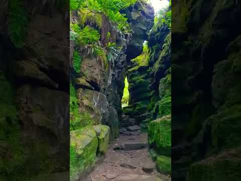
Lud's Church - Peak District National Park - UK | Solo Traveler - Let's Explore The World Together
Lud's Church - Peak District National Park - UK | Solo Traveler - Let's Explore The World Together DJI Mini 2 Cinematic 4k DJI Air ...

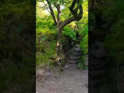
Hidden Place - Lud's Church - Peak District - UK | Solo Traveler
Hidden Place - Lud's Church - Peak District National Park - UK | Solo Traveler - Let's Explore The World Together DJI Mini 2 ...

Nearby Amenities
Located within 500m of 53.195826,-2.0430533Have you been to Gibbons Cliff Wood?
Leave your review of Gibbons Cliff Wood below (or comments, questions and feedback).