Crawley Plantation
Wood, Forest in Northumberland
England
Crawley Plantation

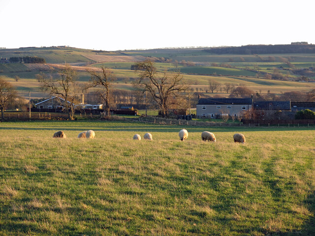
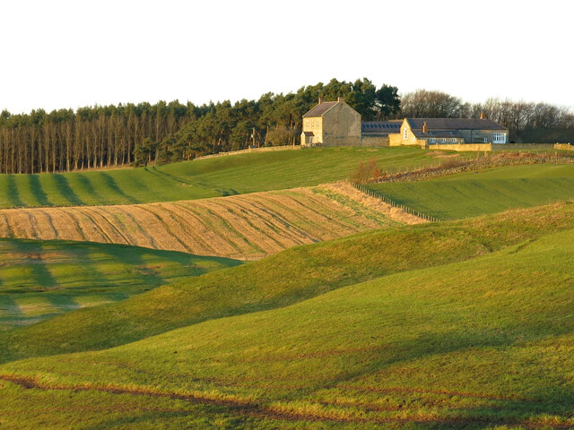
Crawley Plantation, located in Northumberland, is a picturesque woodland area that covers an expansive area of land. This plantation is nestled in the heart of the county, surrounded by lush greenery and rolling hills, offering visitors a serene and tranquil escape from the bustling city life.
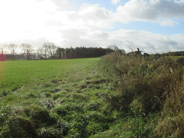
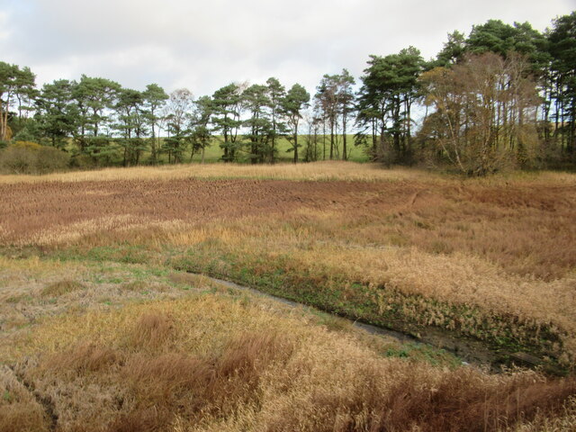
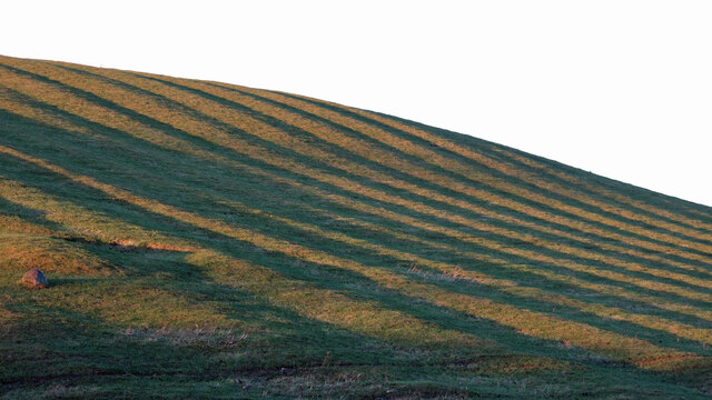
The plantation boasts a diverse ecosystem, with a variety of tree species that create a dense forest canopy. Towering oak, beech, and birch trees dominate the landscape, providing a habitat for an array of wildlife. Visitors can expect to spot deer, foxes, and a multitude of bird species while exploring the woodland trails.
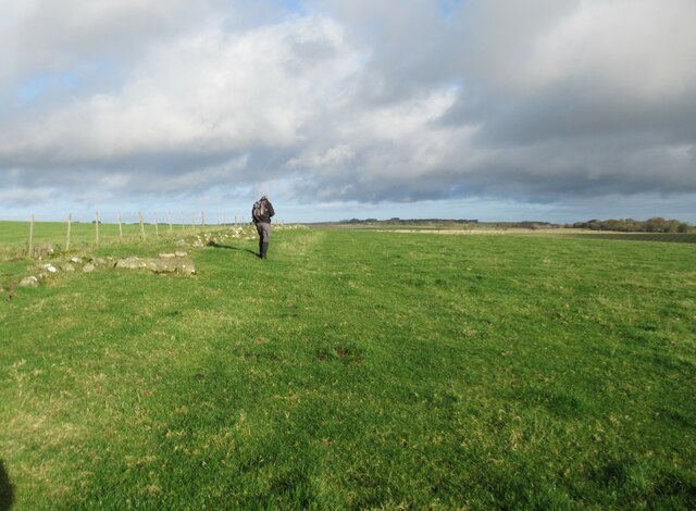
The plantation is a popular destination for nature enthusiasts and hikers, with a network of well-maintained footpaths that wind through the forest. These trails offer breathtaking views of the surrounding countryside, making it an ideal location for leisurely walks or more challenging hikes.
Crawley Plantation holds historical significance as well, with a rich heritage dating back several centuries. The land was originally used for timber production, providing wood for the local community and neighboring regions. Remnants of this history can still be seen today, with remnants of old sawmills and charcoal pits scattered throughout the plantation.
The management of the plantation is focused on sustainable forestry practices, ensuring the preservation of the natural environment and the continuation of its diverse ecosystem. Additionally, educational programs and guided tours are available to educate visitors about the importance of conservation and the history of the area.
In conclusion, Crawley Plantation in Northumberland is a captivating woodland retreat, offering a combination of natural beauty, historical significance, and recreational opportunities. Whether it's a peaceful stroll through the forest or an immersive exploration of its rich heritage, this plantation has something to offer for everyone.
If you have any feedback on the listing, please let us know in the comments section below.
Crawley Plantation Images
Images are sourced within 2km of 55.077877/-2.0470049 or Grid Reference NY9775. Thanks to Geograph Open Source API. All images are credited.


Crawley Plantation is located at Grid Ref: NY9775 (Lat: 55.077877, Lng: -2.0470049)
Unitary Authority: Northumberland
Police Authority: Northumbria
What 3 Words
///tastes.impulsive.register. Near Birtley, Northumberland
Nearby Locations
Related Wikis

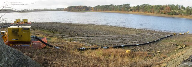
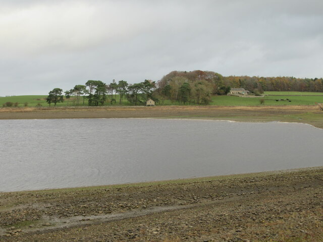
Hallington Reservoirs
Hallington Reservoirs are located near the small village of Colwell, Northumberland, England on the B6342 road off the A68 road, and 7 miles (11 km) north...

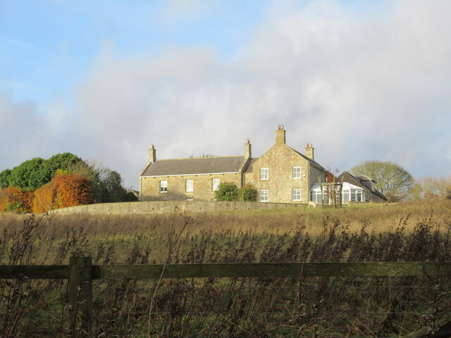
Hallington, Northumberland
Hallington is a hamlet and former civil parish about 9 miles from Hexham, now in the parish of Whittington, in the county of Northumberland, England. In...

Colwell, Northumberland
Colwell is a hamlet in Northumberland, England. It is about 12 miles (19 km) to the north of Hexham. == Governance == Colwell is in the parliamentary constituency...

Dere Street
Dere Street or Deere Street is a modern designation of a Roman road which ran north from Eboracum (York), crossing the Stanegate at Corbridge (Hadrian...
Nearby Amenities
Located within 500m of 55.077877,-2.0470049Have you been to Crawley Plantation?
Leave your review of Crawley Plantation below (or comments, questions and feedback).