Afflington Wood
Wood, Forest in Dorset
England
Afflington Wood
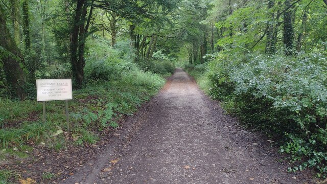
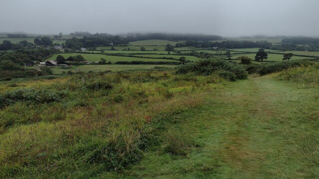
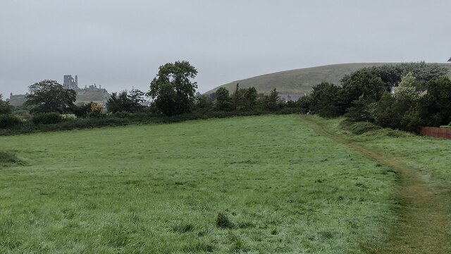
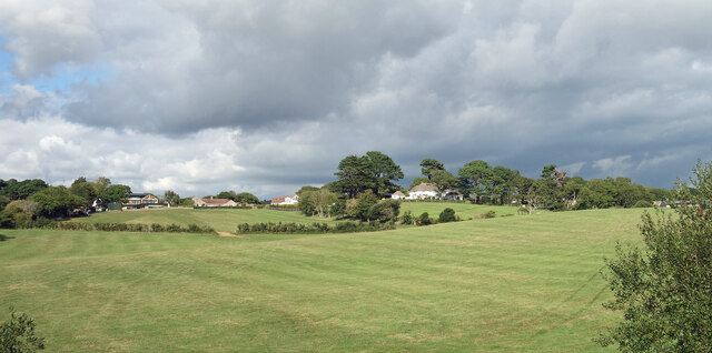
Afflington Wood is a dense and ancient woodland located in the county of Dorset, England. Covering an area of approximately 500 acres, it is a popular destination for nature enthusiasts and outdoor adventurers alike. The woodland is situated near the village of Corfe Castle and is known for its stunning natural beauty and diverse flora and fauna.
The wood consists primarily of broadleaf trees, including oak, beech, and ash, which create a lush and vibrant canopy overhead. The forest floor is adorned with a variety of wildflowers and ferns, adding to the picturesque scenery. Afflington Wood is also home to several streams and small ponds, providing a habitat for a range of aquatic plants and animals.
The wood is rich in wildlife, making it a haven for nature lovers. Visitors may spot a variety of bird species, including woodpeckers, owls, and buzzards, as well as mammals such as deer, foxes, and badgers. The presence of these animals adds to the charm and tranquility of the woodland.
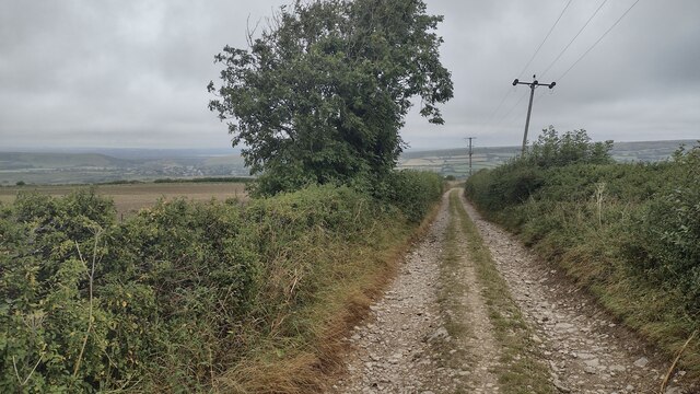
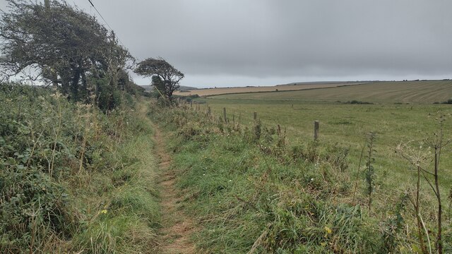
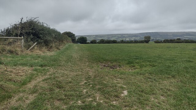
For those seeking outdoor activities, Afflington Wood offers a network of well-maintained trails and paths, perfect for walking, hiking, or cycling. These paths meander through the wood, allowing visitors to explore its hidden corners and discover its natural treasures.
Afflington Wood is managed by the Dorset Wildlife Trust, ensuring its preservation and protection for future generations to enjoy. The trust organizes educational events and guided walks, providing an opportunity for visitors to learn more about the wood's ecology and conservation efforts.
Overall, Afflington Wood is a captivating and enchanting woodland, offering a peaceful retreat for nature enthusiasts and a place of beauty and tranquility in the heart of Dorset.
If you have any feedback on the listing, please let us know in the comments section below.
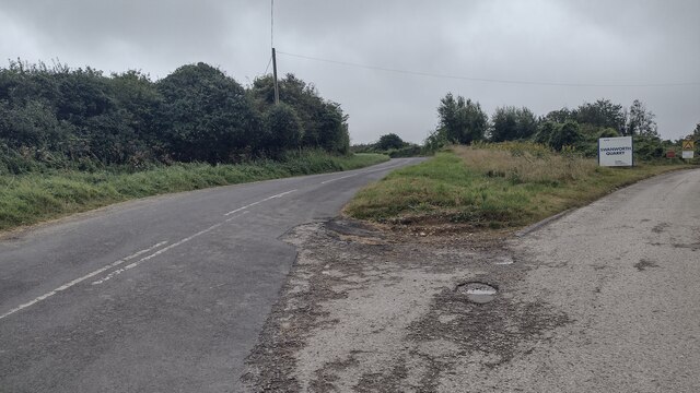
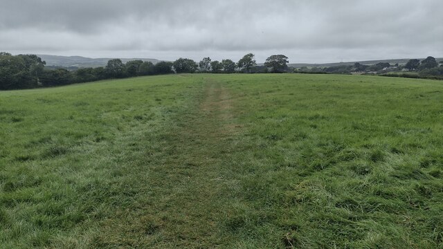
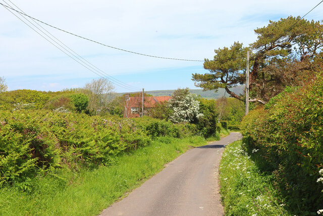
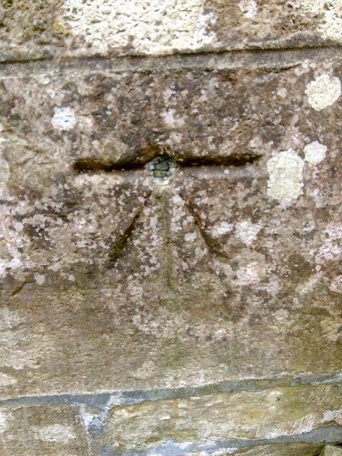
Afflington Wood Images
Images are sourced within 2km of 50.617729/-2.0432003 or Grid Reference SY9779. Thanks to Geograph Open Source API. All images are credited.
Afflington Wood is located at Grid Ref: SY9779 (Lat: 50.617729, Lng: -2.0432003)
Unitary Authority: Dorset
Police Authority: Dorset
What 3 Words
///uses.arrival.instilled. Near Corfe Castle, Dorset
Nearby Locations
Related Wikis

Scoles Manor
Scoles Manor, also known as Scoles Farm House, is former farmhouse and a Grade II* listed building, two miles from Corfe Castle in Dorset, England. It...

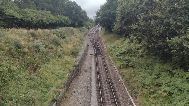
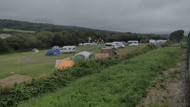
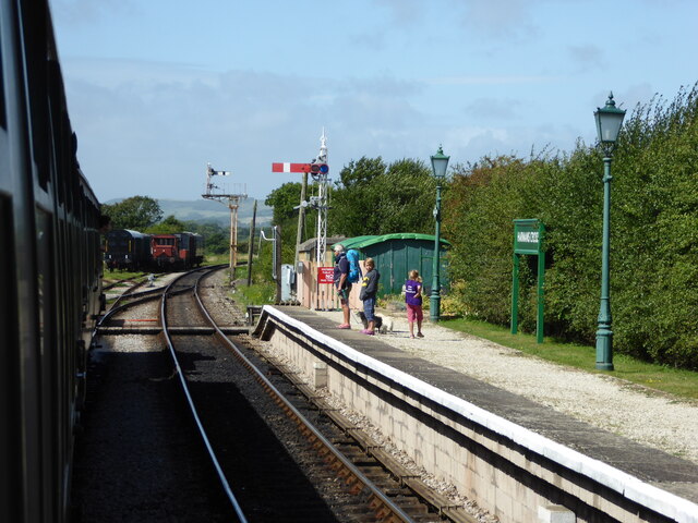
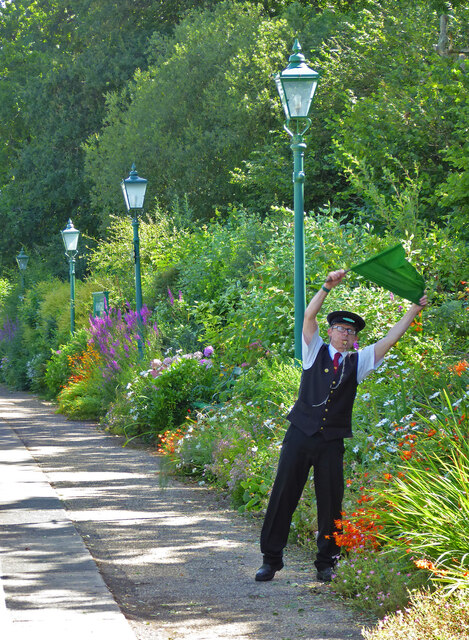
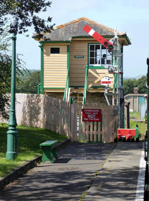
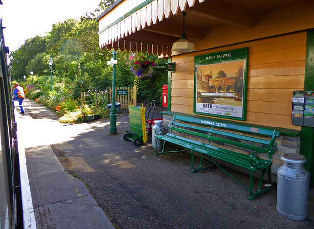
Harman's Cross railway station
Harman's Cross railway station is a railway station located in the village of Harman's Cross, on the Isle of Purbeck in the English county of Dorset. It...

Kingston, Purbeck
Kingston is a small village on the Isle of Purbeck in the county of Dorset in southern England. == Location == Kingston is situated about two miles south...

Harman's Cross
Harman's Cross is a small village on the Isle of Purbeck in Dorset, England. It is situated on the A351 road between Swanage and Corfe Castle. The village...

Woolgarston
Woolgarston is a village in Dorset, England. == External links == Media related to Woolgarston at Wikimedia Commons
Blashenwell Farm Pit
Blashenwell Farm Pit (grid reference SY952805) is an 11.4 hectare geological Site of Special Scientific Interest in Dorset, United Kingdom, notified in...

Square and Compass, Worth Matravers
The Square and Compass is a Grade II listed public house in Worth Matravers, Dorset. Built in the 18th century as a pair of cottages before becoming a...
Acton, Dorset
Acton is a hamlet in the parish of Langton Matravers, on the Isle of Purbeck, in the county of Dorset in the south of England. The hamlet of Acton was...
Related Videos

Royal Plaque found at Dorset’s Historic Well! #travel #dorset #history
I found this plaque last year whilst walking down West Street in Corfe Castle. I wasn't looking for it intentionally but I think it's a ...

Solo Hiking & Wild Camping Along England's Jurassic Coast
In May 2022, I escaped London for 24 hours and hit up a section of the Jurassic Coast. Hiking alone from Worth Matravers, I wild ...

The Walking Dad - Episode 14 - Corfe Castle
In this episode the family and I walk to Corfe Castle in Dorset.

Walking Corfe Castle route
A brilliant walk we parked up at the national Trust car park in Corfe Castle and then from there headed towards cofre about 500 ...
Nearby Amenities
Located within 500m of 50.617729,-2.0432003Have you been to Afflington Wood?
Leave your review of Afflington Wood below (or comments, questions and feedback).