Turn Croft Plantation

Wood, Forest in Yorkshire Craven

England

Turn Croft Plantation

Gate leading onto Rylstone Fell Just below High Bark, the bridleway leads through this gate and heads east over lonely moorland to Halton Heights
Gate leading onto Rylstone Fell Credit: Chris Heaton

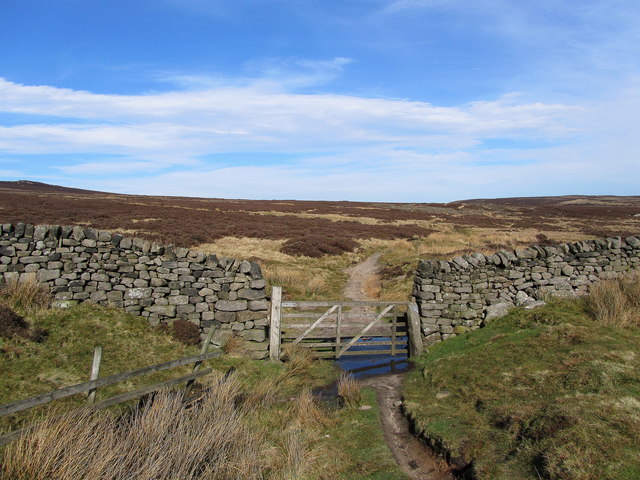
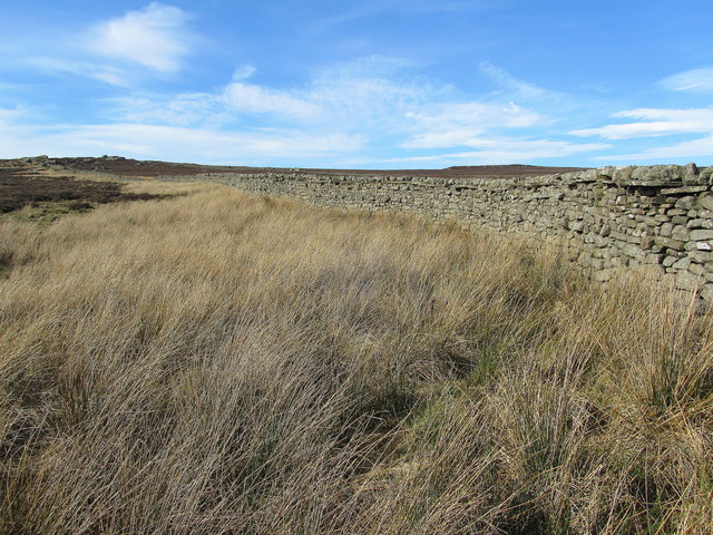
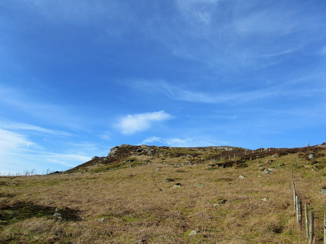
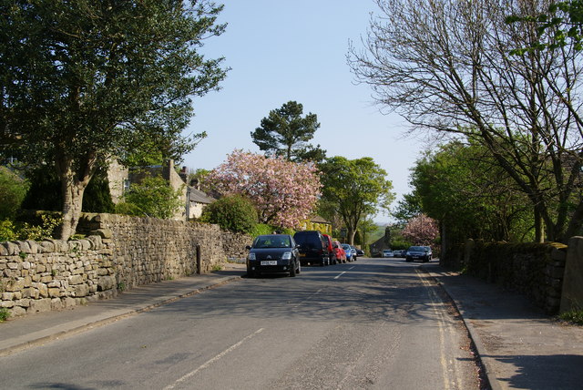
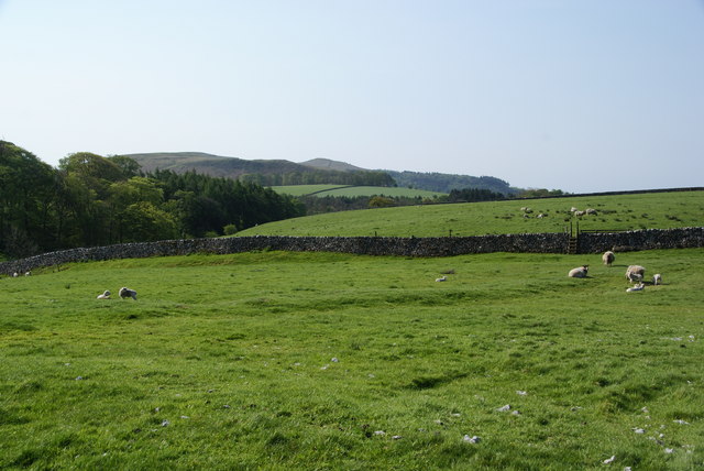
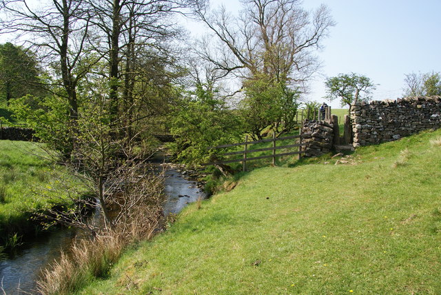
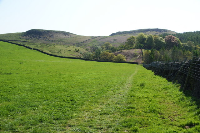
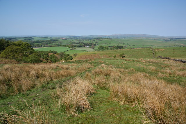
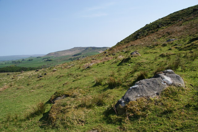
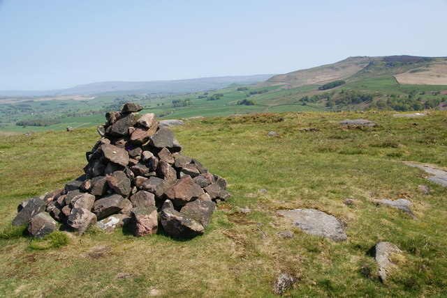
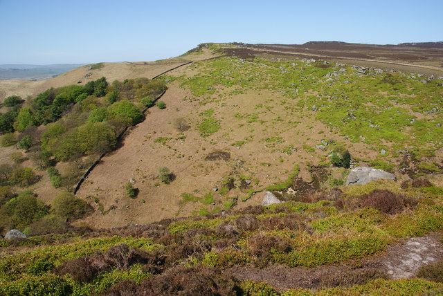
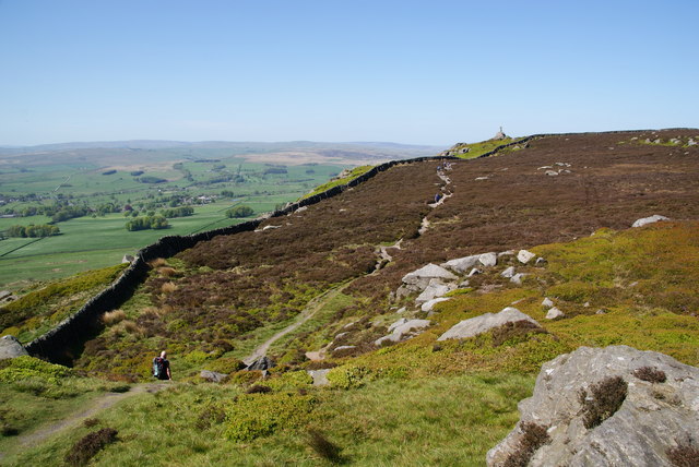
Turn Croft Plantation is a sprawling woodland located in the heart of Yorkshire, England. Covering an extensive area, it is characterized by its majestic trees and diverse flora. The plantation is nestled within a picturesque landscape, surrounded by rolling hills and meandering streams, creating a tranquil and idyllic environment.

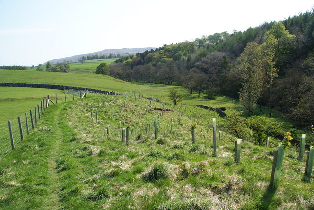
The woodland is primarily composed of a variety of tree species, including oak, beech, and birch, which create a dense canopy overhead. These trees provide shade and shelter to an array of wildlife that call the plantation home. The forest floor is carpeted with lush vegetation, such as ferns, wildflowers, and mosses, adding to the enchanting ambiance.

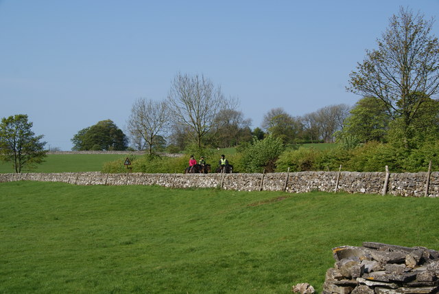
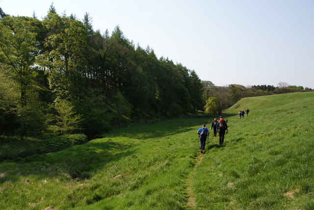
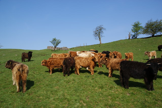
Turn Croft Plantation is a haven for nature enthusiasts and outdoor adventurers alike. Its extensive network of well-maintained trails allows visitors to explore the woodland at their own pace. The trails wind through the plantation, offering breathtaking views of the surrounding countryside and glimpses of wildlife along the way. From rare bird species to elusive mammals like deer and foxes, the plantation teems with biodiversity.

Apart from its natural beauty, Turn Croft Plantation also holds historical significance. The area was once a thriving timber industry, and remnants of old sawmills can still be found within the woodland, providing a glimpse into its past.

Overall, Turn Croft Plantation is a captivating destination that seamlessly blends natural beauty, rich biodiversity, and historical charm. It offers a serene escape from the hustle and bustle of everyday life, making it a must-visit for anyone seeking solace in nature.

If you have any feedback on the listing, please let us know in the comments section below.

Turn Croft Plantation Images

Images are sourced within 2km of 54.015418/-2.0469218 or Grid Reference SD9757. Thanks to Geograph Open Source API. All images are credited.

Gate leading onto Rylstone Fell Just below High Bark, the bridleway leads through this gate and heads east over lonely moorland to Halton Heights
Gate leading onto Rylstone Fell
Just below High Bark, the bridleway leads through this gate and heads east over lonely moorland to Halton Heights
Wall by Moorland above Waterfall Gill Stretch of wall and moorland just north of the chasm created by Waterfall Gill
Wall by Moorland above Waterfall Gill
Stretch of wall and moorland just north of the chasm created by Waterfall Gill
High Bark Craggy outcrops at the lip of the escarpment of Barden Moor, above Rylstone
High Bark
Craggy outcrops at the lip of the escarpment of Barden Moor, above Rylstone
The Angel Inn, Hetton Although it has a reputation for food and the staff wear uniforms, it still feels like a country pub and the beer is fine.
The Angel Inn, Hetton
Although it has a reputation for food and the staff wear uniforms, it still feels like a country pub and the beer is fine.
Fleets Lane, Hetton Spring blossom is in evidence, which sets off the stone nicely.
Fleets Lane, Hetton
Spring blossom is in evidence, which sets off the stone nicely.
Horse riders nearing Hetton They are riding on the lane from Flasby, which is hidden by the wall.
Horse riders nearing Hetton
They are riding on the lane from Flasby, which is hidden by the wall.
Path across the fields from Hetton The path goes towards Flasby, and further on runs much nearer to Hetton Beck, down to the left.
Path across the fields from Hetton
The path goes towards Flasby, and further on runs much nearer to Hetton Beck, down to the left.
Path by Hetton Beck This path leads eventually to Flasby.
Path by Hetton Beck
This path leads eventually to Flasby.
Young cattle near Mill Laithe These are by the footpath between Hetton and Flasby.
Young cattle near Mill Laithe
These are by the footpath between Hetton and Flasby.
New plantation above Flasby Beck The new trees will form mixed but mostly broad-leaved woodland.
New plantation above Flasby Beck
The new trees will form mixed but mostly broad-leaved woodland.
Narrow stile by Flasby Beck In the trees you can just see the bridge carrying the access track to Flasby Moor Side Farm.
Narrow stile by Flasby Beck
In the trees you can just see the bridge carrying the access track to Flasby Moor Side Farm.
Path heading for Flasby Fell The access land begins at the next wall. On the map, the path strikes further left to the gap in the wall, but most current usage keeps by the wall till later.
Path heading for Flasby Fell
The access land begins at the next wall. On the map, the path strikes further left to the gap in the wall, but most current usage keeps by the wall till later.
The lower slopes of Flasby Fell A small beck runs down here, with the potential for making the ground boggy. In the distance are the Bowland hills.
The lower slopes of Flasby Fell
A small beck runs down here, with the potential for making the ground boggy. In the distance are the Bowland hills.
The northern side of Rough Haw Beyond is Rylstone Fell.
The northern side of Rough Haw
Beyond is Rylstone Fell.
Cairn at the top of Rough Haw Rylstone Fell is behind.
Cairn at the top of Rough Haw
Rylstone Fell is behind.
Waterfall Gill The beck at the bottom of this gill is the main tributary of Eller Beck.
Waterfall Gill
The beck at the bottom of this gill is the main tributary of Eller Beck.
Waterfall Gill Beck This drains off Rylstone Fell and descends quite steeply from it.
Waterfall Gill Beck
This drains off Rylstone Fell and descends quite steeply from it.
Path to Rylstone Cross
Show me another place!

Turn Croft Plantation is located at Grid Ref: SD9757 (Lat: 54.015418, Lng: -2.0469218)

Division: West Riding

Administrative County: North Yorkshire

District: Craven

Police Authority: North Yorkshire

What 3 Words

///bloom.bronzed.narrating. Near Gargrave, North Yorkshire

Related Wikis

Cracoe

Cracoe is a small village and civil parish in the Craven district of North Yorkshire, England. It is situated near to Rylstone and about 6 miles south...

Rylstone

Rylstone is a village and civil parish in the Craven district of North Yorkshire, England. It is situated very near to Cracoe and about 6 miles south west...

Hetton, North Yorkshire

Hetton is a small Dales village in the civil parish of Hetton-cum-Bordley, in the North Yorkshire district of North Yorkshire, England, situated 5.75 miles...

St Peter's Church, Rylstone

St Peter's Church is in the village of Rylstone, North Yorkshire, England. It is an active Anglican parish church in the deanery of Skipton, the archdeaconry...

Rylstone railway station

Rylstone railway station was a railway station that served the small village of Rylstone in North Yorkshire, England. It was built by the Yorkshire Dales...

Flasby

Flasby is a hamlet in the Yorkshire Dales in North Yorkshire, England. It is one of the two settlements, with Winterburn, in the civil parish of Flasby...
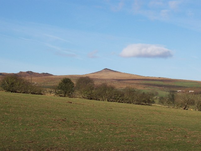
Sharp Haw

Sharp Haw is a hill on the southern edge of the Yorkshire Dales, located just within the National Park. Being the last outpost of the hills before the...

Great Britain

Great Britain is an island in the North Atlantic Ocean off the north-west coast of continental Europe, consisting of England, Scotland and Wales. With...

Nearby Amenities

Located within 500m of 54.015418,-2.0469218
The data included in this document is from www.openstreetmap.org. The data is made available under ODbL.

Have you been to Turn Croft Plantation?

Leave your review of Turn Croft Plantation below (or comments, questions and feedback).