Early Bank Wood
Wood, Forest in Cheshire
England
Early Bank Wood
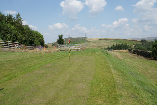
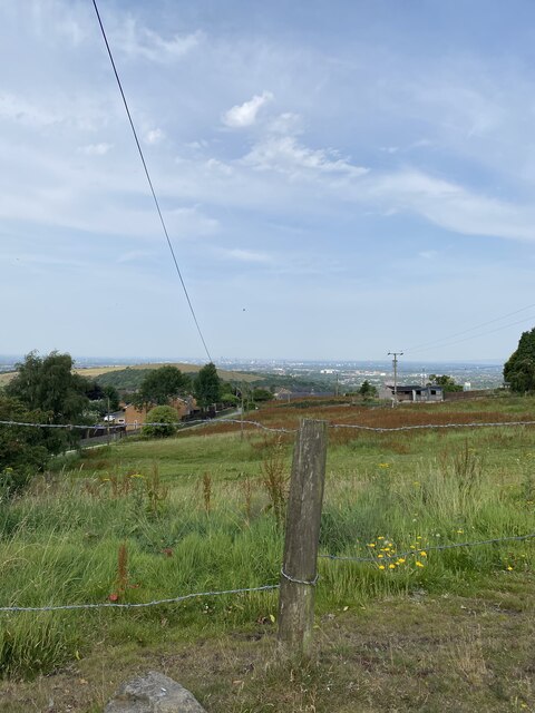
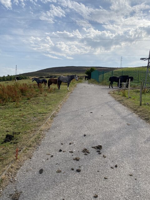
Early Bank Wood is a picturesque woodland located in the county of Cheshire, England. Situated near the small village of Wood, this forested area covers approximately 100 acres of land. The wood is known for its ancient trees, diverse wildlife, and tranquil atmosphere.
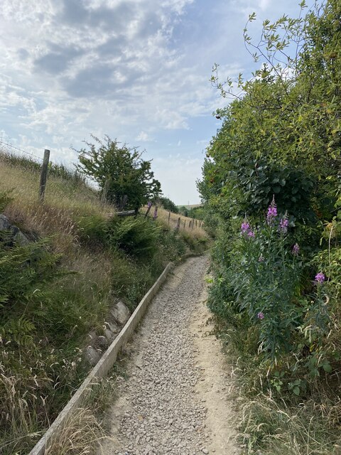
The woodland is predominantly made up of broadleaf trees, including oak, beech, and birch, which provide a dense canopy and create a rich habitat for a variety of flora and fauna. The forest floor is covered in a lush carpet of bluebells, wild garlic, and ferns, offering a beautiful display of colors during springtime.
Early Bank Wood is also known for its wildlife diversity. The forest provides a home for various bird species, including woodpeckers, owls, and songbirds. Additionally, several mammals such as deer, foxes, and squirrels can be spotted within the wood. The tranquil environment of the woodland attracts both nature enthusiasts and photographers who are keen to capture the beauty of the surroundings.
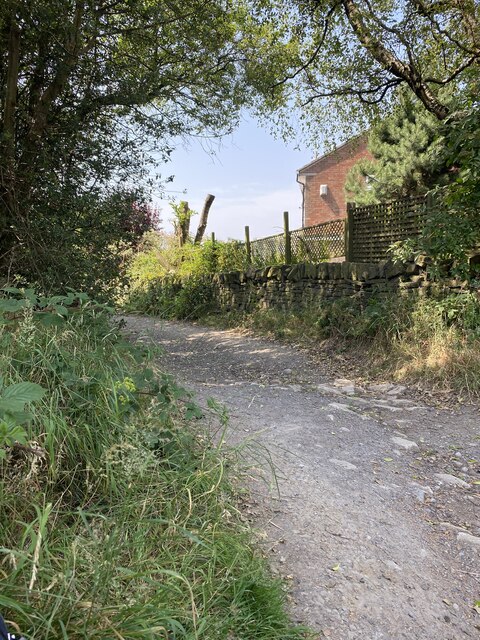
The wood is accessible to the public through a network of well-maintained footpaths, allowing visitors to explore the area and enjoy leisurely walks. The paths wind through the trees, providing glimpses of the scenic landscapes and allowing visitors to experience the peace and serenity of the woodland.
Early Bank Wood, with its ancient trees, diverse wildlife, and serene atmosphere, offers a perfect escape from the hustle and bustle of everyday life. It provides a haven for nature lovers and a place to connect with the beauty of the natural world.
If you have any feedback on the listing, please let us know in the comments section below.
Early Bank Wood Images
Images are sourced within 2km of 53.4737/-2.0466201 or Grid Reference SJ9797. Thanks to Geograph Open Source API. All images are credited.


Early Bank Wood is located at Grid Ref: SJ9797 (Lat: 53.4737, Lng: -2.0466201)
Unitary Authority: Tameside
Police Authority: Greater Manchester
What 3 Words
///movies.feels.visit. Near Stalybridge, Manchester
Nearby Locations
Related Wikis
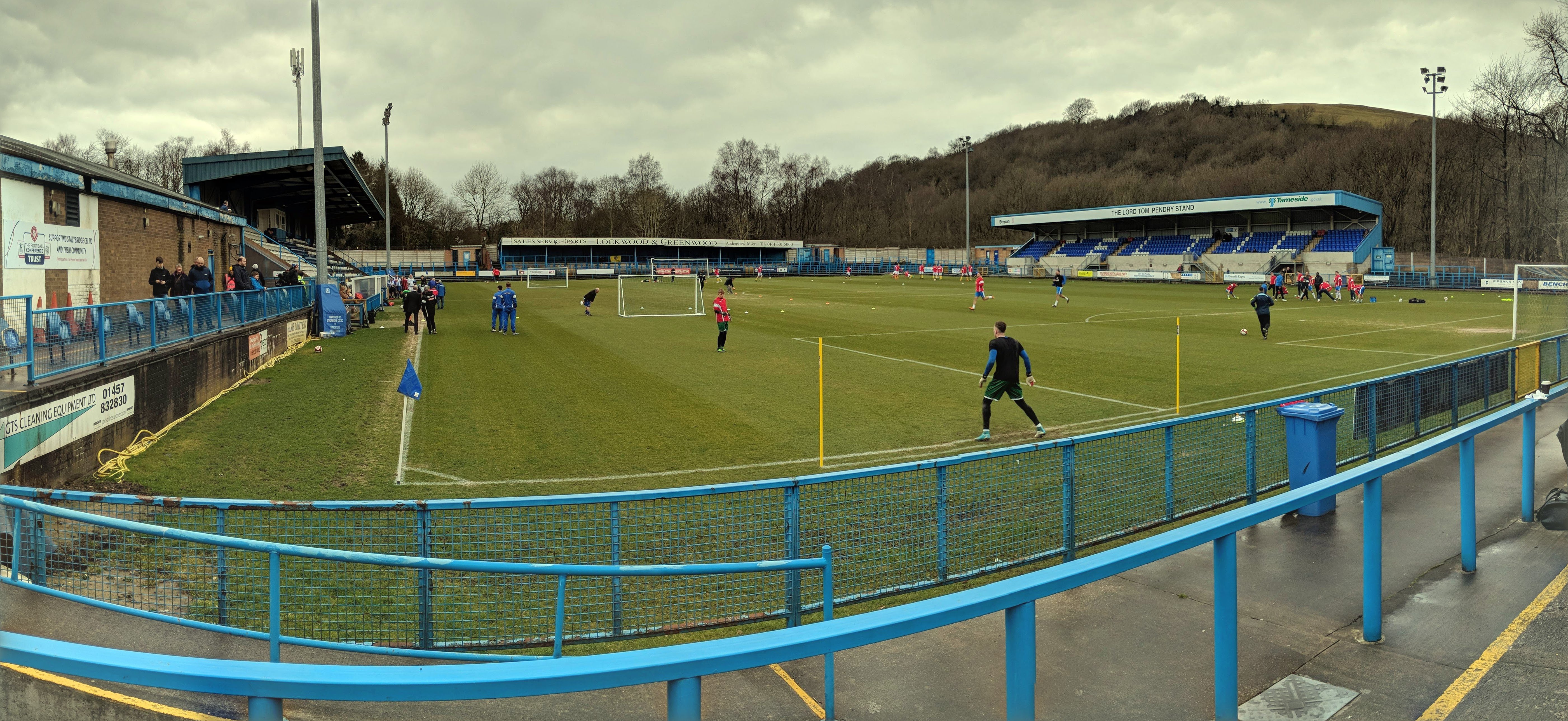
Bower Fold
Bower Fold in Stalybridge, Greater Manchester, England, is the home ground of Stalybridge Celtic football club and, intermittently, Oldham rugby league...

Eastwood Nature Reserve
Eastwood Nature Reserve is a 4.7-hectare (11.6-acre) nature reserve in Stalybridge, Tameside, England. It is managed by the Cheshire Wildlife Trust (CWT...

Gorse Hall
Gorse Hall was the name given to two large houses in Stalybridge, Greater Manchester, England, on a hill bordering Dukinfield (now in Tameside, but until...
Dukinfield / Stalybridge (ward)
Dukinfield / Stalybridge is an electoral ward of Tameside, England. It is represented in Westminster by Jonathan Reynolds Labour Co-operative MP for Stalybridge...

Matley
Matley is a semi-rural area of Greater Manchester, England, between Stalybridge, Hyde and Dukinfield. Matley was a township of Mottram in Longdendale,...

Stalybridge
Stalybridge () is a town in Tameside, Greater Manchester, England, with a population of 23,731 at the 2011 Census.Historically divided between Cheshire...
Shaw Hall factory
Shaw Hall factory was a 19th century cotton mill in lower Matley, Hyde, Greater Manchester in which nearly 200 people worked. The mill is marked as Shawhall...

Stalybridge Town Hall
Stalybridge Town Hall was a municipal building in Stamford Street, Stalybridge, Greater Manchester, England. The building, which was the meeting place...
Nearby Amenities
Located within 500m of 53.4737,-2.0466201Have you been to Early Bank Wood?
Leave your review of Early Bank Wood below (or comments, questions and feedback).