Park Plantation

Wood, Forest in Durham

England

Park Plantation

Weardale around Eastgate
Weardale around Eastgate Credit: Mike Quinn

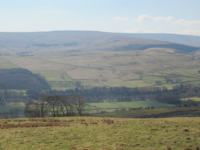
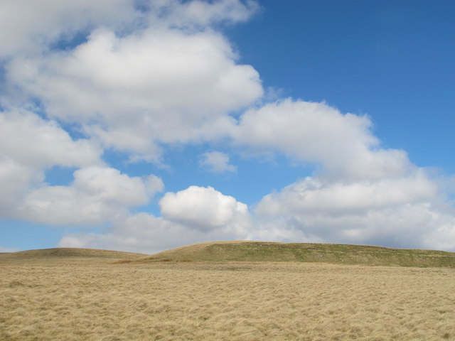
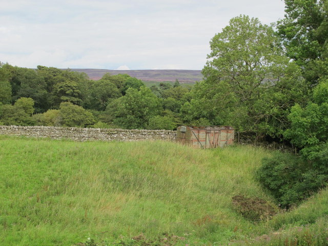
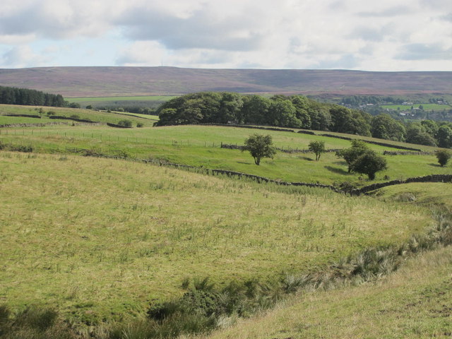
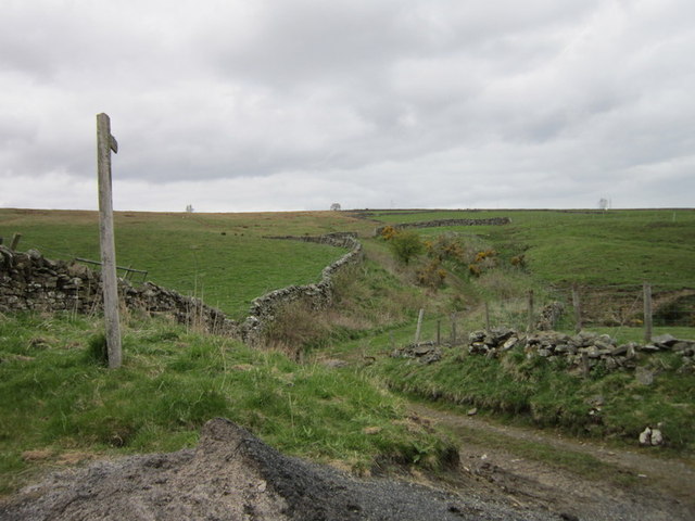
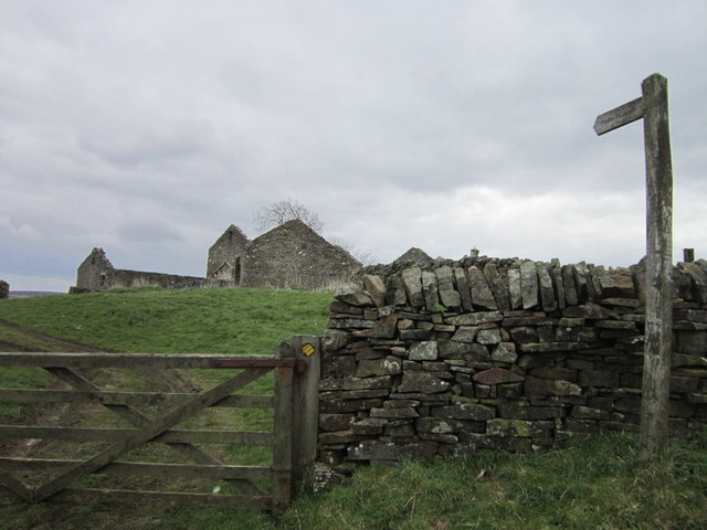
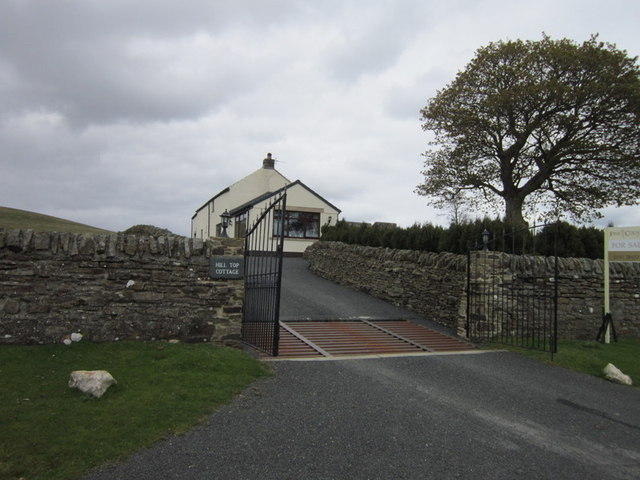
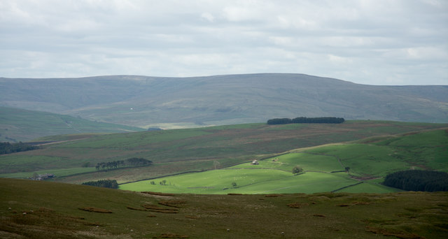
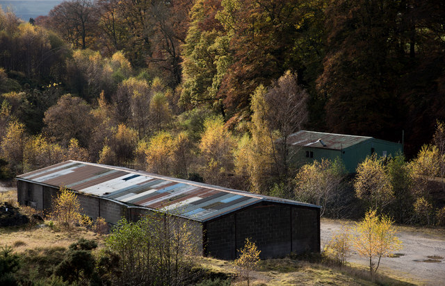
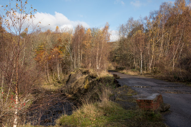
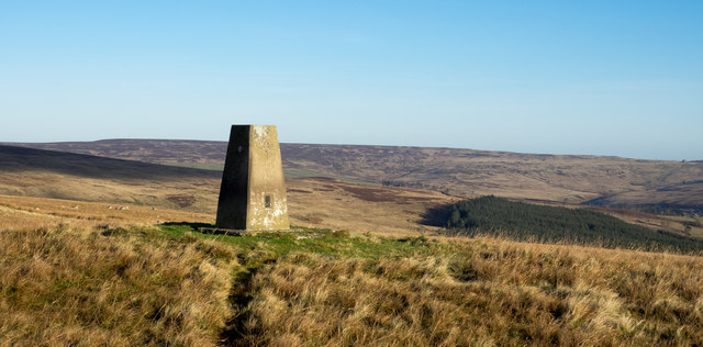
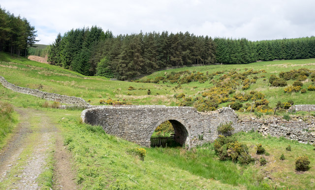
Park Plantation is a picturesque woodland area located in Durham, England. Covering a vast area, the plantation is predominantly made up of dense forests and tall, majestic trees, creating a serene and tranquil environment for visitors to explore and enjoy. The plantation's primary tree species include oak, beech, and pine, which contribute to the rich biodiversity found within the area.

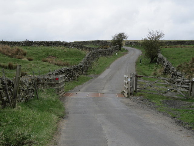
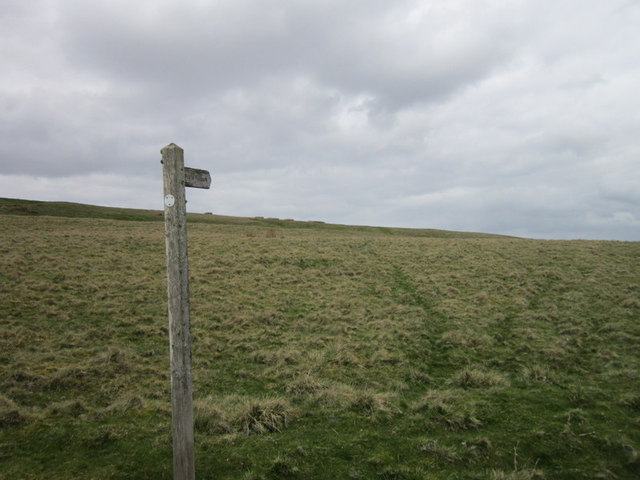
The plantation offers a variety of walking trails and paths, making it an ideal destination for nature lovers and outdoor enthusiasts. Visitors can expect to encounter an array of wildlife, including squirrels, rabbits, and a diverse range of bird species. The peaceful atmosphere and natural beauty of Park Plantation make it a popular spot for birdwatching and photography.

Additionally, the plantation is well-maintained, with clear signposting and information boards placed strategically throughout the area. These provide visitors with interesting facts about the flora and fauna found within the plantation, enhancing the educational experience.

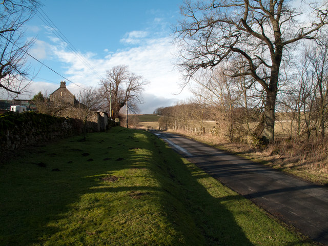
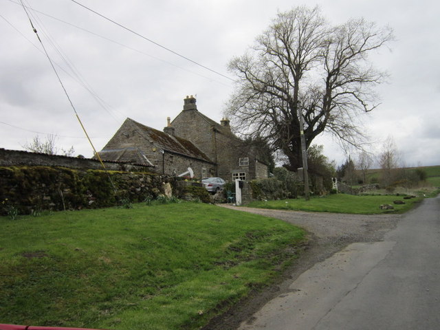
Park Plantation is easily accessible, with ample parking facilities available nearby. The plantation is open to the public throughout the year, allowing visitors to experience the ever-changing beauty of the woodland in different seasons. Whether it's a leisurely stroll, a family picnic, or a nature walk, Park Plantation offers a delightful escape from the hustle and bustle of city life, providing a serene and enchanting natural retreat for all to enjoy.

If you have any feedback on the listing, please let us know in the comments section below.

Park Plantation Images

Images are sourced within 2km of 54.76484/-2.0484111 or Grid Reference NY9641. Thanks to Geograph Open Source API. All images are credited.

Weardale around Eastgate
Bewdley Plain and Black Hill
East Bewdley
East Bewdley
Old railway goods van near Greenhead Farm The location of this old railway goods van is shown in <a href="https://www.geograph.org.uk/photo/2559305">NY9739 : The valley of Allerton Burn near Greenhead Farm</a>.
Old railway goods van near Greenhead Farm
The location of this old railway goods van is shown in NY9739 : The valley of Allerton Burn near Greenhead Farm.
The valley of Allerton Burn near Greenhead Farm Shows the location of <a href="https://www.geograph.org.uk/photo/2559299">NY9739 : Old railway goods van near Greenhead Farm</a>.
The valley of Allerton Burn near Greenhead Farm
Minor road passing Greenhead Farm The road pictured here leaves the A689 in Weardale just west of Stanhope and climbs across the valley's northern slope reaching quite high on it before descending into Rook Hope, a tributary valley to Weardale itself.
Minor road passing Greenhead Farm
The road pictured here leaves the A689 in Weardale just west of Stanhope and climbs across the valley's northern slope reaching quite high on it before descending into Rook Hope, a tributary valley to Weardale itself.
Allerton Riggs
Allerton Riggs
Greenhead Farm
Greenhead Farm
A path at Allerton Riggs
A path at Bewdley
A path at Bewdley
A cattle grid near Bewdley
A path at Bewdley Plain
Hill Top Cottage
Hill Top Cottage
Slope descending from Long Hill The view is from a cairn, west from the high point of the moorland summit, Long Hill. Beyond, the sunlit ground is on the far side of Rook Hope and most distant are Fendrith Hill and Chapel Fell, seen across both Rook Hope and Weardale.
Slope descending from Long Hill
The view is from a cairn, west from the high point of the moorland summit, Long Hill. Beyond, the sunlit ground is on the far side of Rook Hope and most distant are Fendrith Hill and Chapel Fell, seen across both Rook Hope and Weardale.
Disused buildings at Stanhopeburn Mine The buildings are certainly disused as far as mining is concerned but some might still be in use for other purposes.
Disused buildings at Stanhopeburn Mine
The buildings are certainly disused as far as mining is concerned but some might still be in use for other purposes.
Road endangered by Stanhope Burn - update 2 Shadows in the foreground of the image do not aid interpretation but almost two years on from the photographer's first update image  the site report has to be that there has been no significant loss to the road surface.
Road endangered by Stanhope Burn - update 2
Shadows in the foreground of the image do not aid interpretation but almost two years on from the photographer's first update image the site report has to be that there has been no significant loss to the road surface.
Trig point on Crow Coal Hill - 2 The trig point, (flush bracket number S6627), with the hollow of the valley of Stanhope Burn beyond. The rather undistinguished high ground on the skyline is Horseshoe Hill.
Trig point on Crow Coal Hill - 2
The trig point, (flush bracket number S6627), with the hollow of the valley of Stanhope Burn beyond. The rather undistinguished high ground on the skyline is Horseshoe Hill.
Bridge over Reahope Burn - 2 The Bridge appears to be in good condition but for some loss of parapet stones but there's also some collapsing of the road on the north side.
Bridge over Reahope Burn - 2
The Bridge appears to be in good condition but for some loss of parapet stones but there's also some collapsing of the road on the north side.
Show me another place!

Park Plantation is located at Grid Ref: NY9641 (Lat: 54.76484, Lng: -2.0484111)

Unitary Authority: County Durham

Police Authority: Durham

What 3 Words

///puzzles.sweetened.boom. Near Stanhope, Co. Durham

Nearby Locations

Park Plantation

Related Wikis

Heathery Burn Cave

Heathery Burn Cave is a cave near Stanhope, County Durham, England, in which a large collection of Late Bronze Age weapons and tools was discovered and...

Greenfoot Quarry

Greenfoot Quarry is a Site of Special Scientific Interest in the Wear Valley district of west County Durham, England. It is a disused quarry, situated...

Rookhope

Rookhope is a village in the civil parish of Stanhope, in County Durham, England. A former lead and fluorspar mining community, it first existed as a group...

Crawley railway station (Durham)

Crawley railway station served the village of Crawleyside, County Durham, England, from 1845 to 1846 on the Stanhope and Tyne Railway. == History == The...

Crawleyside

Crawleyside is a village in the civil parish of Stanhope, in County Durham, England. It is situated to the north of Stanhope, in Weardale. In the 2001...

Horsley Hall

Horsley Hall is a 17th-century country house, now in use as a hotel, near Stanhope, County Durham, England. It is a Grade II listed building. The manor...

Eastgate, County Durham

Eastgate is a village in the civil parish of Stanhope, in County Durham, England. It is situated in Weardale, a few miles west of Stanhope. In the 2001...

Eastgate railway station

Eastgate railway station, also known as Eastgate-in-Weardale, served the village of Eastgate in County Durham, North East England from 1895 to 1953 as...

Nearby Amenities

Located within 500m of 54.76484,-2.0484111
Barrier: entrance
Image: https://www.geograph.org.uk/photo/550461
Lat/Long: 54.7664707/-2.0520405
Ford: yes
Lat/Long: 54.766505/-2.0521098
Disused: yes
Man Made: mineshaft
Lat/Long: 54.7683061/-2.0517692
Ford: yes
Lat/Long: 54.7636222/-2.0546608
Ford: yes
Lat/Long: 54.7617922/-2.0540558
Ford: yes
Lat/Long: 54.7635338/-2.0419519
The data included in this document is from www.openstreetmap.org. The data is made available under ODbL.

Have you been to Park Plantation?

Leave your review of Park Plantation below (or comments, questions and feedback).