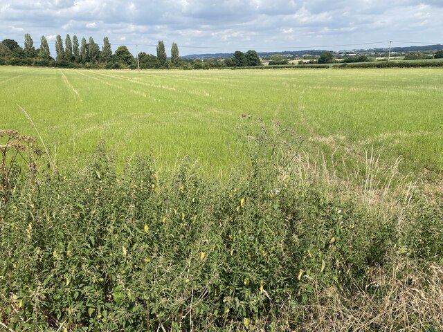
New Plantation

Wood, Forest in Wiltshire

England

New Plantation

Farm building at Penrose
Farm building at Penrose Credit: Alan Hughes

The requested URL returned error: 429 Too Many Requests

If you have any feedback on the listing, please let us know in the comments section below.

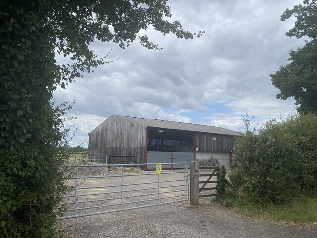
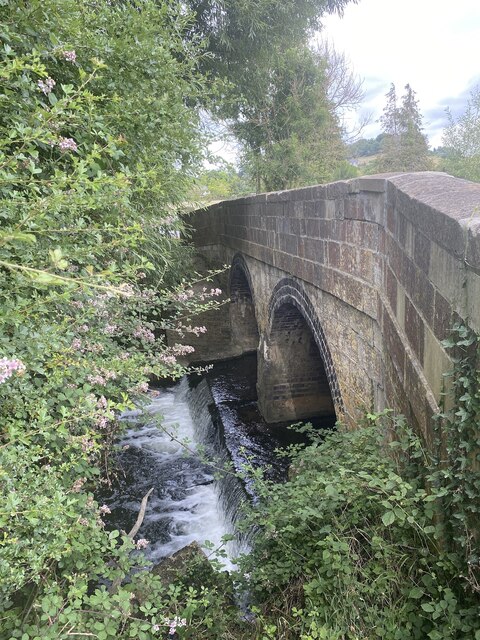
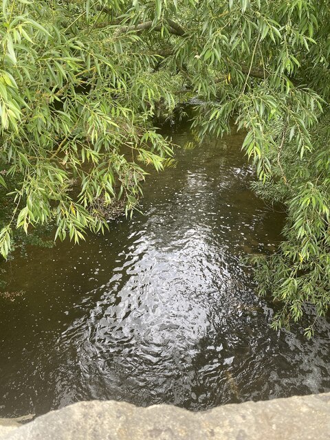
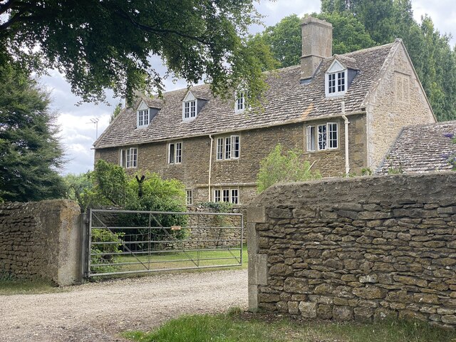
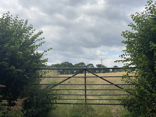
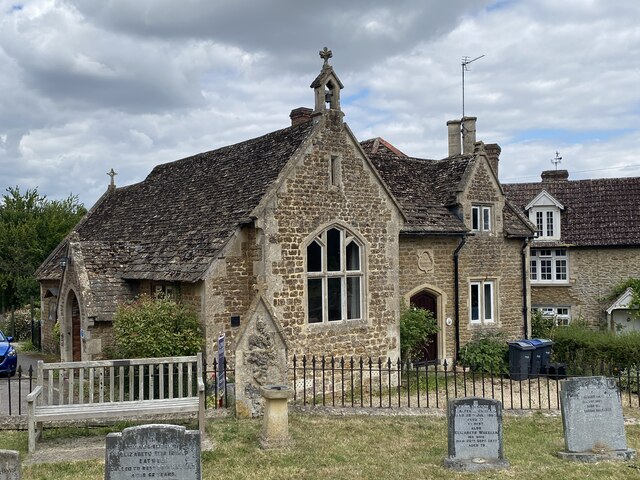
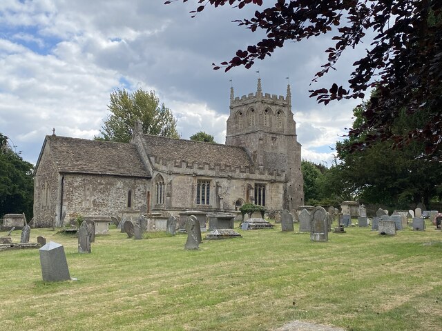
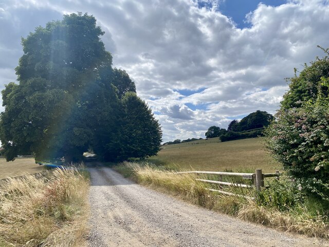
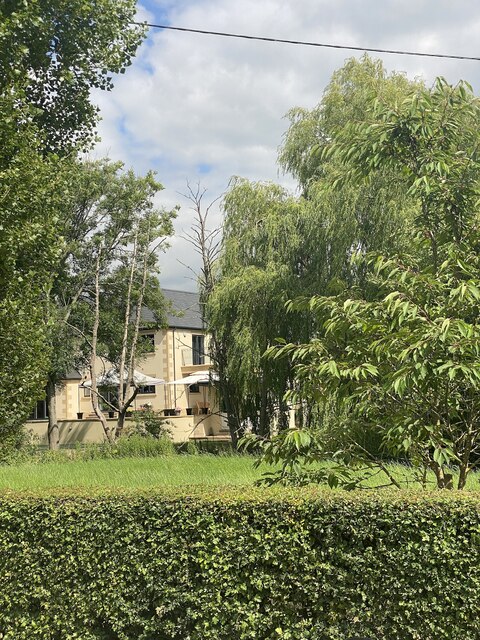
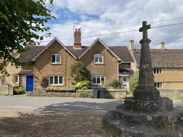
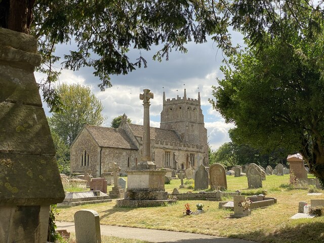
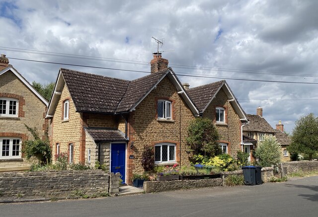
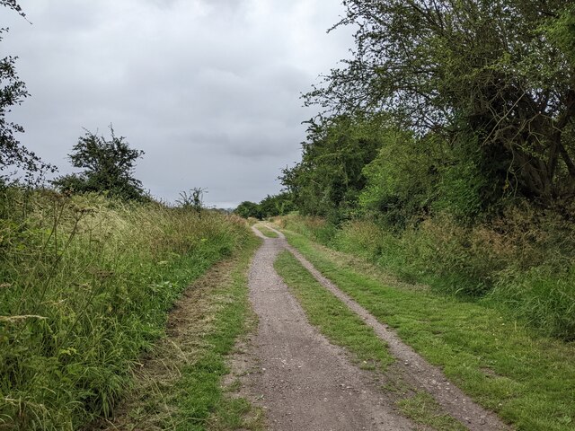
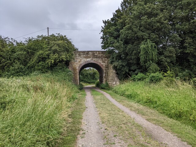
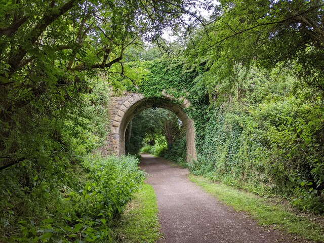
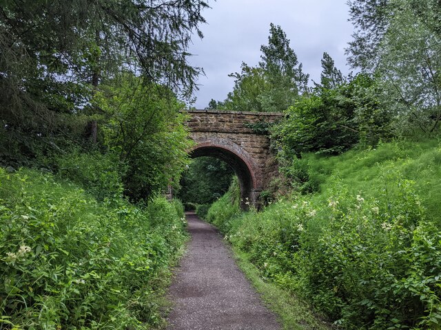
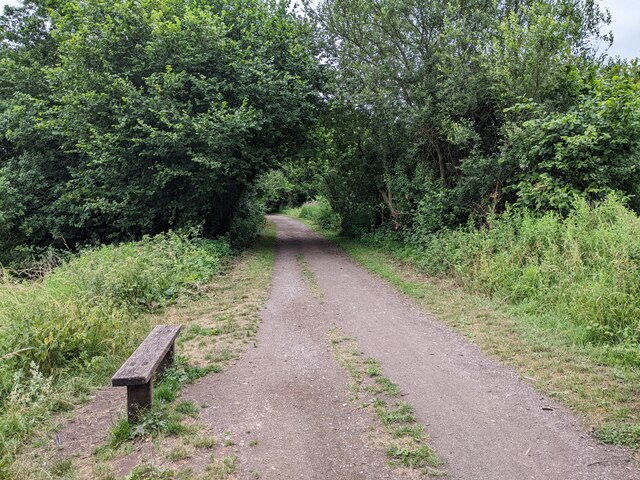
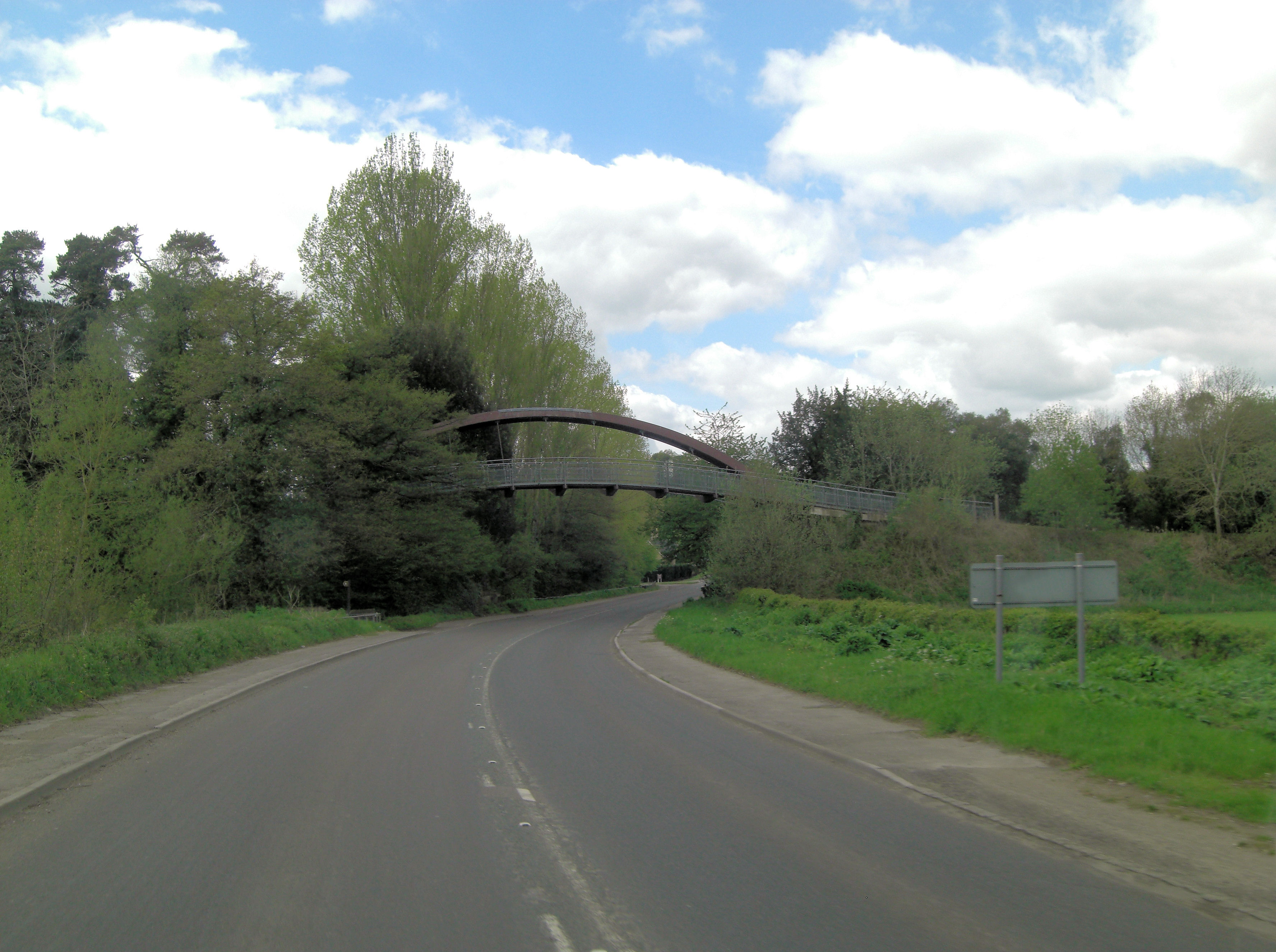
New Plantation Images

Images are sourced within 2km of 51.454217/-2.0456306 or Grid Reference ST9672. Thanks to Geograph Open Source API. All images are credited.

Farm building at Penrose
Stanley Bridge Bridge over the River Marden.
Stanley Bridge
Bridge over the River Marden.
River Marden from Stanley Bridge
Bencroft Farm
Bencroft Farm
Gate across footpath across Bencroft Farm
Village Hall, Bremhill
St Martin’s Church, Bremhill
Footpath towards Hazeland Farm
Retford Bridge
Retford Bridge
Village Cross, Bremhill
St Martin’s Church, Bremhill
Lime Tree Cottage, Bremhill
Wiltshire farmland
Wiltshire farmland
The Chippenham to Calne railway track cycle route
Bridge over the railway track cycle route to Calne
Bridge over the old railway track near Stanley Abbey Farm
National Cycle Network route 403, on old Chippenham to Calne railway track
Bench next to the old railway track cycle route
Show me another place!

New Plantation is located at Grid Ref: ST9672 (Lat: 51.454217, Lng: -2.0456306)

Unitary Authority: Wiltshire

Police Authority: Wiltshire

What 3 Words

///crusher.bends.jokers. Near Bremhill, Wiltshire

Related Wikis

Bencroft Hill Meadows

Bencroft Hill Meadows (grid reference ST962732) is a 5.1 hectare biological Site of Special Scientific Interest some 3 miles (5 km) to the east of the...

Bremhill

Bremhill is a village and civil parish in Wiltshire, England. The village is about 1.6 miles (2.6 km) northwest of Calne and 4 miles (6.4 km) east of Chippenham...

Studley, Wiltshire

Studley is a small village in the county of Wiltshire, England, belonging to the civil parish of Calne Without. == Geography == Studley is about 3 miles...

Stanley Bridge Halt railway station

Stanley Bridge Halt was a railway station on the Great Western Railway's branch line from Chippenham to Calne. Facilities were a wooden platform with a...

Nearby Amenities

Located within 500m of 51.454217,-2.0456306
Carpenters Bridge
Historic: bridge_site
Lat/Long: 51.4513709/-2.0500462
Power: pole
Lat/Long: 51.4517371/-2.0509511
Power: pole
Lat/Long: 51.4515315/-2.0492023
Power: pole
Lat/Long: 51.4511621/-2.0459354
Power: pole
Lat/Long: 51.4509849/-2.0444199
Power: pole
Lat/Long: 51.4509766/-2.0413891
The data included in this document is from www.openstreetmap.org. The data is made available under ODbL.

Have you been to New Plantation?

Leave your review of New Plantation below (or comments, questions and feedback).