Milwich Rough
Wood, Forest in Staffordshire Stafford
England
Milwich Rough
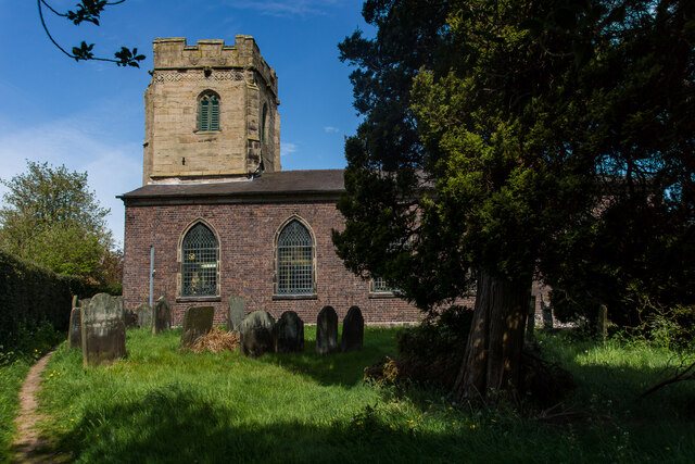
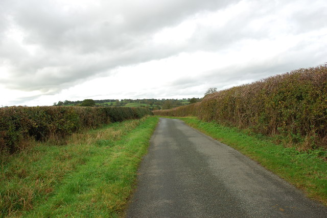
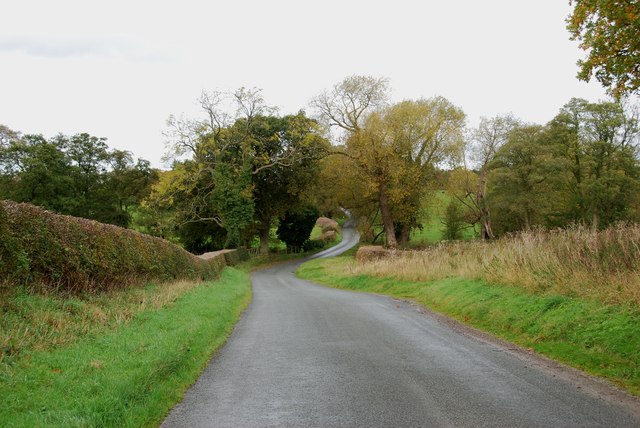
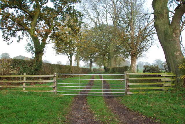
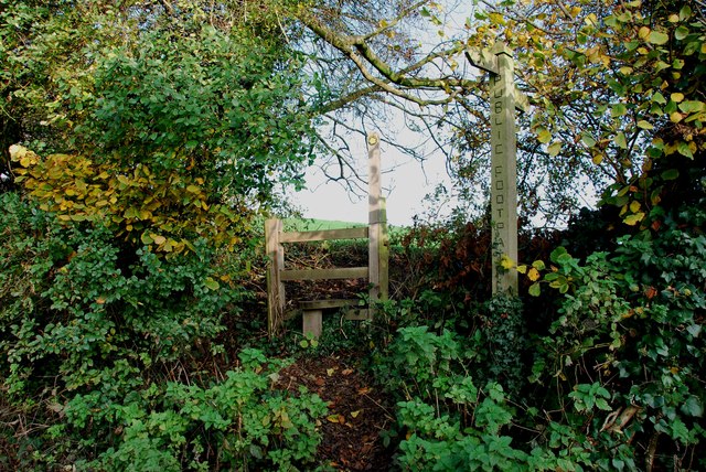
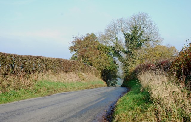
Milwich Rough is a woodland area located in Milwich, a small village in Staffordshire, England. Covering an area of approximately 50 acres, it is a designated Site of Special Scientific Interest (SSSI) due to its ecological importance. The rough is predominantly composed of deciduous trees such as oak, ash, and birch, with a dense undergrowth of shrubs and wildflowers.
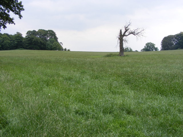
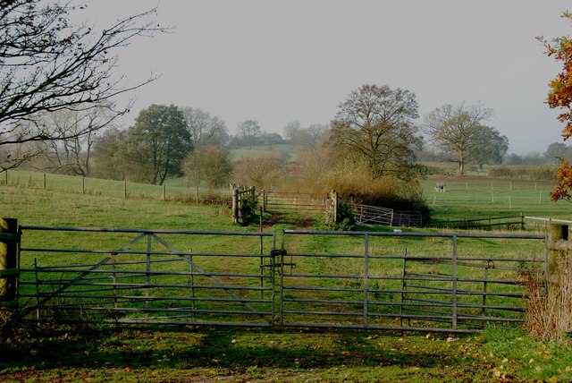
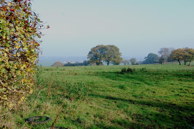
The woodland has a diverse range of habitats, including wetland areas, grassland, and ancient hedgerows, which support a wide variety of flora and fauna. It is home to several rare and protected species, including the white admiral butterfly, lesser spotted woodpecker, and dormouse. Numerous bird species can also be spotted here, making it a popular destination for birdwatchers.
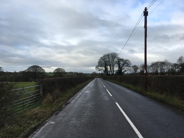
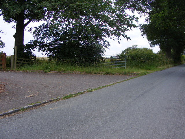
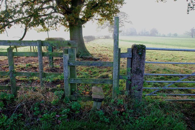
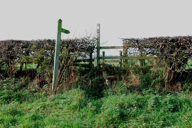
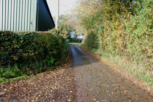
Milwich Rough offers several walking trails for visitors to explore and enjoy the natural beauty of the area. The paths wind through the dense woodland, providing glimpses of the tranquil surroundings and the opportunity to spot wildlife. The rough is managed by the Staffordshire Wildlife Trust, which actively works to preserve and enhance the biodiversity of the site.
In addition to its ecological significance, Milwich Rough also holds historical importance. It is believed to have been part of the ancient Needwood Forest, which covered a vast area in medieval times. The woodland has been managed for centuries, with evidence of traditional woodcraft and timber extraction.
Overall, Milwich Rough is a cherished natural gem in Staffordshire, offering a peaceful retreat for nature enthusiasts and a valuable habitat for a wide range of plant and animal species.
If you have any feedback on the listing, please let us know in the comments section below.
Milwich Rough Images
Images are sourced within 2km of 52.881377/-2.0473904 or Grid Reference SJ9631. Thanks to Geograph Open Source API. All images are credited.

Milwich Rough is located at Grid Ref: SJ9631 (Lat: 52.881377, Lng: -2.0473904)
Administrative County: Staffordshire
District: Stafford
Police Authority: Staffordshire
What 3 Words
///slimming.packets.slowly. Near Stone, Staffordshire
Nearby Locations
Related Wikis

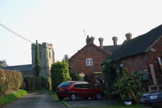
Milwich
Milwich is a village and a civil parish in the English county of Staffordshire. == Location == The village is 7.8 miles (12.6 km) north east of the town...

Coton Hill, Staffordshire
Coton Hill is a hamlet in the English county of Staffordshire. Coton Hill is located east of the village of Milwich on the B5027 road between Stone and...

Fradswell
Fradswell is a village in Staffordshire, England, approximately 7 miles (10 km) north-east of the town of Stafford and 7 miles (11 km) north of Colwich...

Sandon, Staffordshire
Sandon is a village in the civil parish of Sandon and Burston, in the Stafford district, in the county of Staffordshire, England. It is about 4.5 miles...

Sandon Hall
Sandon Hall is a 19th-century country mansion, the seat of the Earl of Harrowby, at Sandon, Staffordshire, 5 miles (8.0 km) northeast of Stafford. It is...

Sandon railway station
Sandon railway station was a railway station opened by the North Staffordshire Railway to serve the village of Sandon, Staffordshire, England. For some...

Gayton, Staffordshire
Gayton is a small rural village and civil parish in Staffordshire, located approximately 1 mile from the A51 between Stone and Stafford. In 2001 it had...

Hilderstone
Hilderstone is a village and a civil parish in the English county of Staffordshire. == Location == The village is 8.6 miles (13.8 km) north of the town...
Have you been to Milwich Rough?
Leave your review of Milwich Rough below (or comments, questions and feedback).