Loes Belt

Wood, Forest in Wiltshire

England

Loes Belt

Milestone, Idover Demesne, Somerford On Idover Lane that was administered by the Malmesbury Third District Turnpike Trust in the 18/19ᵗʰ C.
The benchmark rivet hole can just be seen (representing 60.6 m ASL).

Inscription (was): Malmesbury 4 / Chippenham 11

Milestone Society National ID: WI_MYCP04
Milestone, Idover Demesne, Somerford Credit: Tom Blanden

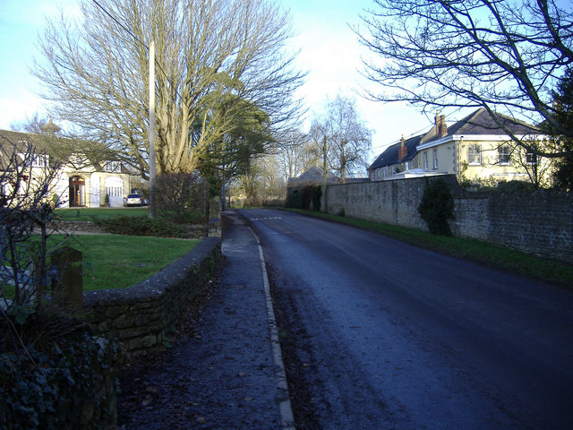
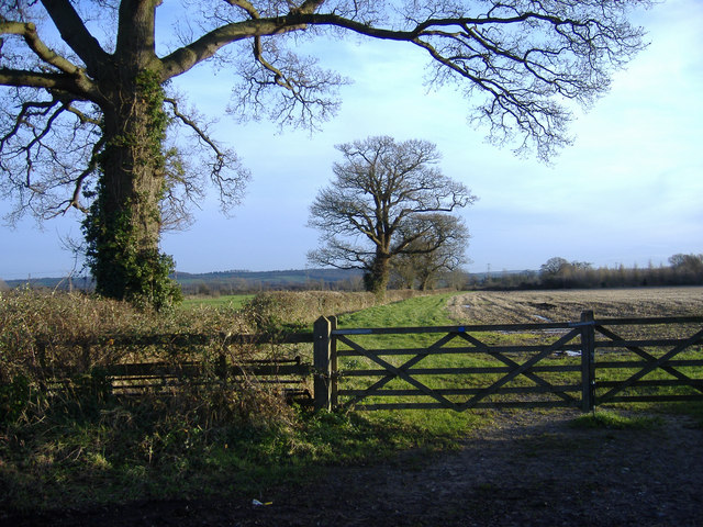
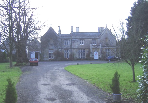
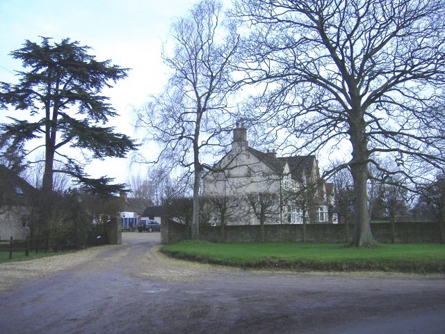
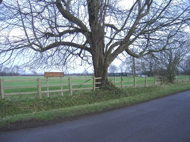
Loes Belt is a picturesque woodland located in the county of Wiltshire, England. Situated on the southern edge of the Marlborough Downs, this enchanting forest covers an area of approximately 200 acres and is renowned for its natural beauty and tranquility.

The forest is predominantly composed of a mixture of deciduous and coniferous trees, including oak, beech, and pine, creating a diverse and vibrant ecosystem. The dense canopy provides ample shade and creates a cool and peaceful atmosphere perfect for leisurely walks and exploration.

Loes Belt boasts a network of well-maintained trails and footpaths that wind through the forest, offering visitors the opportunity to immerse themselves in nature and discover the area's rich biodiversity. The woodland floor is carpeted with a variety of plants and wildflowers, adding bursts of color to the already stunning scenery.

The forest is home to a plethora of wildlife, including deer, badgers, foxes, and an array of bird species. Birdwatchers will delight in spotting woodpeckers, jays, and various songbirds that inhabit the area.

Loes Belt is a popular destination for nature enthusiasts, hikers, and families looking to escape the hustle and bustle of urban life. The forest provides a peaceful retreat where visitors can enjoy a picnic, engage in wildlife spotting, or simply relax amidst the serene surroundings.

Overall, Loes Belt in Wiltshire is a hidden gem, offering a haven of natural tranquility and beauty for all who venture into its leafy depths.

If you have any feedback on the listing, please let us know in the comments section below.
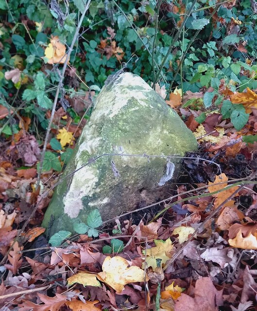
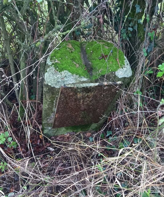
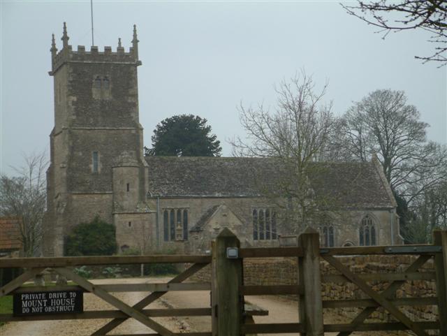
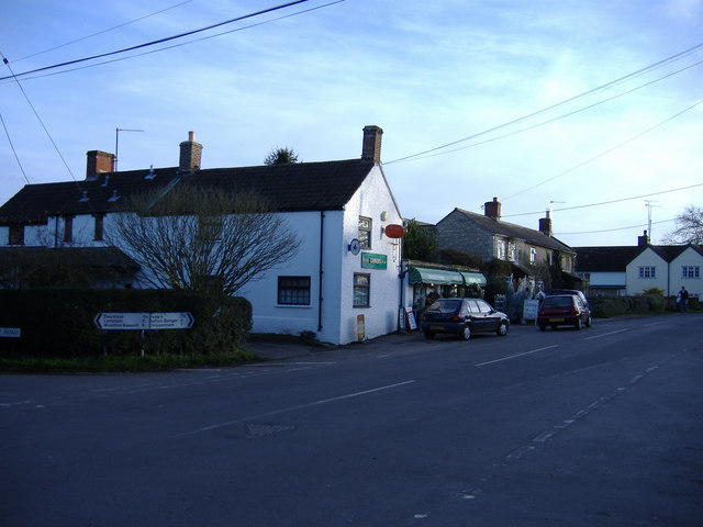
Loes Belt Images

Images are sourced within 2km of 51.549877/-2.0465344 or Grid Reference ST9683. Thanks to Geograph Open Source API. All images are credited.

Milestone, Idover Demesne, Somerford On Idover Lane that was administered by the Malmesbury Third District Turnpike Trust in the 18/19ᵗʰ C.
The benchmark rivet hole can just be seen (representing 60.6 m ASL).

Inscription (was): Malmesbury 4 / Chippenham 11

Milestone Society National ID: WI_MYCP04
Milestone, Idover Demesne, Somerford
On Idover Lane that was administered by the Malmesbury Third District Turnpike Trust in the 18/19ᵗʰ C. The benchmark rivet hole can just be seen (representing 60.6 m ASL). Inscription (was): Malmesbury 4 / Chippenham 11 Milestone Society National ID: WI_MYCP04
Old Milestone, Claverton, B4042 On the South verge nestling in the hedge. Plate on backwards, possibly from a WW2 edict to disfigure destinations, and confuse infiltrators and escapees.

Inscription (would be): Swindon / 12 / Miles / Malmesb,y / 2 / Miles

Milestone Society National ID: WI_SNMY13
Old Milestone, Claverton, B4042
On the South verge nestling in the hedge. Plate on backwards, possibly from a WW2 edict to disfigure destinations, and confuse infiltrators and escapees. Inscription (would be): Swindon / 12 / Miles / Malmesb,y / 2 / Miles Milestone Society National ID: WI_SNMY13
Old Milestone, Great Somerford On the Eastern side of the road near Seagry Heath. In the parish of Great Somerford. Erected by the Draycot or Upper District Turnpike Trust.
Rivet Benchmark on top  representing 63.3 m ASL.

Inscription (was): Malmesbury 5 / Sutton Benger 2

Milestone Society ID: WI_MYSU05
Old Milestone, Great Somerford
On the Eastern side of the road near Seagry Heath. In the parish of Great Somerford. Erected by the Draycot or Upper District Turnpike Trust. Rivet Benchmark on top representing 63.3 m ASL. Inscription (was): Malmesbury 5 / Sutton Benger 2 Milestone Society ID: WI_MYSU05
St. John The Baptist, Little Somerford
St. Peter & St. Paul Church, Great Somerford
Methodist Church, Great Somerford
The Church of St. James the Great, Dauntsey
Sunset over straw bales
Pylon at Great Somerford
Winter afternoon at the crossroads, Great Somerford.
West Street, Great Somerford
View South, from the road to Startley. The M4 motorway hidden in the middle distance.
View South, from the road to Startley.
The M4 motorway hidden in the middle distance.
Dauntsey rectory A grand house for a very small parish! (Now converted into apartments.)
Dauntsey rectory
A grand house for a very small parish! (Now converted into apartments.)
Idover house Entrance drive from Dauntsey Road.
Idover house
Entrance drive from Dauntsey Road.
Dauntsey gentlemen's cricket club A small pavilion nestles among the trees.
Dauntsey gentlemen's cricket club
A small pavilion nestles among the trees.
Yew tree farm Where Eastenders live?
Yew tree farm
Where Eastenders live?
The road to Dauntsey The road from Little Somerford passes under the main railway line from Paddington to South Wales.
The road to Dauntsey
The road from Little Somerford passes under the main railway line from Paddington to South Wales.
Home Idover Demesne farm Situated north of the road between Little Somerford and Dauntsey.
Home Idover Demesne farm
Situated north of the road between Little Somerford and Dauntsey.
Show me another place!

Loes Belt is located at Grid Ref: ST9683 (Lat: 51.549877, Lng: -2.0465344)

Unitary Authority: Wiltshire

Police Authority: Wiltshire

What 3 Words

///tins.confused.gratuity. Near Malmesbury, Wiltshire

Nearby Locations

Loes Belt Peter's Wood

Related Wikis

Great Somerford Halt railway station

Great Somerford Halt was a station on the Malmesbury Branch Line of the Great Western Railway in Wiltshire, England. It was open from 1877 to 1933 for...

Little Somerford railway station

Little Somerford railway station served the village of Little Somerford, Wiltshire, England from 1903 to 1963. It was on the South Wales Main Line and...

Brinkworth Brook

The Brinkworth Brook is a tributary of the Bristol Avon. It rises near Broad Hinton in Wiltshire in the West Country of England, and flows in a north...

Little Somerford

Little Somerford is a village and civil parish in Wiltshire, England, 3 miles (4.8 km) southeast of Malmesbury and 7.5 miles (12.1 km) northeast of Chippenham...

Great Somerford

Great Somerford is a village and civil parish within Dauntsey Vale, Wiltshire, England, near the south bank of the river Avon. It lies approximately 3...

Gauze Brook

The Gauze Brook is a stream in South West England, which rises near the village of Littleton Drew in Wiltshire and flows in a northeasterly direction for...

Dauntsey

Dauntsey is a small village and civil parish in the county of Wiltshire, England. It gives its name to the Dauntsey Vale in which it lies and takes its...

Lea, Wiltshire

Lea is a village in Wiltshire, England, lying approximately 1.5 miles (2.4 km) east of Malmesbury. It is part of the civil parish of Lea and Cleverton...

Nearby Amenities

Located within 500m of 51.549877,-2.0465344
Barrier: stile
Lat/Long: 51.5524947/-2.0425386
Barrier: stile
Lat/Long: 51.5509736/-2.044178
Barrier: stile
Lat/Long: 51.548812/-2.0486326
Barrier: stile
Lat/Long: 51.5486359/-2.0486583
Barrier: stile
Lat/Long: 51.5482892/-2.0508524
Barrier: stile
Lat/Long: 51.5477039/-2.0512035
Bridge: yes
Description: footbridge
Lat/Long: 51.5483001/-2.044358
Barrier: stile
Lat/Long: 51.5481826/-2.0436886
Power: tower
Source: Bing
Lat/Long: 51.5484521/-2.0434021
Power: tower
Source: Bing
Lat/Long: 51.5456563/-2.0468429
Power: tower
Source: Bing
Lat/Long: 51.5510042/-2.0402549
Great Somerford
Historic Railway: station
Railway: site
Source: OS 1:25k
Lat/Long: 51.5483768/-2.0512467
The data included in this document is from www.openstreetmap.org. The data is made available under ODbL.

Have you been to Loes Belt?

Leave your review of Loes Belt below (or comments, questions and feedback).