The Oaks

Wood, Forest in Dorset

England

The Oaks

Farmland view from Badbury Rings NT car park With the point to point course receding into the distance.
Farmland view from Badbury Rings NT car park Credit: David Martin

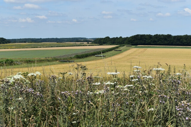
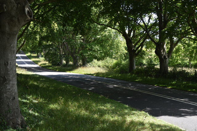
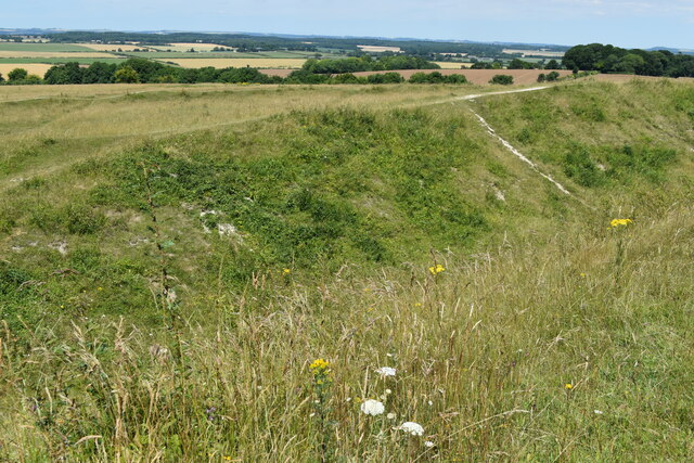
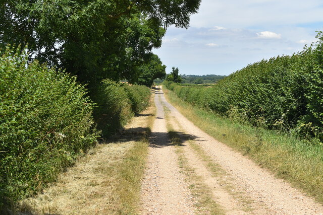
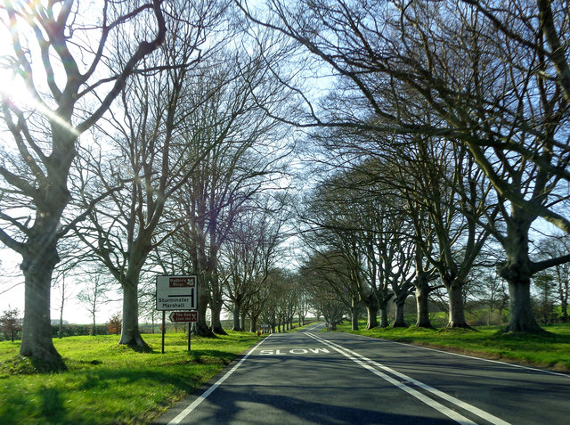
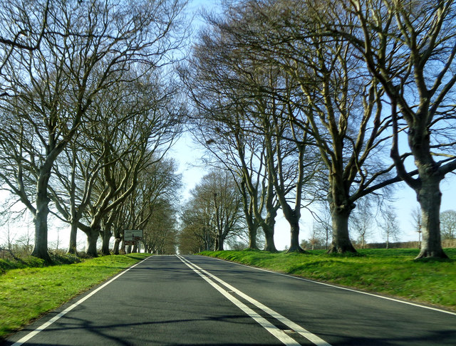
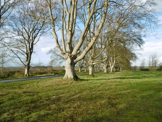
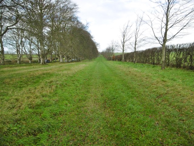
The Oaks, located in Dorset, is a picturesque woodland area renowned for its natural beauty and serene ambiance. Situated in the heart of the county, this forest encompasses a vast expanse of ancient oak trees that have stood the test of time, some dating back hundreds of years. The Oaks is a haven for nature enthusiasts and those seeking a peaceful retreat away from the bustle of urban life.

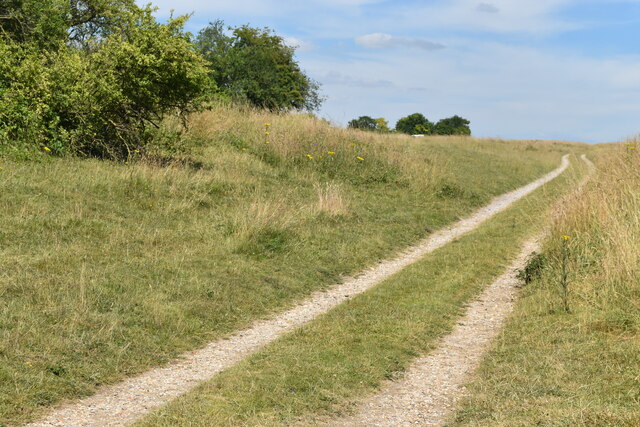
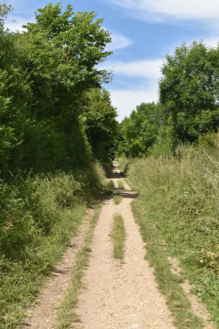
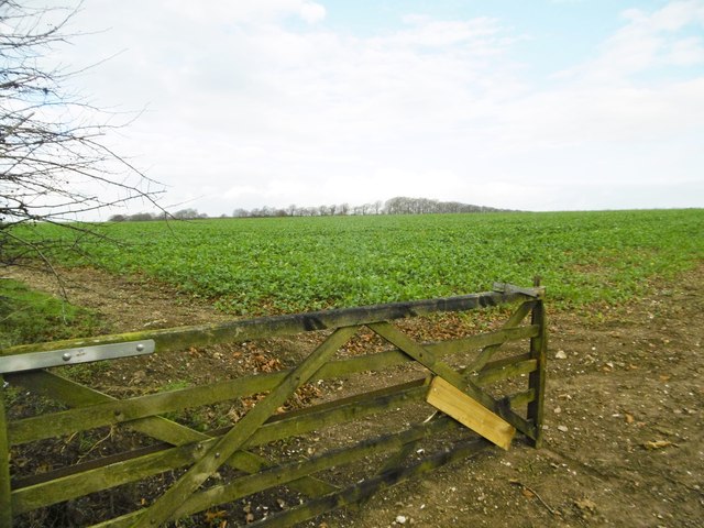
Covering an area of approximately 500 acres, The Oaks offers a variety of walking trails and paths, allowing visitors to explore the enchanting woodland at their own pace. The forest is teeming with diverse flora and fauna, creating a rich ecosystem that supports a range of wildlife, including deer, squirrels, and a plethora of bird species. The tranquil atmosphere is further enhanced by the soothing sounds of flowing streams and the rustling of leaves, making it an ideal spot for relaxation and meditation.

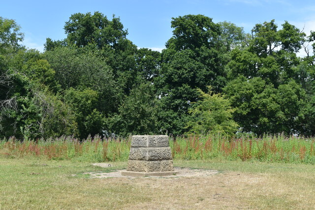
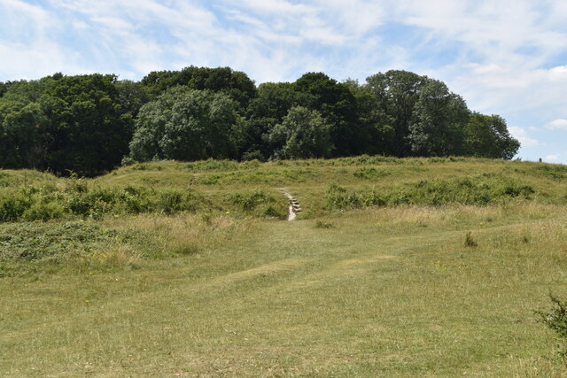
The Oaks is also popular among outdoor enthusiasts, offering opportunities for various recreational activities. Hiking and cycling trails wind their way through the forest, providing a chance to immerse oneself in the natural surroundings while enjoying a workout. The forest is well-maintained, with picnic areas and benches strategically placed for visitors to rest and appreciate the breathtaking views.

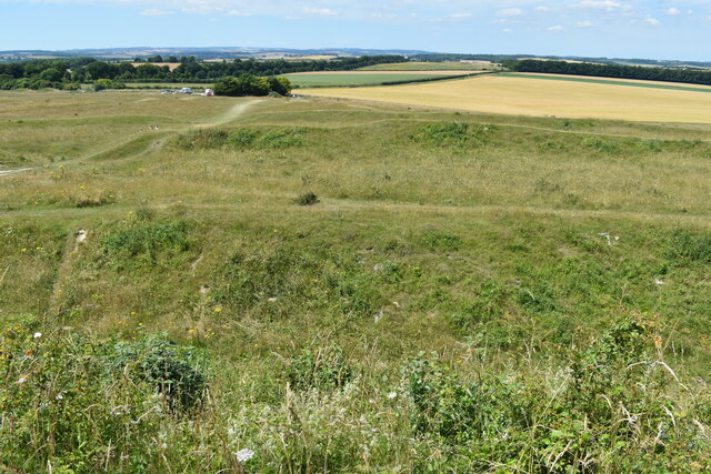
Moreover, The Oaks has a rich historical significance, as it has been a protected area for centuries. The ancient oaks have witnessed countless events and have become a symbol of resilience and strength. The forest is regarded as a living heritage, and efforts are made to preserve its unique ecosystem and promote sustainable practices.

Overall, The Oaks in Dorset is a captivating destination that offers a harmonious blend of natural beauty, tranquility, and recreational opportunities. It is a place where visitors can reconnect with nature and experience the magic of an ancient woodland.

If you have any feedback on the listing, please let us know in the comments section below.

The Oaks Images

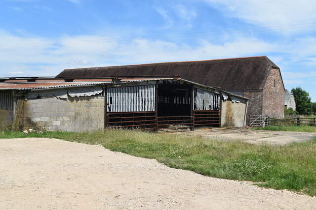
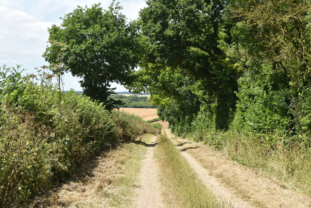
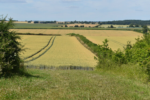
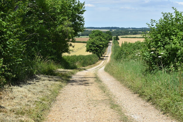
Images are sourced within 2km of 50.834109/-2.0470362 or Grid Reference ST9603. Thanks to Geograph Open Source API. All images are credited.

Farmland view from Badbury Rings NT car park With the point to point course receding into the distance.
Farmland view from Badbury Rings NT car park
With the point to point course receding into the distance.
Bridleway on course of Roman Road at Badbury Rings
Topograph stone at Badbury Rings The woodland appears to have grown up and obscured views of local landmarks presumably visible when this was installed.
Topograph stone at Badbury Rings
The woodland appears to have grown up and obscured views of local landmarks presumably visible when this was installed.
B3082 Blandford Road through avenue of trees near Badbury Rings
On the Iron Age earthworks at Badbury Rings
View to the summit of Badbury Rings The trig point is just visible on the horizon to the right.
View to the summit of Badbury Rings
The trig point is just visible on the horizon to the right.
View over the earthworks at Badbury Rings The National Trust car park is just visible to the left of the small copse.
View over the earthworks at Badbury Rings
The National Trust car park is just visible to the left of the small copse.
Bridleway east of Badbury Rings
Buildings at King Down Farm
Track west of The Oaks A private farm track, off the marked National Trust estate walk.
Track west of The Oaks
A private farm track, off the marked National Trust estate walk.
Farmland view northwest towards Abbeycroft Down In the left distance is the former Tarrant Rushton Airfield site, with a hangar just visible between the trees.
Farmland view northwest towards Abbeycroft Down
In the left distance is the former Tarrant Rushton Airfield site, with a hangar just visible between the trees.
Hardy Way on farm track north of King Down Farm
Turn for Sturminster Marshall Blandford Road, amongst the avenue of beech trees, near Badbury Rings.
Turn for Sturminster Marshall
Blandford Road, amongst the avenue of beech trees, near Badbury Rings.
The B3082 near Badbury Rings Approaching the turn for Shapwick (left) or Badbury Rings car park (right) on the B3082 between Wimborne and Blandford.
The B3082 near Badbury Rings
Approaching the turn for Shapwick (left) or Badbury Rings car park (right) on the B3082 between Wimborne and Blandford.
Shapwick, beech avenue A few of the once 731 beeches lining the approach to Kingston Lacy; 366 on one side, and 365 on the other. Planted by William Bankes for his mother in 1835.
Shapwick, beech avenue
A few of the once 731 beeches lining the approach to Kingston Lacy; 366 on one side, and 365 on the other. Planted by William Bankes for his mother in 1835.
Shapwick, track Parallel to Blandford Road (left, behind the beech avenue), and servicing farmland to the right. Also to the right, young beech trees, planted by the National Trust as successors to the current avenue.
Shapwick, track
Parallel to Blandford Road (left, behind the beech avenue), and servicing farmland to the right. Also to the right, young beech trees, planted by the National Trust as successors to the current avenue.
Shapwick, oil-seed rape Some plants are already flowering - perhaps an indicator of recent mild weather.
Shapwick, oil-seed rape
Some plants are already flowering - perhaps an indicator of recent mild weather.
Show me another place!

The Oaks is located at Grid Ref: ST9603 (Lat: 50.834109, Lng: -2.0470362)

Unitary Authority: Dorset

Police Authority: Dorset

What 3 Words

///monopoly.horseshoe.coconuts. Near Sturminster Marshall, Dorset

Nearby Locations

The Oaks

Related Wikis

Badbury Rings

Badbury Rings is an Iron Age hill fort and Scheduled Monument in east Dorset, England. It was in the territory of the Durotriges. In the Roman era a temple...

RAF Tarrant Rushton

Royal Air Force Tarrant Rushton or more simply RAF Tarrant Rushton is a former Royal Air Force station near the village of Tarrant Rushton east of Blandford...

Kingston Lacy

Kingston Lacy is a country house and estate near Wimborne Minster, Dorset, England. It was for many years the family seat of the Bankes family who lived...

Badbury Hundred

Badbury Hundred was a hundred in the county of Dorset, England, which took its name from the earthwork of Badbury Rings. It contained the following parishes...

Nearby Amenities

Located within 500m of 50.834109,-2.0470362
The data included in this document is from www.openstreetmap.org. The data is made available under ODbL.

Have you been to The Oaks?

Leave your review of The Oaks below (or comments, questions and feedback).