Teasdale Fell
Wood, Forest in Northumberland
England
Teasdale Fell
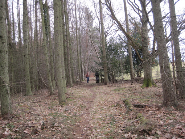
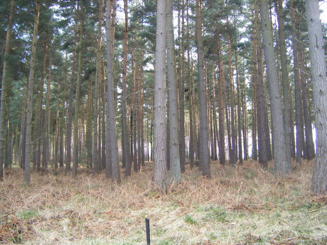
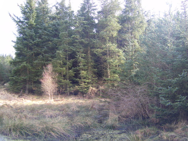
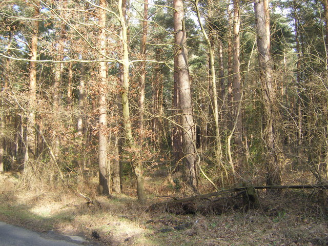
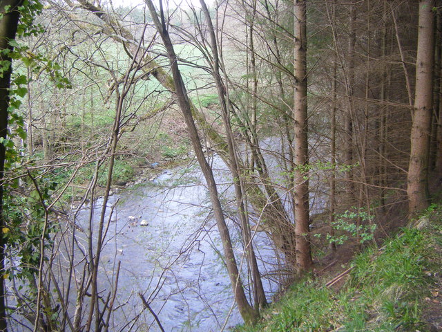
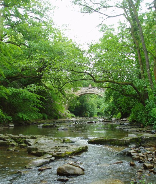
Teasdale Fell is a picturesque woodland area located in the county of Northumberland, England. Spread across an extensive area, this enchanting forest is known for its natural beauty and tranquil atmosphere. Nestled amidst rolling hills and breathtaking landscapes, Teasdale Fell offers visitors a peaceful retreat from the hustle and bustle of everyday life.
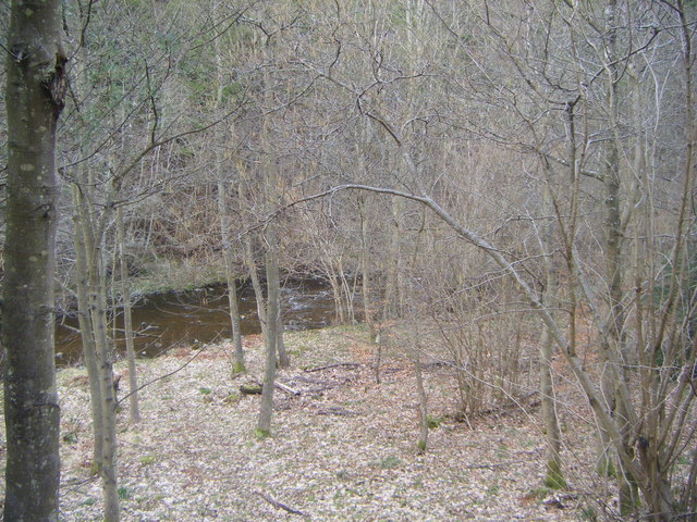
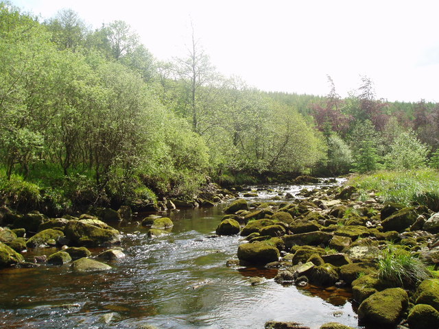
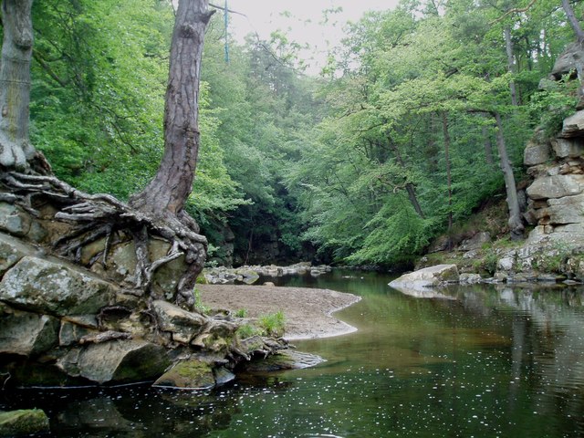
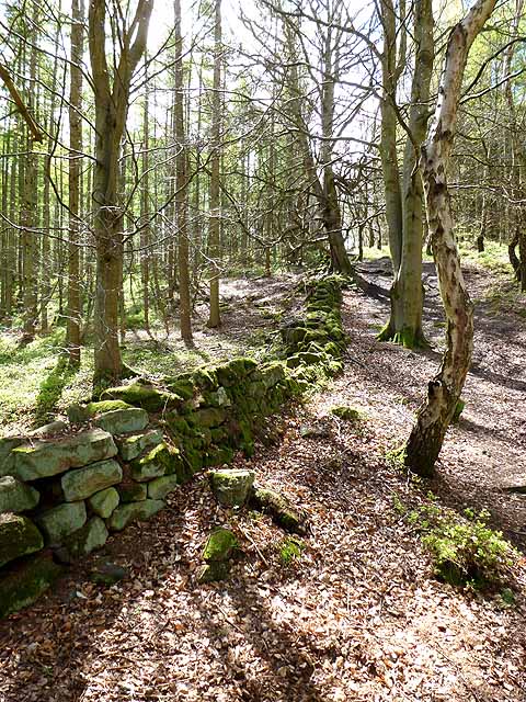
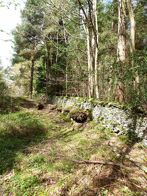
The woodland is predominantly made up of ancient oak and beech trees, which create a dense canopy that filters the sunlight and casts beautiful patterns on the forest floor. The rich biodiversity of the area makes it a haven for various wildlife species, including deer, foxes, and a wide array of bird species. The forest is also home to several rare and endangered plant species, making it a significant conservation area.
Teasdale Fell is a popular destination for nature enthusiasts, hikers, and photographers. There are numerous walking trails that wind through the forest, allowing visitors to explore its hidden corners and discover its natural wonders. The forest also offers stunning viewpoints, where one can enjoy panoramic vistas of the surrounding countryside.
In addition to its natural beauty, Teasdale Fell has a fascinating history. The forest has been a part of the Northumberland landscape for centuries, and remnants of ancient stone structures can still be found within its boundaries. These historical remains add an air of mystery and intrigue to the woodland, captivating visitors and sparking their imagination.
Overall, Teasdale Fell in Northumberland is a captivating woodland destination, offering a serene and rejuvenating experience for anyone seeking solace in nature's embrace.
If you have any feedback on the listing, please let us know in the comments section below.
Teasdale Fell Images
Images are sourced within 2km of 54.950254/-2.052179 or Grid Reference NY9661. Thanks to Geograph Open Source API. All images are credited.


Teasdale Fell is located at Grid Ref: NY9661 (Lat: 54.950254, Lng: -2.052179)
Unitary Authority: Northumberland
Police Authority: Northumbria
What 3 Words
///admires.configure.seemingly. Near Corbridge, Northumberland
Nearby Locations
Related Wikis

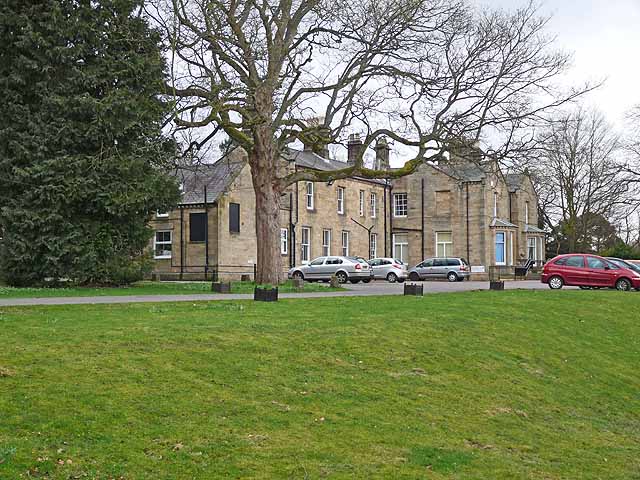
Cambian Dilston College
Cambian Dilston College is a private further education college for those with special educational needs. It is located at Dilston Hall in Corbridge in...
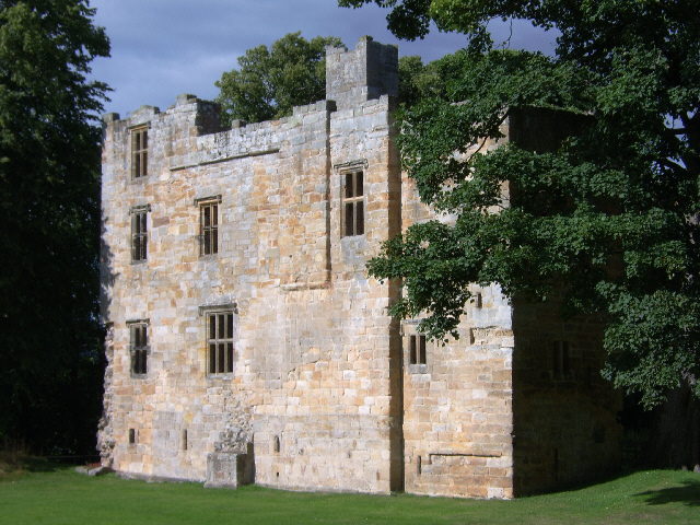
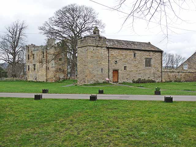
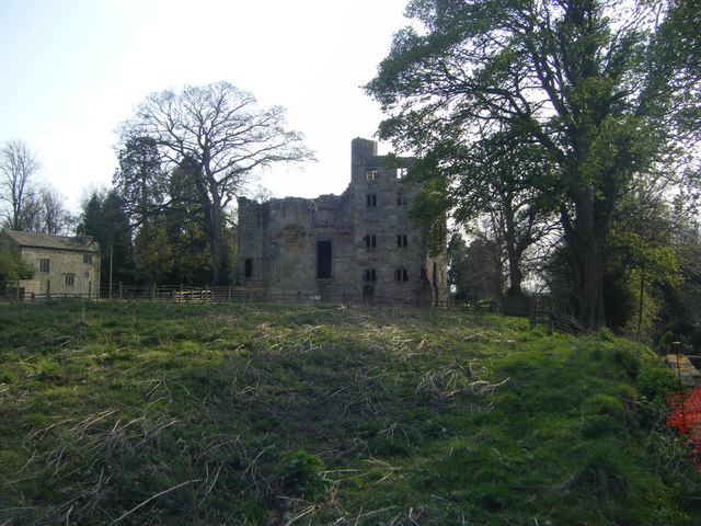
Dilston Castle
Dilston Castle is an unglazed 15th-century uninhabited tower house (and inactive Catholic chapel built for one family's services) at Dilston in the parish...

Corbridge railway station
Corbridge is a railway station on the Tyne Valley Line, which runs between Newcastle and Carlisle via Hexham. The station, situated 19 miles 15 chains...

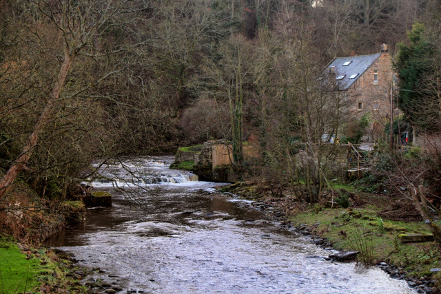
Devil's Water
Devil's Water is a narrow, powerful river in Northumberland, England fed by many streams. A right-bank firmly north-flowing tributary of the Tyne, it ends...

Corbridge Bridge
Corbridge Bridge is a 17th-century stone bridge across the River Tyne at Corbridge, Northumberland, England. The bridge used to carry the A68 road over...

Coria (Corbridge)
Coria was a fort and town 2.5 miles (4.0 km) south of Hadrian's Wall, in the Roman province of Britannia at a point where a big Roman north–south road...

Corbridge Vicar's Pele
Corbridge Vicar's Pele is a pele tower in the village of Corbridge, Northumberland, England. It was a three-storey defensive pele tower, with one room...
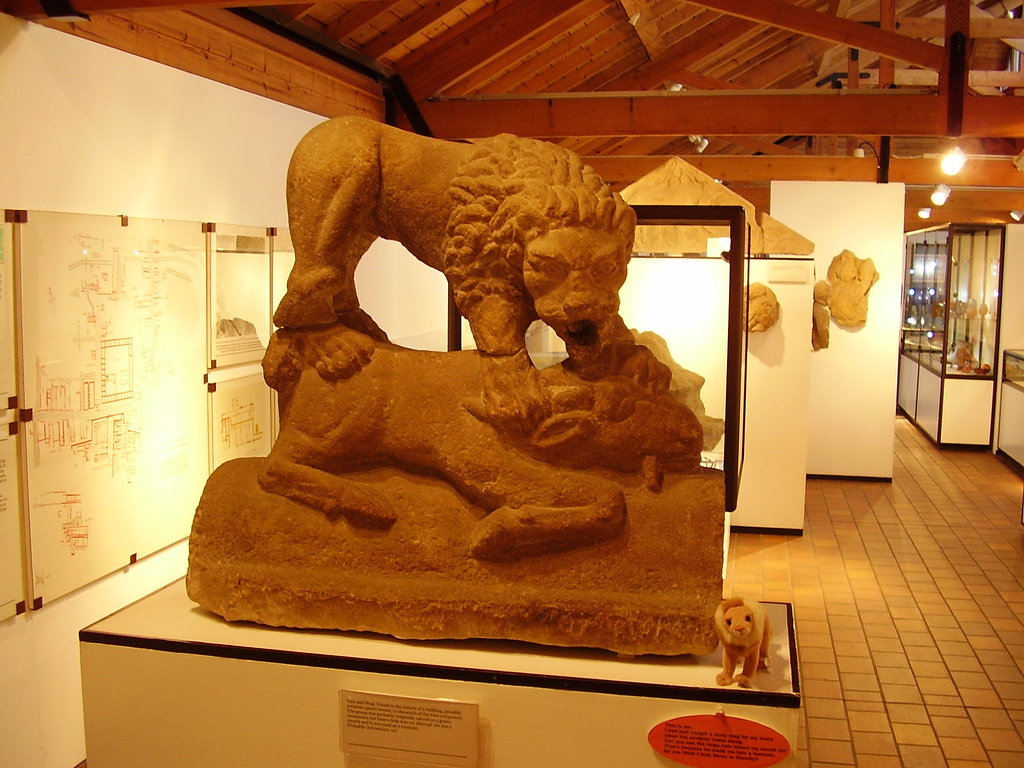
Corbridge Lion
The Corbridge Lion, Northumberland, England, is an ancient Roman free-standing sandstone sculpture of a male lion standing on a prone animal (possibly...
Have you been to Teasdale Fell?
Leave your review of Teasdale Fell below (or comments, questions and feedback).