The Rookery
Wood, Forest in Gloucestershire Cotswold
England
The Rookery

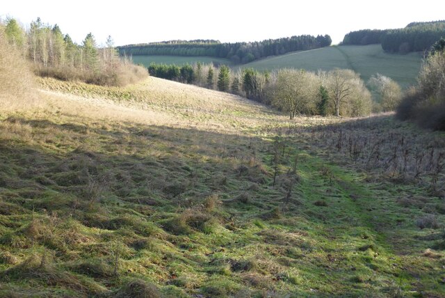
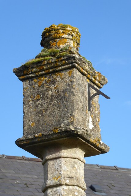
The Rookery, located in Gloucestershire, is a picturesque woodland area nestled within the larger Forest of Dean. Covering an expansive area, The Rookery is renowned for its natural beauty and diverse wildlife, making it a popular destination for nature enthusiasts and outdoor enthusiasts alike.
The woodland is predominantly composed of mature oaks, beech, and birch trees, creating a dense canopy that provides shade and shelter for a wide range of flora and fauna. The forest floor is adorned with a carpet of ferns, wildflowers, and mosses, adding to the enchanting atmosphere of the area.
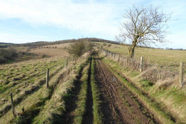
Several walking trails wind their way through The Rookery, allowing visitors to explore the woodlands at their own pace. These trails vary in difficulty, catering to both casual strollers and more experienced hikers. Along the paths, visitors may encounter a plethora of wildlife, including deer, badgers, foxes, and a variety of bird species. The Rookery is particularly renowned as a habitat for the rare and elusive goshawk, making it a popular spot for birdwatchers.
The woodland also features a small lake, known as Rookery Pool, which acts as a watering hole for various animals and provides a tranquil spot for visitors to relax and take in the scenery. Additionally, The Rookery offers picnic areas and benches, allowing visitors to enjoy a peaceful lunch surrounded by nature.
Overall, The Rookery in Gloucestershire is a captivating woodland retreat, offering a unique opportunity to immerse oneself in the beauty of nature and observe its diverse inhabitants.
If you have any feedback on the listing, please let us know in the comments section below.
The Rookery Images
Images are sourced within 2km of 51.840677/-2.0492883 or Grid Reference SO9615. Thanks to Geograph Open Source API. All images are credited.


The Rookery is located at Grid Ref: SO9615 (Lat: 51.840677, Lng: -2.0492883)
Administrative County: Gloucestershire
District: Cotswold
Police Authority: Gloucestershire
What 3 Words
///listen.meals.pumps. Near Charlton Kings, Gloucestershire
Nearby Locations
Related Wikis

Coberley
Coberley is a village and civil parish in the Cotswold District of Gloucestershire in England, 4 miles (6.4 km) south of Cheltenham. It lies at the confluence...

Cowley, Gloucestershire
Cowley is a village and civil parish in the Cotswold District of Gloucestershire, England. It lies between the A417 and A435 roads between Cheltenham...
Seven Springs, Gloucestershire
Seven Springs is a hamlet in the heavily wooded parish of Coberley in the Cotswold District of Gloucestershire in England, 4 miles (6.4 km) south of Cheltenham...

National Star College
The National Star College (previously known as the Star Centre) is an independent specialist further education college for people with physical disabilities...

Cockleford Marsh
Cockleford Marsh (grid reference SO977133) is a 3.2-hectare (7.9-acre) biological Site of Special Scientific Interest in Gloucestershire, notified in 1991...

Ullenwood
Ullenwood is a village in the Coberley civil parish, near Cheltenham in Gloucestershire. It is the site of a formerly secret civil defence bunker intended...

The Air Balloon, Birdlip
The Air Balloon is a road junction and former pub Birdlip, Gloucestershire, England. The junction is on the A417 at a significant congestion point. The...
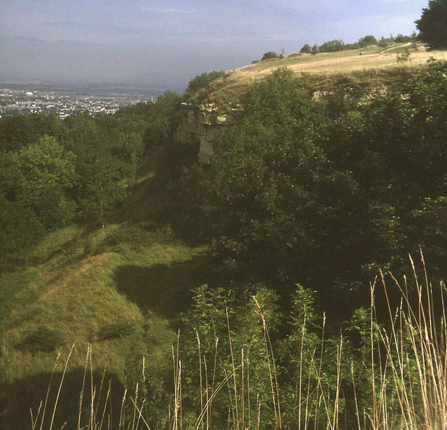
Leckhampton Hill and Charlton Kings Common
Leckhampton Hill and Charlton Kings Common (grid reference SO952187) is a 63.8-hectare (158-acre) biological and geological Site of Special Scientific...
Nearby Amenities
Located within 500m of 51.840677,-2.0492883Have you been to The Rookery?
Leave your review of The Rookery below (or comments, questions and feedback).