Scoles Lane Copse
Wood, Forest in Dorset
England
Scoles Lane Copse
Scoles Lane Copse is a picturesque woodland located in the county of Dorset, England. Situated just outside the village of Scoles, the copse covers an area of approximately 20 acres and is a popular destination for nature enthusiasts and outdoor enthusiasts alike.
The copse is characterized by its diverse range of tree species, including oak, beech, and ash, creating a rich and vibrant woodland ecosystem. The dense canopy of trees provides shade and shelter, making it an ideal habitat for a variety of wildlife such as deer, foxes, and a wide range of bird species.
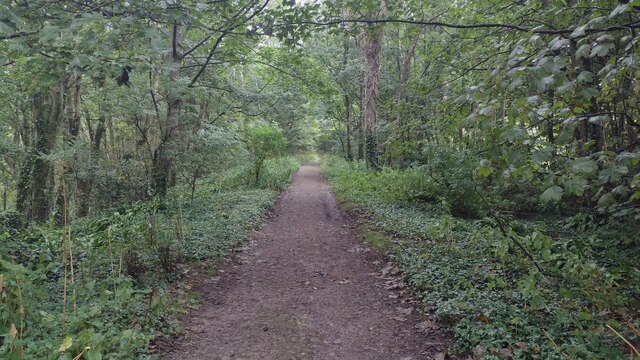
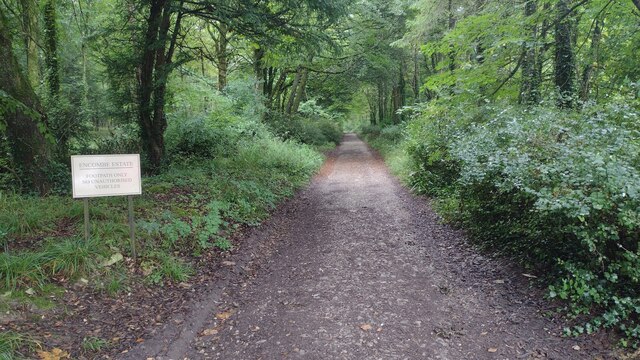
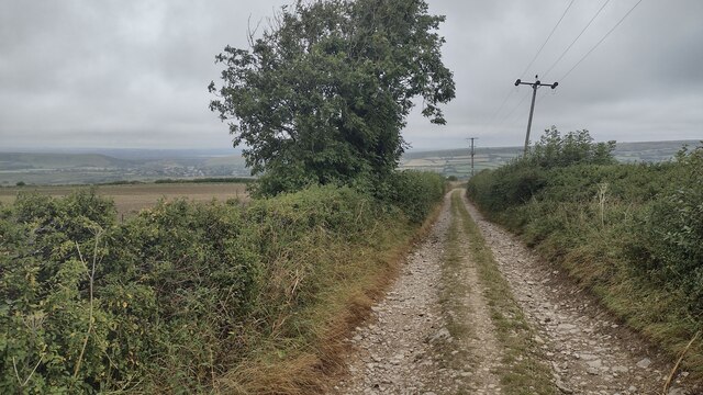
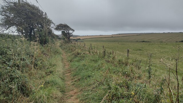
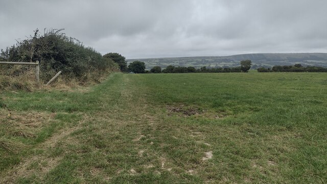
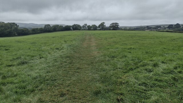
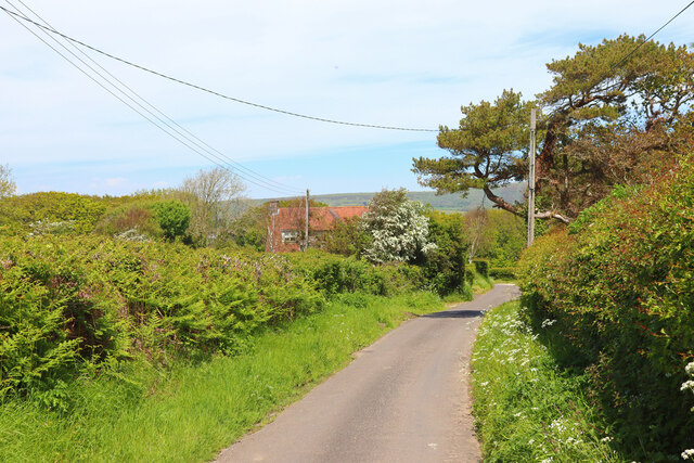
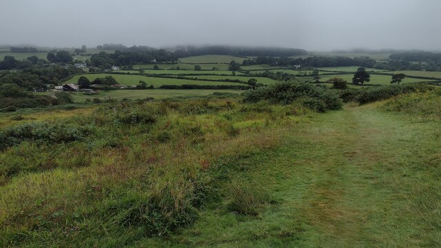
Walking through Scoles Lane Copse, visitors can explore a network of well-maintained footpaths that meander through the woodland, offering scenic views and opportunities for tranquil strolls. The copse is also home to a small stream that runs through its heart, adding to the idyllic atmosphere and providing a source of water for the local wildlife.
The copse is managed by the local council, who ensure its preservation and conservation. Efforts are made to maintain the natural balance of the ecosystem, with occasional tree thinning and removal of invasive species to promote the growth of native flora and fauna.
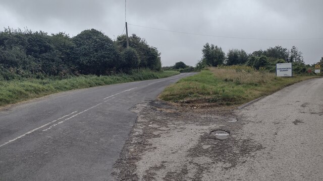
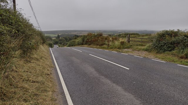
Scoles Lane Copse is open to the public year-round, with access available from a designated parking area nearby. It is a popular spot for nature walks, birdwatching, and photography, offering visitors a chance to immerse themselves in the beauty of Dorset's natural landscape.
If you have any feedback on the listing, please let us know in the comments section below.
Scoles Lane Copse Images
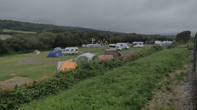
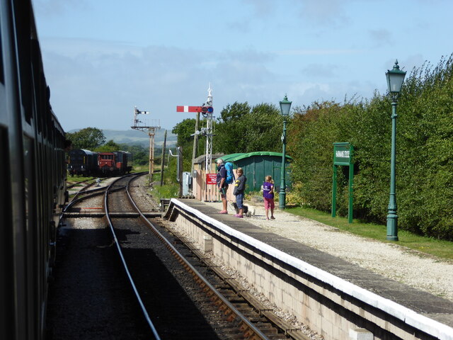
Images are sourced within 2km of 50.619651/-2.0497044 or Grid Reference SY9679. Thanks to Geograph Open Source API. All images are credited.
Scoles Lane Copse is located at Grid Ref: SY9679 (Lat: 50.619651, Lng: -2.0497044)
Unitary Authority: Dorset
Police Authority: Dorset
What 3 Words
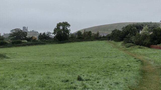
///butchers.dashes.compounds. Near Corfe Castle, Dorset
Nearby Locations
Related Wikis

Scoles Manor
Scoles Manor, also known as Scoles Farm House, is former farmhouse and a Grade II* listed building, two miles from Corfe Castle in Dorset, England. It...

Kingston, Purbeck
Kingston is a small village on the Isle of Purbeck in the county of Dorset in southern England. == Location == Kingston is situated about two miles south...
Blashenwell Farm Pit
Blashenwell Farm Pit (grid reference SY952805) is an 11.4 hectare geological Site of Special Scientific Interest in Dorset, United Kingdom, notified in...

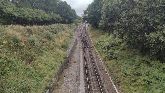
Harman's Cross railway station
Harman's Cross railway station is a railway station located in the village of Harman's Cross, on the Isle of Purbeck in the English county of Dorset. It...
Nearby Amenities
Located within 500m of 50.619651,-2.0497044Have you been to Scoles Lane Copse?
Leave your review of Scoles Lane Copse below (or comments, questions and feedback).