Berry Hills
Wood, Forest in Northumberland
England
Berry Hills
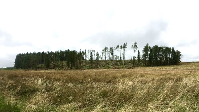
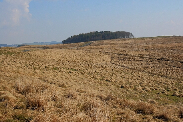
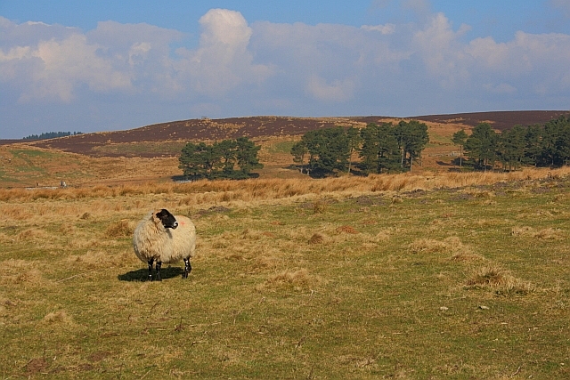
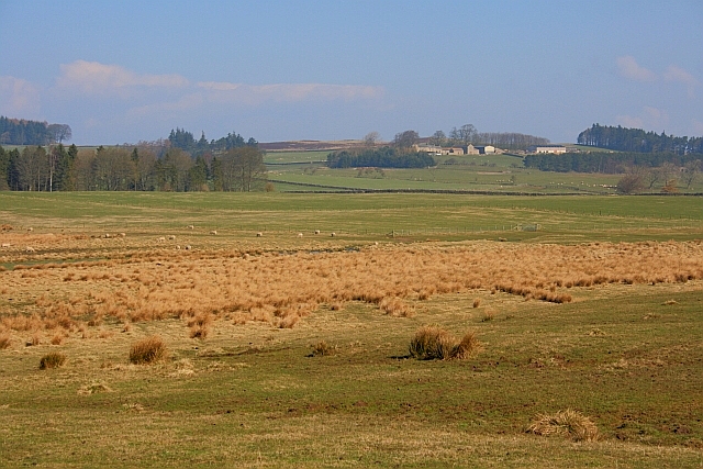
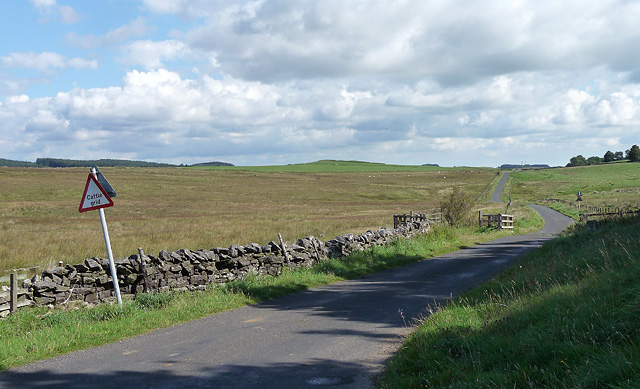
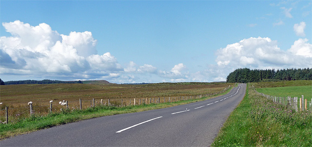
Berry Hills is a picturesque woodland located in Northumberland, England. Situated in the southern part of the county, it covers an area of approximately 200 acres. The woodland is known for its dense vegetation, diverse wildlife, and tranquil atmosphere, making it a popular destination for nature lovers and outdoor enthusiasts.
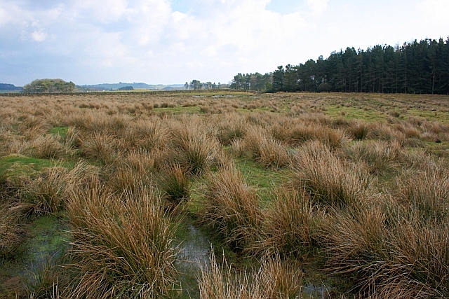
The woodland is characterized by its abundance of native trees, including oak, beech, and birch, which provide a dense canopy that filters sunlight and creates a cool and shaded environment. The forest floor is covered with a carpet of ferns, mosses, and wildflowers, adding to the natural beauty of the area.
Berry Hills is home to a variety of wildlife, including deer, foxes, badgers, and a rich assortment of bird species. The woodland provides a habitat for these creatures, offering shelter, food, and protection. Birdwatchers often visit the area to observe the different species that inhabit the forest, such as woodpeckers, thrushes, and owls.
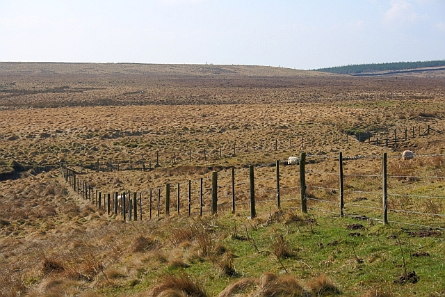
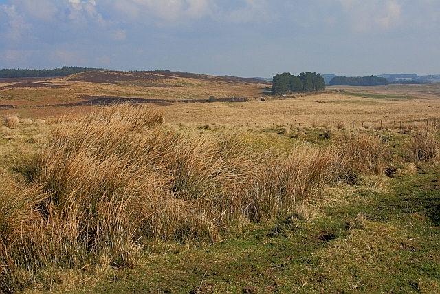
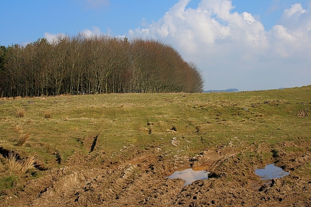
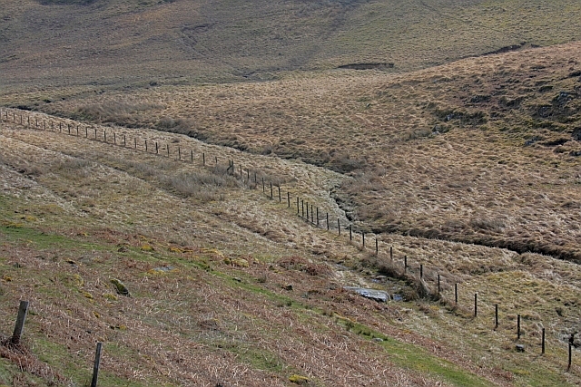
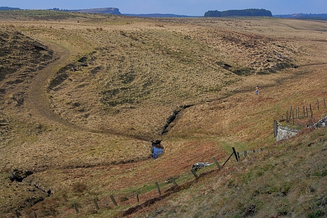
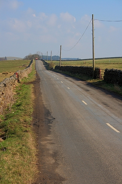
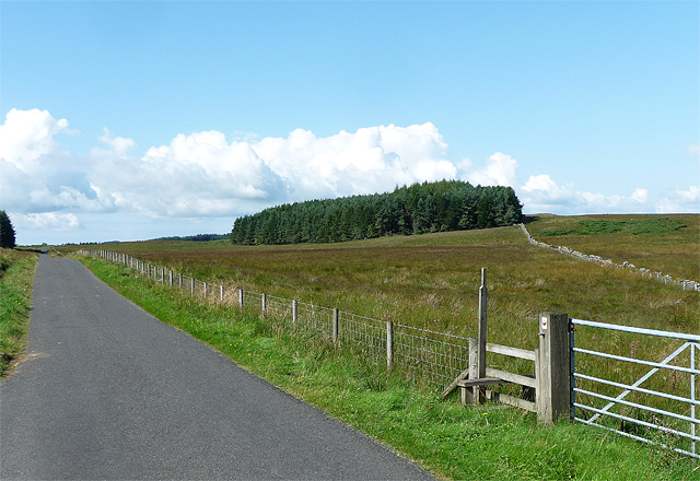
The woodland is intersected by several footpaths and trails, allowing visitors to explore the area and enjoy the tranquility of nature. These paths wind through the trees, offering glimpses of sunlight filtering through the foliage and providing stunning views of the surrounding countryside. It is an ideal location for hiking, jogging, or simply taking a leisurely stroll.
Berry Hills, Northumberland is a hidden gem, offering a peaceful and enchanting escape from the hustle and bustle of everyday life. It is a place where visitors can reconnect with nature, explore the beauty of a woodland ecosystem, and enjoy the serenity of the great outdoors.
If you have any feedback on the listing, please let us know in the comments section below.
Berry Hills Images
Images are sourced within 2km of 55.143687/-2.0558053 or Grid Reference NY9683. Thanks to Geograph Open Source API. All images are credited.


Berry Hills is located at Grid Ref: NY9683 (Lat: 55.143687, Lng: -2.0558053)
Unitary Authority: Northumberland
Police Authority: Northumbria
What 3 Words
///outs.pianists.beyond. Near Corsenside, Northumberland
Nearby Locations
Related Wikis

Sweethope Loughs
Sweethope Loughs are two freshwater lakes almost 1 mile (1.6 km) in length, the smaller one just east of the larger, in the southern part of Northumberland...
Bavington Crags
Bavington Crags is a Site of Special Scientific Interest (SSSI) in north Northumberland, England. The site is an outcropping of the Whin Sill which gives...
Little Harle Tower
Little Harle Tower is a Grade II* listed privately owned country house with 15th-century origins, located at Little Harle, Kirkwhelpington, Northumberland...

Kirkwhelpington
Kirkwhelpington is a village and civil parish in the English county of Northumberland about 13 miles (21 km) northeast of Hexham. It is on the River Wansbeck...

Knowesgate railway station
Knowesgate was a stone-built railway station with goods sidings in Northumberland, England on the Wansbeck Railway between Morpeth and Reedsmouth, which...

Thockrington
Thockrington is a village and former civil parish, now in the parish of Bavington, in Northumberland, England. The village lies about 10 miles (16 km)...

Northumberland
Northumberland ( nor-THUM-bər-lənd) is a ceremonial county in North East England, bordering Scotland. It is bordered by the Scottish Borders to the north...

Kirkharle Hall
Kirkharle Hall was a country house at Kirkharle, Northumberland, England, the former seat of the Loraine family, now much reduced and in use as a farmhouse...
Have you been to Berry Hills?
Leave your review of Berry Hills below (or comments, questions and feedback).