Old Firs Wood
Wood, Forest in Northumberland
England
Old Firs Wood
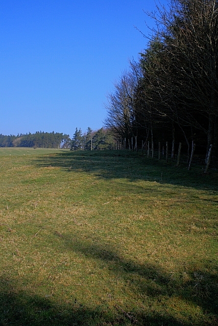
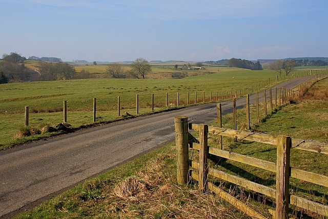
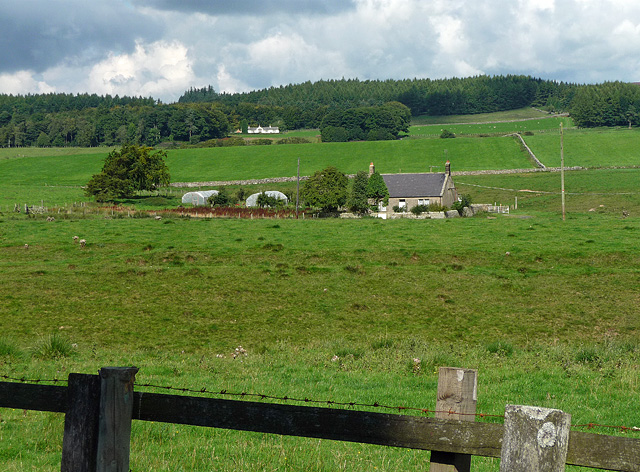
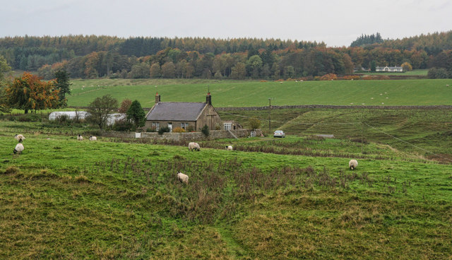
Old Firs Wood is a sprawling forest located in the scenic county of Northumberland, in the northeast of England. Covering an extensive area of approximately 500 acres, this wood is renowned for its natural beauty, diverse flora and fauna, and tranquil atmosphere. The wood is primarily composed of a variety of majestic fir trees, some of which are believed to be centuries old, giving the woodland its name.
The enchanting woodland offers a haven for nature enthusiasts and outdoor lovers alike. Visitors can explore the numerous winding trails that meander through the forest, providing opportunities for leisurely walks, hiking, and birdwatching. The wood is home to a multitude of bird species, including the striking woodpecker and the elusive tawny owl, making it a prime location for birdwatchers to observe and appreciate these stunning creatures in their natural habitat.
In addition to its rich avian population, Old Firs Wood is teeming with an array of other wildlife. Squirrels, rabbits, and deer can frequently be spotted darting through the dense undergrowth, adding to the charm and tranquility of the wood. As visitors delve deeper into the forest, they will discover hidden glades, babbling brooks, and picturesque ponds, creating a picturesque setting for picnics or moments of quiet reflection.
Old Firs Wood is a cherished natural treasure in Northumberland, attracting visitors from far and wide with its timeless beauty. Whether it be for a peaceful stroll, a family outing, or a chance to immerse oneself in the wonders of nature, this enchanting woodland offers an idyllic escape from the hustle and bustle of modern life.
If you have any feedback on the listing, please let us know in the comments section below.
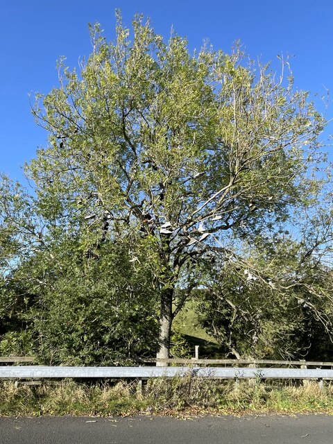
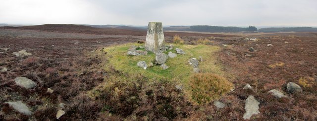
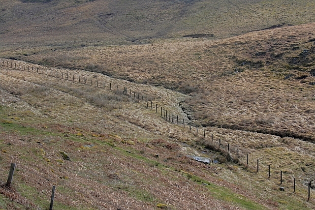
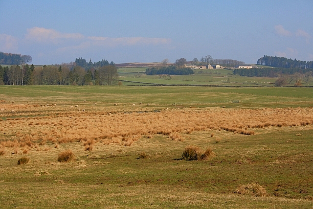
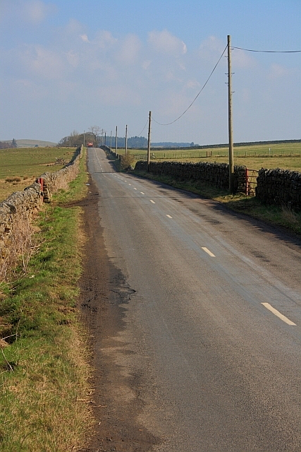
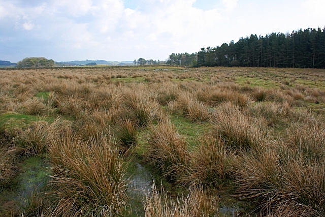
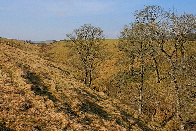
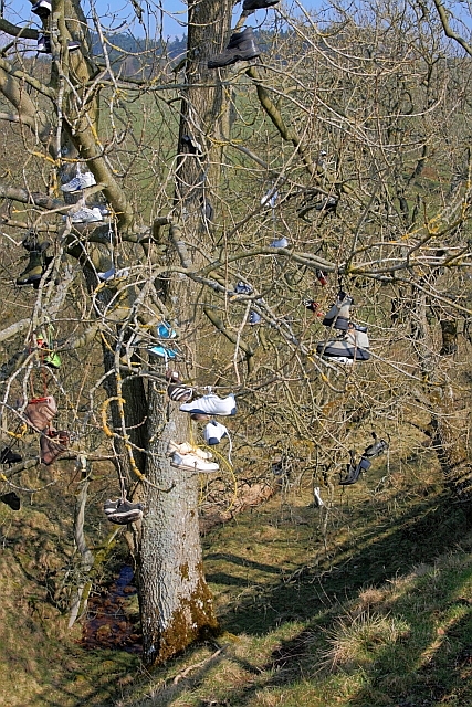
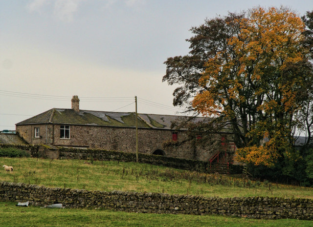
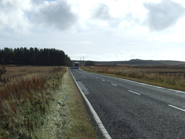
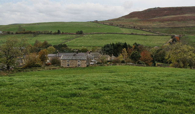
Old Firs Wood Images
Images are sourced within 2km of 55.167651/-2.0578012 or Grid Reference NY9685. Thanks to Geograph Open Source API. All images are credited.


Old Firs Wood is located at Grid Ref: NY9685 (Lat: 55.167651, Lng: -2.0578012)
Unitary Authority: Northumberland
Police Authority: Northumbria
What 3 Words
///fillings.advantage.roses. Near Corsenside, Northumberland
Nearby Locations
Related Wikis

Knowesgate railway station
Knowesgate was a stone-built railway station with goods sidings in Northumberland, England on the Wansbeck Railway between Morpeth and Reedsmouth, which...

Little Harle Tower
Little Harle Tower is a Grade II* listed privately owned country house with 15th-century origins, located at Little Harle, Kirkwhelpington, Northumberland...

Kirkwhelpington
Kirkwhelpington is a village and civil parish in the English county of Northumberland about 13 miles (21 km) northeast of Hexham. It is on the River Wansbeck...

Northumberland
Northumberland ( nor-THUM-bər-lənd) is a ceremonial county in North East England, bordering Scotland. It is bordered by the Scottish Borders to the north...
Sweethope Loughs
Sweethope Loughs are two freshwater lakes almost 1 mile (1.6 km) in length, the smaller one just east of the larger, in the southern part of Northumberland...
Bavington Crags
Bavington Crags is a Site of Special Scientific Interest (SSSI) in north Northumberland, England. The site is an outcropping of the Whin Sill which gives...
East Woodburn
East Woodburn is a village located in Northumberland, England. Located on the A68 road just south of Darney Crag, it was created in conjunction with the...

Kirkharle Hall
Kirkharle Hall was a country house at Kirkharle, Northumberland, England, the former seat of the Loraine family, now much reduced and in use as a farmhouse...
Nearby Amenities
Located within 500m of 55.167651,-2.0578012Have you been to Old Firs Wood?
Leave your review of Old Firs Wood below (or comments, questions and feedback).