The Belt

Wood, Forest in Gloucestershire Tewkesbury

England

The Belt

Teddington Hands ancient finger post, 1952 When this photo was taken five roads met at the junction. Later a roundabout was installed, and the finger post was moved. See <a href="https://www.geograph.org.uk/photo/712124">SO9633 : Teddington Hands, Teddington</a> for 2008 photo and history. There are five roads meeting, but six fingers; B4077 leads to Stow over the Cotswolds, and a side road leads off it to Winchcombe. The arms are literally finger posts, each arm ends in a hand carved with pointing fingers.
Teddington Hands ancient finger post, 1952 Credit: David Hawgood

The Belt is a wood located in the county of Gloucestershire, England. It is situated within the larger area known as the Forest of Dean, a renowned ancient woodland. The Belt covers an area of approximately 300 hectares and is characterized by its dense canopy of trees, predominantly composed of oak and beech. These trees provide a rich habitat for a diverse range of flora and fauna.

The wood is a popular destination for nature enthusiasts, hikers, and birdwatchers, offering a tranquil and picturesque setting. The forest floor is adorned with carpets of bluebells and other wildflowers during the spring, creating a vibrant and colorful landscape. Various species of birds can be spotted here, including woodpeckers, owls, and buzzards, making it a haven for birdwatching enthusiasts.

The Belt also holds historical significance, as it is believed to have been used as a hunting ground by ancient civilizations. Evidence of prehistoric settlements has been discovered in the surrounding area, further adding to its archaeological importance.

In recent years, efforts have been made to preserve the natural beauty and biodiversity of The Belt. Conservation projects have been implemented to protect the woodland and its inhabitants, ensuring its sustainability for future generations.

Overall, The Belt in Gloucestershire is a cherished natural treasure, offering a sanctuary for wildlife and a peaceful retreat for visitors to enjoy the beauty of the Forest of Dean.

If you have any feedback on the listing, please let us know in the comments section below.
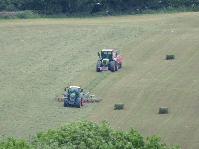
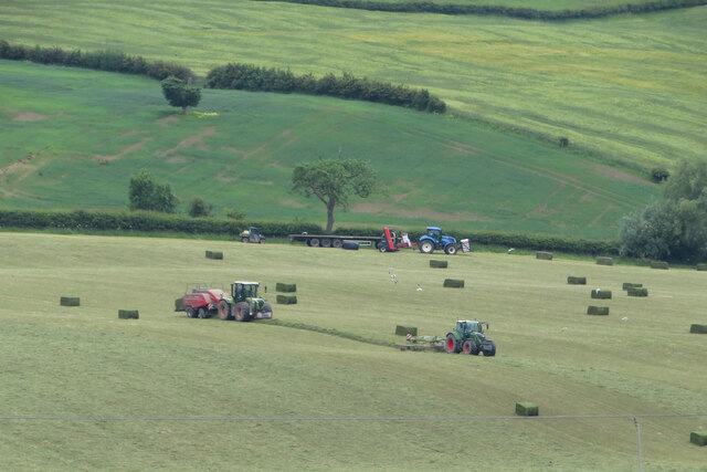
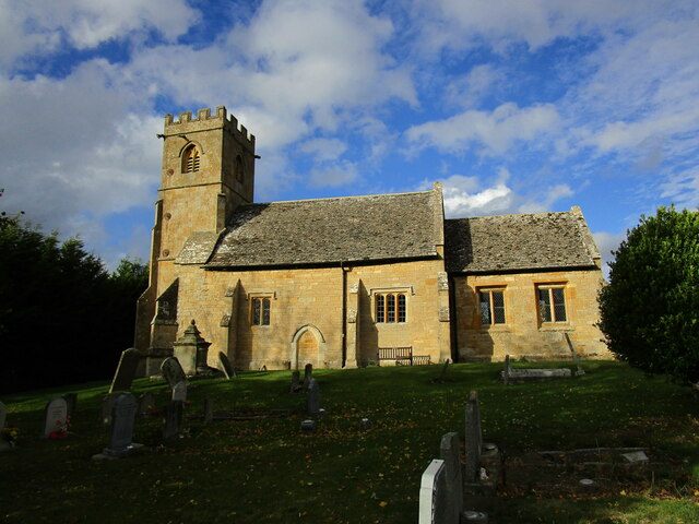
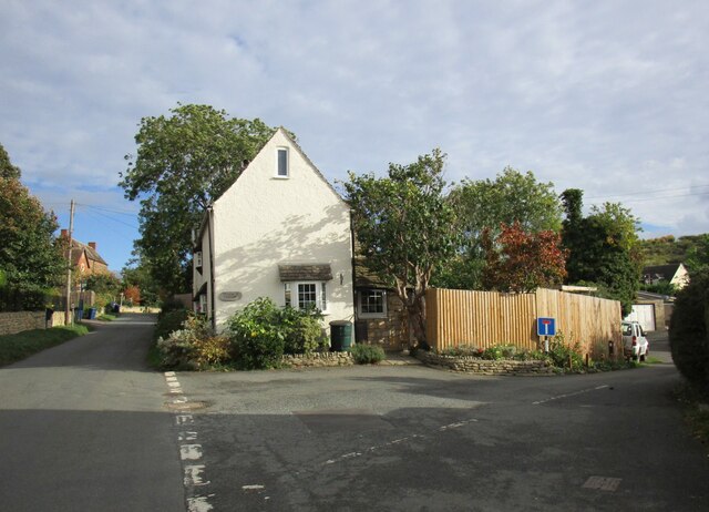
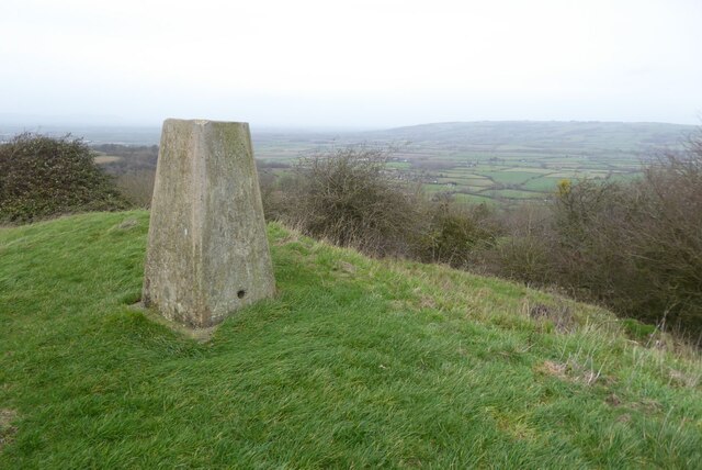
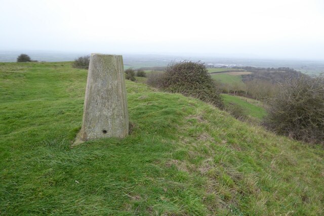
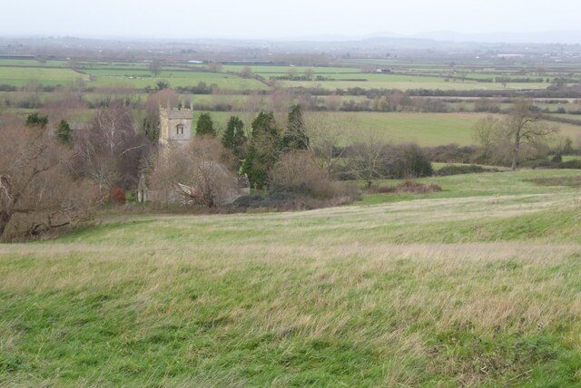
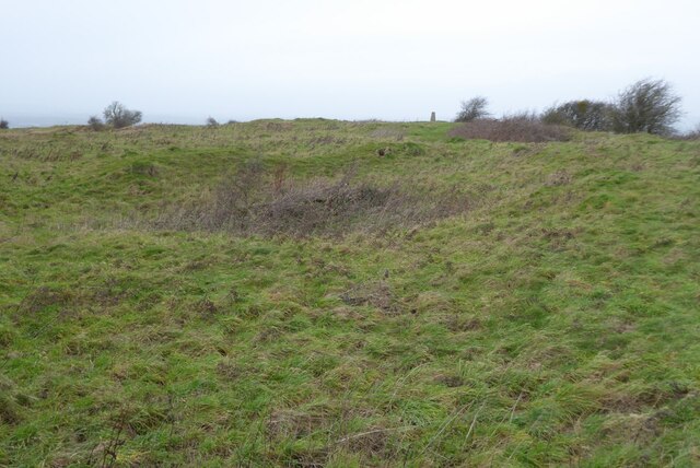
The Belt Images

Images are sourced within 2km of 51.988502/-2.0551306 or Grid Reference SO9632. Thanks to Geograph Open Source API. All images are credited.

Teddington Hands ancient finger post, 1952 When this photo was taken five roads met at the junction. Later a roundabout was installed, and the finger post was moved. See <a href="https://www.geograph.org.uk/photo/712124">SO9633 : Teddington Hands, Teddington</a> for 2008 photo and history. There are five roads meeting, but six fingers; B4077 leads to Stow over the Cotswolds, and a side road leads off it to Winchcombe. The arms are literally finger posts, each arm ends in a hand carved with pointing fingers.
Teddington Hands ancient finger post, 1952
When this photo was taken five roads met at the junction. Later a roundabout was installed, and the finger post was moved. See SO9633 : Teddington Hands, Teddington for 2008 photo and history. There are five roads meeting, but six fingers; B4077 leads to Stow over the Cotswolds, and a side road leads off it to Winchcombe. The arms are literally finger posts, each arm ends in a hand carved with pointing fingers.
Maize crop, Oxenton Off the A435.
Maize crop, Oxenton
Off the A435.
Gloucestershire Way Footpath off the A435, Oxenton
Bus stop on the A435, Oxenton Looking north.
Bus stop on the A435, Oxenton
Looking north.
Cut silage field and hedgerow  Looking east towards the A435.
Cut silage field and hedgerow
Looking east towards the A435.
Field of beans near Oxenton
Footpath towards the B4079 Little used path - looking south.
Footpath towards the B4079
Little used path - looking south.
Field margin near Pamington Off the B4079.
Field margin near Pamington
Off the B4079.
Crop field off the B4079 near Pamington
Sharp bend in the B4079 towards Pamington
Farming near Gotherington Raking and baling is taking place on a hillside field.
Farming near Gotherington
Raking and baling is taking place on a hillside field.
Farming near Gotherington Raking and baling are in operation on a hillside field near Gotherington.
Farming near Gotherington
Raking and baling are in operation on a hillside field near Gotherington.
Church of St Nicholas, Teddington The church contain substantial Norman work <span class="nowrap"><a title="https://historicengland.org.uk/listing/the-list/list-entry/1340161?section=official-list-entry" rel="nofollow ugc noopener" href="https://historicengland.org.uk/listing/the-list/list-entry/1340161?section=official-list-entry">Link</a><img style="margin-left:2px;" alt="External link" title="External link - shift click to open in new window" src="https://s1.geograph.org.uk/img/external.png" width="10" height="10"/></span>
Teddington was transferred from Worcestershire to Gloucestershire in 1931 but the ecclesiastical parish still remains in the Diocese of Worcester.
Church of St Nicholas, Teddington
The church contain substantial Norman work LinkExternal link Teddington was transferred from Worcestershire to Gloucestershire in 1931 but the ecclesiastical parish still remains in the Diocese of Worcester.
Road junction in Teddington
Trig point on Oxenton Hill View towards Bredon Hill, the largest of the Cotswolds outliers, from the trig point on Oxenton Hill.  This picture was taken soon after midday on New Year's Day.  Not such a good day weather-wise compared to when I visited this hill top almost fifteen years ago <a href="https://www.geograph.org.uk/photo/713326">SO9731 : Trig Point on Oxenton Hill</a>.
Trig point on Oxenton Hill
View towards Bredon Hill, the largest of the Cotswolds outliers, from the trig point on Oxenton Hill. This picture was taken soon after midday on New Year's Day. Not such a good day weather-wise compared to when I visited this hill top almost fifteen years ago SO9731 : Trig Point on Oxenton Hill.
Trig Point on Oxenton Hill View from the trig point on Oxenton Hill; the Malvern Hills are just visible on the hazy horizon.  Not such a good day weather-wise compared to when I visited this hill top almost fifteen years ago <a href="https://www.geograph.org.uk/photo/713326">SO9731 : Trig Point on Oxenton Hill</a>.
Trig Point on Oxenton Hill
View from the trig point on Oxenton Hill; the Malvern Hills are just visible on the hazy horizon. Not such a good day weather-wise compared to when I visited this hill top almost fifteen years ago SO9731 : Trig Point on Oxenton Hill.
View over Oxenton church View over the Severn valley from above the village of Oxenton.  The tower of St John the Baptist church can be seen in the foreground.
View over Oxenton church
View over the Severn valley from above the village of Oxenton. The tower of St John the Baptist church can be seen in the foreground.
The Knolls, Oxenton Hill The summit of Oxenton Hill is known as the Knolls and is the site of an Iron Age settlement rather than a hill fort. The site was excavated in 1932 and some Iron Age pottery was found.  The trig point can be seen on the horizon to the right. 
 This is an approximate recreation of the first picture uploaded in this grid square <a href="https://www.geograph.org.uk/photo/247709">SO9731 : The top of  Oxenton Hill</a>.
The Knolls, Oxenton Hill
The summit of Oxenton Hill is known as the Knolls and is the site of an Iron Age settlement rather than a hill fort. The site was excavated in 1932 and some Iron Age pottery was found. The trig point can be seen on the horizon to the right. This is an approximate recreation of the first picture uploaded in this grid square SO9731 : The top of Oxenton Hill.
Show me another place!

The Belt is located at Grid Ref: SO9632 (Lat: 51.988502, Lng: -2.0551306)

Administrative County: Gloucestershire

District: Tewkesbury

Police Authority: Gloucestershire

What 3 Words

///vets.weekends.handicaps. Near Bishops Cleeve, Gloucestershire

Nearby Locations

The Belt Teddington Grove

Related Wikis

Teddington, Gloucestershire

Teddington is a village and parish in Gloucestershire, England. == Population == The village had a population of less than 300, of which the majority were...

Oxenton

Oxenton is a village and civil parish 11 miles (18 km) north east of Gloucester, in the Tewkesbury district, in the county of Gloucestershire, England...

Bengrove

Bengrove is a village in Gloucestershire, England. It lies between Teddington and Alstone. Bengrove, Teddington and Alstone now lie in the Anglican Diocese...

Dixton Wood

Dixton Wood (grid reference SO979313) is a 13.14-hectare (32.5-acre) biological Site of Special Scientific Interest in Gloucestershire, notified in 2000...

Alstone, Tewkesbury

Alstone is a village and former civil parish, now in the parish of Teddington, in the Tewkesbury district, in the county of Gloucestershire, England, situated...

Woolstone, Gloucestershire

Woolstone is a village and former civil parish now in the parish of Oxenton, in the Tewkesbury district, in the county of Gloucestershire, England. It...

Gotherington

Gotherington is a small village north of Bishops Cleeve in Gloucestershire, England. It is surrounded on the north by the villages of Woolstone and Oxenton...

Gotherington railway station

Gotherington railway station is a railway station serving the village of Gotherington in Gloucestershire, England. The station is located just to the north...

Nearby Amenities

Located within 500m of 51.988502,-2.0551306
Ele: 150
Natural: peak
Lat/Long: 51.9867811/-2.0557371
Barrier: kissing_gate
Foot: designated
Lat/Long: 51.9899282/-2.0568808
Barrier: kissing_gate
Foot: designated
Lat/Long: 51.9927539/-2.0550097
Barrier: kissing_gate
Foot: designated
Lat/Long: 51.9916638/-2.0554334
Barrier: kissing_gate
Foot: designated
Lat/Long: 51.9911649/-2.0554156
Barrier: kissing_gate
Foot: designated
Lat/Long: 51.9929227/-2.0548102
The data included in this document is from www.openstreetmap.org. The data is made available under ODbL.

Have you been to The Belt?

Leave your review of The Belt below (or comments, questions and feedback).