Wraxworthy Plantation
Wood, Forest in Wiltshire
England
Wraxworthy Plantation
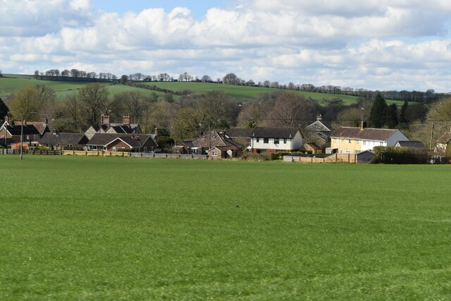
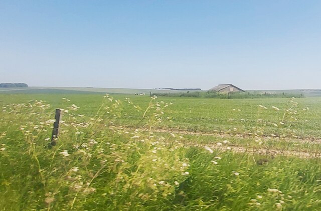
Wraxworthy Plantation is a sprawling woodland located in the county of Wiltshire, England. Situated in the rolling hills and picturesque landscape of the region, this plantation covers an extensive area of approximately 500 acres. It is known for its rich biodiversity and serves as a vital habitat for numerous plant and animal species.
The woodland predominantly consists of various species of deciduous trees, including oak, beech, and ash. These towering trees create a dense canopy, casting a cool and peaceful atmosphere throughout the plantation. Underneath the canopy, a diverse understory of shrubs, ferns, and wildflowers thrives, providing a haven for wildlife.
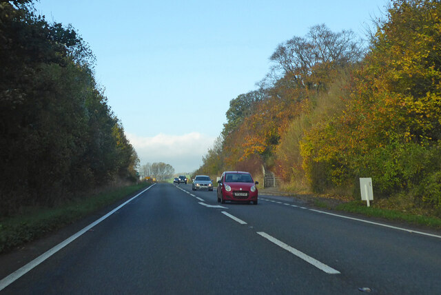
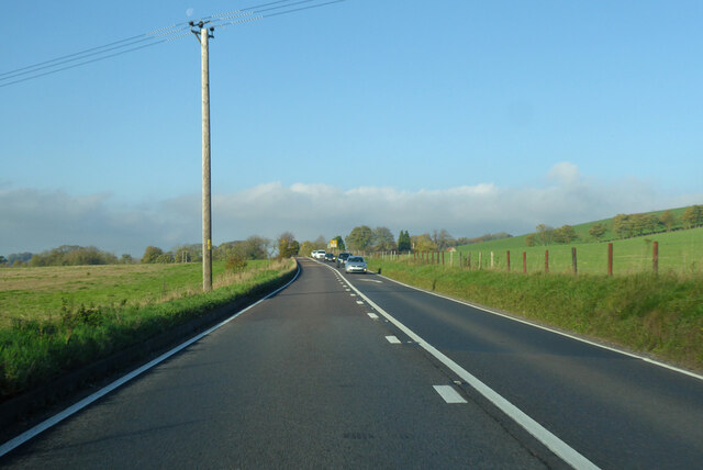
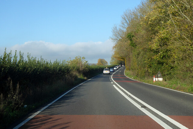
The plantation is crisscrossed by several well-maintained trails, allowing visitors to explore its natural beauty and enjoy peaceful walks amidst the tranquil surroundings. Along these trails, one can discover a wide range of flora and fauna, including bluebells, foxgloves, and wood anemones, as well as various bird species such as woodpeckers, owls, and songbirds.
Wraxworthy Plantation is not only a haven for nature enthusiasts but also serves as an important carbon sink, contributing to the reduction of greenhouse gases in the atmosphere. It also plays a crucial role in water management, helping to prevent flooding by absorbing excess rainfall and releasing it slowly into the surrounding ecosystem.
Overall, Wraxworthy Plantation in Wiltshire offers a serene escape from the hustle and bustle of daily life, providing a remarkable natural environment for people to connect with nature and appreciate the beauty of the English countryside.
If you have any feedback on the listing, please let us know in the comments section below.
Wraxworthy Plantation Images
Images are sourced within 2km of 51.173607/-2.0552071 or Grid Reference ST9641. Thanks to Geograph Open Source API. All images are credited.


Wraxworthy Plantation is located at Grid Ref: ST9641 (Lat: 51.173607, Lng: -2.0552071)
Unitary Authority: Wiltshire
Police Authority: Wiltshire
What 3 Words
///showcases.porridge.fortnight. Near Codford, Wiltshire
Nearby Locations
Related Wikis
Greenways School
Greenways School, also known as Greenways Preparatory School, was an English prep school, founded at Bognor Regis, Sussex, before the Second World War...
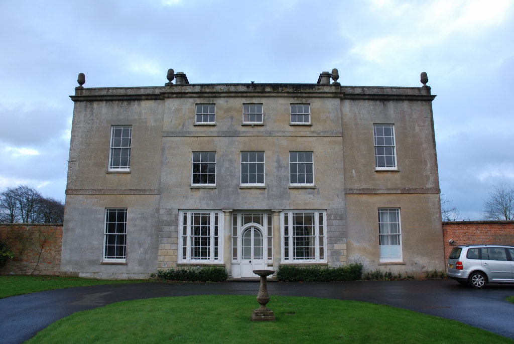
Ashton Gifford House
Ashton Gifford House is a Grade II listed country house in the hamlet of Ashton Gifford, part of the civil parish of Codford in the English county of Wiltshire...

Codford railway station
Codford railway station was an intermediate station on the Salisbury branch line of the Great Western Railway built along the Wylye valley to connect Warminster...

Woolstore Theatre
The Woolstore Theatre is a theatre in the village of Codford, Wiltshire, England. The theatre has been operating since 1928, when it was built by Colonel...

Codford
Codford is a civil parish south of Salisbury Plain in the Wylye Valley in Wiltshire, England. Its settlements are the adjacent villages of Codford St Peter...

Upton Lovell
Upton Lovell is a village and civil parish in Wiltshire, England. It lies on the A36, in the Wylye valley about 5 miles (8.0 km) southeast of Warminster...

Aston Valley Barrow Cemetery
The Aston Valley Barrow Cemetery, or Ashton Valley Barrow Cemetery, is a group of Bronze Age bowl barrow and bell barrow tumuli on the south facing edge...
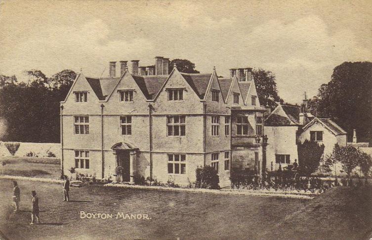
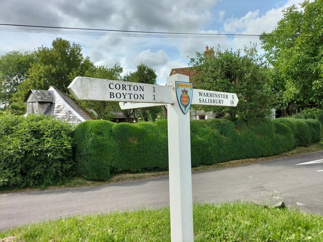
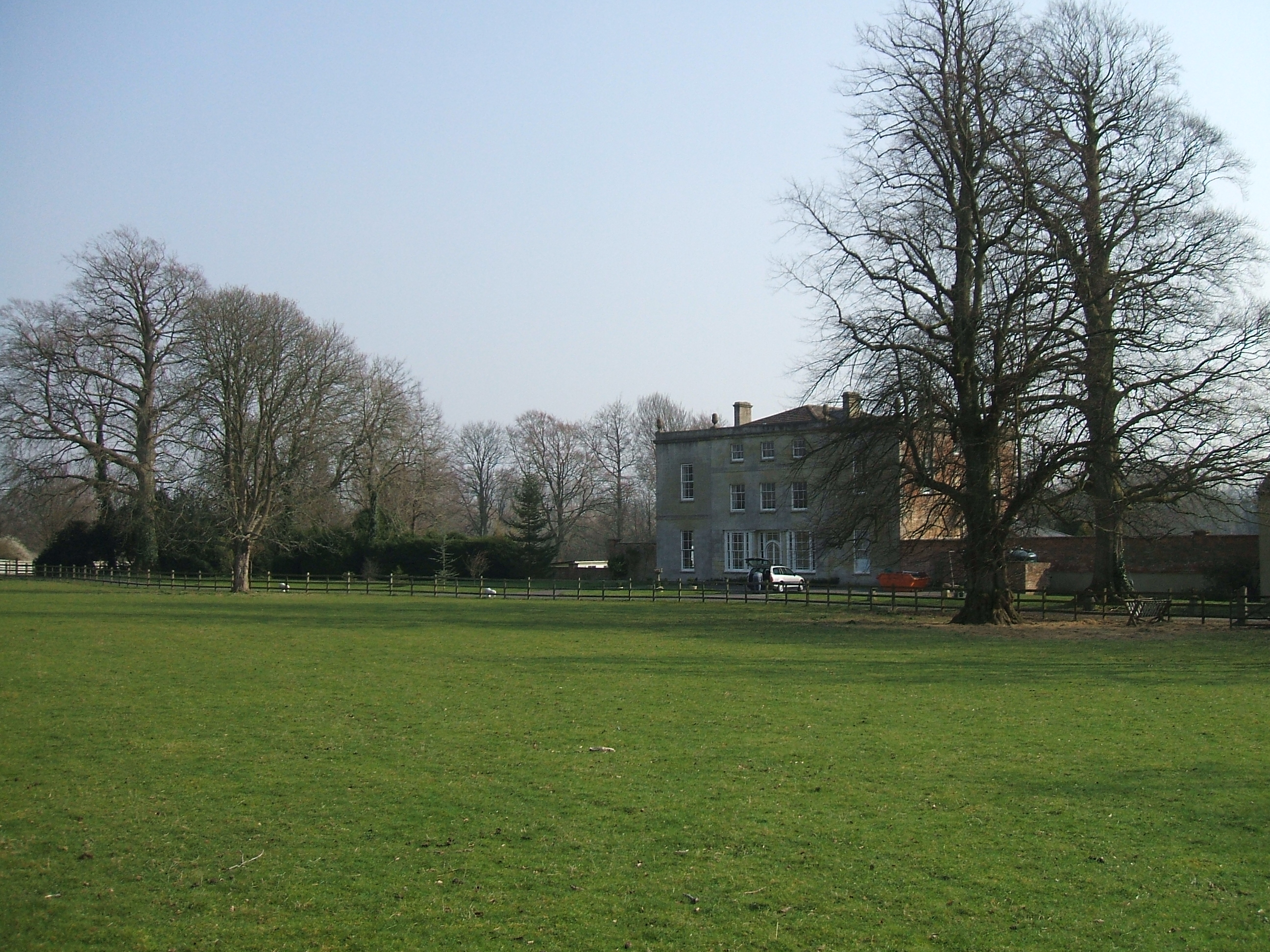
Boyton, Wiltshire
Boyton is a village and civil parish in Wiltshire, England. It lies in the Wylye Valley within Salisbury Plain, about 6 miles (10 km) south-east of Warminster...
Have you been to Wraxworthy Plantation?
Leave your review of Wraxworthy Plantation below (or comments, questions and feedback).