Back Wood

Wood, Forest in Northumberland

England

Back Wood

Bridge over Harthope Burn Hill below Langlee and Housey Crags in background
Bridge over Harthope Burn Credit: Ray Byrne

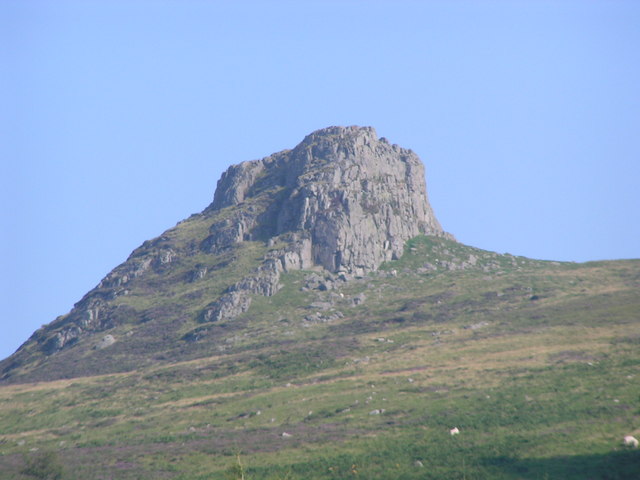
Back Wood is a charming woodland located in the Northumberland region of England. Situated in the heart of the county, this forested area covers an approximate area of 100 acres and is a haven for nature enthusiasts and outdoor adventurers alike.

The woodland is characterized by its dense canopy of trees, predominantly consisting of native species such as oak, beech, and birch. These trees create a serene and tranquil atmosphere, providing a picturesque backdrop for visitors to enjoy. The forest floor is carpeted with vibrant green ferns and moss, while bluebells and wildflowers add splashes of color during the spring and summer months.

Back Wood is home to a diverse range of wildlife, including numerous bird species, small mammals, and insects. Birdwatchers can spot species such as woodpeckers, owls, and red kites, while lucky visitors may catch a glimpse of deer or foxes roaming through the undergrowth.

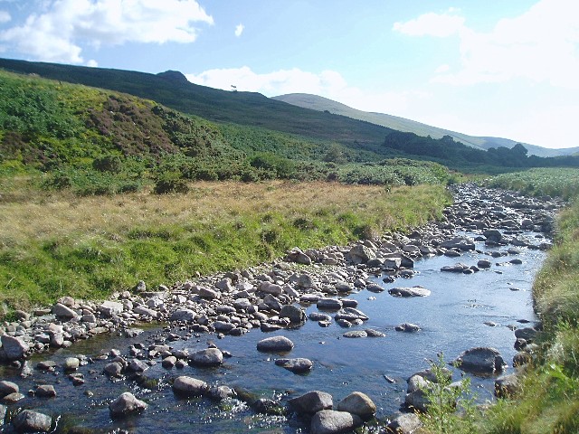
The woodland offers a network of well-maintained trails and paths, making it an ideal location for walking, hiking, and cycling. These routes cater to all levels of fitness and provide opportunities to explore the forest's hidden gems, such as secluded ponds and babbling brooks.

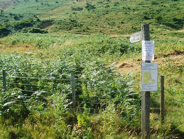
Visitors to Back Wood are advised to come prepared with appropriate footwear, as the forest terrain can be uneven and muddy in places. Additionally, the woodland is managed by a local conservation group, so it is important to respect the environment and follow any guidelines or restrictions in place.

Overall, Back Wood in Northumberland offers a peaceful and enchanting escape for those seeking a connection with nature and a chance to immerse themselves in the beauty of the English countryside.

If you have any feedback on the listing, please let us know in the comments section below.

Back Wood Images

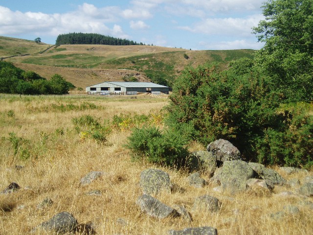
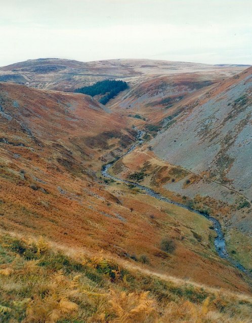
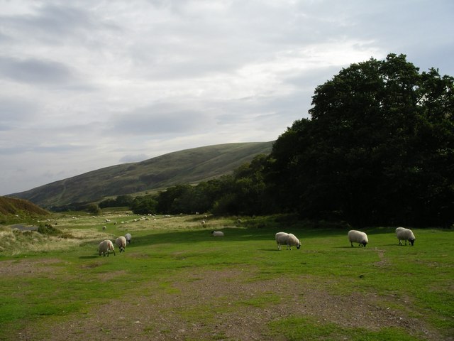
Images are sourced within 2km of 55.50595/-2.0624935 or Grid Reference NT9623. Thanks to Geograph Open Source API. All images are credited.

Bridge over Harthope Burn Hill below Langlee and Housey Crags in background
Bridge over Harthope Burn
Hill below Langlee and Housey Crags in background
Housey Crags Viewed from across the Harthope Burn.
Housey Crags
Viewed from across the Harthope Burn.
Harthope Burn Taken near the road to Langleeford.  The hill in the far distance is Hedgehope Hill.
Harthope Burn
Taken near the road to Langleeford. The hill in the far distance is Hedgehope Hill.
Harthope Valley near Langleeford View over an old railway wagon toward Langlee Crags.
Harthope Valley near Langleeford
View over an old railway wagon toward Langlee Crags.
Fire risk sign The extremely dry summer of 2006 has led to the risk of fire in many areas.  In this photo, a signpost pointing to the footpath to Cold Law has an extra sign pinned to it: "Danger   Extreme Fire Risk   Please take care".
Fire risk sign
The extremely dry summer of 2006 has led to the risk of fire in many areas. In this photo, a signpost pointing to the footpath to Cold Law has an extra sign pinned to it: "Danger Extreme Fire Risk Please take care".
In the Harthope Valley View from the west bank of the Harthope Burn, south-west of Wooler.
In the Harthope Valley
View from the west bank of the Harthope Burn, south-west of Wooler.
Harthope Valley - Cheviots Autumn colours in the Harthope Valley with a sprinkling of early snow on The Cheviot.
Harthope Valley - Cheviots
Autumn colours in the Harthope Valley with a sprinkling of early snow on The Cheviot.
Deeply incised valley of the Carey Burn This steep sided valley, complete with scree slopes below Hart Heugh, would appear to be a glacial overflow channel.
Deeply incised valley of the Carey Burn
This steep sided valley, complete with scree slopes below Hart Heugh, would appear to be a glacial overflow channel.
Hazelly Burn looking to Broadstruther
Harthope Burn, near Langleeford
Langlee Crags, Harthope Valley. Taken from the path from Harthope Valley to Threestoneburn Wood
Langlee Crags, Harthope Valley.
Taken from the path from Harthope Valley to Threestoneburn Wood
Stell above The Shank in Harthope Valley Taken from the path to Langlee Crags
Stell above The Shank in Harthope Valley
Taken from the path to Langlee Crags
Carling Crags Carling Crags on the north eastern spur of Cold Law. For free detailed walking routes in the area visit <span class="nowrap"><a title="www.cheviotwalks.co.uk" rel="nofollow ugc noopener" href="http://www.cheviotwalks.co.uk">Link</a><img style="margin-left:2px;" alt="External link" title="External link - shift click to open in new window" src="https://s1.geograph.org.uk/img/external.png" width="10" height="10"/></span>
Carling Crags
Carling Crags on the north eastern spur of Cold Law. For free detailed walking routes in the area visit LinkExternal link
Housey crags East side of Housey Crags
Housey crags
East side of Housey Crags
Footpath near Holly Cleugh
Cold Law Trig point Looking north with the twin summits of Yeavering Bell in the distance.
Cold Law Trig point
Looking north with the twin summits of Yeavering Bell in the distance.
Cairn looking directly towards the summit of Hedgehope Hill This was a bitterly cold day on Cold Law. Patches of snow are visible around the top of Hedgehope Hill.
Cairn looking directly towards the summit of Hedgehope Hill
This was a bitterly cold day on Cold Law. Patches of snow are visible around the top of Hedgehope Hill.
Rear of plantation on north-western side of the Harthope Valley Climbing away from Pinkie Sike alongside the alders of Back Wood with Brands Hill in the distance. For free detailed walking routes in the area visit <span class="nowrap"><a title="www.cheviotwalks.co.uk" rel="nofollow ugc noopener" href="http://www.cheviotwalks.co.uk">Link</a><img style="margin-left:2px;" alt="External link" title="External link - shift click to open in new window" src="https://s1.geograph.org.uk/img/external.png" width="10" height="10"/></span>
Rear of plantation on north-western side of the Harthope Valley
Climbing away from Pinkie Sike alongside the alders of Back Wood with Brands Hill in the distance. For free detailed walking routes in the area visit LinkExternal link
Show me another place!

Back Wood is located at Grid Ref: NT9623 (Lat: 55.50595, Lng: -2.0624935)

Unitary Authority: Northumberland

Police Authority: Northumbria

What 3 Words

///broom.pranced.noisy. Near Wooler, Northumberland

Nearby Locations

Back Wood

Related Wikis

Threestoneburn Stone Circle

Threestoneburn Stone Circle is an archaeological site, a stone circle near the village of Ilderton and about 5 miles (8 km) south of Wooler, in Northumberland...

Earle, Northumberland

Earle is a village and civil parish in county of Northumberland, England. It has around 20 inhabitants and is about 2 miles (3 km) from Wooler (where from...

Hedgehope Hill

Hedgehope Hill is a mountain in the Cheviot Hills of north Northumberland in northeast England, and categorised as a Hewitt. At a height of 714 metres...

Humbleton Hill

Humbleton Hill is a hill in Northumberland, England, about 1.5 miles (2.4 km) west of Wooler. It is the location of the Battle of Homildon Hill of 1402...

Related Videos

Carey Burn Waterfall | Google Maps Nightmare | Camping in Wooler-Day 4

Fourth part of a 4 part series of our camping trip which started on 11th June 2021. Part 4 features our search for what seemed to ...

How not to hike The Cheviot

If there's anything to learn from this video it is how the weather can change between the valley floor and the fells....... and that my ...

There and back again, the Wild Camping that never happened

Backpacking towards Langlee Crags with our stinky dog.

Nearby Amenities

Located within 500m of 55.50595,-2.0624935
Langlee
Place: locality
Lat/Long: 55.5035724/-2.0565264
Barrier: cattle_grid
Lat/Long: 55.5032407/-2.0597918
Pinkie Shank
Place: locality
Lat/Long: 55.5023221/-2.0664595
The data included in this document is from www.openstreetmap.org. The data is made available under ODbL.

Have you been to Back Wood?

Leave your review of Back Wood below (or comments, questions and feedback).