Harry's Wood

Wood, Forest in Lancashire

England

Harry's Wood

A672 at Old Tame
A672 at Old Tame Credit: Colin Pyle

The requested URL returned error: 429 Too Many Requests

If you have any feedback on the listing, please let us know in the comments section below.
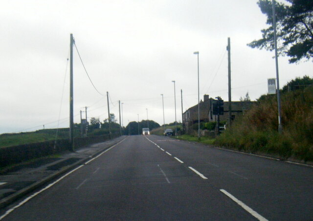
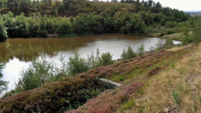
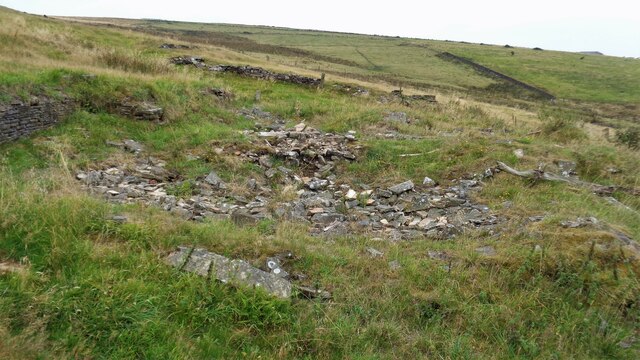
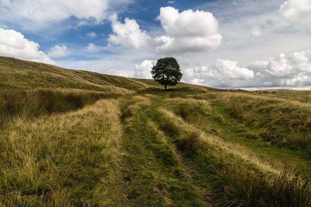
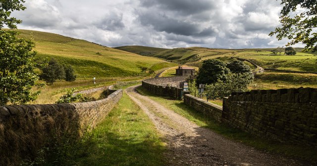
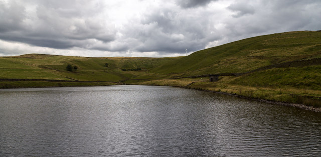
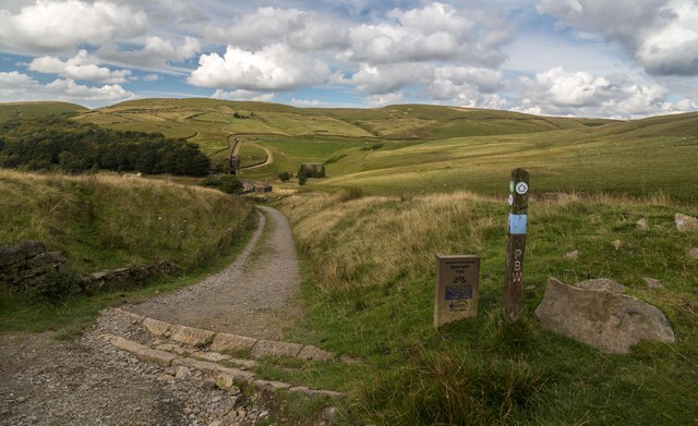
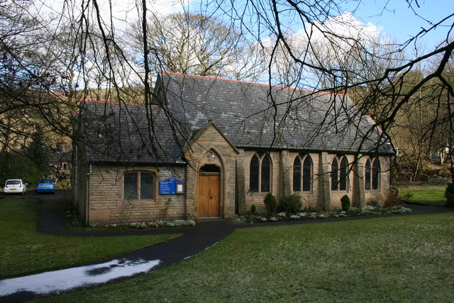
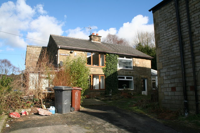
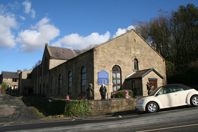
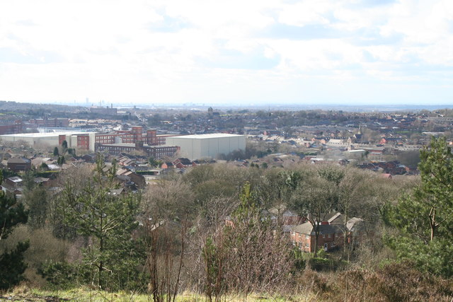
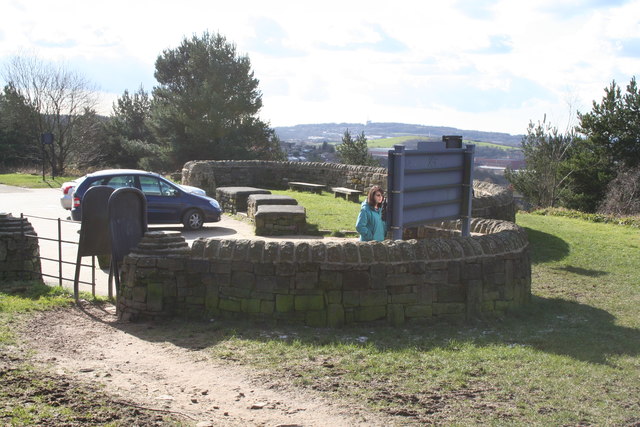
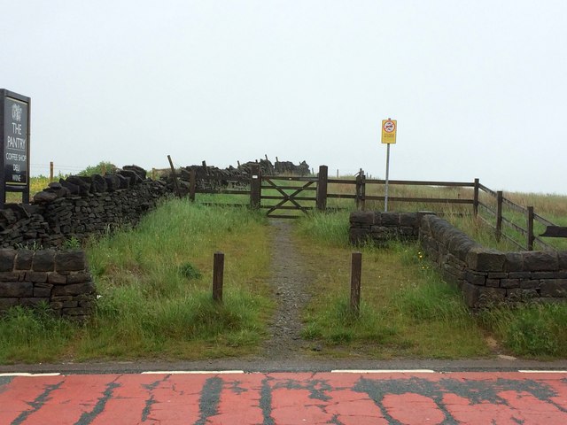
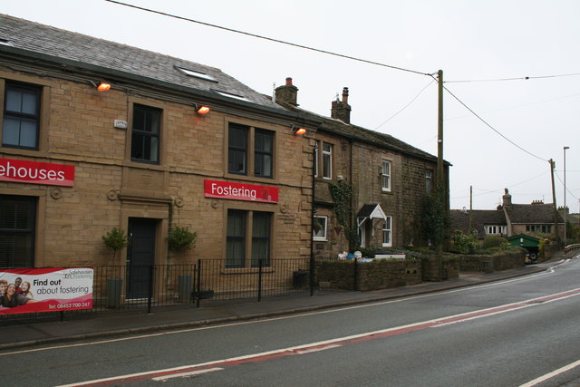
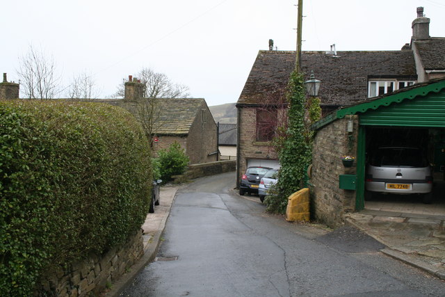
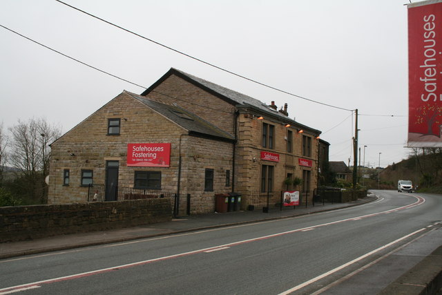
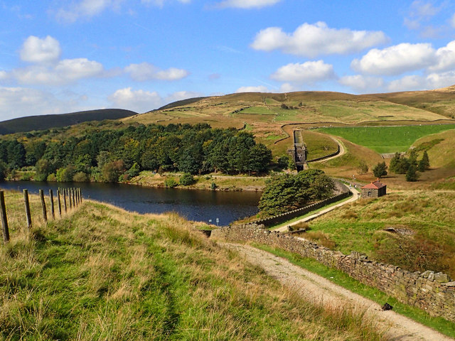
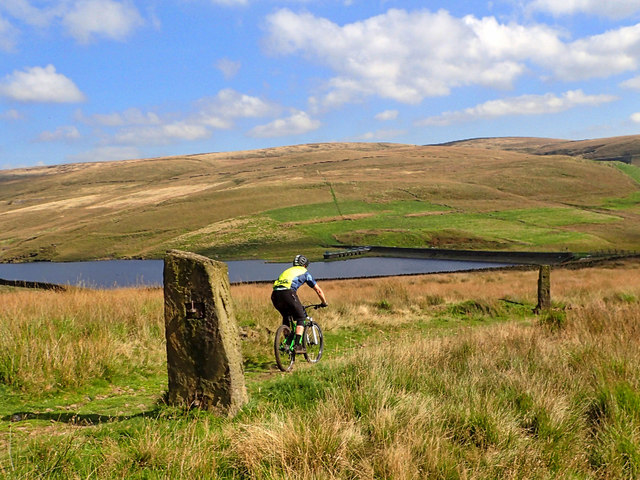
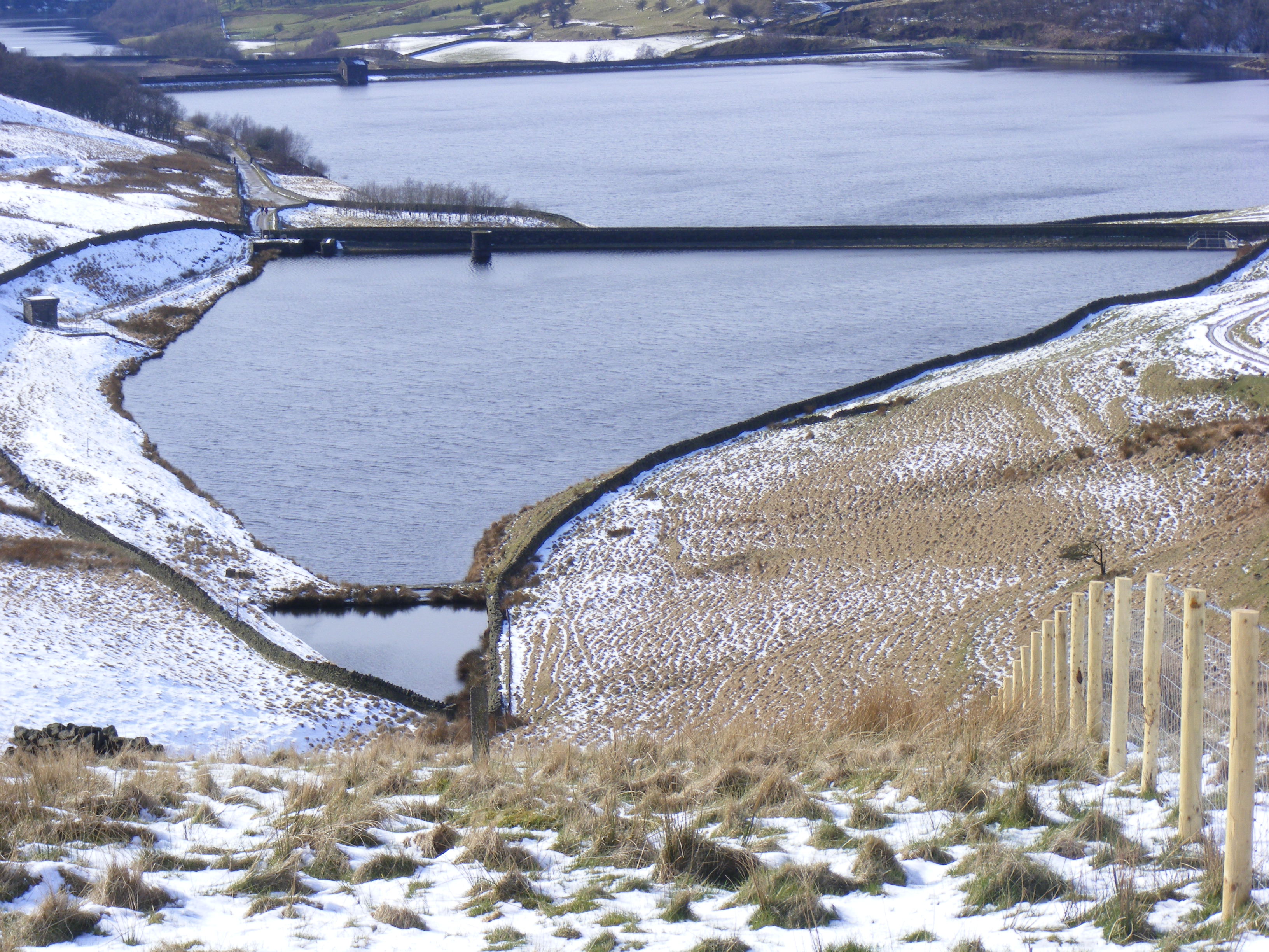
Harry's Wood Images

Images are sourced within 2km of 53.597536/-2.060099 or Grid Reference SD9611. Thanks to Geograph Open Source API. All images are credited.

A672 at Old Tame
A672 at Old Tame
Brushes Clough Reservoir View from the Crompton Circuit trail
Brushes Clough Reservoir
View from the Crompton Circuit trail
Remains of Rough Quite an extensive former farmhouse site
Remains of Rough
Quite an extensive former farmhouse site
Kitcliffe Track above Kitcliffe.
Kitcliffe
Track above Kitcliffe.
Piethorne Reservoir Track at the head of Piethorne Reservoir.
Piethorne Reservoir
Track at the head of Piethorne Reservoir.
Hanging Lees Reservoir View looking across Hanging Lees Reservoir.
Hanging Lees Reservoir
View looking across Hanging Lees Reservoir.
Cold Greave View looking down the path leading to Cold Greave.
Cold Greave
View looking down the path leading to Cold Greave.
Shaw: St. Saviour's Church, Buckstones Road
Shaw: Shore Edge, Grand Stand cottages Many, msny years ago, I had a girl friend who lived in one of these cottages. (There were three then, now converted to two).  My only means of transport then were a bicycle and a pair of legs.  Anyone who has ever walked up here from Shaw will understand why I did not visit her very often. But the view is amazing.
Shaw: Shore Edge, Grand Stand cottages
Many, msny years ago, I had a girl friend who lived in one of these cottages. (There were three then, now converted to two). My only means of transport then were a bicycle and a pair of legs. Anyone who has ever walked up here from Shaw will understand why I did not visit her very often. But the view is amazing.
Shaw: Shore Edge Methodist church Grand Stand cottages are seen in the background.
Shaw: Shore Edge Methodist church
Grand Stand cottages are seen in the background.
View over Shaw from Brushes Clough Just above Shore Edge a track leads to this viewpoint which affords a view for many miles.
View over Shaw from Brushes Clough
Just above Shore Edge a track leads to this viewpoint which affords a view for many miles.
Shaw:  The viewpoint at Brushes Clough
Shaw: The viewpoint at Brushes Clough
Pennine Bridleway leaves the A672
Old Tame:  Site of the 'Golden Fleece' Old Tame is a moorland hamlet on the A672 between Denshaw and Ripponden.  The OS map Has a 'pint pot' symbol, but there is no pub here now, the former 'Golden Fleece' is now closed.
Old Tame: Site of the 'Golden Fleece'
Old Tame is a moorland hamlet on the A672 between Denshaw and Ripponden. The OS map Has a 'pint pot' symbol, but there is no pub here now, the former 'Golden Fleece' is now closed.
Old Tame: Horest Lane This lane leads down from the main A672 road at Old Tame.  There was formerly a`small`mill`down here but that has long gone.
Old Tame: Horest Lane
This lane leads down from the main A672 road at Old Tame. There was formerly a`small`mill`down here but that has long gone.
Old Tame:  Site of the 'Golden Fleece' On the A672.
Old Tame: Site of the 'Golden Fleece'
On the A672.
Piethorne Reservoir It's always good to explore a new area. Bleakedgate Moor, in the South Pennines south of the M62 is an area I have never been on. As the name says a bleak place, with hard gritstone tracks, tussocky moorland and black peaty bogs. But a warm, sunny day and a pleasant break on the way back from Manchester.

This is Piethorne Reservoir, built in the 1860s, it is one of several reservoirs in the Piethorne Valley to provide a water supply to the people of Oldham.
Piethorne Reservoir
It's always good to explore a new area. Bleakedgate Moor, in the South Pennines south of the M62 is an area I have never been on. As the name says a bleak place, with hard gritstone tracks, tussocky moorland and black peaty bogs. But a warm, sunny day and a pleasant break on the way back from Manchester. This is Piethorne Reservoir, built in the 1860s, it is one of several reservoirs in the Piethorne Valley to provide a water supply to the people of Oldham.
Norman Hill Reservoir
Show me another place!

Harry's Wood is located at Grid Ref: SD9611 (Lat: 53.597536, Lng: -2.060099)

Unitary Authority: Rochdale

Police Authority: Greater Manchester

What 3 Words

///passages.giraffes.vase. Near Shaw, Manchester

Nearby Locations

Harry's Wood

Related Wikis

Crompton Moor

Crompton Moor (archaically known as High Moor) is an area of moorland in the South Pennines, in North West England. It lies along the northeastern outskirts...

Rooden Reservoir

Rooden Reservoir is a reservoir in the Piethorne Valley in the Metropolitan Borough of Rochdale, within Greater Manchester, England. It is close to Denshaw...

Kitcliffe Reservoir

Kitcliffe Reservoir is a reservoir in Piethorne Valley in between Ogden and Piethorne Reservoirs in the Metropolitan Borough of Rochdale, within Greater...

Hanging Lees Reservoir

Hanging Lees Reservoir is a small reservoir in the Piethorne Valley in the Metropolitan Borough of Rochdale, within Greater Manchester, England. It is...

Nearby Amenities

Located within 500m of 53.597536,-2.060099
Power: tower
Lat/Long: 53.6006501/-2.0631614
Power: tower
Lat/Long: 53.598415/-2.061998
Power: tower
Lat/Long: 53.5952787/-2.060381
Power: pole
Lat/Long: 53.600403/-2.0656997
Power: pole
Lat/Long: 53.5951671/-2.0543425
Power: pole
Lat/Long: 53.5945588/-2.0551567
Power: pole
Lat/Long: 53.5957454/-2.0535727
Power: pole
Lat/Long: 53.5968805/-2.0536623
Barrier: horse_stile
Lat/Long: 53.5969516/-2.0559407
The data included in this document is from www.openstreetmap.org. The data is made available under ODbL.

Have you been to Harry's Wood?

Leave your review of Harry's Wood below (or comments, questions and feedback).