Cleugh Plantation

Wood, Forest in Durham

England

Cleugh Plantation

Quarry of 'Weardale Works' Weardale has seen massive amounts of rock quarried from its sides and no larger working exists in the valley than the old Blue Circle, later Lafarge operation on the south side which supplied limestone by conveyor to the cement works at Eastgate; OS mapping names the area as 'Weardale Works'.
Soon after the Lafarge purchase quarrying and cement manufacture ceased and the cement works at Eastgate was erased. Similarly the quarrying operation ended and the quarry area has been landscaped.
Once a public footpath cut across the north end of the quarry site; it was closed during the period of extraction but it seems that it might be reopened in the future; the image here was taken from the probable line of the path and shows distantly part of the quarry face beyond nearer workings.
Quarry of 'Weardale Works' Credit: Trevor Littlewood

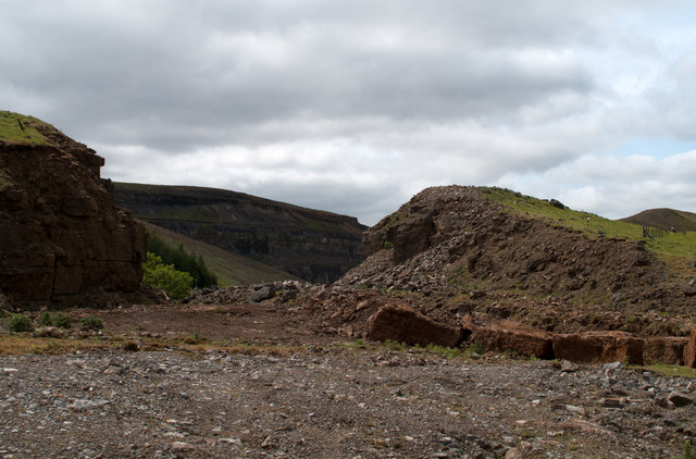
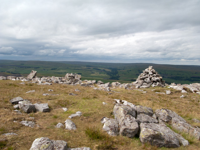
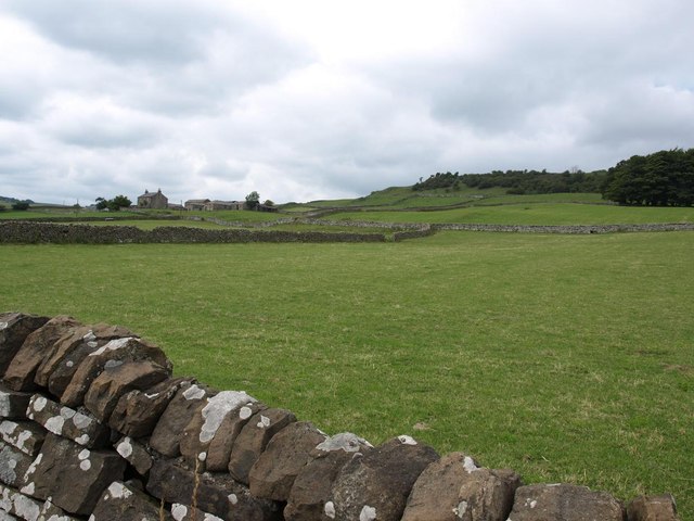
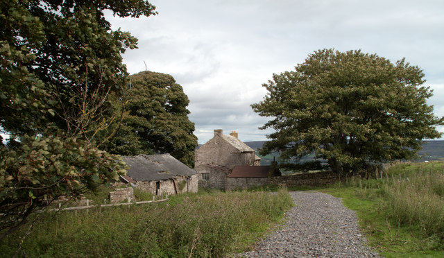
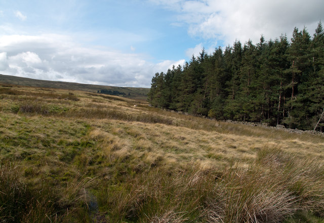
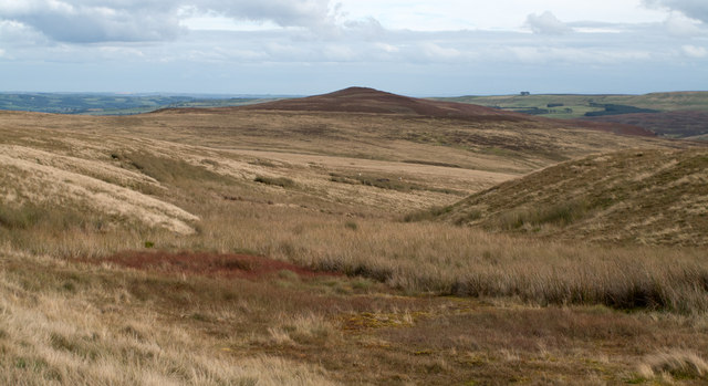
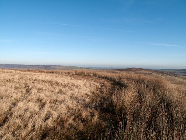
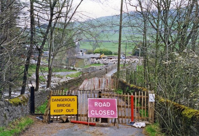
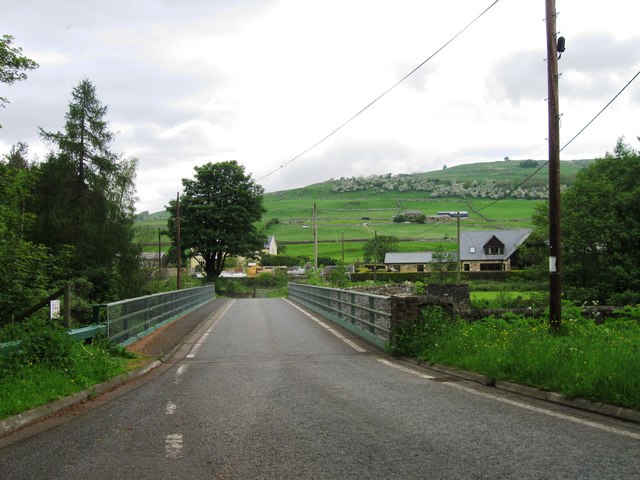
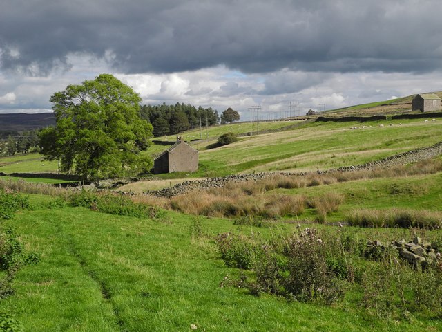
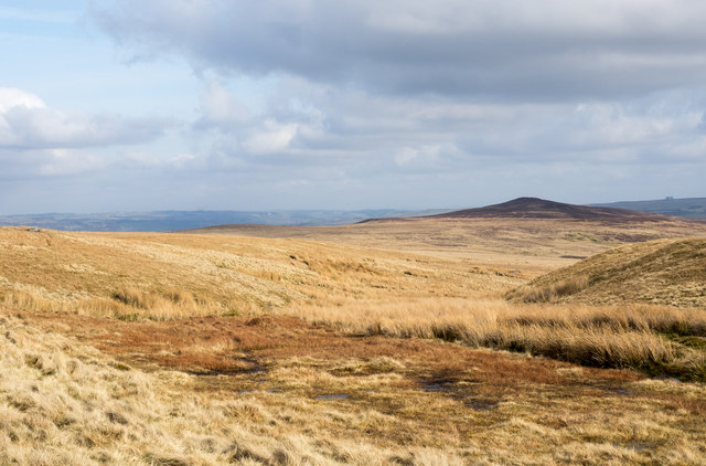
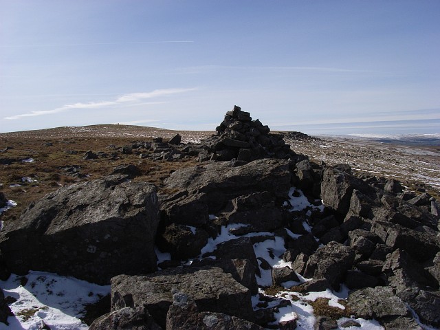
Cleugh Plantation is a picturesque woodland located in Durham, England. The plantation covers approximately 100 acres of land and is predominantly comprised of native species such as oak, birch, and beech trees. The woodland is a popular destination for nature lovers, hikers, and birdwatchers due to its diverse range of flora and fauna.

Visitors to Cleugh Plantation can enjoy a network of well-maintained walking trails that wind through the forest, providing opportunities to explore the woodland and observe the local wildlife. The plantation is home to a variety of bird species, including woodpeckers, owls, and various songbirds, making it a haven for birdwatching enthusiasts.

In addition to its natural beauty, Cleugh Plantation also plays an important role in the local ecosystem, providing habitat for a range of wildlife and contributing to the overall biodiversity of the area. The woodland is managed sustainably to ensure the long-term health and vitality of the forest, making it a valuable resource for both wildlife and visitors alike.

If you have any feedback on the listing, please let us know in the comments section below.

Cleugh Plantation Images

Images are sourced within 2km of 54.727143/-2.0650575 or Grid Reference NY9536. Thanks to Geograph Open Source API. All images are credited.

Quarry of 'Weardale Works' Weardale has seen massive amounts of rock quarried from its sides and no larger working exists in the valley than the old Blue Circle, later Lafarge operation on the south side which supplied limestone by conveyor to the cement works at Eastgate; OS mapping names the area as 'Weardale Works'.
Soon after the Lafarge purchase quarrying and cement manufacture ceased and the cement works at Eastgate was erased. Similarly the quarrying operation ended and the quarry area has been landscaped.
Once a public footpath cut across the north end of the quarry site; it was closed during the period of extraction but it seems that it might be reopened in the future; the image here was taken from the probable line of the path and shows distantly part of the quarry face beyond nearer workings.
Quarry of 'Weardale Works'
Weardale has seen massive amounts of rock quarried from its sides and no larger working exists in the valley than the old Blue Circle, later Lafarge operation on the south side which supplied limestone by conveyor to the cement works at Eastgate; OS mapping names the area as 'Weardale Works'. Soon after the Lafarge purchase quarrying and cement manufacture ceased and the cement works at Eastgate was erased. Similarly the quarrying operation ended and the quarry area has been landscaped. Once a public footpath cut across the north end of the quarry site; it was closed during the period of extraction but it seems that it might be reopened in the future; the image here was taken from the probable line of the path and shows distantly part of the quarry face beyond nearer workings.
Cairn and rocks at Bollihope Carrs The ridge reaching Carrs Top between the Wear Valley and Bollihope is almost entirely grassy but at Bollihope Carrs there's an extensive if low rock outcrop with angular boulders exposed at the crest; some smaller rocks have been gathered to form a cairn. The distant view is to the north side of Weardale with the side valley of Rook Hope, tree lined and seen to the left of the cairn.
Cairn and rocks at Bollihope Carrs
The ridge reaching Carrs Top between the Wear Valley and Bollihope is almost entirely grassy but at Bollihope Carrs there's an extensive if low rock outcrop with angular boulders exposed at the crest; some smaller rocks have been gathered to form a cairn. The distant view is to the north side of Weardale with the side valley of Rook Hope, tree lined and seen to the left of the cairn.
Pastures and dry stone walls next to A689
White House Farm, on the A689
Snape Gate Horsley Burn is a tributary stream to the River Wear flowing north-east to join it west of Stanhope. Enclosures rise on the south side of the burn eventually giving way to grassy moorland; among the enclosures on that slope there's a surprising number of old farmsteads no longer in use. Some of the buildings are now ruins others merely abandoned; Snape Gate is one of that last group.
Snape Gate
Horsley Burn is a tributary stream to the River Wear flowing north-east to join it west of Stanhope. Enclosures rise on the south side of the burn eventually giving way to grassy moorland; among the enclosures on that slope there's a surprising number of old farmsteads no longer in use. Some of the buildings are now ruins others merely abandoned; Snape Gate is one of that last group.
Snapegate Plantation The southern side of Snapegate Plantation is seen in this image where it abuts on to grassy moorland rising (leftwards) towards the ridge of Carrs Top.
Snapegate Plantation
The southern side of Snapegate Plantation is seen in this image where it abuts on to grassy moorland rising (leftwards) towards the ridge of Carrs Top.
Feeding stream of Jopla Sike The 'bruised line' of a quad bike route descends from Carrs Top over Turfhill End and from there has this view through one of the shallow feeding streams of Jopla Sike. The heather covered hill in the distance is Catterick, looking uncharacteristically shapely in this view.
Feeding stream of Jopla Sike
The 'bruised line' of a quad bike route descends from Carrs Top over Turfhill End and from there has this view through one of the shallow feeding streams of Jopla Sike. The heather covered hill in the distance is Catterick, looking uncharacteristically shapely in this view.
Ludwell Haymaking in fields on Ludwell Farm.
Ludwell
Haymaking in fields on Ludwell Farm.
A 'Watter Rord' east of Carr's Top Once when walking in the area east of Carr's Top between the Bollihope Burn and Weardale, there was shepherding activity and coming upon a farmer we were asked to avoid disturbance by keeping to the 'watter rord' - the water road - meaning a water cut or leet around the slope of the hill; this is not that cut but another. The purpose of these leets was two fold; to intercept streams draining down hill and to transport their water to another location for use. In this part of County Durham that would almost certainly be in the metal mining industry.
A 'Watter Rord' east of Carr's Top
Once when walking in the area east of Carr's Top between the Bollihope Burn and Weardale, there was shepherding activity and coming upon a farmer we were asked to avoid disturbance by keeping to the 'watter rord' - the water road - meaning a water cut or leet around the slope of the hill; this is not that cut but another. The purpose of these leets was two fold; to intercept streams draining down hill and to transport their water to another location for use. In this part of County Durham that would almost certainly be in the metal mining industry.
Entrance to Eastgate
Eastgate: approaching former station,  1995 View NW across a temporarily closed bridge over the River Wear, to the ex-NER Bishop Auckland (to left) - Wearhead (to right) line. Eastgate station and the service to Wearhead closed to passengers from 29/6/53, but goods continued until 1961, to Westgate until 1/7/68 and (for cement) from Eastgate until 17/3/93. The line was mothballed until 2004, then acquired as a heritage operation by the Weardale Railway for progressive restoration.
Eastgate: approaching former station, 1995
View NW across a temporarily closed bridge over the River Wear, to the ex-NER Bishop Auckland (to left) - Wearhead (to right) line. Eastgate station and the service to Wearhead closed to passengers from 29/6/53, but goods continued until 1961, to Westgate until 1/7/68 and (for cement) from Eastgate until 17/3/93. The line was mothballed until 2004, then acquired as a heritage operation by the Weardale Railway for progressive restoration.
Hag Bridge
Hag Bridge
West Newlandside farm One of the many abandoned farmhouses in this part of Weardale.
West Newlandside farm
One of the many abandoned farmhouses in this part of Weardale.
Stream head near Turfhill End The stream is one of the 'Jopla Grains' - a series of streamlets that feed water into Bollihope Burn, a tributary of the River Wear. Catterick is the hill darkened by its heather covering and by cloud shadow.
Stream head near Turfhill End
The stream is one of the 'Jopla Grains' - a series of streamlets that feed water into Bollihope Burn, a tributary of the River Wear. Catterick is the hill darkened by its heather covering and by cloud shadow.
Horsley Hall Country House Hotel A 17th Century Hall, on the south bank of the River Wear.
Horsley Hall Country House Hotel
A 17th Century Hall, on the south bank of the River Wear.
Horsley Hall starting to show Autumn colour
Shooting hut remains near Turfhill End Old wagons are scattered across the moors, usually in a sorry state. Unlike this one, most don't seem to make it onto OS maps.
Shooting hut remains near Turfhill End
Old wagons are scattered across the moors, usually in a sorry state. Unlike this one, most don't seem to make it onto OS maps.
Bollihope Carrs The cairn marked on the 1:25000 map. The trig point is on the horizon.
Bollihope Carrs
The cairn marked on the 1:25000 map. The trig point is on the horizon.
Show me another place!

Cleugh Plantation is located at Grid Ref: NY9536 (Lat: 54.727143, Lng: -2.0650575)

Unitary Authority: County Durham

Police Authority: Durham

What 3 Words

///swatting.bracelet.perusing. Near Stanhope, Co. Durham

Nearby Locations

Cleugh Plantation

Related Wikis

West Newlandside Meadows

West Newlandside Meadows is a Site of Special Scientific Interest in the Wear Valley district of County Durham, England. It lies 3 km south-west of the...
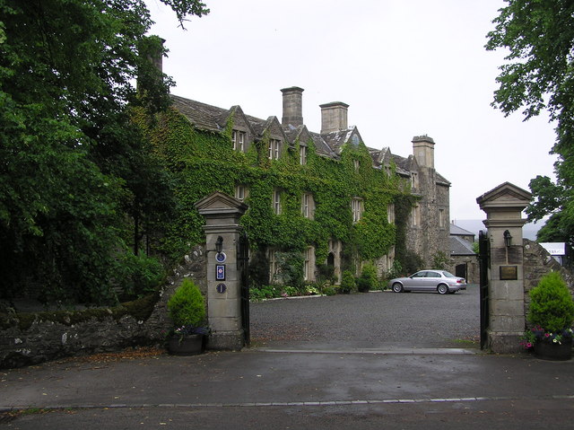
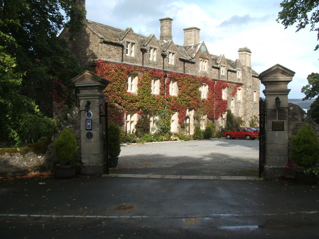
Horsley Hall

Horsley Hall is a 17th-century country house, now in use as a hotel, near Stanhope, County Durham, England. It is a Grade II listed building. The manor...

Eastgate railway station

Eastgate railway station, also known as Eastgate-in-Weardale, served the village of Eastgate in County Durham, North East England from 1895 to 1953 as...

Eastgate, County Durham

Eastgate is a village in the civil parish of Stanhope, in County Durham, England. It is situated in Weardale, a few miles west of Stanhope. In the 2001...

Related Videos

Weardale Holiday Lodges - Video Tour - Lodge 20

Take a video tour around Lodge 20. One of our luxury lodges available for rent. Weardale Holiday Lodges, tucked away in the ...

Weardale Holiday Lodges - Video Tour - Lodge 8

Take a video tour around Lodge 8. One of our luxury lodges available for rent. Weardale Holiday Lodges, tucked away in the ...

Weardale Holiday Lodges - Video Tour - Lodge 22

Take a video tour around Lodge 22. One of our luxury lodges available for rent. Weardale Holiday Lodges, tucked away in the ...

Weardale Holiday Lodges - Video Tour - Lodge 23

Take a video tour around Lodge 23. One of our luxury lodges available for rent. Weardale Holiday Lodges, tucked away in the ...

Nearby Amenities

Located within 500m of 54.727143,-2.0650575
Historic: mine_shaft
Note: not confirmed
Source: Bing
Lat/Long: 54.7298491/-2.0708916
Historic: mine_shaft
Note: not confirmed
Source: Bing
Lat/Long: 54.7262678/-2.0698938
Historic: mine_shaft
Note: not confirmed
Source: Bing
Lat/Long: 54.7299668/-2.0705697
Historic: mine_shaft
Note: not confirmed
Source: Bing
Lat/Long: 54.7290186/-2.0680914
Snowhope Close
Place: isolated_dwelling
Lat/Long: 54.7269312/-2.0683426
The data included in this document is from www.openstreetmap.org. The data is made available under ODbL.

Have you been to Cleugh Plantation?

Leave your review of Cleugh Plantation below (or comments, questions and feedback).