Ryles Wood
Wood, Forest in Cheshire
England
Ryles Wood
Ryles Wood is a picturesque woodland located in the county of Cheshire, England. It is situated on the outskirts of the village of Ryles, near the town of Nantwich. Covering an area of approximately 50 acres, Ryles Wood is a natural haven of tranquility and beauty.
The woodland is predominantly made up of deciduous trees, including oak, ash, beech, and birch, creating a diverse and vibrant ecosystem. The forest floor is blanketed with a rich carpet of ferns, wildflowers, and moss, adding to the enchanting atmosphere of the wood.
Ryles Wood is a popular destination for nature enthusiasts and outdoor lovers. Its network of well-maintained footpaths allows visitors to explore the wood at their leisure, taking in the breathtaking scenery and enjoying the peaceful ambiance. Birdwatchers can delight in spotting various species of woodland birds, such as woodpeckers, tawny owls, and nuthatches, while the lucky observer might even catch a glimpse of roe deer or red squirrels.
The wood is managed by a local conservation trust, ensuring its preservation and protection for future generations. Regular conservation efforts include tree planting, wildlife monitoring, and maintaining the footpaths to provide a safe and enjoyable experience for visitors.
Ryles Wood truly offers a sanctuary away from the hustle and bustle of everyday life, where one can immerse themselves in the beauty of nature and find solace in its peaceful surroundings. Whether for a leisurely stroll, birdwatching, or simply to reconnect with nature, Ryles Wood is a hidden gem waiting to be discovered.
If you have any feedback on the listing, please let us know in the comments section below.
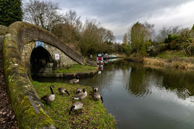
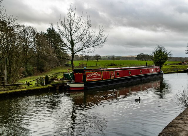
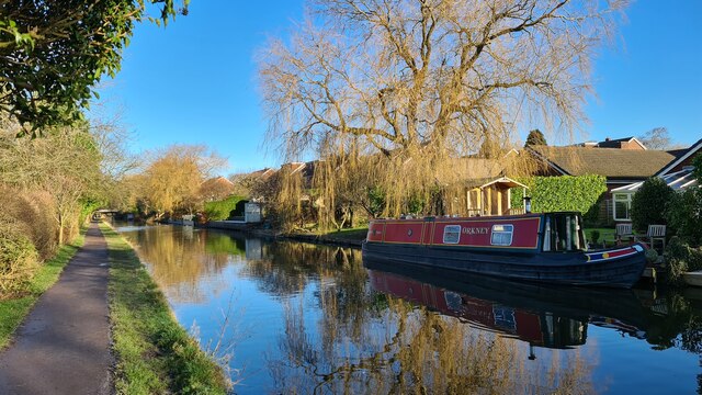
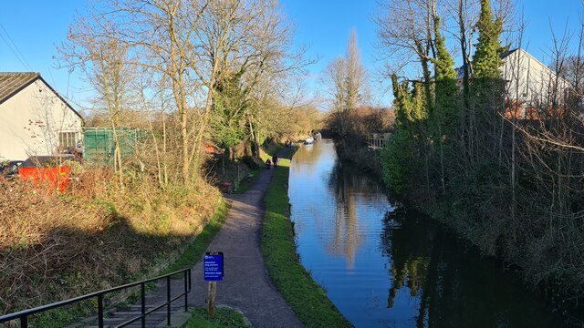
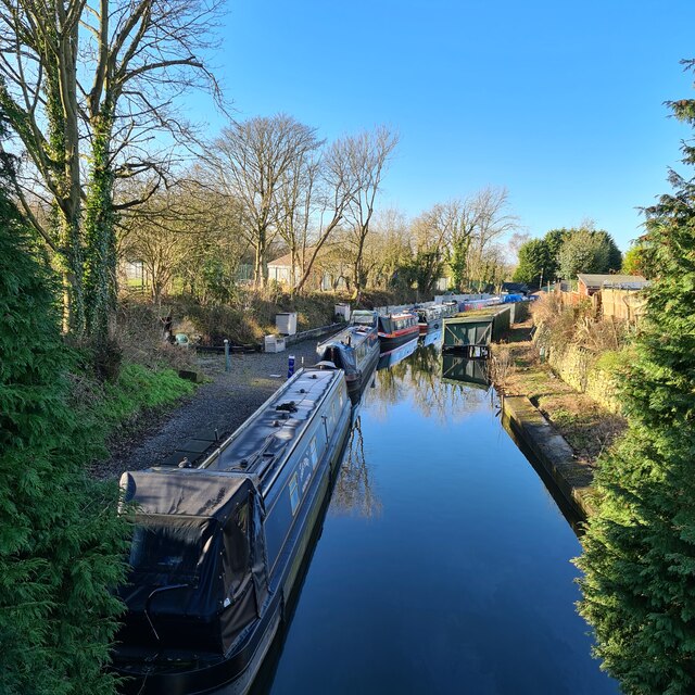
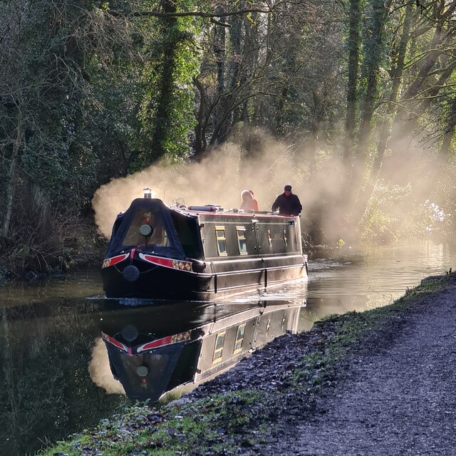
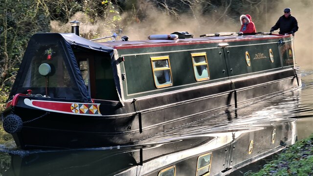
Ryles Wood Images
Images are sourced within 2km of 53.353587/-2.0644562 or Grid Reference SJ9584. Thanks to Geograph Open Source API. All images are credited.


Ryles Wood is located at Grid Ref: SJ9584 (Lat: 53.353587, Lng: -2.0644562)
Unitary Authority: Cheshire East
Police Authority: Cheshire
What 3 Words
///gems.cautious.reliving. Near Disley, Cheshire
Nearby Locations
Related Wikis

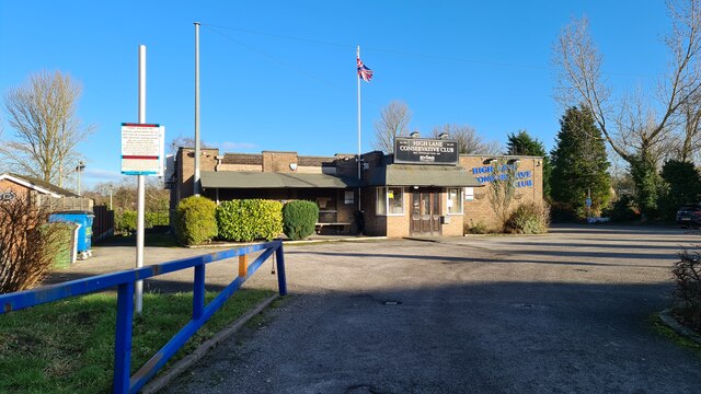
High Lane, Greater Manchester
High Lane is a village in the Metropolitan Borough of Stockport, Greater Manchester, England, on the Macclesfield Canal, 5 miles (8 km) from Stockport...

Wyberslegh Hall
Wyberslegh Hall (sometimes spelled Wybersley Hall) is a large house dating from the 16th century, on the edge of the village of High Lane in Greater Manchester...

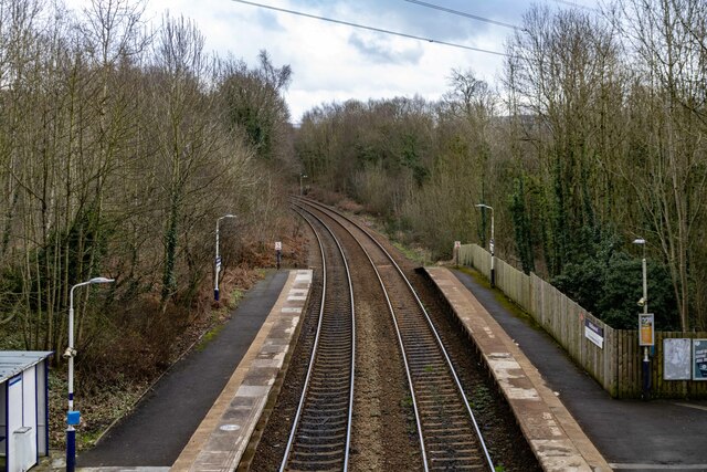
Middlewood railway station
Middlewood railway station serves the village of High Lane in the Metropolitan Borough of Stockport, Greater Manchester, England. It is on the Stockport...

Middlewood Higher railway station
Middlewood Higher railway station was a railway station located near to the village of High Lane in Cheshire, England (now in Greater Manchester). It was...
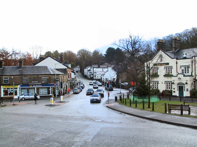
Disley
Disley is a village and civil parish in Cheshire, England. It is located on the edge of the Peak District in the Goyt valley, south of Stockport and close...
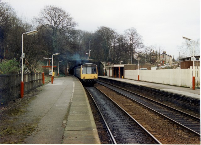
Disley railway station
Disley railway station serves the village of Disley in Cheshire, England. It is 12+1⁄3 miles (19.8 km) south east of Manchester Piccadilly on the Buxton...

Higher Poynton railway station
Higher Poynton was a railway station serving the eastern side of the town of Poynton in Cheshire, England. It was opened in 1869 by the Macclesfield, Bollington...

St Mary's Church, Disley
St Mary's Church is an Anglican parish church in the diocese of Chester, the archdeaconry of Macclesfield and the deanery of Chadkirk. It is on a hill...
Nearby Amenities
Located within 500m of 53.353587,-2.0644562Have you been to Ryles Wood?
Leave your review of Ryles Wood below (or comments, questions and feedback).