Walker's Copse
Wood, Forest in Wiltshire
England
Walker's Copse
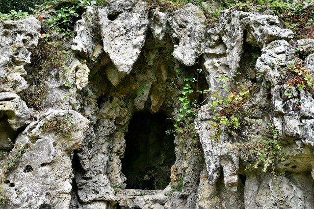
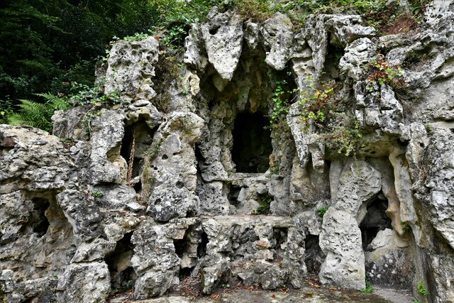
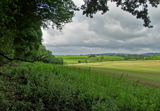
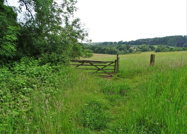
Walker's Copse is a picturesque woodland located in the county of Wiltshire, England. Spanning over an area of approximately 50 acres, this ancient woodland is a haven for nature enthusiasts and those seeking tranquility amidst the beauty of nature. Situated near the village of Brinkworth, Walker's Copse is easily accessible and attracts visitors from both nearby towns and further afield.
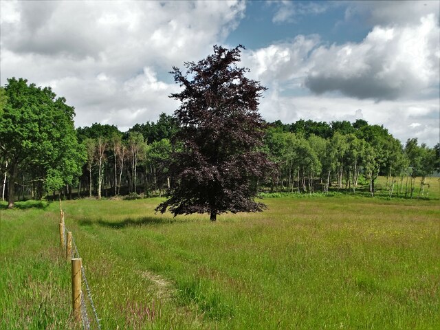
This woodland boasts a diverse range of trees, including oak, ash, beech, and birch. The canopy of the woodland creates a cool and shaded environment, perfect for a leisurely stroll or a peaceful picnic. The forest floor is covered with a rich carpet of wildflowers, ferns, and mosses, creating a vibrant and colorful landscape throughout the year.
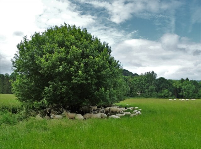
Home to a variety of wildlife, Walker's Copse is a haven for birdwatchers and nature photographers. Visitors can spot a plethora of bird species, including the great spotted woodpecker, tawny owl, and various finches. In addition, the woodland is inhabited by small mammals such as squirrels, rabbits, and foxes, making it an ideal spot for wildlife enthusiasts to observe and appreciate.
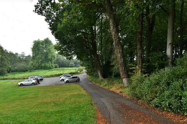
Walker's Copse offers a network of well-maintained footpaths that crisscross through the woodland, allowing visitors to explore its beauty at their own pace. These paths are suitable for both leisurely walks and more challenging hikes, providing something for all abilities. The copse also features several secluded picnic areas, providing visitors with the opportunity to relax and enjoy the tranquility of their surroundings.
Overall, Walker's Copse in Wiltshire is a captivating woodland that showcases the natural beauty of the region. With its diverse range of trees, abundant wildlife, and well-maintained footpaths, it is a destination that offers a peaceful escape and a chance to reconnect with nature.
If you have any feedback on the listing, please let us know in the comments section below.
Walker's Copse Images
Images are sourced within 2km of 51.042436/-2.0633803 or Grid Reference ST9527. Thanks to Geograph Open Source API. All images are credited.
Walker's Copse is located at Grid Ref: ST9527 (Lat: 51.042436, Lng: -2.0633803)
Unitary Authority: Wiltshire
Police Authority: Wiltshire
What 3 Words
///chosen.trickster.reshape. Near Ansty, Wiltshire
Nearby Locations
Related Wikis
Ansty, Wiltshire
Ansty is a small village and civil parish in southwest Wiltshire, England, about 6 miles (10 km) east of Shaftesbury. The village is just north of the...

Swallowcliffe
Swallowcliffe is a small village and civil parish in Wiltshire, England, about 2 miles (3.2 km) southeast of Tisbury and 11 miles (18 km) west of Salisbury...

Ansty Coombe
Ansty Coombe is a hamlet in Ansty parish, in southwest Wiltshire, England. It lies about six miles (10 km) east of Shaftesbury, Dorset. == Sources... ==

Castle Ditches
Castle Ditches is the site of an Iron Age trivallate hillfort in the south-east of Tisbury parish in Wiltshire, England. It is probable that its ancient...

Vale of Wardour
The Vale of Wardour encompasses the valley of the River Nadder in the county of Wiltshire, England. == Geography == === Topography === The Vale of Wardour...

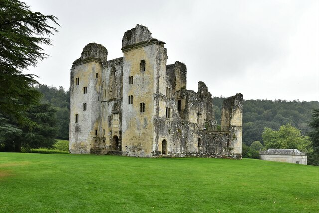
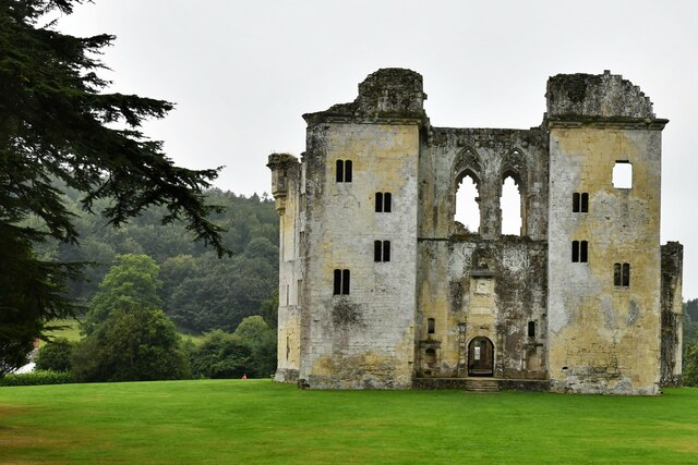
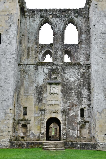
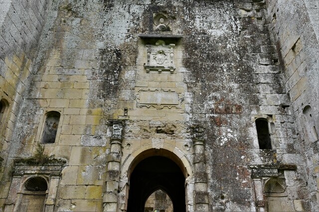
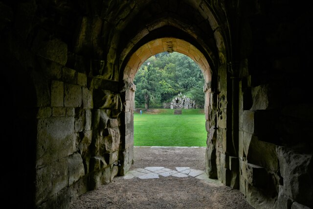
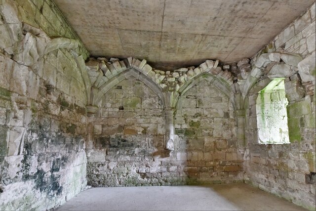
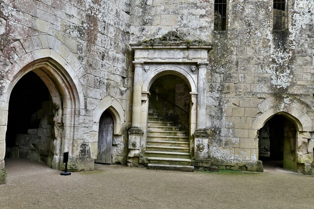
Wardour Castle
Wardour Castle or Old Wardour Castle is a ruined 14th-century castle at Wardour, on the boundaries of the civil parishes of Tisbury and Donhead St Andrew...
Siege of Wardour Castle
Wardour Castle in Wiltshire, England, was besieged twice during the First English Civil War; once in May 1643, and then again between November 1643 and...
Cranborne Chase School
Cranborne Chase School was an independent boarding school for girls, and was located in the English counties of Dorset and (later) Wiltshire, between 1946...
Nearby Amenities
Located within 500m of 51.042436,-2.0633803Have you been to Walker's Copse?
Leave your review of Walker's Copse below (or comments, questions and feedback).