Jubilee Wood
Wood, Forest in Dorset
England
Jubilee Wood
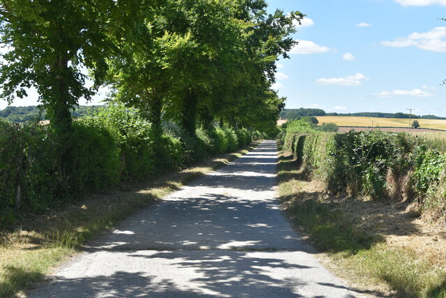
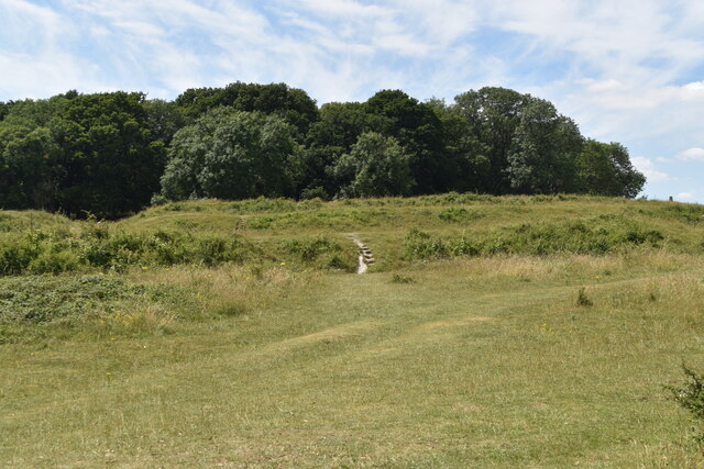
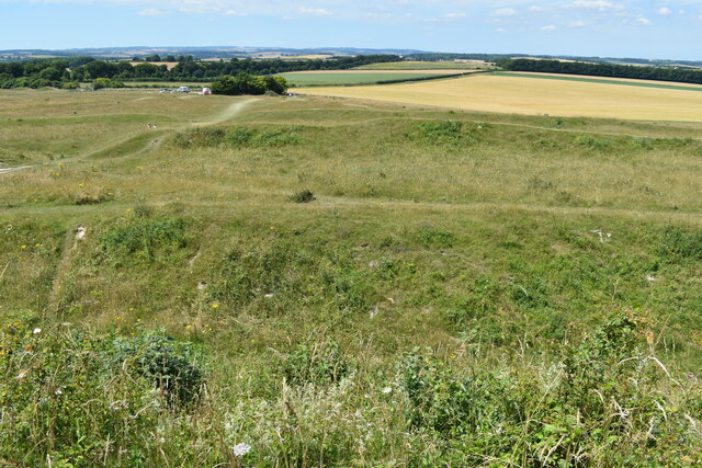
Jubilee Wood is a beautiful forest located in Dorset, England. Covering an area of approximately 20 acres, this woodland is a haven for nature lovers and outdoor enthusiasts.
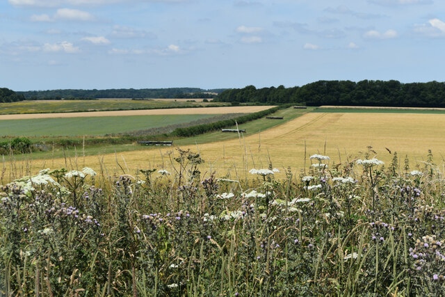
The wood was established in 2012 to commemorate the Diamond Jubilee of Queen Elizabeth II, hence its name. It is home to a diverse range of trees, including oak, beech, and ash, which provide a rich habitat for various wildlife species. The forest floor is adorned with a carpet of bluebells in the spring, creating a stunning display of colors.
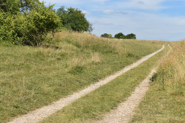
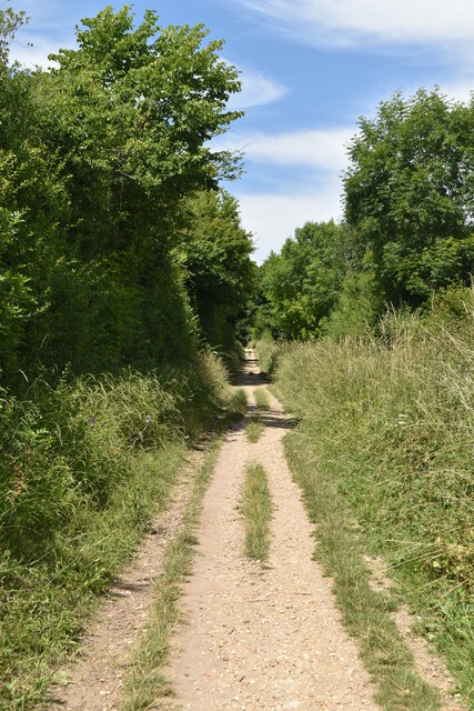
Jubilee Wood offers numerous walking trails, allowing visitors to explore its tranquil surroundings and discover its hidden treasures. These trails are well-maintained and suitable for people of all ages and fitness levels. Along the way, visitors may encounter a variety of wildlife, such as deer, squirrels, and a wide array of bird species.
The wood is also a popular spot for picnics and family outings, with designated areas provided for such activities. There are benches strategically placed throughout the forest, allowing visitors to rest and take in the peaceful atmosphere.
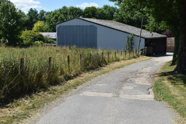
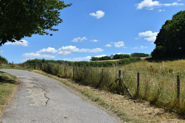
Managed by the local council, Jubilee Wood is kept in pristine condition, ensuring that it remains a thriving ecosystem and a cherished community asset. Its natural beauty and tranquility make it a must-visit destination for anyone seeking a peaceful retreat in the heart of Dorset.
If you have any feedback on the listing, please let us know in the comments section below.
Jubilee Wood Images
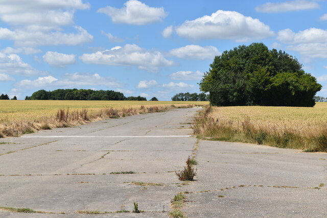
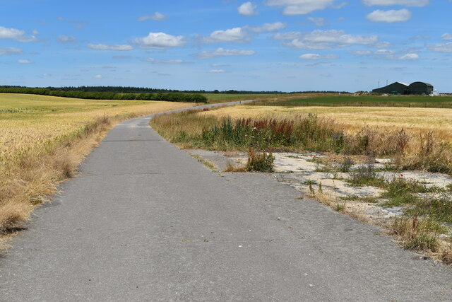
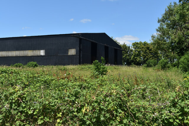
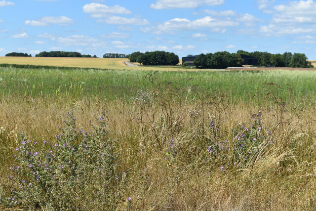
Images are sourced within 2km of 50.838273/-2.0659425 or Grid Reference ST9504. Thanks to Geograph Open Source API. All images are credited.
Jubilee Wood is located at Grid Ref: ST9504 (Lat: 50.838273, Lng: -2.0659425)
Unitary Authority: Dorset
Police Authority: Dorset
What 3 Words
///owes.explain.basics. Near Sturminster Marshall, Dorset
Nearby Locations
Related Wikis

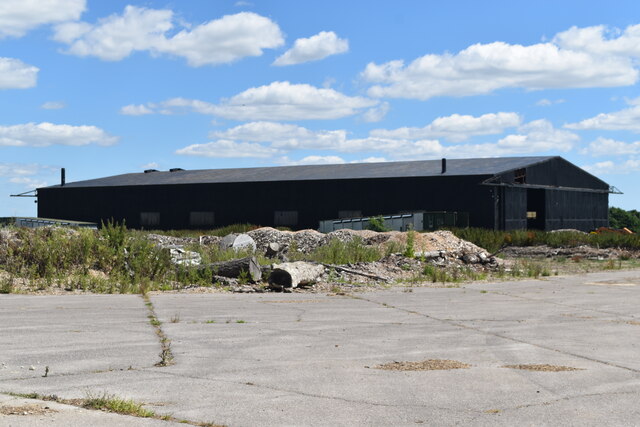
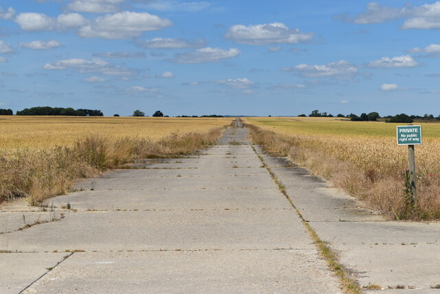
RAF Tarrant Rushton
Royal Air Force Tarrant Rushton or more simply RAF Tarrant Rushton is a former Royal Air Force station near the village of Tarrant Rushton east of Blandford...

Badbury Rings
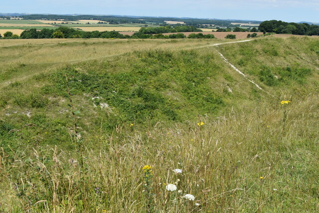
Badbury Rings is an Iron Age hill fort and Scheduled Monument in east Dorset, England. It was in the territory of the Durotriges. In the Roman era a temple...

Tarrant Rushton
Tarrant Rushton is a village and civil parish in north Dorset, England. The village is situated in the Tarrant Valley about three miles (five kilometres...

Tarrant Keyneston
Tarrant Keyneston is a village and civil parish in Dorset, England. It is situated in the Tarrant Valley, five miles (eight kilometres) southeast of Blandford...

Tarrant Rawston
Tarrant Rawston is a hamlet and civil parish in the county of Dorset in southern England. It is named after the River Tarrant which flows through the parish...
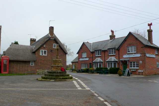
Shapwick, Dorset
Shapwick is a village and civil parish in east Dorset, England, situated on the River Stour five miles south-east of Blandford Forum and eight miles north...

All Saints' Church, Tarrant Keyneston
All Saints' Church is a Church of England parish church in Tarrant Keyneston, Dorset, England. Most of the church dates to a rebuild of 1852–53, but the...

St Mary the Virgin, Tarrant Crawford
The Church of St Mary the Virgin in Tarrant Crawford, Dorset, England, was built in the 12th century. It is recorded in the National Heritage List for...
Nearby Amenities
Located within 500m of 50.838273,-2.0659425Have you been to Jubilee Wood?
Leave your review of Jubilee Wood below (or comments, questions and feedback).