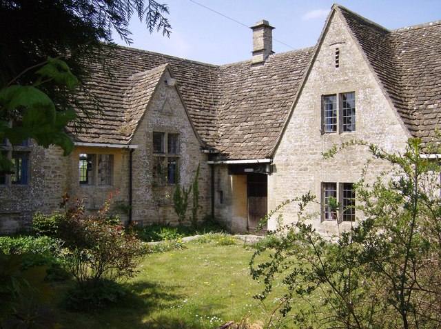
The Rookery
Wood, Forest in Gloucestershire Cotswold
England
The Rookery
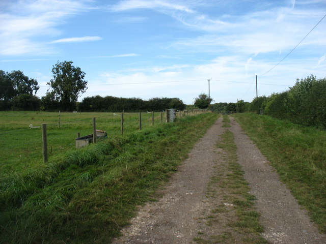
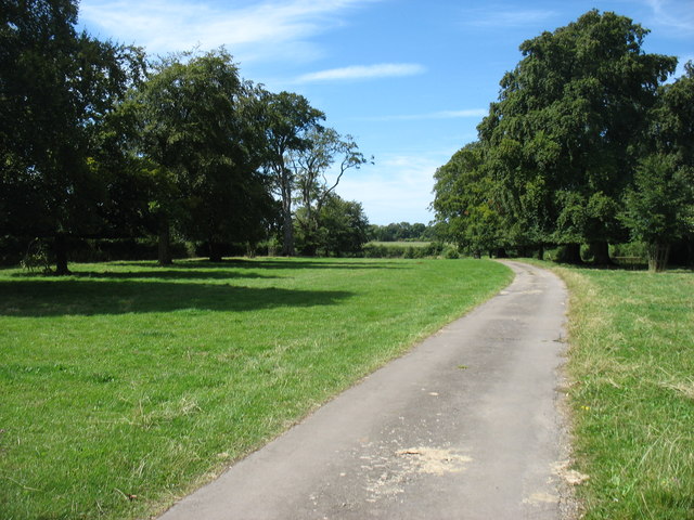
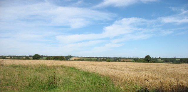
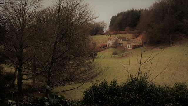
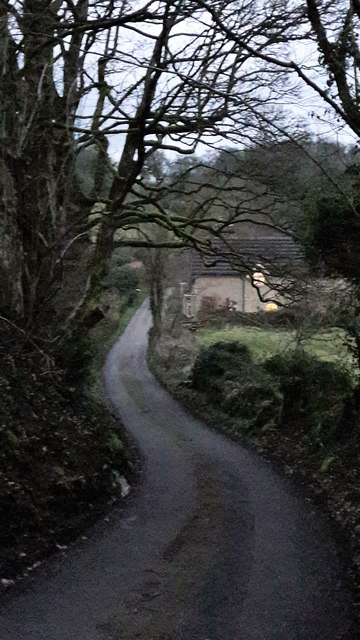
The Rookery, located in Gloucestershire, is a picturesque woodland area nestled within the enchanting Forest of Dean. Covering an expanse of approximately 180 hectares, this natural haven is renowned for its breathtaking beauty and diverse ecosystem. The Rookery is characterized by its dense canopy of ancient oak trees, which provide a home to a plethora of wildlife species.
The woodland floor is adorned with a rich carpet of wildflowers, creating a vibrant burst of color during the spring and summer months. Visitors can expect to encounter a variety of flora, including bluebells, primroses, and wood anemones, which flourish in the dappled sunlight filtering through the canopy.
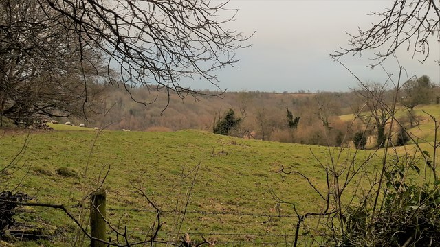
The Rookery is a haven for birdwatchers, as it is home to a multitude of avian species. Birdsong fills the air, with woodland birds such as robins, blackbirds, and thrushes serenading visitors as they explore the tranquil pathways. The woodpecker's rhythmic drumming can often be heard echoing through the trees, adding to the symphony of nature's sounds.
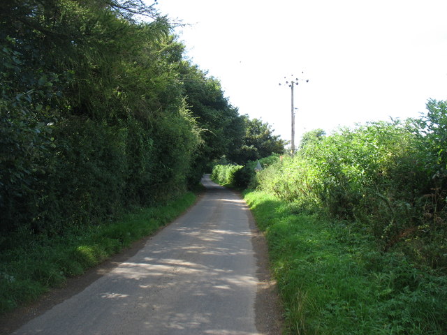
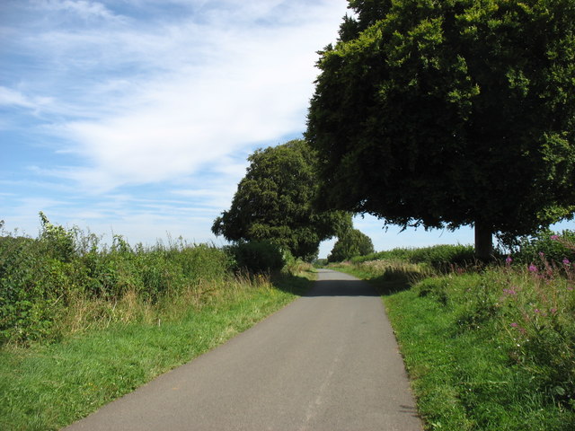
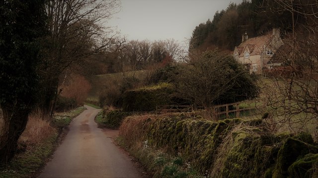
For those seeking adventure, The Rookery offers an extensive network of walking trails, allowing visitors to explore the woodland's hidden gems. The trails wind through ancient glades, over babbling brooks, and past moss-covered boulders, providing a captivating journey through this ancient forest.
The Rookery is not only a natural treasure, but also a site of historical significance. Within its depths lies the remnants of an Iron Age hillfort, a testament to the area's rich cultural heritage.
Overall, The Rookery in Gloucestershire is a captivating woodland oasis, offering visitors an opportunity to immerse themselves in the beauty of nature while discovering the secrets of the forest's past.
If you have any feedback on the listing, please let us know in the comments section below.
The Rookery Images
Images are sourced within 2km of 51.754804/-2.0676943 or Grid Reference SO9506. Thanks to Geograph Open Source API. All images are credited.
The Rookery is located at Grid Ref: SO9506 (Lat: 51.754804, Lng: -2.0676943)
Administrative County: Gloucestershire
District: Cotswold
Police Authority: Gloucestershire
What 3 Words
///enough.genetics.proposals. Near Coates, Gloucestershire
Related Wikis

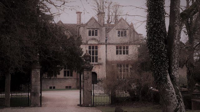
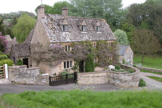
Edgeworth Manor
Edgeworth Manor is a Grade II* listed country house in Edgeworth, Gloucestershire, England. It was mentioned in the Domesday Book, when it was held by...

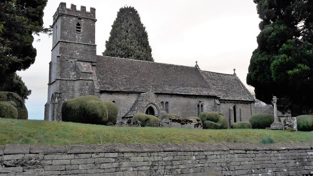
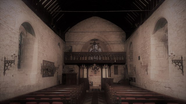
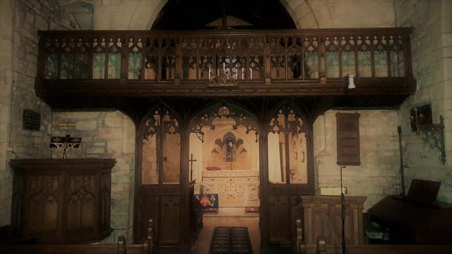
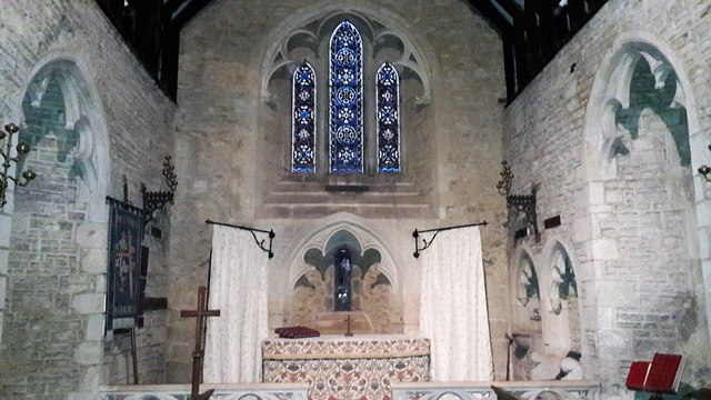
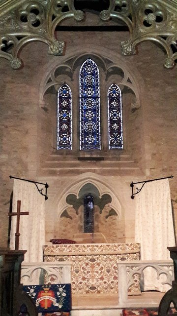
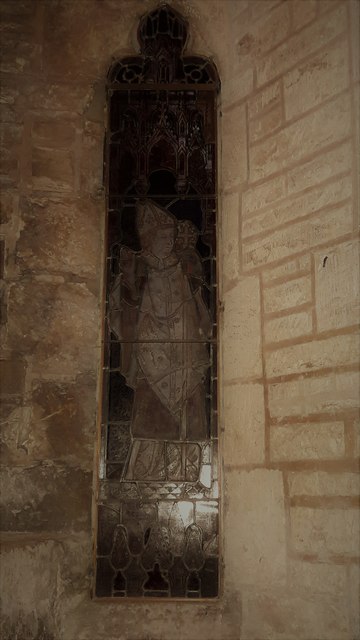
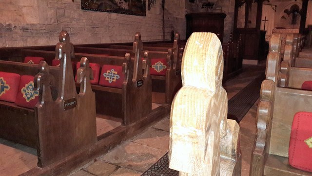
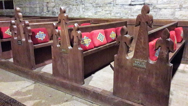
Church of St Mary, Edgeworth
The Anglican Church of St Mary at Edgeworth in the Cotswold District of Gloucestershire, England was built in 11th century. It is a grade I listed building...

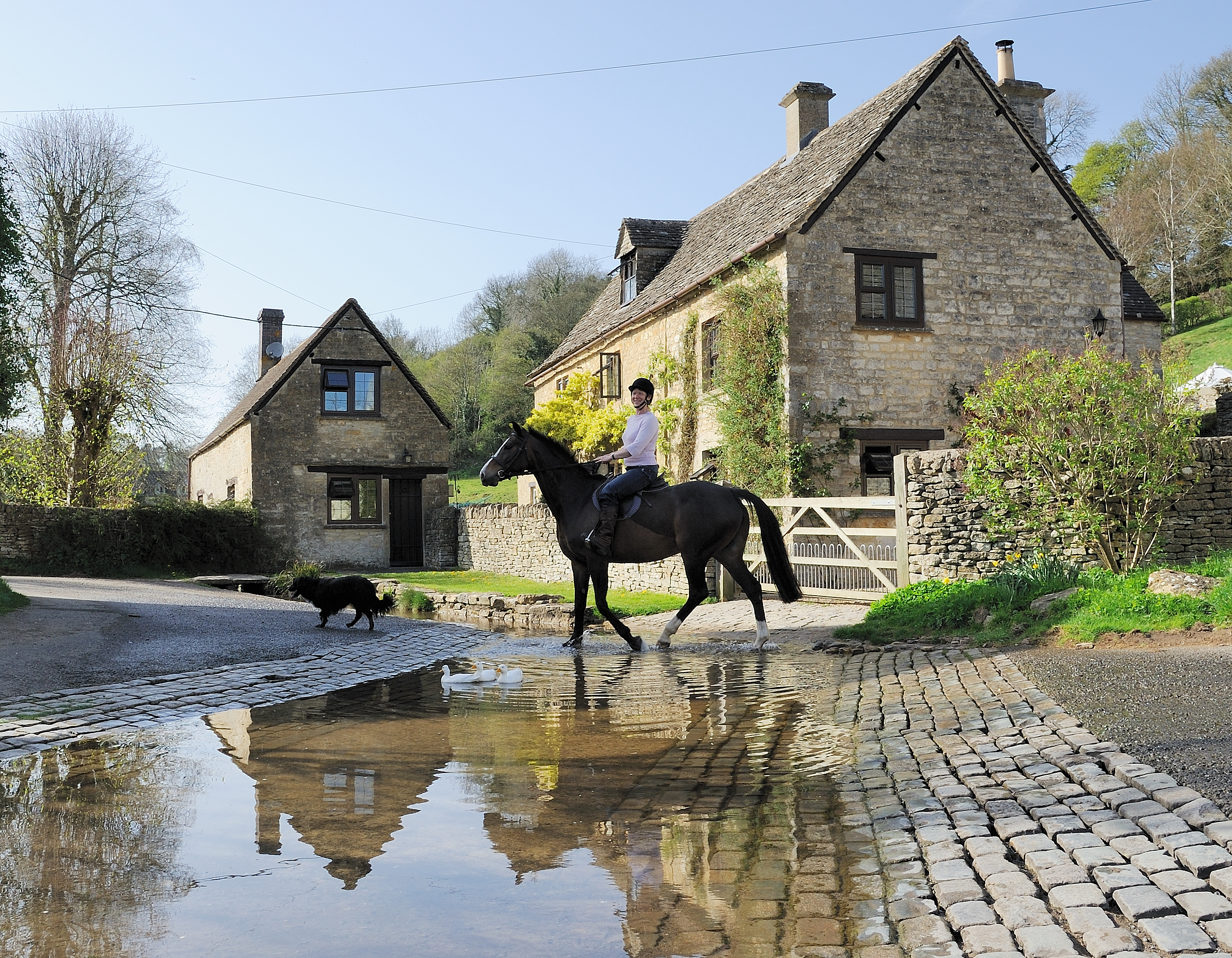
Edgeworth, Gloucestershire
Edgeworth is a small village and civil parish in the English county of Gloucestershire. It is located east of Stroud, west of Cirencester and south of...
Duntisbourne Abbots
Duntisbourne Abbots is a village and civil parish located in the English county of Gloucestershire. Duntisbourne Abbots forms part of the Cotswold District...
Davenport House, Duntisbourne Abbots
Davenport House is an historic building in the English village of Duntisbourne Abbots, Gloucestershire. Located on the eastern side of the village, it...
Duntisbourne Leer
Duntisbourne Leer is a hamlet in the county of Gloucestershire, and lies within the Cotswolds, a range of hills designated an Area of Outstanding Natural...

Juniper Hill, Edgeworth
Juniper Hill, Edgeworth (SO928058 and SO928064) is an 11.25-hectare (27.8-acre) biological Site of Special Scientific Interest in Gloucestershire, notified...
Sapperton, Gloucestershire
Sapperton is a village and civil parish in the Cotswold District of Gloucestershire in England, about 4.5 miles (7.2 km) west of Cirencester. It is most...
Nearby Amenities
Located within 500m of 51.754804,-2.0676943Have you been to The Rookery?
Leave your review of The Rookery below (or comments, questions and feedback).