Blackheath Covert

Wood, Forest in Staffordshire Stafford

England

Blackheath Covert

Katherine House Hospice Hospice in Stafford, preparing for charity bike ride.
Katherine House Hospice Credit: John Nickolls

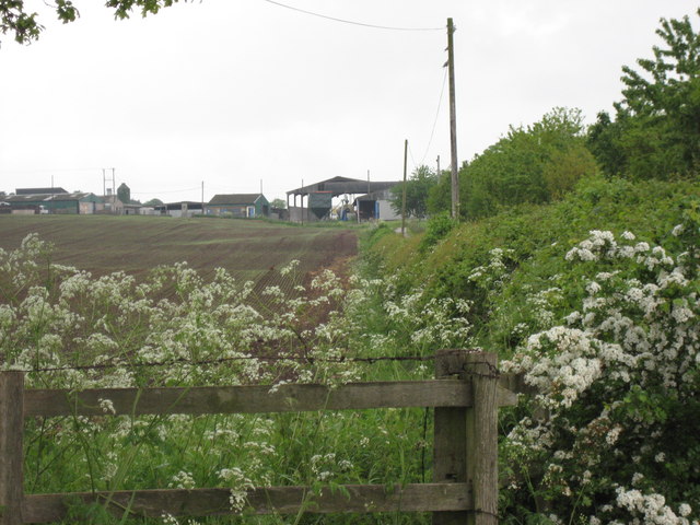
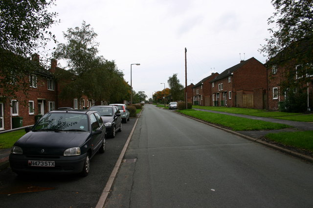
Blackheath Covert is a pristine woodland located in Staffordshire, England. Spanning over an area of approximately 50 acres, it is nestled within the picturesque surroundings of Cannock Chase, a designated Area of Outstanding Natural Beauty. The woodland is predominantly composed of mature oak and birch trees, creating a dense canopy that provides shade and shelter to numerous species of flora and fauna.

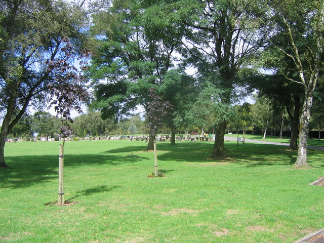
The forest floor is carpeted with a rich diversity of plants, including bluebells, wood anemones, and ferns, creating a vibrant tapestry of colors during the spring and summer months. These plants attract a variety of wildlife, such as deer, badgers, foxes, and a wide array of bird species, making it a haven for nature enthusiasts and photographers.

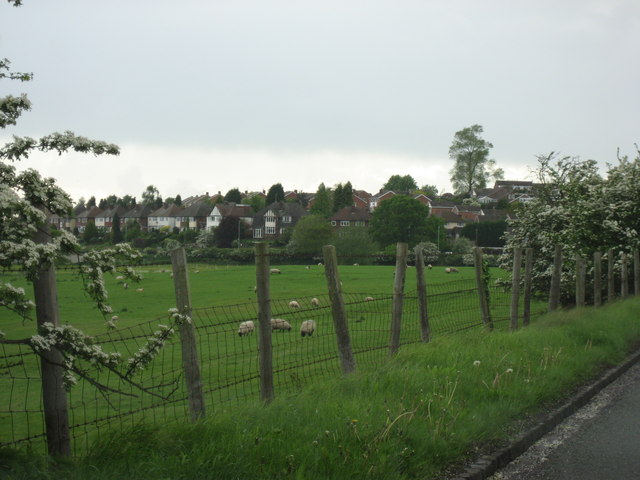
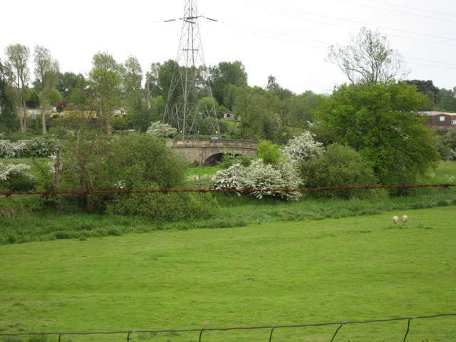
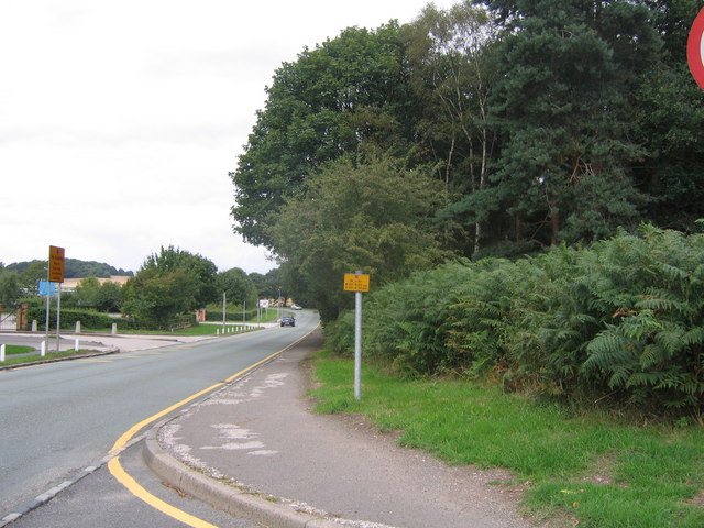
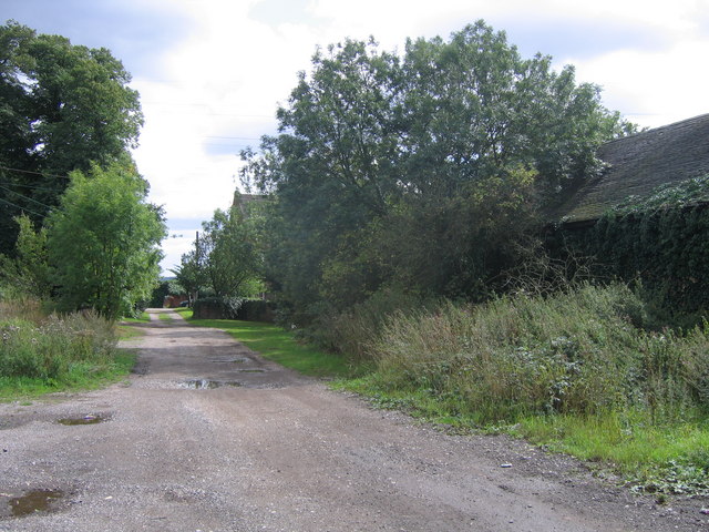
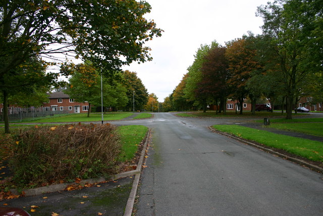
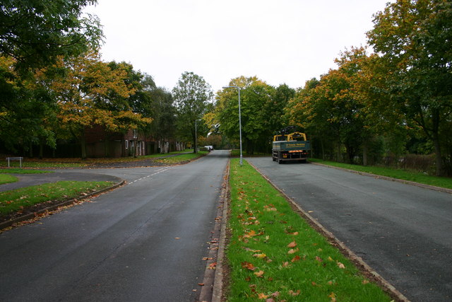
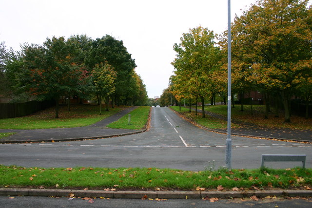
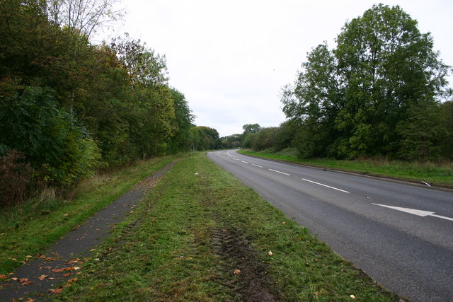
Blackheath Covert offers a network of well-maintained footpaths and trails that wind through the woodland, allowing visitors to explore the area at their own pace. These paths provide opportunities for leisurely walks, jogging, or cycling, while the serene atmosphere and tranquil surroundings make it an ideal spot for picnics or simply immersing oneself in nature.

Managed by the Forestry Commission, the woodland undergoes careful conservation efforts to maintain its natural beauty and preserve the delicate ecosystem. Public access to Blackheath Covert is free, and there are ample parking facilities nearby. Interpretation boards and educational signs are scattered throughout the woodland, providing visitors with information about the flora, fauna, and historical significance of the area.

Blackheath Covert is a true gem in Staffordshire, offering a peaceful retreat and an opportunity to reconnect with nature in a stunning woodland setting.

If you have any feedback on the listing, please let us know in the comments section below.

Blackheath Covert Images

Images are sourced within 2km of 52.814952/-2.0696326 or Grid Reference SJ9524. Thanks to Geograph Open Source API. All images are credited.

Katherine House Hospice Hospice in Stafford, preparing for charity bike ride.
Katherine House Hospice
Hospice in Stafford, preparing for charity bike ride.
Bridge over the River Penk , Baswich Road I believe this is one of Telford's bridges
Bridge over the River Penk , Baswich Road
I believe this is one of Telford's bridges
Holy Trinity, Baswich <span class="nowrap"><a title="http://www.achurchnearyou.com/berkswich-holy-trinity/" rel="nofollow ugc noopener" href="http://www.achurchnearyou.com/berkswich-holy-trinity/">Link</a><img style="margin-left:2px;" alt="External link" title="External link - shift click to open in new window" src="https://s1.geograph.org.uk/img/external.png" width="10" height="10"/></span>
Holy Trinity, Baswich
Brancote Farm On a rather poor day !
Brancote Farm
On a rather poor day !
Tixall Heath Farm From the side of its drive way
Tixall Heath Farm
From the side of its drive way
Looking across the fields to the Houses At the edge of Stafford
Looking across the fields to the Houses
At the edge of Stafford
Fields at St Thomas Looking towards the bridge over the Penk. In the Spring, on a wet day.
Fields at St Thomas
Looking towards the bridge over the Penk. In the Spring, on a wet day.
County Showground Taken during the Staffordshire Show
County Showground
Taken during the Staffordshire Show
Stafford fire station Stafford fire station, Beaconside, Stafford, Staffordshire.
Stafford fire station
Stafford fire station, Beaconside, Stafford, Staffordshire.
Stafford Crematorium Stafford Crematorium
Stafford Crematorium
Road to crematorium The road leads from the crematorium down to the junction with the Stafford - Uttoxeter road (just out of sight).
Road to crematorium
The road leads from the crematorium down to the junction with the Stafford - Uttoxeter road (just out of sight).
Farm track at St. Thomas The track leads past the farm to the remains of St. Thomas Priory (and further on to a sewerage works !)
Farm track at St. Thomas
The track leads past the farm to the remains of St. Thomas Priory (and further on to a sewerage works !)
Tedder Road, Stafford Tedder Road in Stafford.  The housing used to be for RAF personnel and much of this road still is for military staff although a lot of the housing has gone over to health service workers or private/rented.
Tedder Road, Stafford
Tedder Road in Stafford. The housing used to be for RAF personnel and much of this road still is for military staff although a lot of the housing has gone over to health service workers or private/rented.
Salmond Avenue, Stafford The area used to be housing for RAF staff but is largely sold off to private occupiers or Health Service staff.
Salmond Avenue, Stafford
The area used to be housing for RAF staff but is largely sold off to private occupiers or Health Service staff.
Portal Rd Portal Road, junction with Salmond Avenue, Stafford. Behind the trees to the right is the very busy Beaconside Road next to the 'retired' RAF station.
Portal Rd
Portal Road, junction with Salmond Avenue, Stafford. Behind the trees to the right is the very busy Beaconside Road next to the 'retired' RAF station.
Salmond Avenue, Stafford Salmond Avenue looking up the street - you may just work out the top of the District General Hospital in the background. The road across the foreground is Portal Road.
Salmond Avenue, Stafford
Salmond Avenue looking up the street - you may just work out the top of the District General Hospital in the background. The road across the foreground is Portal Road.
Beaconside looking northwest Beaconside at Stafford. On the left of the bend is Portal Road, access road to what was primarily RAF housing. To the right behind the hedge is RAF Stafford.
Beaconside looking northwest
Beaconside at Stafford. On the left of the bend is Portal Road, access road to what was primarily RAF housing. To the right behind the hedge is RAF Stafford.
Beaconside looking towards the A518, Stafford Beaconside looking towards the A518, Stafford. In the distance can be seen the new Stafford Technology park, a very large development bringing lots of businesses and jobs to Stafford.
Beaconside looking towards the A518, Stafford
Beaconside looking towards the A518, Stafford. In the distance can be seen the new Stafford Technology park, a very large development bringing lots of businesses and jobs to Stafford.
Show me another place!

Blackheath Covert is located at Grid Ref: SJ9524 (Lat: 52.814952, Lng: -2.0696326)

Administrative County: Staffordshire

District: Stafford

Police Authority: Staffordshire

What 3 Words

///soils.cowboy.funds. Near Stafford, Staffordshire

Nearby Locations

Blackheath Covert

Related Wikis

Weston Road Academy

The Weston Road Academy (formerly Weston Road High School) is an academy school in Stafford, England. It provides secondary and further education for pupils...

Bingley Hall, Stafford

Bingley Hall (also known as New Bingley Hall to distinguish itself from the Bingley Hall in Birmingham) is an exhibition hall located in Stafford, England...

Priory of St. Thomas near Stafford

Priory of St. Thomas near Stafford was an Augustinian religious house near Stafford, Staffordshire, England. Founded sometime in approximately 1174, it...

River Penk

The River Penk is a small river flowing through Staffordshire, England. Its course is mainly within South Staffordshire, and it drains most of the northern...

Stafford Hospital scandal

The Stafford Hospital scandal concerns poor care and high mortality rates amongst patients at the Stafford Hospital, Stafford, England, during the first...

County Hospital, Stafford

County Hospital is an acute hospital with less than 200 inpatient beds, opened in 1983. It is the main hospital in Stafford, England. The hospital is managed...

Mid Staffordshire Postgraduate Medical Centre

Mid Staffordshire Postgraduate Medical Centre is a Medical Education establishment situated in Stafford, England. The Centre is located in the grounds...

Beaconside

Beaconside is an area in Stafford, Staffordshire, England. The district is home to the Stafford branch of Staffordshire University along with the Ministry...

Nearby Amenities

Located within 500m of 52.814952,-2.0696326
Bus Stop
Weston Road High School
Bus: yes
Naptan AtcoCode: 3800C790700
Naptan Bearing: N
Naptan CommonName: Weston Road High School
Naptan Indicator: Adj
Naptan Landmark: Weston Road High Sch
Naptan PlusbusZoneRef: STAFFRD
Naptan Street: Blackheath Lane
Naptan Verified: no
Public Transport: platform
Source: naptan_import
Lat/Long: 52.8144119/-2.0746611
Crossing
Source: Bing
Lat/Long: 52.8154556/-2.0766138
Barrier: lift_gate
Lat/Long: 52.8154942/-2.0766786
Pub
The Knot & Plough
Addr Postcode: ST18 0WL
Addr Street: Weston Road
Email: KnotandPlough.Stafford@marstons.co.uk
Fhrs Id: 1195084
Phone: +44 1785 472483
Website: https://knotandploughpubstafford.co.uk/
Lat/Long: 52.8163189/-2.0751001
Mini Roundabout
Lat/Long: 52.8156608/-2.0769481
The data included in this document is from www.openstreetmap.org. The data is made available under ODbL.

Have you been to Blackheath Covert?

Leave your review of Blackheath Covert below (or comments, questions and feedback).