Cat Gill Wood

Wood, Forest in Yorkshire Craven

England

Cat Gill Wood

Pond at Carleton Park Carleton Park was once one of the deer parks of the Cliffords (Lords of Skipton); it is now a private estate offering grouse and pheasant shooting, but there are some public rights of way through it including one just to the left of the pond.
Pond at Carleton Park Credit: Stephen Craven

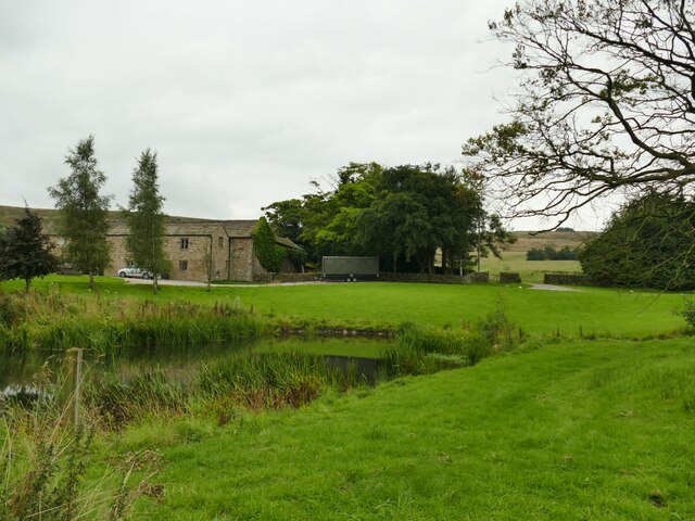
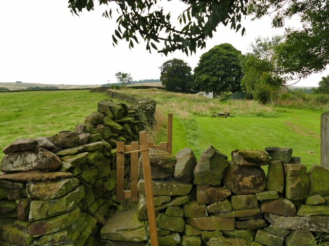
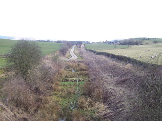
Cat Gill Wood is a picturesque woodland located in Yorkshire, England. Nestled within the scenic landscape of the Yorkshire Dales, this enchanting forest offers visitors a tranquil retreat from the hustle and bustle of daily life. The wood covers a vast area, spanning approximately 200 acres, and is home to a diverse range of flora and fauna.

The wood derives its name from the gill, or ravine, that runs through its heart. Cat Gill, a small stream that meanders through the forest, adds to the charm and serenity of the surroundings, providing a delightful soundtrack of babbling water. The gill is flanked by towering trees, predominantly oak and beech, which create a dense canopy overhead.

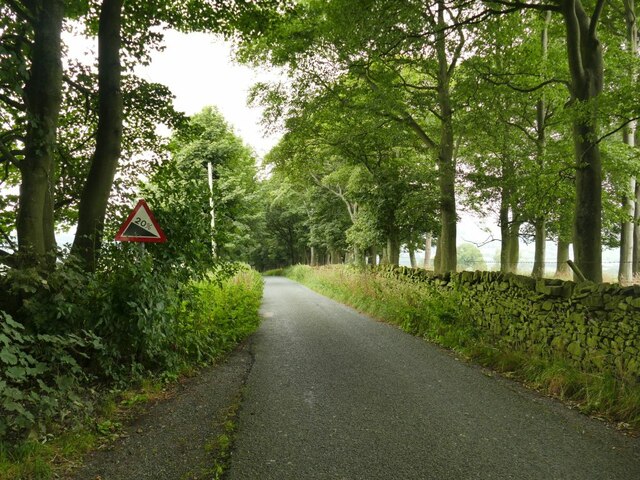
Visitors to Cat Gill Wood are treated to a variety of scenic trails, allowing them to explore the forest at their own pace. The well-maintained paths wind through the wood, offering glimpses of wildflowers, moss-covered rocks, and ancient tree stumps along the way. Birdwatchers will be delighted by the opportunity to spot various avian species, including woodpeckers, thrushes, and owls, while lucky visitors may even catch a glimpse of a red squirrel scurrying through the branches.

The wood is also home to a rich array of wildlife, with foxes, badgers, and deer among the creatures that call this place their habitat. Nature enthusiasts will appreciate the opportunity to immerse themselves in the peaceful ambiance and observe these animals in their natural environment.

Overall, Cat Gill Wood in Yorkshire is a truly captivating forest, offering a serene and immersive experience for nature lovers and those seeking respite from the outside world.

If you have any feedback on the listing, please let us know in the comments section below.

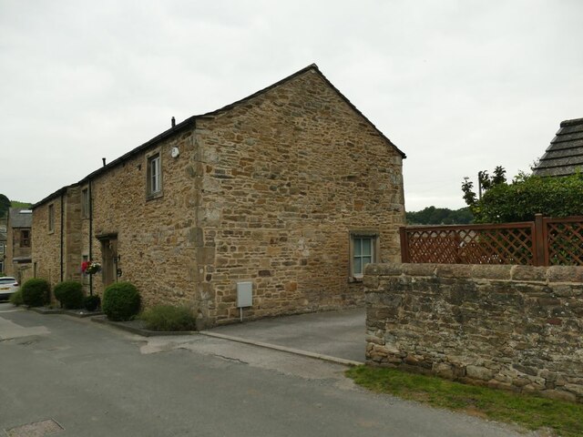
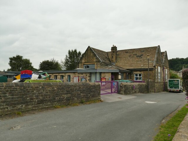
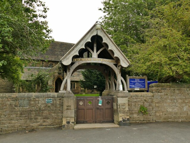
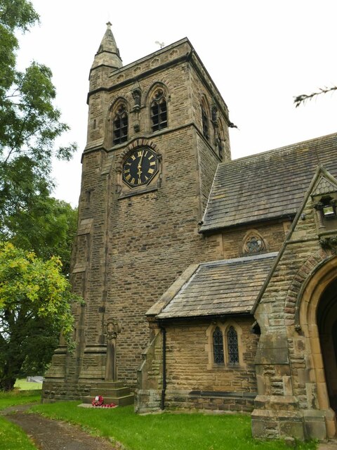
Cat Gill Wood Images

Images are sourced within 2km of 53.942569/-2.0718998 or Grid Reference SD9549. Thanks to Geograph Open Source API. All images are credited.

Pond at Carleton Park Carleton Park was once one of the deer parks of the Cliffords (Lords of Skipton); it is now a private estate offering grouse and pheasant shooting, but there are some public rights of way through it including one just to the left of the pond.
Pond at Carleton Park
Carleton Park was once one of the deer parks of the Cliffords (Lords of Skipton); it is now a private estate offering grouse and pheasant shooting, but there are some public rights of way through it including one just to the left of the pond.
Carleton Park Carleton Park was once one of the deer parks of the Cliffords (Lords of Skipton); it is now a private estate offering grouse and pheasant shooting, but there are some public rights of way through it including one just to the right of the pond.
Carleton Park
Carleton Park was once one of the deer parks of the Cliffords (Lords of Skipton); it is now a private estate offering grouse and pheasant shooting, but there are some public rights of way through it including one just to the right of the pond.
Path through a garden This looks to be a private garden of Quarry Hill House on the other side of the road, but there is a right of way along the left edge, through the stile seen here.
Path through a garden
This looks to be a private garden of Quarry Hill House on the other side of the road, but there is a right of way along the left edge, through the stile seen here.
Park Lane, Carleton The house in the middle distance is Quarry Hill House <a href="https://www.geograph.org.uk/photo/4753279">SD9648 : Quarry Hill Cottage, Park Lane</a>.
Park Lane, Carleton
The house in the middle distance is Quarry Hill House SD9648 : Quarry Hill Cottage, Park Lane.
Gradient sign approaching Carleton The sign indicates a descent of 20% as indicated by a double arrow on the map.
Gradient sign approaching Carleton
The sign indicates a descent of 20% as indicated by a double arrow on the map.
View of Carleton Seen from the road from Lothersdale.
View of Carleton
Seen from the road from Lothersdale.
Carleton Social Club On Park Lane.
Carleton Social Club
On Park Lane.
The centre of Carleton village A solo cyclist passes the junction in the village centre, next to the Swan Inn.
The centre of Carleton village
A solo cyclist passes the junction in the village centre, next to the Swan Inn.
The Swan Inn, Carleton Listed grade II (list entry 1301161).
The Swan Inn, Carleton
Listed grade II (list entry 1301161).
Detail of Carleton Old Library The 'library' sign is still above the door in bas-relief. Presumably now in residential use.
Detail of Carleton Old Library
The 'library' sign is still above the door in bas-relief. Presumably now in residential use.
Carleton Old Library It was converted in 2009 (see <a href="https://www.geograph.org.uk/photo/1532485">SD9749 : Former library, Carleton-in-Craven</a>) and presumably now in residential use.
Carleton Old Library
It was converted in 2009 (see SD9749 : Former library, Carleton-in-Craven) and presumably now in residential use.
Carleton Church of England Primary School A sign on the lower extension to the original school says it was added in 2000.
Carleton Church of England Primary School
A sign on the lower extension to the original school says it was added in 2000.
Carleton St Mary: lychgate The lychgate dates from 1888.
Carleton St Mary: lychgate
The lychgate dates from 1888.
Carleton St Mary: tower The tower was rebuilt in the 19th century along with the rest of the church but it contains three bells, two of them of 17th century date in a 15th century bellframe, and a clock made by a local man, William Cryer, in 1833. These were presumably saved from the old tower.
Carleton St Mary: tower
The tower was rebuilt in the 19th century along with the rest of the church but it contains three bells, two of them of 17th century date in a 15th century bellframe, and a clock made by a local man, William Cryer, in 1833. These were presumably saved from the old tower.
Carleton St Mary: war memorial The memorial is in the form of a stone Maltese cross.
Carleton St Mary: war memorial
The memorial is in the form of a stone Maltese cross.
Carleton St Mary: the innkeeper's tomb An interpretation board on site draws attention to this, one of few chest tombs in the churchyard and the only one so close to the church building (usually a privileged position).  Was it the lord of the manor? No, the local innkeeper, Mr Procter Hall.
Carleton St Mary: the innkeeper's tomb
An interpretation board on site draws attention to this, one of few chest tombs in the churchyard and the only one so close to the church building (usually a privileged position). Was it the lord of the manor? No, the local innkeeper, Mr Procter Hall.
Carleton St Mary: north side Viewed from the bottom of the churchyard.
Carleton St Mary: north side
Viewed from the bottom of the churchyard.
Carleton St Mary: lychgate plaque See <a href="https://www.geograph.org.uk/photo/6958854">SD9749 : Carleton St Mary: lychgate</a> for the lychgate as a whole. It was built in 1888 in memory of Thomas Edward Morris, former vicar of the parish.
Carleton St Mary: lychgate plaque
See SD9749 : Carleton St Mary: lychgate for the lychgate as a whole. It was built in 1888 in memory of Thomas Edward Morris, former vicar of the parish.
Show me another place!

Cat Gill Wood is located at Grid Ref: SD9549 (Lat: 53.942569, Lng: -2.0718998)

Division: West Riding

Administrative County: North Yorkshire

District: Craven

Police Authority: North Yorkshire

What 3 Words

///zips.engraving.driven. Near Skipton, North Yorkshire

Related Wikis

Fresh Radio

Fresh Radio was an Independent Local Radio station broadcasting to the Yorkshire Dales in northern England on two medium wave (AM) frequencies and three...

Broughton, Craven

Broughton is a village and civil parish in the Craven district of North Yorkshire, England. The village is on the A59 road approximately 3 miles (5 km...

Moor Music Festival

The Moor Music Festival was an annual music festival held initially on a farm in Addingham Moorside, near the town of Ilkley, West Yorkshire. For the 2009...
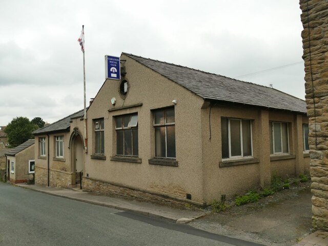
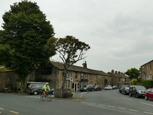
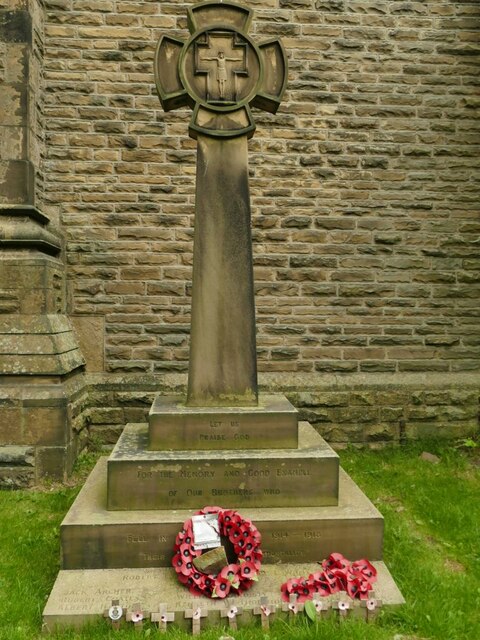
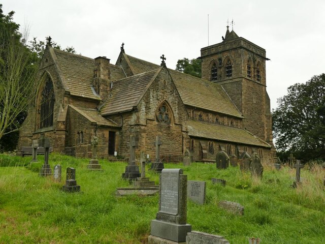
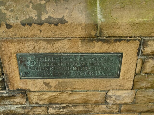
Carleton-in-Craven

Carleton-in-Craven is a small village and civil parish in the Craven district of North Yorkshire, England, and situated just over 1.5 miles (2.4 km) south...

Elslack railway station

Elslack railway station once served the small village of Elslack in North Yorkshire, England. The station was built by the Leeds and Bradford Extension...

Staincliffe Wapentake

Staincliffe, also known as Staincliff, was a wapentake of the West Riding of Yorkshire, England. The wapentake was named from a place called Staincliffe...

Eller Beck

The Eller Beck is a small river in North Yorkshire, England, that flows through the town of Skipton and is a tributary of the River Aire. Its channel was...

Elslack

Elslack is a village and civil parish in the Craven district of North Yorkshire, England, close to the border with Lancashire and 4 miles west of Skipton...

Related Videos

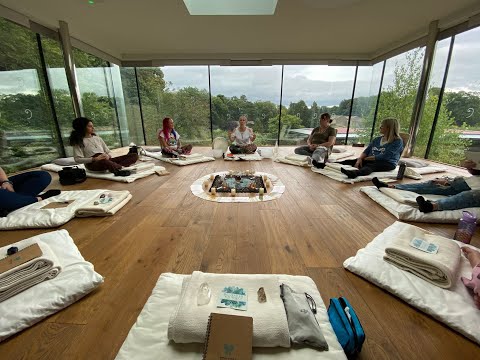
Metamorphosis UK Residential Retreat

2022 saw Tottem's first UK residential retreat 'Metamorphosis', take place at the stunning Broughton Sanctuary in the Yorkshire ...

Carleton-in-Craven

Carleton-in-Craven is a village in the Craven district of North Yorkshire, situated just over 2 km south-west from the market town of ...

Land Rover | Range Rover Experience | North Yorkshire UK | Off Roading

This is a partial video of my previous video in which we went about off roading experience offered by Land Rover. this video ...

Nearby Amenities

Located within 500m of 53.942569,-2.0718998
Barrier: cattle_grid
Lat/Long: 53.9396356/-2.0689143
Barrier: stile
Lat/Long: 53.9413504/-2.0701052
Barrier: stile
Lat/Long: 53.9410678/-2.0709478
Barrier: stile
Lat/Long: 53.9420299/-2.0659174
Barrier: stile
Lat/Long: 53.9416621/-2.0687716
Barrier: cattle_grid
Lat/Long: 53.9428796/-2.0776675
Barrier: cattle_grid
Lat/Long: 53.9406973/-2.0708694
Land Rover Experience
Description: Yellison Farm Barns
Lat/Long: 53.9428142/-2.0783195
Barrier: cattle_grid
Lat/Long: 53.9401136/-2.0691557
Barrier: cattle_grid
Lat/Long: 53.9399651/-2.0682553
Barrier: cattle_grid
Lat/Long: 53.9387551/-2.0710492
Barrier: cattle_grid
Lat/Long: 53.9415646/-2.0733897
The data included in this document is from www.openstreetmap.org. The data is made available under ODbL.

Have you been to Cat Gill Wood?

Leave your review of Cat Gill Wood below (or comments, questions and feedback).