Great Farley Wood
Wood, Forest in Worcestershire Bromsgrove
England
Great Farley Wood
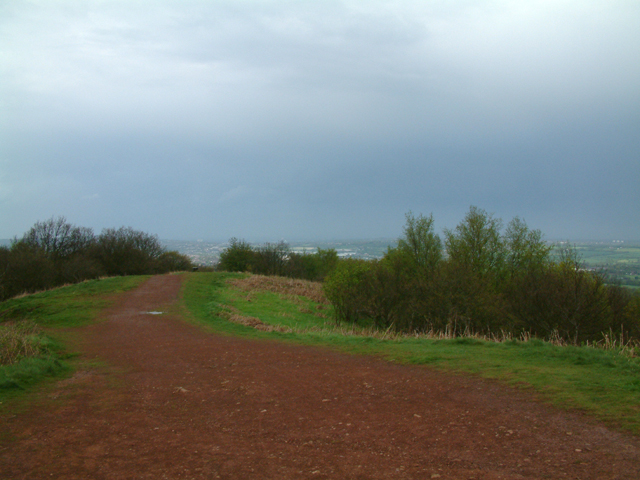
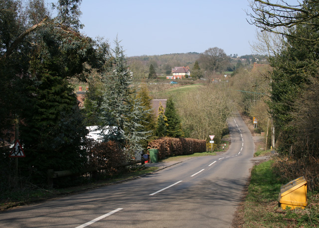
Great Farley Wood is a picturesque forest located in Worcestershire, England. It covers an area of approximately 500 acres and is renowned for its natural beauty and diverse wildlife. The wood is part of a larger forested area known as Farley Hill, which encompasses several smaller woods and meadows.
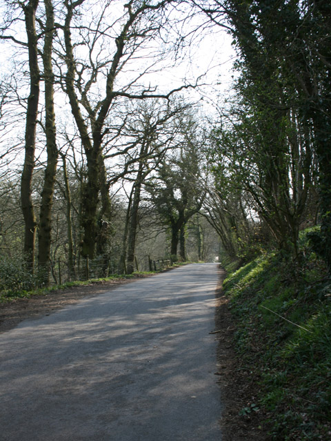
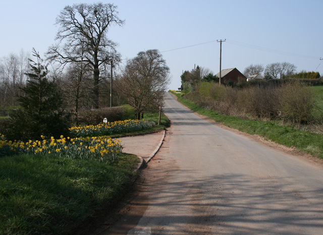
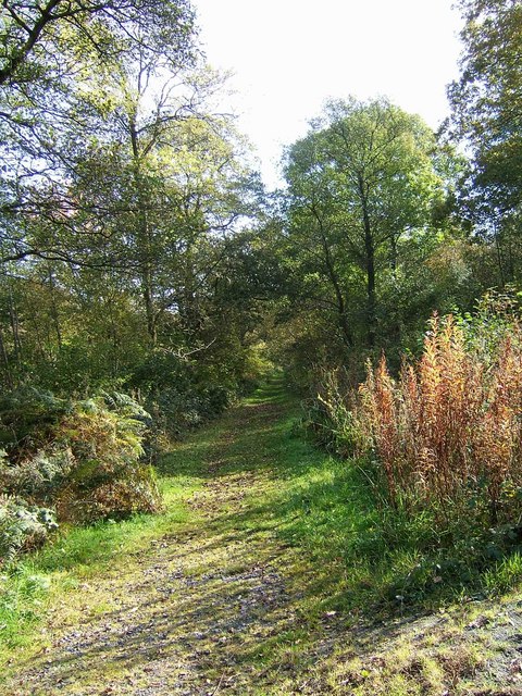
The wood is predominantly composed of deciduous trees, including oak, beech, and ash, which create a dense canopy that provides shade and shelter for a wide range of flora and fauna. Bluebells carpet the forest floor during springtime, creating a stunning display of vibrant colors. The wood is also home to various species of ferns, mosses, and wildflowers, adding to its natural charm.
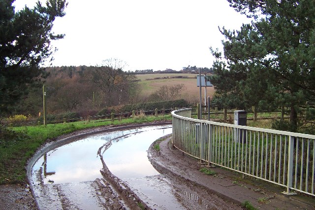
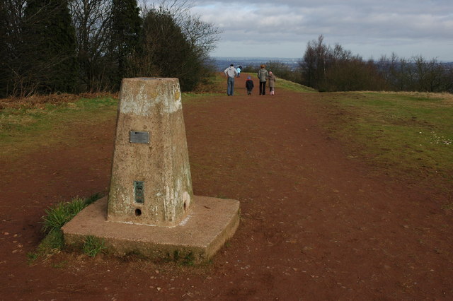
Great Farley Wood is not only a haven for nature enthusiasts but also a popular spot for outdoor activities. There are several well-maintained walking trails that wind through the forest, allowing visitors to explore its beauty at their own pace. These trails offer stunning views of the surrounding countryside and provide opportunities for birdwatching and wildlife spotting.
The wood is home to a rich variety of wildlife, including deer, foxes, badgers, and numerous bird species. Birdwatchers may catch a glimpse of woodpeckers, owls, and various songbirds. The presence of a small stream running through the wood further enhances its appeal and attracts a variety of aquatic life, including frogs, newts, and dragonflies.
Overall, Great Farley Wood is a natural gem in Worcestershire, offering visitors a tranquil escape and a chance to connect with nature. Whether it be for a leisurely walk, wildlife observation, or simply enjoying the serene surroundings, this forest is a must-visit destination for nature lovers.
If you have any feedback on the listing, please let us know in the comments section below.
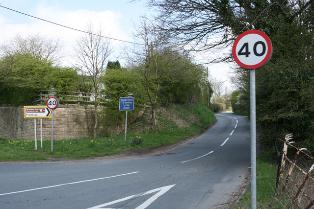
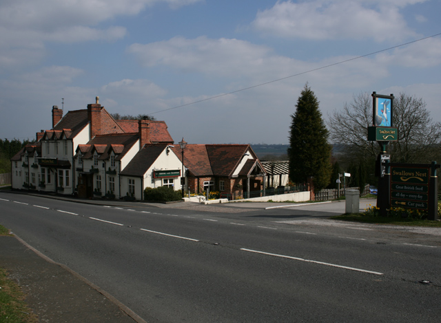
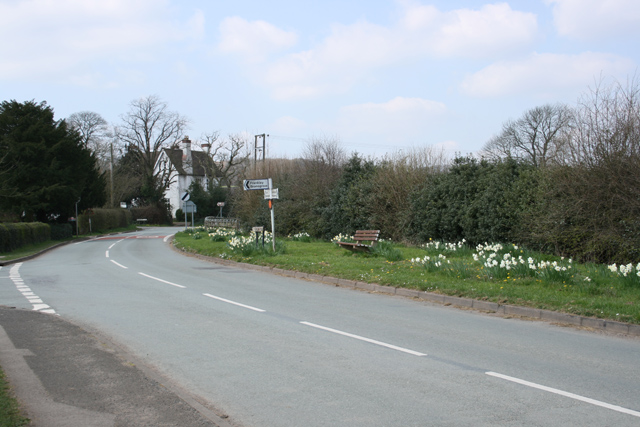
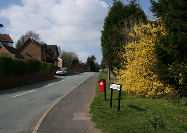
Great Farley Wood Images
Images are sourced within 2km of 52.402285/-2.0714332 or Grid Reference SO9578. Thanks to Geograph Open Source API. All images are credited.


Great Farley Wood is located at Grid Ref: SO9578 (Lat: 52.402285, Lng: -2.0714332)
Administrative County: Worcestershire
District: Bromsgrove
Police Authority: West Mercia
What 3 Words
///dance.bath.fight. Near Romsley, Worcestershire
Nearby Locations
Related Wikis

Castlebourne folly
The Castlebourne folly in the parish of Belbroughton, Worcestershire, England, was built as a sham castle towards the end of the eighteenth century and...

Bell End
Bell End is a village in the English county of Worcestershire. It is situated approximately 2 miles (3 km) south-east of Hagley on the A491, north of Bromsgrove...

Clent Hills
The Clent Hills lie 10 miles (16 km) south-west of Birmingham city centre in Clent, Worcestershire, England. The closest towns are Stourbridge and Halesowen...

Walton Hill
At 316 metres (1,037 ft) above sea level, Walton Hill is the highest point in the range of hills in northern Worcestershire known as the Clent Hills. It...

Bromsgrove (UK Parliament constituency)
Bromsgrove is a constituency in Worcestershire represented in the House of Commons of the UK Parliament since 2010 by Sajid Javid of the Conservative Party...
Waseley Hills Country Park
Waseley Hills Country Park is 150 acres (0.61 km2) a Country Park and Local Nature Reserve owned and managed by Worcestershire County Council's Countryside...

Romsley, Worcestershire
Romsley is a village and civil parish in the Bromsgrove District of Worcestershire, England, on the east side of the Clent Hills about 4 miles south of...
Uffmoor Wood
Uffmoor Wood is a semi-natural woodland in Worcestershire, in the English Midlands. It is one of over a thousand woods cared for by the Woodland Trust...
Nearby Amenities
Located within 500m of 52.402285,-2.0714332Have you been to Great Farley Wood?
Leave your review of Great Farley Wood below (or comments, questions and feedback).