Fenton Wood

Wood, Forest in Northumberland

England

Fenton Wood

A view across the plain from Common Loaning Lowland arable on the fertile floodplain of the River Till.

This photograph was taken during the Coronavirus (COVID-19) pandemic of 2020/21/22.
A view across the plain from Common Loaning Credit: James T M Towill

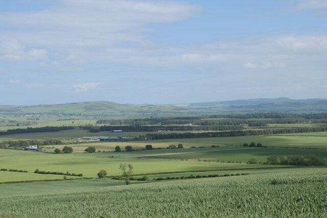
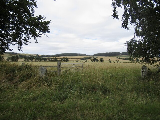
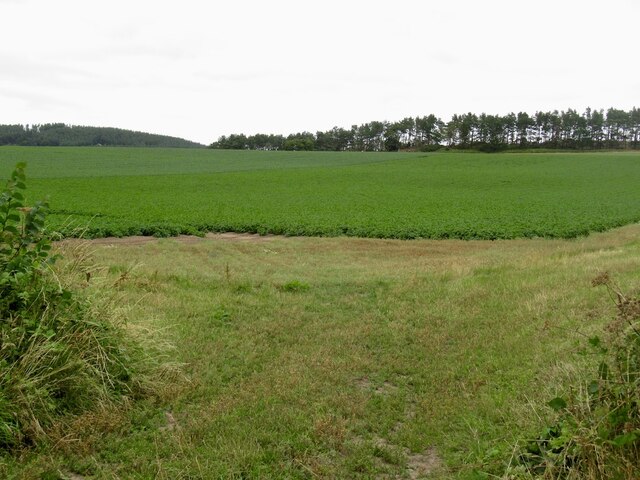
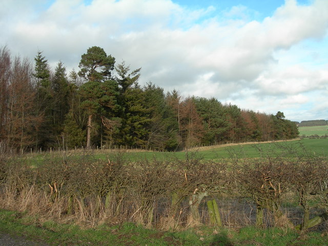
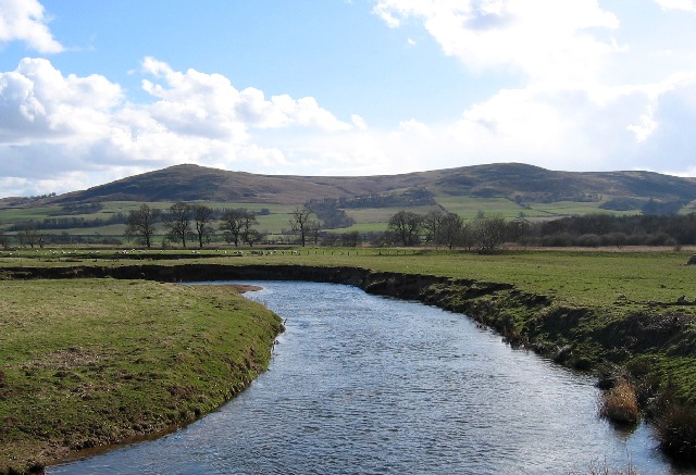
Fenton Wood is a picturesque forest located in the county of Northumberland, England. Covering an expansive area, it is nestled in the heart of the stunning Northumberland National Park, which is renowned for its natural beauty and diverse wildlife.

This ancient woodland is a haven for nature enthusiasts and hikers alike. The forest is predominantly composed of native broadleaf trees such as oak, ash, and birch, creating a rich and vibrant ecosystem. The dense canopy provides shade and shelter for an array of plant species, including bluebells, ferns, and wild garlic, which carpet the forest floor in spring.

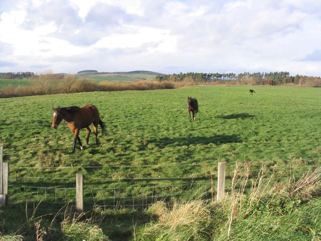
Fenton Wood is home to a variety of wildlife, making it a popular spot for birdwatchers and animal lovers. Visitors may catch a glimpse of red squirrels darting between the trees or spot a deer grazing in the glades. The forest is also frequented by various bird species, including woodpeckers, owls, and songbirds, which fill the air with their melodious tunes.

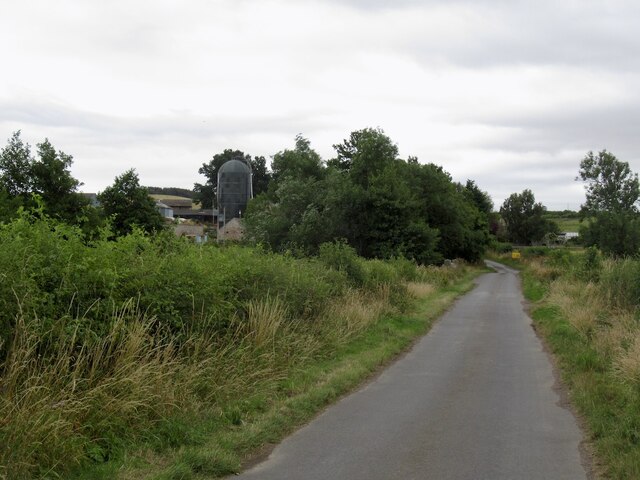
The woodland offers a network of well-maintained trails, allowing visitors to explore its beauty on foot or by bicycle. These paths wind their way through the forest, leading to enchanting viewpoints and hidden gems. The tranquility and serenity of Fenton Wood make it an idyllic place for a leisurely stroll or a peaceful picnic amidst nature.

Overall, Fenton Wood in Northumberland is a captivating forest that showcases the natural wonders of the region. Its ancient trees, diverse flora, and abundant wildlife make it a must-visit destination for those seeking solace in the great outdoors.

If you have any feedback on the listing, please let us know in the comments section below.
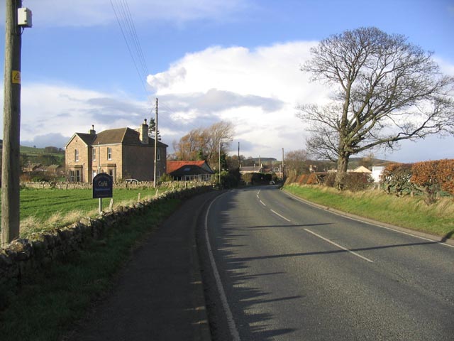
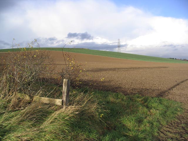
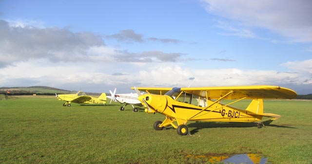
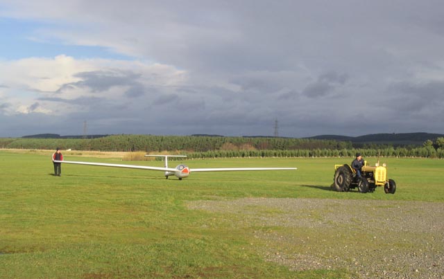
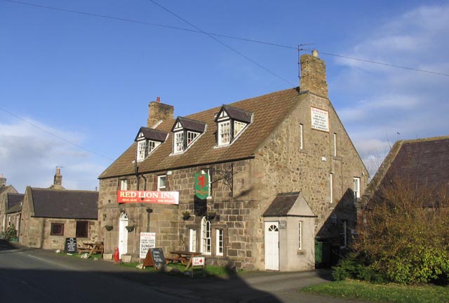
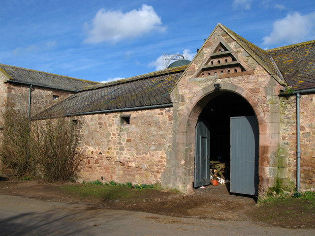
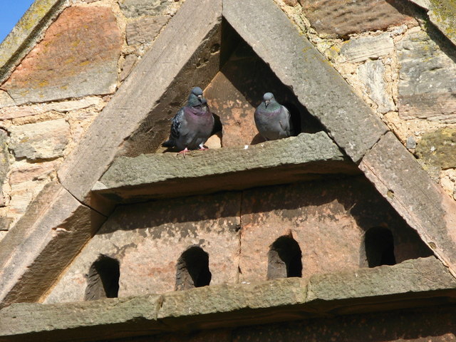
Fenton Wood Images

Images are sourced within 2km of 55.602021/-2.0784064 or Grid Reference NT9534. Thanks to Geograph Open Source API. All images are credited.

A view across the plain from Common Loaning Lowland arable on the fertile floodplain of the River Till.

This photograph was taken during the Coronavirus (COVID-19) pandemic of 2020/21/22.
A view across the plain from Common Loaning
Lowland arable on the fertile floodplain of the River Till. This photograph was taken during the Coronavirus (COVID-19) pandemic of 2020/21/22.
A July evening by the River Till A beautiful, humid July evening by the River Till upstream of Redscar Bridge.  The Cheviot Hills provide the backdrop here.

This photograph was taken during the Coronavirus (COVID-19) pandemic of 2020/21/22.
A July evening by the River Till
A beautiful, humid July evening by the River Till upstream of Redscar Bridge. The Cheviot Hills provide the backdrop here. This photograph was taken during the Coronavirus (COVID-19) pandemic of 2020/21/22.
Kimmerston
Kimmerston
Kimmerston
Kimmerston
Field above Kimmerston
Minor  road  junction  on  A697  to  Milfield  Hill  and  beyond
Minor road junction on A697 to Milfield Hill and beyond
West Fenton Farm View towards West Fenton Farm from East Fenton
West Fenton Farm
View towards West Fenton Farm from East Fenton
Borders Gliding Club, Milfield A Motor Falke motor glider in the foreground with towing aircraft beyond (2 Pawnees and a Piper Super Cub).
Borders Gliding Club, Milfield
A Motor Falke motor glider in the foreground with towing aircraft beyond (2 Pawnees and a Piper Super Cub).
Follow the leader Horses in a field near Redscar Bridge.
Follow the leader
Horses in a field near Redscar Bridge.
Approaching Milfield from the Southwest
Ploughed field Looking towards Whitton Hill.
Ploughed field
Looking towards Whitton Hill.
Aircraft at Milfield airfield Two Pawnees and a Piper Super Cub at the Borders Gliding Club at Milfield.
For more information about Borders Gliding Club, see :- <span class="nowrap"><a title="www.bordersgliding.co.uk" rel="nofollow ugc noopener" href="http://www.bordersgliding.co.uk">Link</a><img style="margin-left:2px;" alt="External link" title="External link - shift click to open in new window" src="https://s1.geograph.org.uk/img/external.png" width="10" height="10"/></span>
Aircraft at Milfield airfield
Two Pawnees and a Piper Super Cub at the Borders Gliding Club at Milfield. For more information about Borders Gliding Club, see :- LinkExternal link
A tractor towing a glider at Milfield airfield A glider coming back to the Borders Gliding Club hangar at Milfield. For more information about Borders Gliding Club, see :- <span class="nowrap"><a title="www.bordersgliding.co.uk" rel="nofollow ugc noopener" href="http://www.bordersgliding.co.uk">Link</a><img style="margin-left:2px;" alt="External link" title="External link - shift click to open in new window" src="https://s1.geograph.org.uk/img/external.png" width="10" height="10"/></span>
A tractor towing a glider at Milfield airfield
A glider coming back to the Borders Gliding Club hangar at Milfield. For more information about Borders Gliding Club, see :- LinkExternal link
The Red Lion Inn at Milfield
RAF Milfield war memorial The heading on the metal plaque reads:-

TO HONOUR THE MEN AND
WOMEN THAT SERVED AT
RAF MILFIELD FROM 1941-1946
AND TO THOSE THAT LOST
THEIR LIVES AT THIS FACILITY
RAF Milfield war memorial
The heading on the metal plaque reads:- TO HONOUR THE MEN AND WOMEN THAT SERVED AT RAF MILFIELD FROM 1941-1946 AND TO THOSE THAT LOST THEIR LIVES AT THIS FACILITY
Strip of mature woodland North of Floddenford Plantation
Strip of mature woodland
North of Floddenford Plantation
Kimmerston farm steading and doocot
Dovecote at Kimmerston Farm
Show me another place!

Fenton Wood is located at Grid Ref: NT9534 (Lat: 55.602021, Lng: -2.0784064)

Unitary Authority: Northumberland

Police Authority: Northumbria

What 3 Words

///boosted.perused.because. Near Ford, Northumberland

Nearby Locations

Fenton Wood

Related Wikis

Maelmin Henge

Maelmin Henge is modern interpretation/reconstruction of a henge monument near the village of Milfield, Northumberland in the Till Valley.It was built...

RAF Milfield

Royal Air Force Milfield or more simply RAF Milfield is a former Royal Air Force station which operated during the Second World War, located near Milfield...

Milfield

Milfield is a village in Northumberland, England about 3 miles (5 km) northwest of Wooler. The A697 road passes through the village. == History == Milfield...

Glendale, Northumberland

Glendale is the name of a valley in North Northumberland that runs from the Cheviot Hills at Kirknewton onto the Milfield Plain, formed by the River Glen...

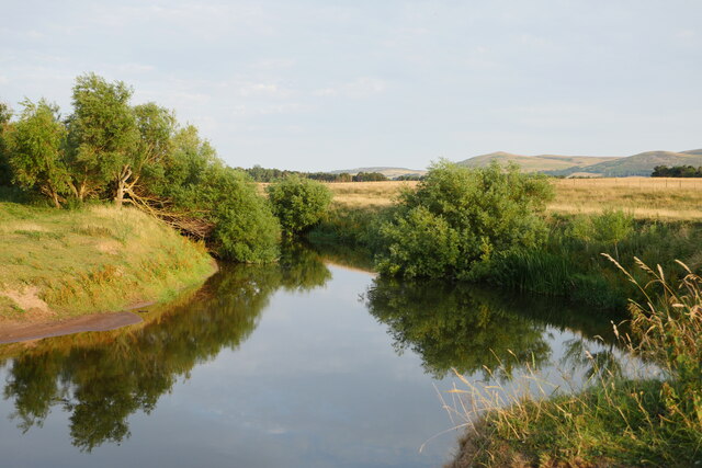
River Glen, Northumberland

The River Glen is a seven mile long tributary of the River Till flowing through Northumberland, England. The College Burn and Bowmont Water, both flowing...

Nesbit, Northumberland

Nesbit is a hamlet and former civil parish, now in the parish of Doddington, Northumberland, England. It was once the site of a medieval village. In maps...

Ford, Northumberland

Ford is a small village and civil parish in Northumberland, England, about 13 miles (21 km) from Berwick-upon-Tweed. The parish also includes Etal. �...

Ford Castle

Ford Castle is a Grade I listed building situated at a shallow crossing point on the River Till, Ford, Northumberland, England. The castle dates from about...

Nearby Amenities

Located within 500m of 55.602021,-2.0784064
Power: tower
Lat/Long: 55.5988453/-2.0751311
Power: tower
Lat/Long: 55.6011178/-2.0796251
Power: tower
Lat/Long: 55.603546/-2.0845989
The data included in this document is from www.openstreetmap.org. The data is made available under ODbL.

Have you been to Fenton Wood?

Leave your review of Fenton Wood below (or comments, questions and feedback).